Salt Lick Creek Crossing

Total Miles0.8
Technical Rating
4Moderate
Best TimeSpring, Summer, Fall
Trail TypeFull-Width Road
Accessible By
Open Trail Map

Trail Overview

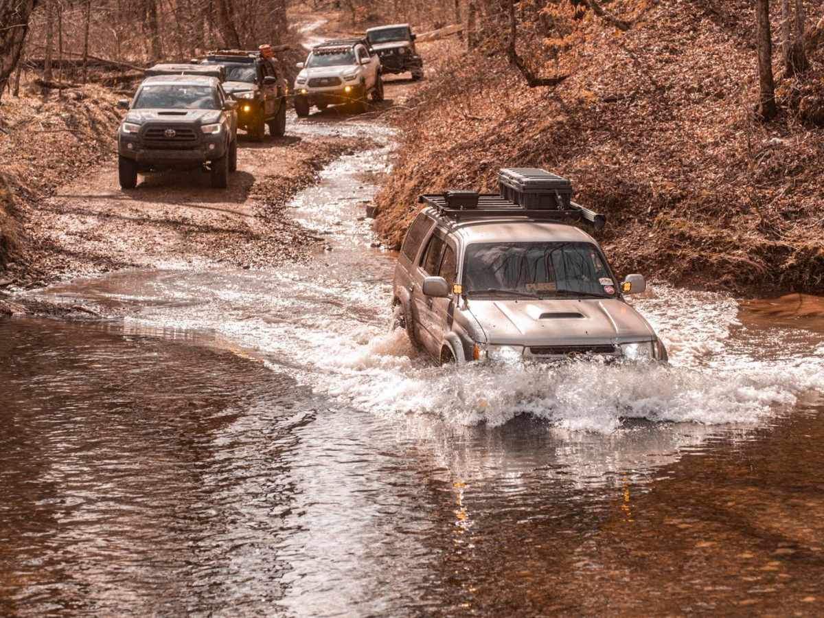
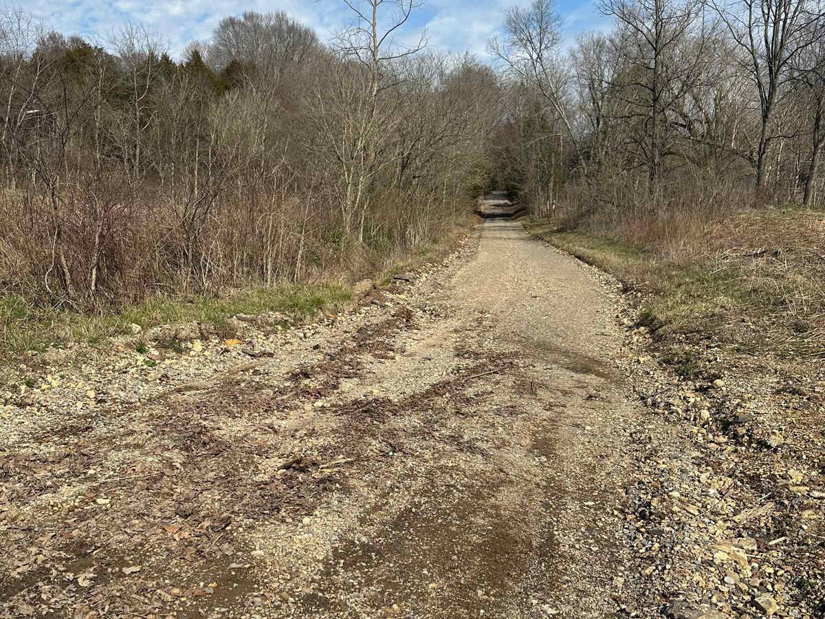
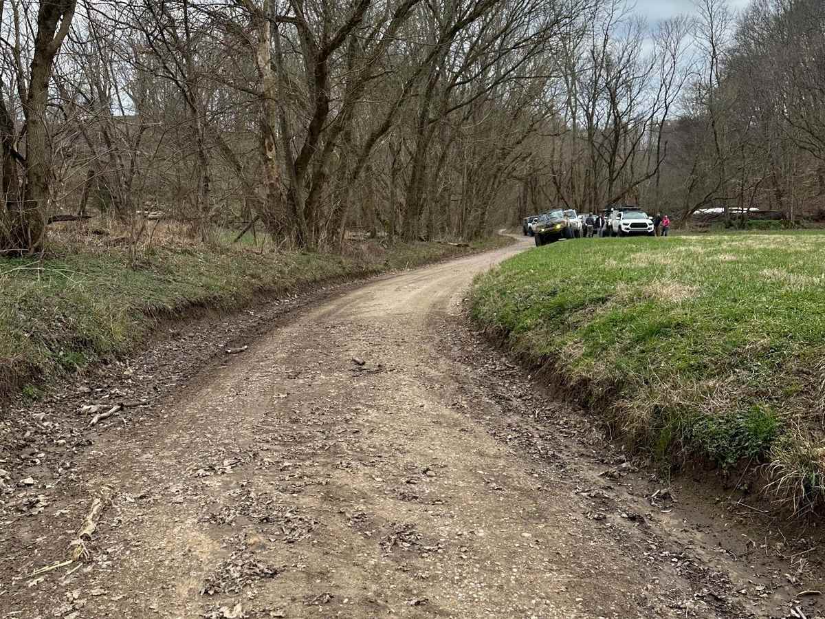
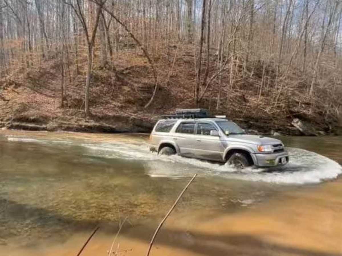
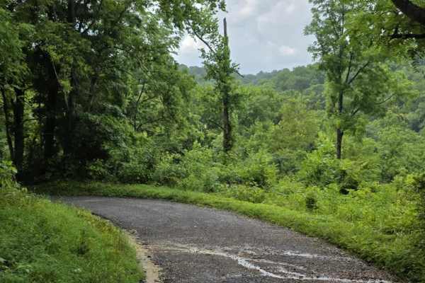
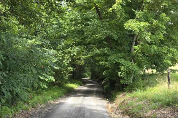
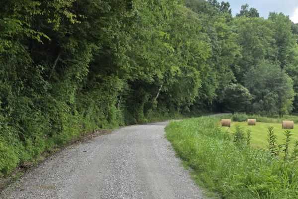
Salt Lick Creek is one of the larger and deeper creeks you will have to cross during the Macon Country Tour ride. The trail leading up to and following the crossing is not technical, however, depending on conditions, the crossing may be too deep for some vehicles. There is no bypass on this direct road around the creek.

Photos of Salt Lick Creek Crossing

Difficulty

The trail difficulty overall could be rated as easy, but the creek crossing itself can be up to a foot or more deep. Walking the crossing by foot to judge the depth and feeling the creek bottom would be advised if it appears to be deeper than a foot.

History

This is part of the Macon County Tour (MCT).

Technical Rating

4

Status Reports

Add Status Report
Drew Gerhart
Nov 05, 2024
2024 Ford Bronco
Open
Muddy/Wet
Trail was slightly slick due to leaves down and a light rain. Water level was very low and manageable.

Salt Lick Creek Crossing Trail can be accessed by the following ride types:

  • 50 Inch
  • 60 Inch
  • High Clearance
  • Full Width

Salt Lick Creek Crossing Map

The onX Offroad Difference

onX Offroad combines trail photos, descriptions, difficulty ratings, width restrictions, seasonality, and more in a user-friendly interface. Available on all devices, with offline access and full compatibility with CarPlay and Android Auto. Discover what you're missing today!

Open Trail Map