Trail Overview
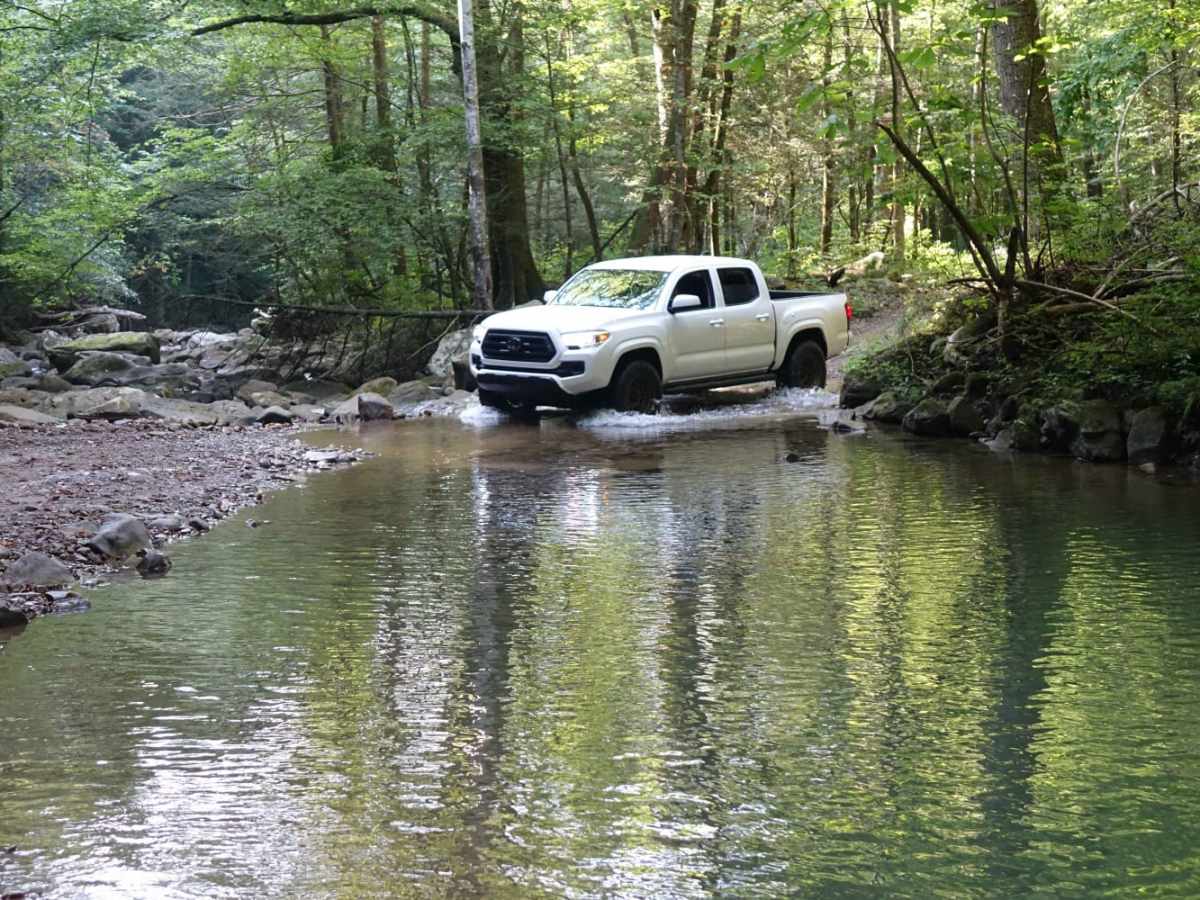
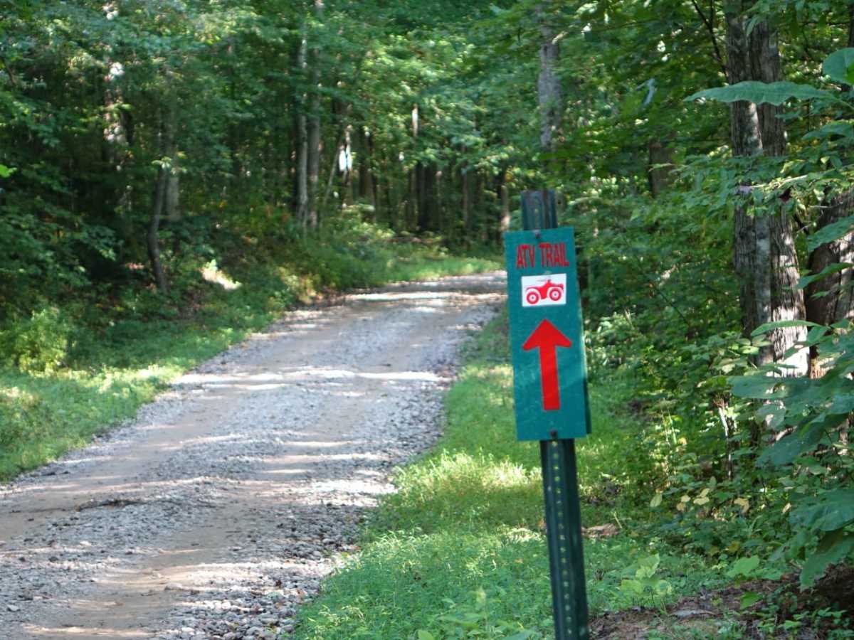
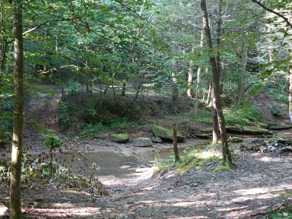
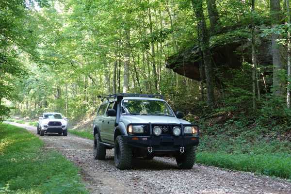
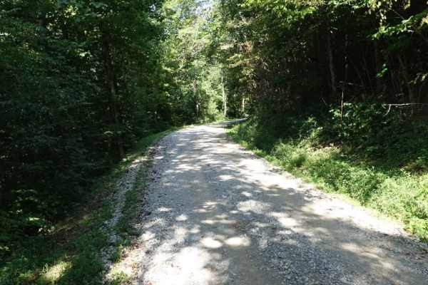
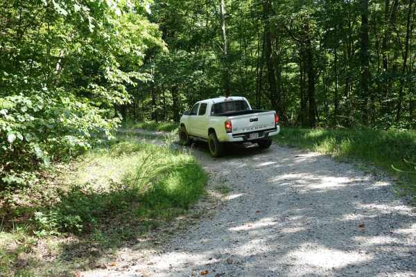
Little Rock Road is a scenic 5.5-mile point-to-point route perfect for beginners and stock four-wheel-drive vehicles looking to explore a mix of lush forests, historic landmarks, and accessible water features. Connecting Stephens Knob Road with Jellico Creek and Angel Mountain, this trail climbs from a minimum elevation of 1,058 feet to a maximum of 1,619 feet, offering roughly 700 feet of cumulative elevation gain. The northern portion consists of well-maintained gravel, but as you head south, the surface transitions to a more rugged, unpaved track where you will encounter a few rocky sections and straightforward water crossings. Under normal conditions, these stream crossings are highly stock-friendly, though high-water events after heavy rains can increase the difficulty.
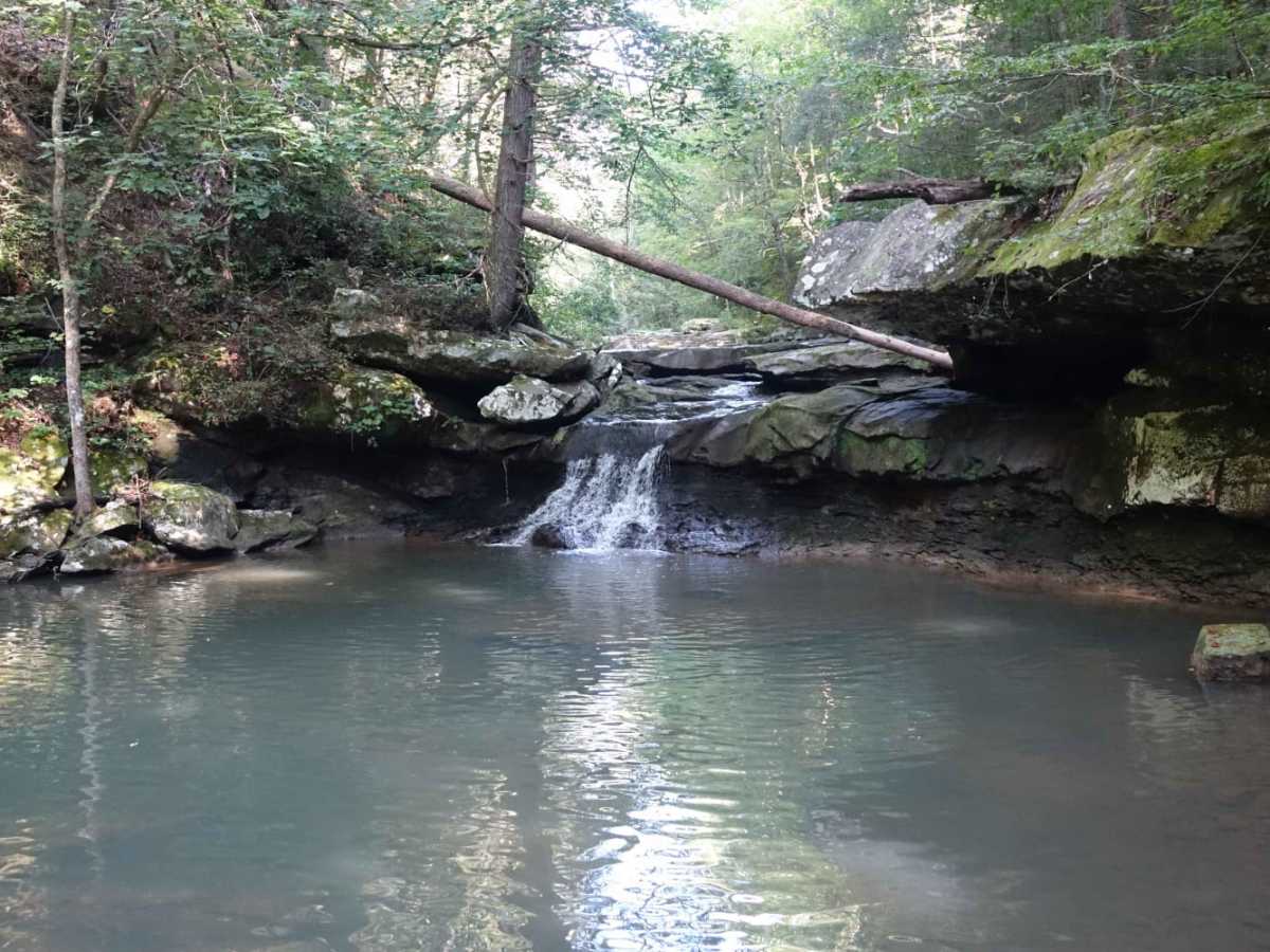
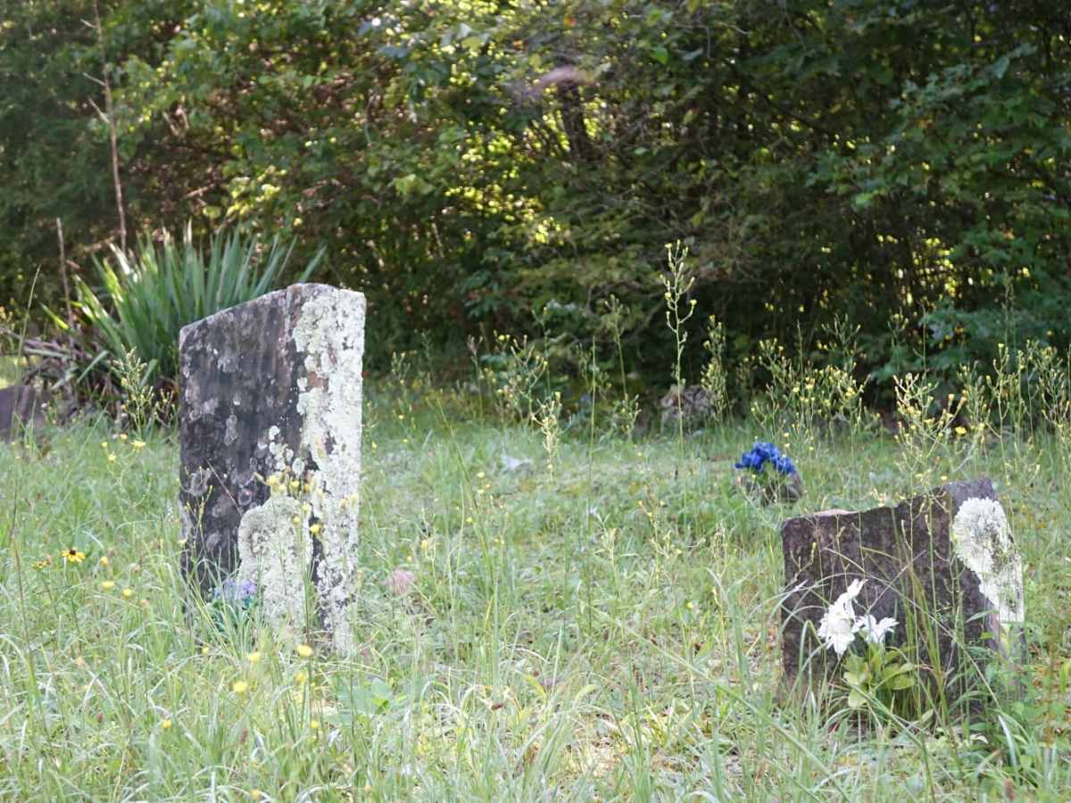
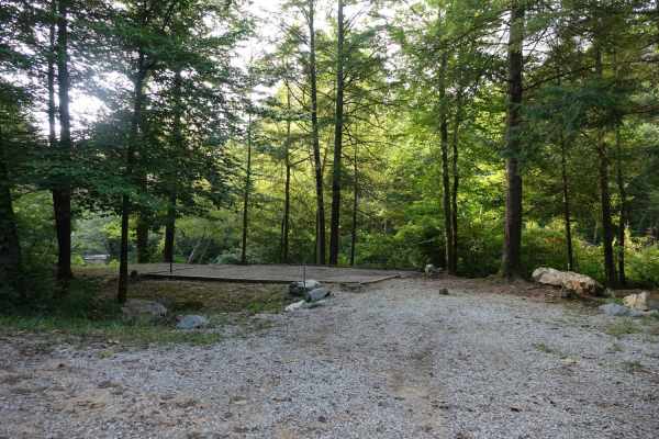
Scenic highlights along the route include several waterfalls that can be reached via a short walk along the creek or a quick scramble down the bank. Explorers will also pass a historic graveyard, a few local residences before the road transitions to pavement, and several primitive camping spots accessible via short side spurs. Cell service is spotty near the southern end but improves significantly as you travel north toward more populated areas. Rated a 2 out of 10 on the technical scale, this trail is suitable for high-clearance four-wheel-drive vehicles, SxSs, and dirt bikes, making it an excellent year-round day trip or gateway to longer overland adventures in the region.