Trail Overview
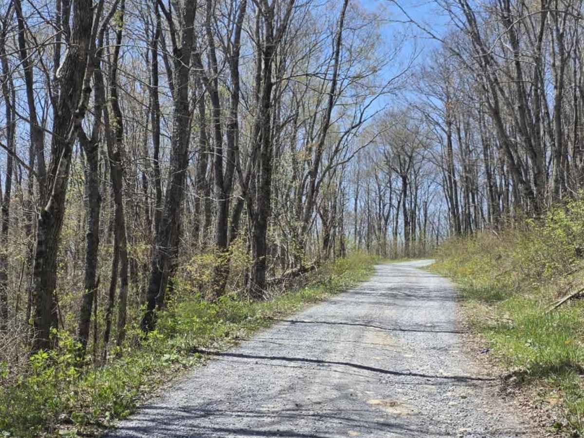
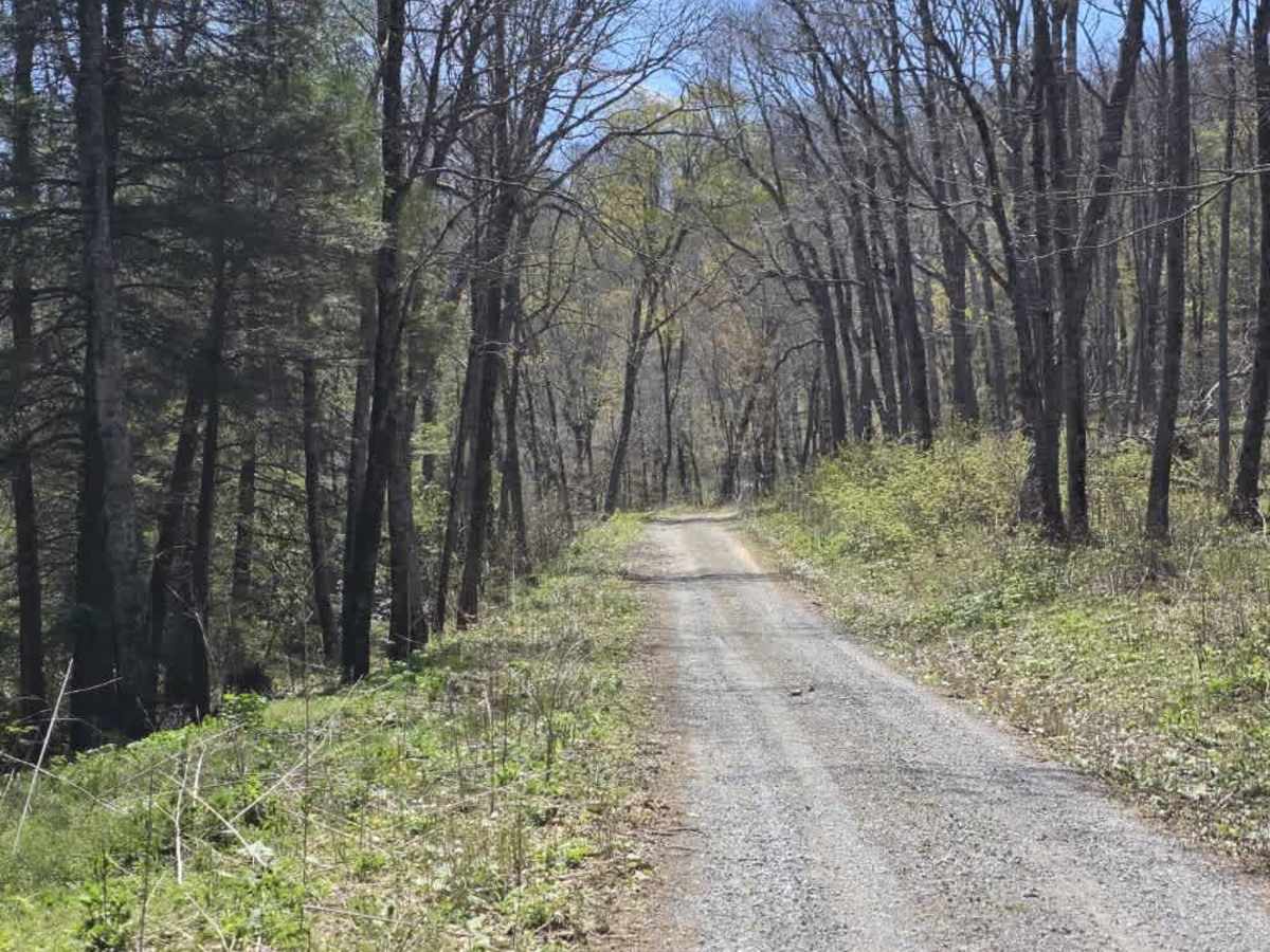
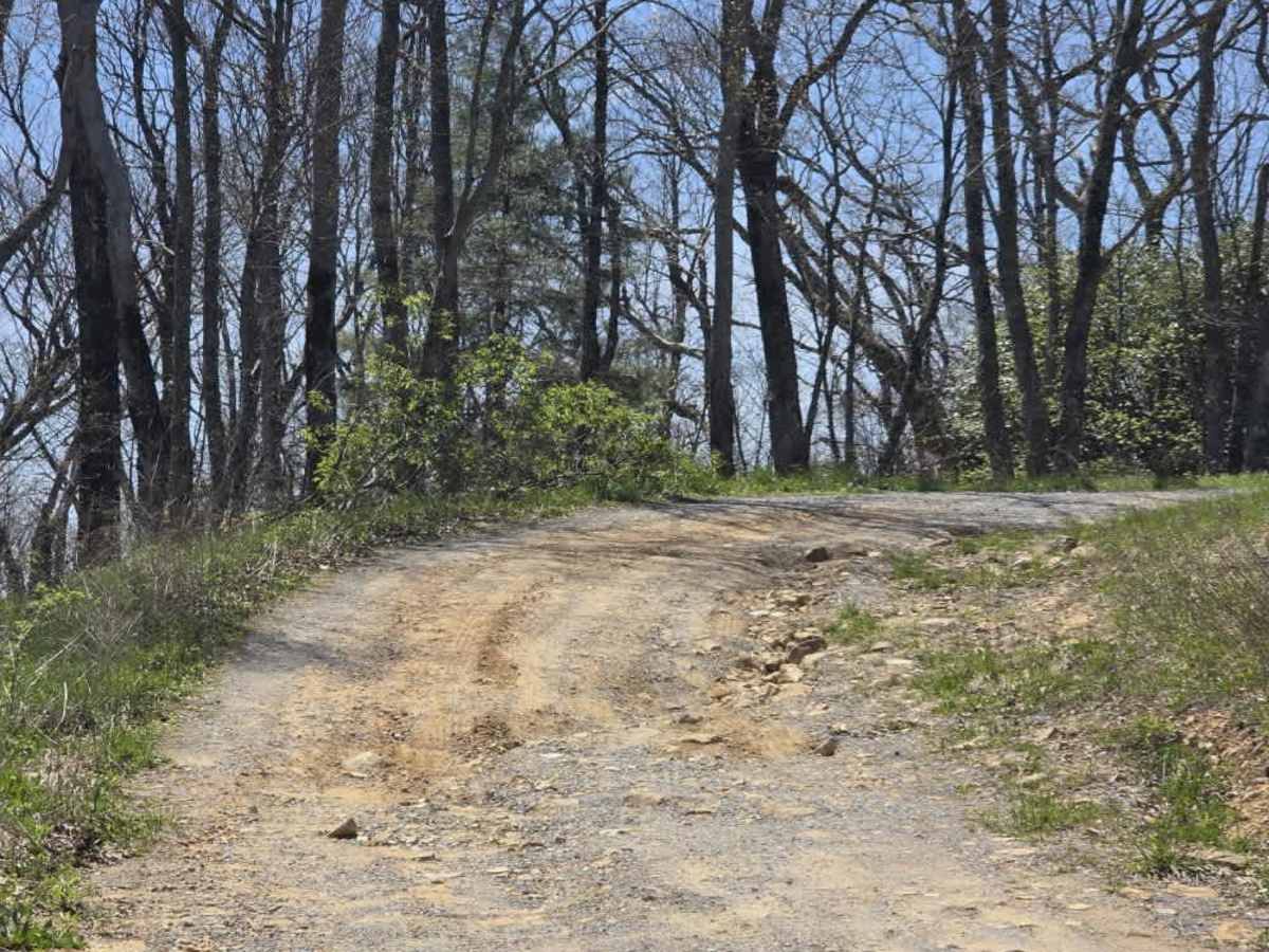
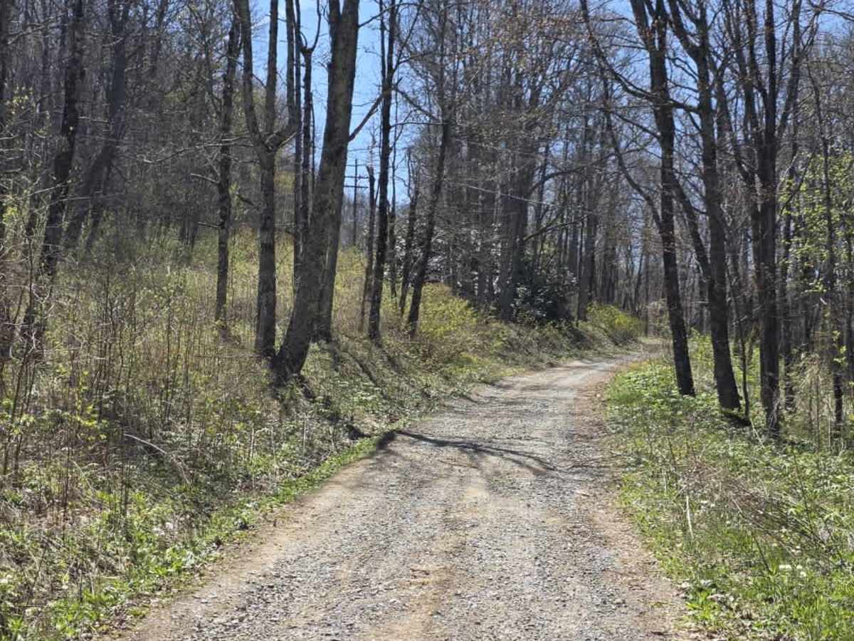
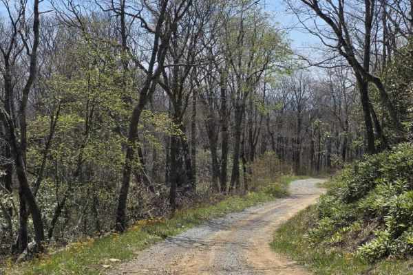
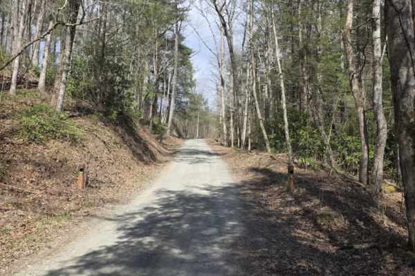
Holston Mountain is an easy, maintained gravel trail that runs out-and-back to a prominent ridgeline with expansive views. The surface is generally consistent with gentle grades, though light ruts can appear in spots. The road is straightforward and includes several pull-offs where drivers can safely stop to enjoy the scenery or set up a quick picnic.
Along the route, the trail passes near the RF-4C Phantom Jet Crash Site and Memorial. Visitors are encouraged to be respectful—many choose to leave a small token and pay their respects. Debris from the crash can still be found along the mountainside in the area; do not disturb or remove anything.
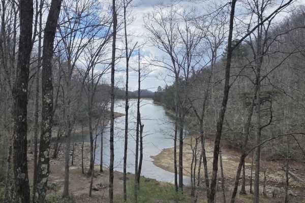
The trail continues to a collection of radio towers at the top, where outstanding views open up across surrounding valleys, mountains, and nearby towns. Overall, Holston Mountain offers a rewarding drive with meaningful points of interest and minimal technical difficulty.
Difficulty
Holston Mountain is rated a 1 due to its maintained gravel surface, gentle grades, and lack of sustained obstacles. While minor ruts may be encountered, they do not present significant clearance or traction challenges under normal conditions.
The route is accessible to most vehicles, with high-clearance 2WD capable of completing the trail when proper line choice is used. Pull-offs and a consistent road surface keep the experience predictable. Overall, the sustained experience aligns with an easy dirt or rocky road suitable for most 4WD and high-clearance 2WD vehicles.
History
The RF-4C Phantom Jet Crash Site marks the location of a tragic U.S. Air Force training accident that occurred on Holston Mountain. The aircraft, a reconnaissance variant of the F-4 Phantom, went down during a low-level training mission, and both crew members lost their lives. Today, the site serves as a memorial honoring their service and sacrifice, with visitors often leaving small tokens of respect. Remnants of the aircraft can still be found scattered along the mountainside, serving as a powerful reminder of the event and its history.