Trail Overview
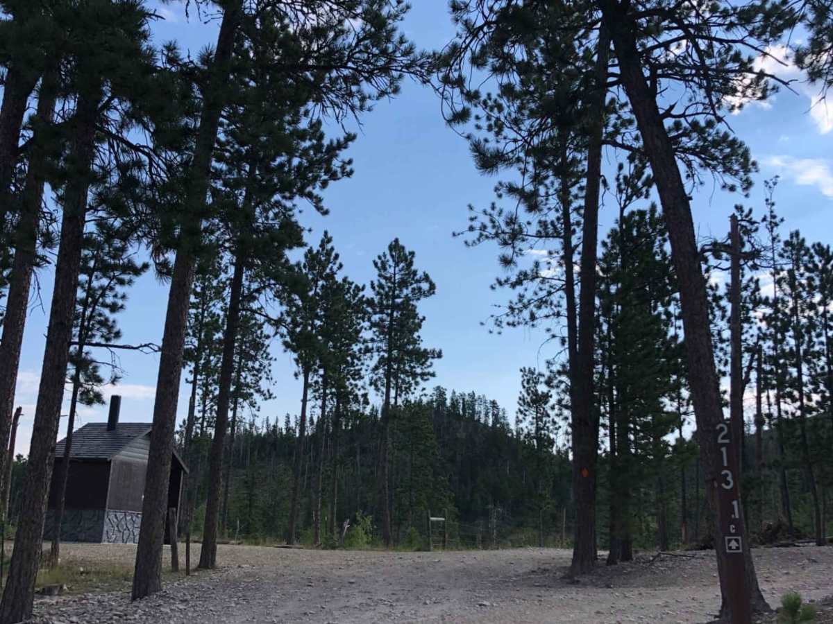
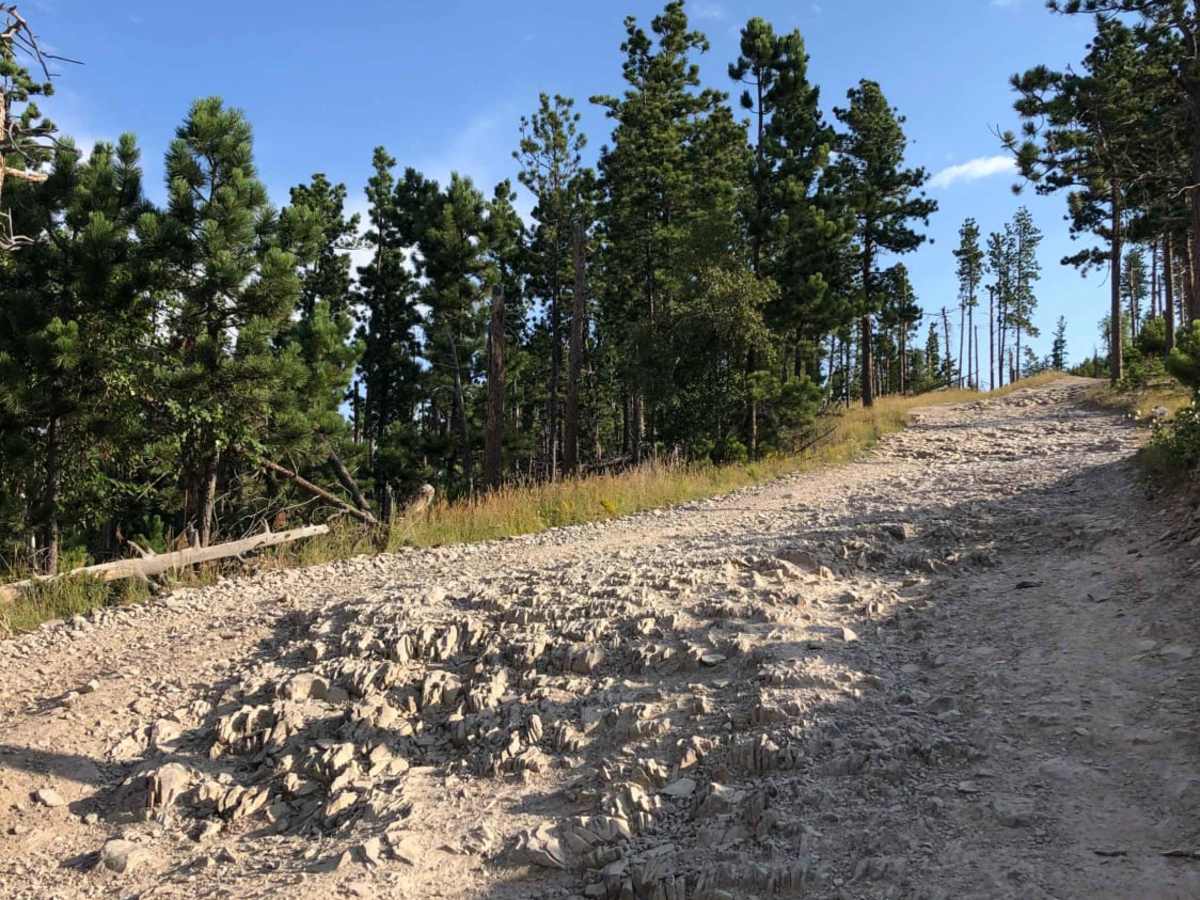
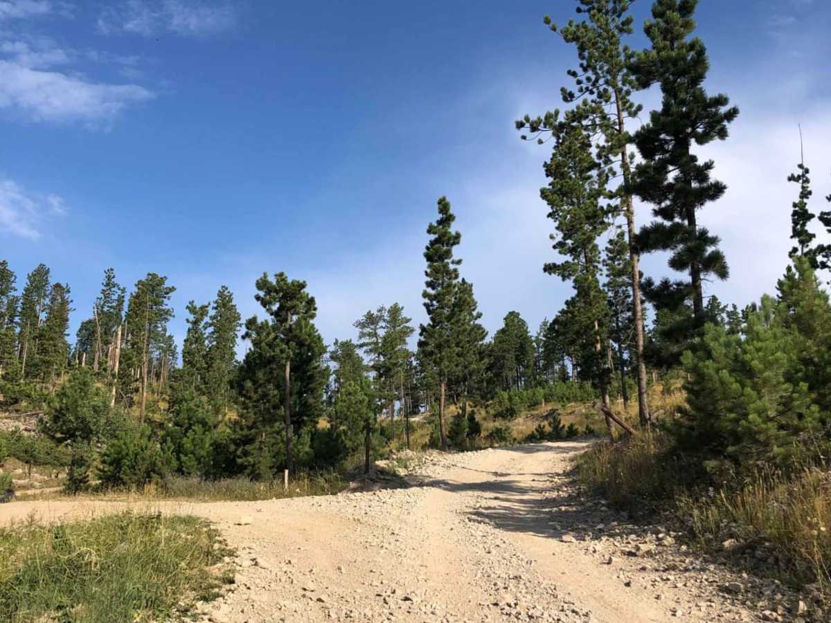
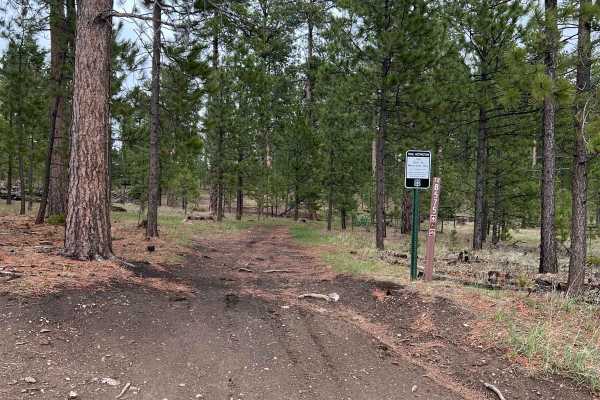
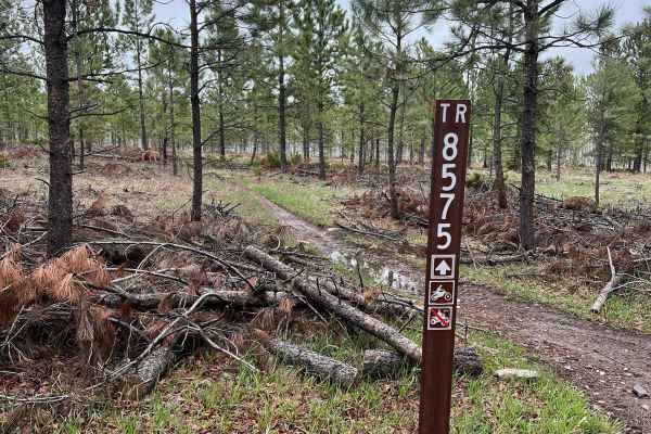
The trail to the Custer Peak Fire Lookout is an exceptional excursion for off-roaders looking to experience breathtaking 360-degree views of the Black Hills National Forest from an elevation of over 6,700 feet. Spanning approximately 4.4 miles from its start off US Highway 385, this route primarily follows Forest Service Road 216, climbing steadily through dense pine stands and scenic high-country meadows. The trail is rated a moderate 4, offering a few minor obstacles and rougher dirt sections that require some caution but are easily navigated by high-clearance four-wheel-drive vehicles, ATVs, or UTVs. Along the way, riders will experience an elevation gain of nearly 1,000 feet as they climb from the highway to the historic peak.
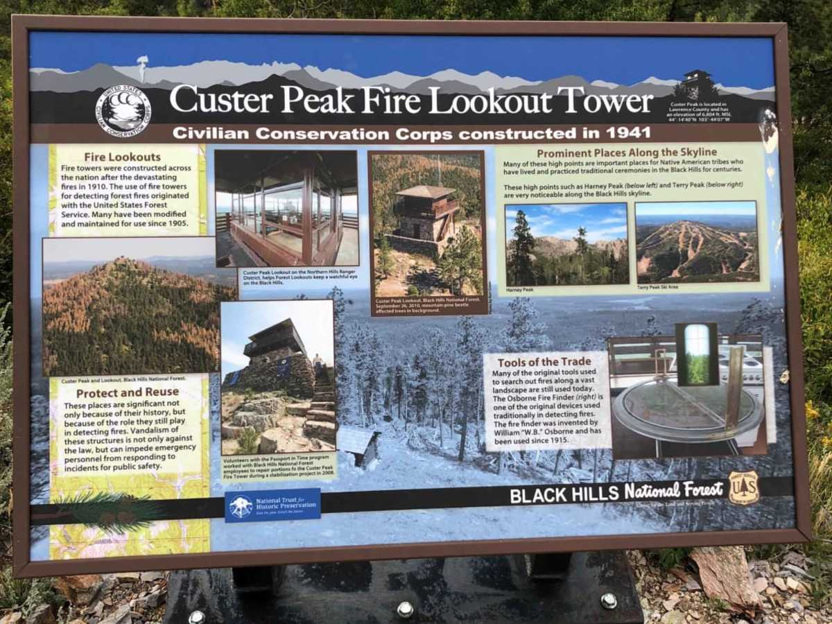
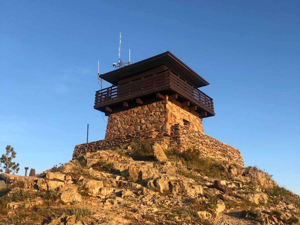
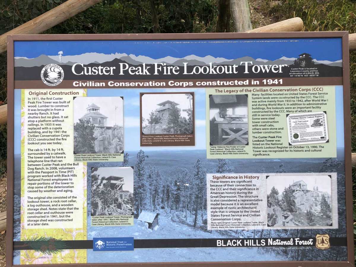
At the summit, visitors can explore the historic Custer Peak Fire Lookout, which was originally established in 1911 and rebuilt by the Civilian Conservation Corps in 1941 using local materials. This stone and wood structure remains an active and iconic landmark, providing clear-day vistas that stretch across South Dakota's northern Black Hills. The route's unpaved dirt and rock surface can become muddy and slick during wet weather or late spring snowmelt, making seasonal awareness essential before heading out. High-clearance vehicles are ideal for navigating the rocky, winding segments near the peak, where the road narrows and climbs tightly toward the lookout tower.
History
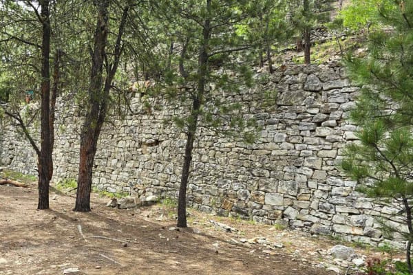
The Custer Peak Fire Lookout has served as a vital forest monitoring station since 1911. The original structure was replaced in 1935 with a cupola building. In 1941, the Civilian Conservation Corps (CCC) constructed the stone and timber lookout tower that stands today, utilizing native stone quarried from the mountain itself. It remains one of the few remaining historic fire lookouts in the Black Hills.
Access Description
The trail is located within the Black Hills National Forest and is subject to US Forest Service regulations. Off-highway vehicles (OHVs) must display a valid South Dakota trail permit or temporary permit. Seasonal closures may apply depending on snowpack and spring trail conditions, typically restricting motorized access during winter months. Visitors should check the current Motor Vehicle Use Map (MVUM) for up-to-date access status.