Trail Overview
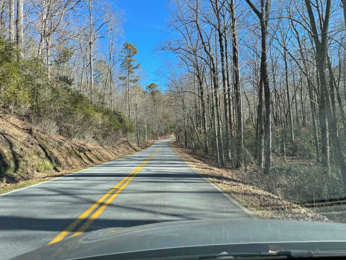
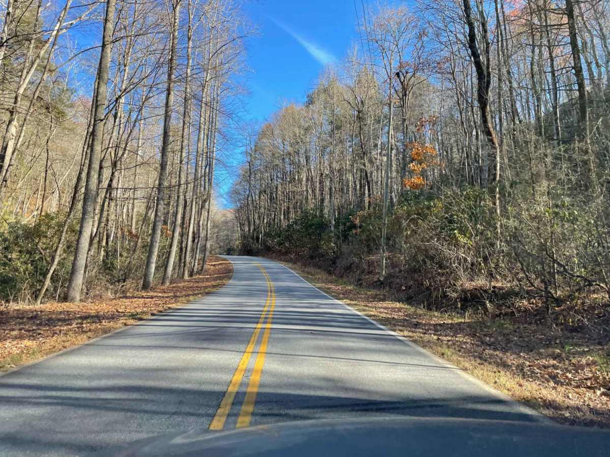
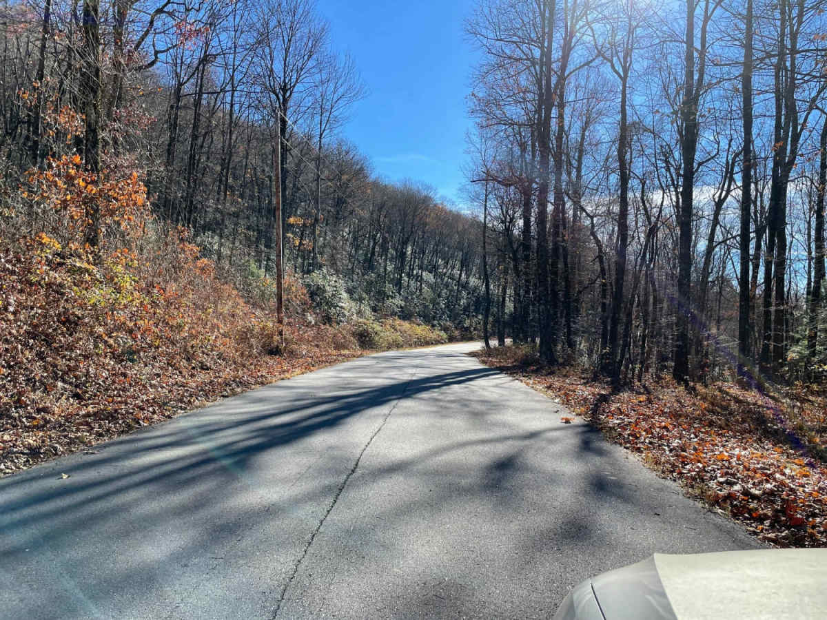
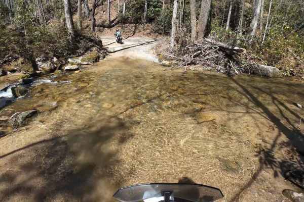
Sassafras - SCAR Alternate is an easy, scenic out-and-back trail designed for any offroad enthusiast looking to stand atop South Carolina's highest point of elevation. This 8.7-mile route serves as a fantastic spur from the main South Carolina Adventure Route (SCAR) loop, climbing from an elevation of 1,391 feet to a peak of 3,491 feet near the Sassafras Mountain summit. The path is largely paved and highly accessible, making it an excellent detour for vehicles ranging from standard four-wheel-drive trucks to SxSs and adventure motorcycles. Along the climb, drivers are treated to dense Eastern hardwood forests and gradual elevation changes that average around a 3.7-degree gradient, offering a relaxed but visually rewarding ascent.
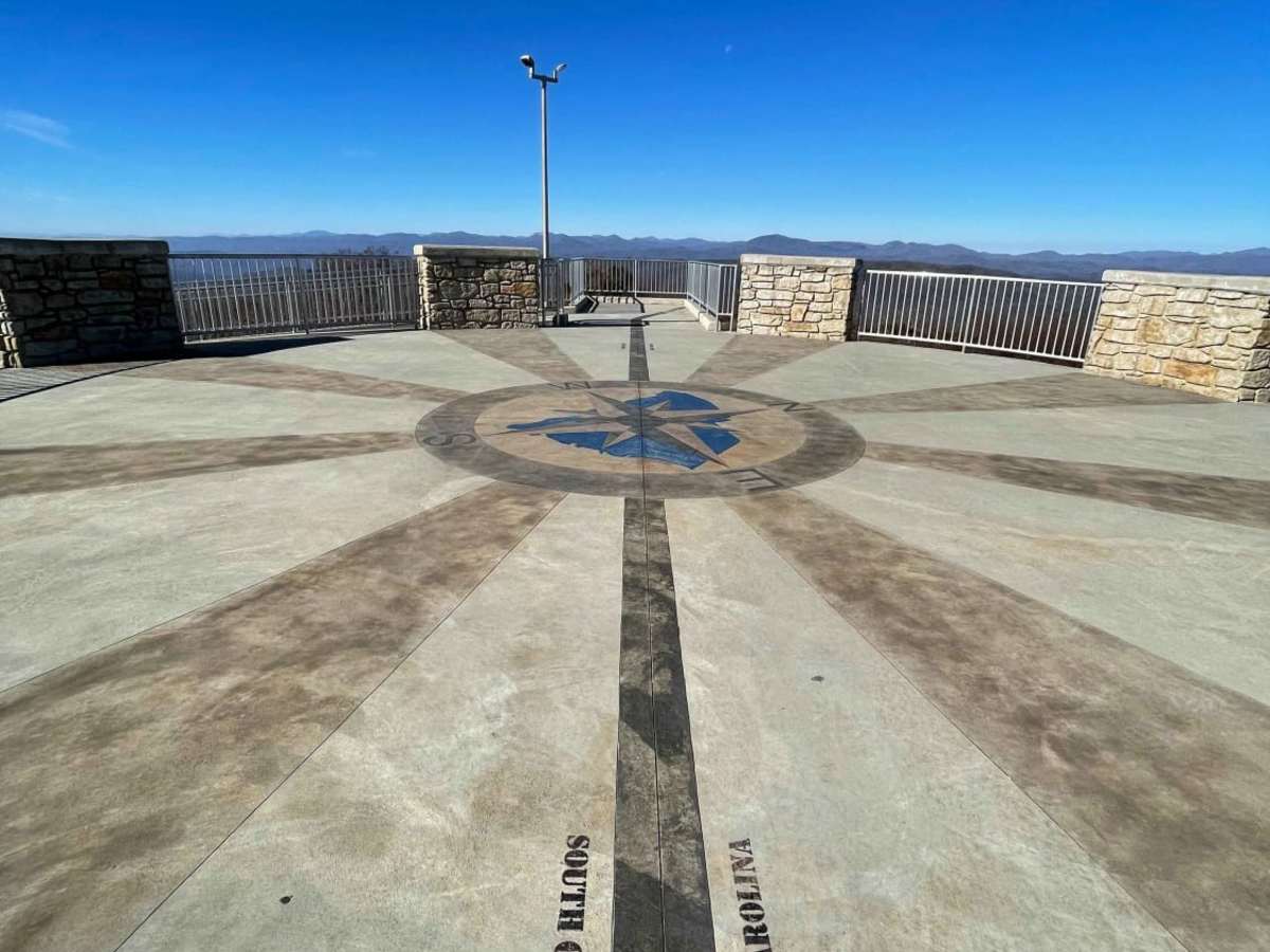
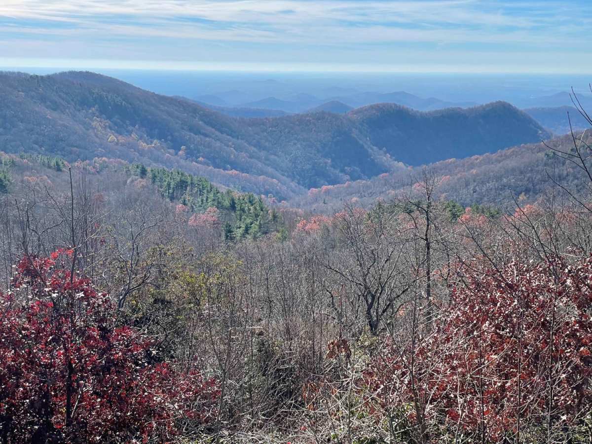
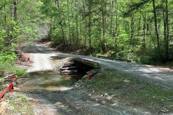
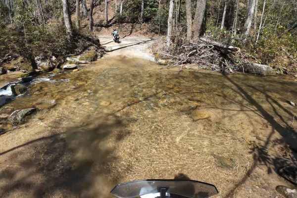
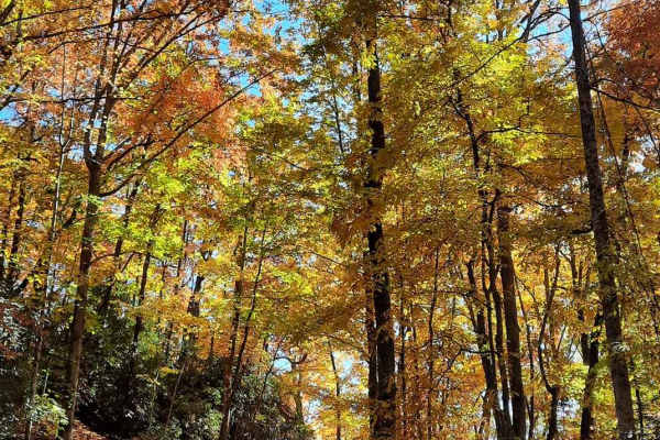
Because this route is primarily paved with only minor sections of gravel or dirt, it holds a technical rating of 1, requiring no specialized recovery gear or high-clearance modifications. It serves as a scenic connection point to the broader 1,000-mile SCAR network, which itself links to prestigious long-distance overland paths like the Smokey Mountains 500, the Georgia Traverse, and the Trans-America Trail. Located just west of Table Rock State Park, the trail concludes near the observation tower at the summit, where visitors can enjoy panoramic views stretching across North and South Carolina. This route can be driven year-round, though autumn is particularly spectacular as the changing foliage blankets the surrounding Blue Ridge Mountains.