Trail Overview
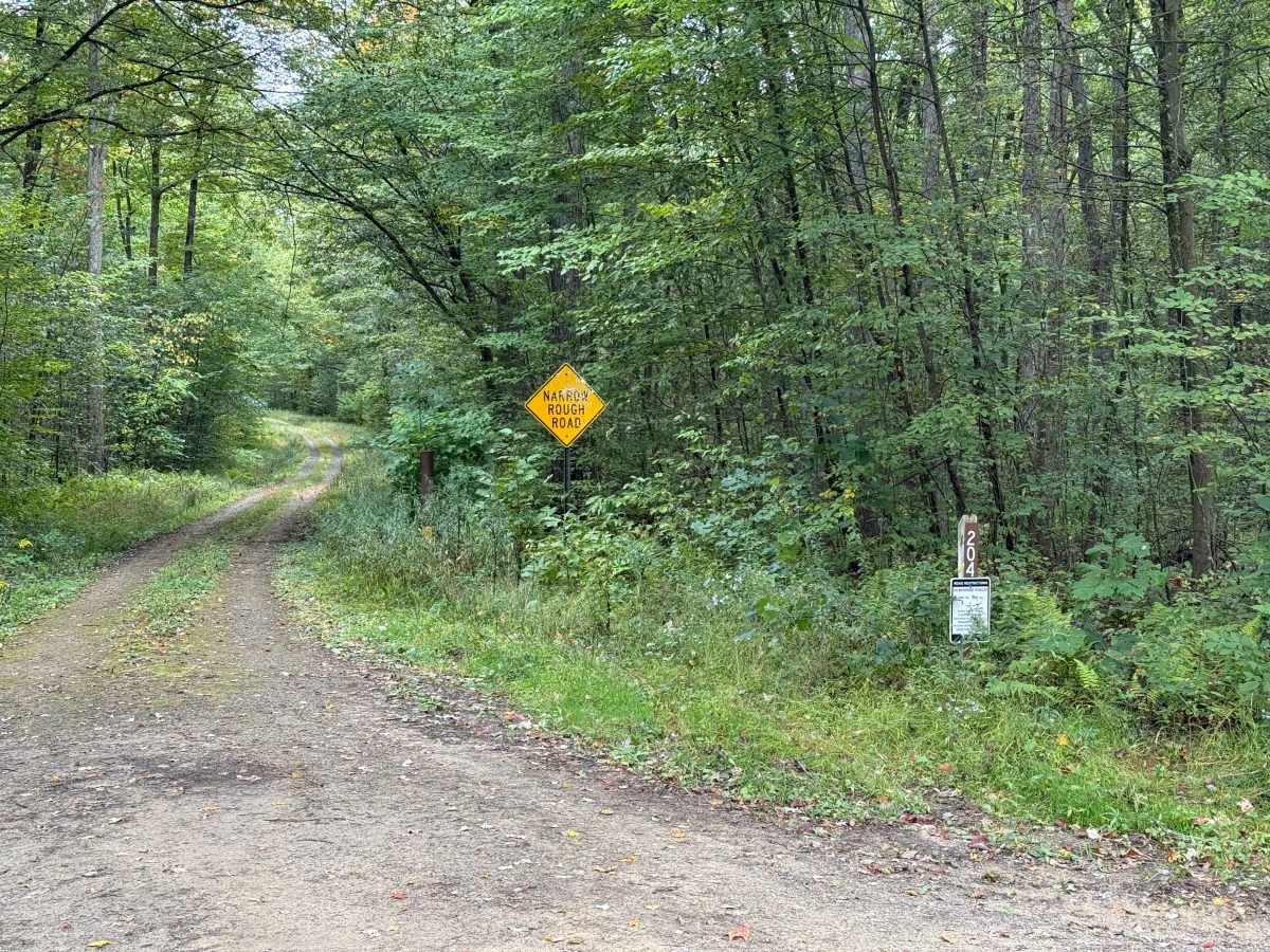
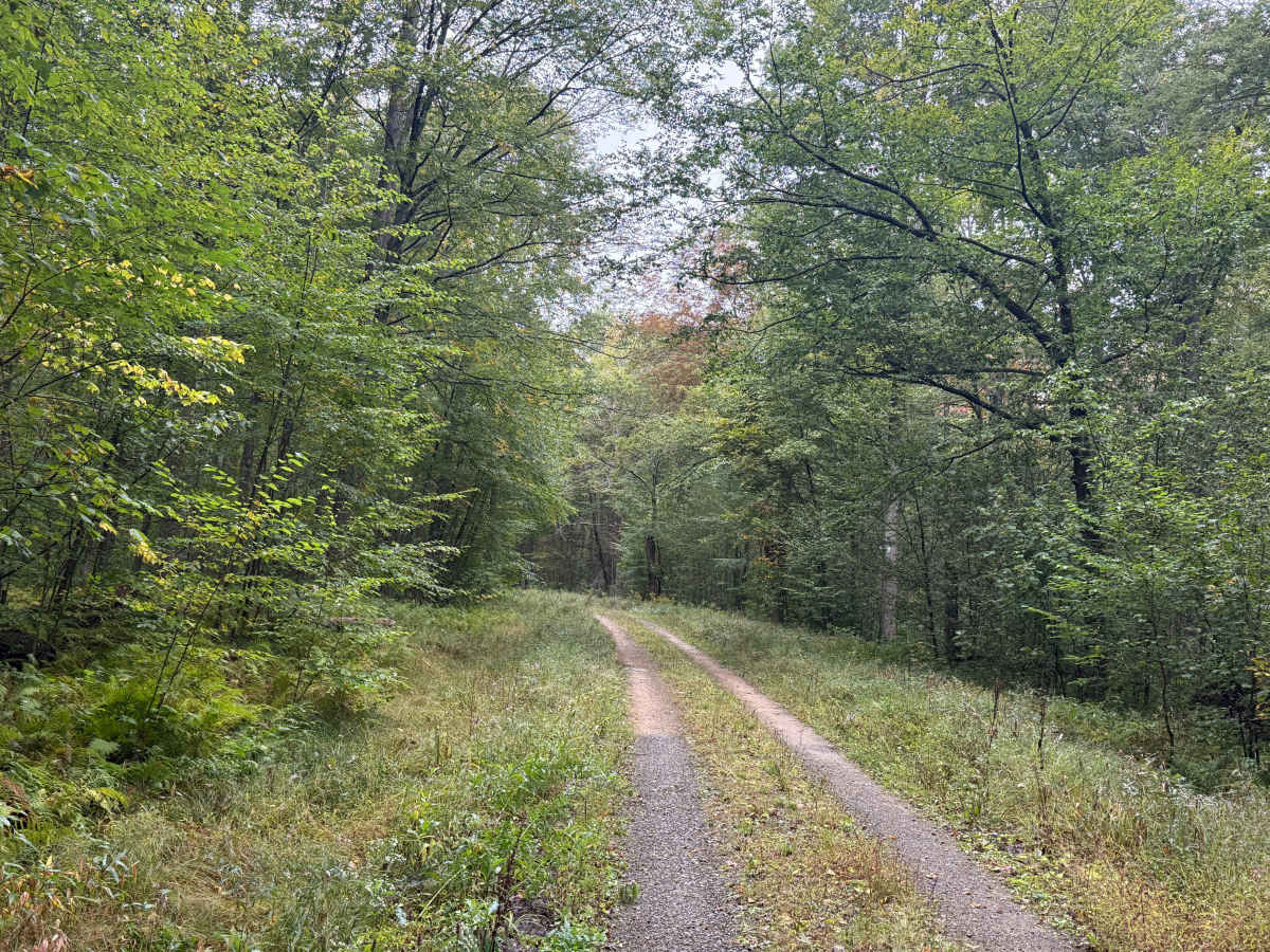
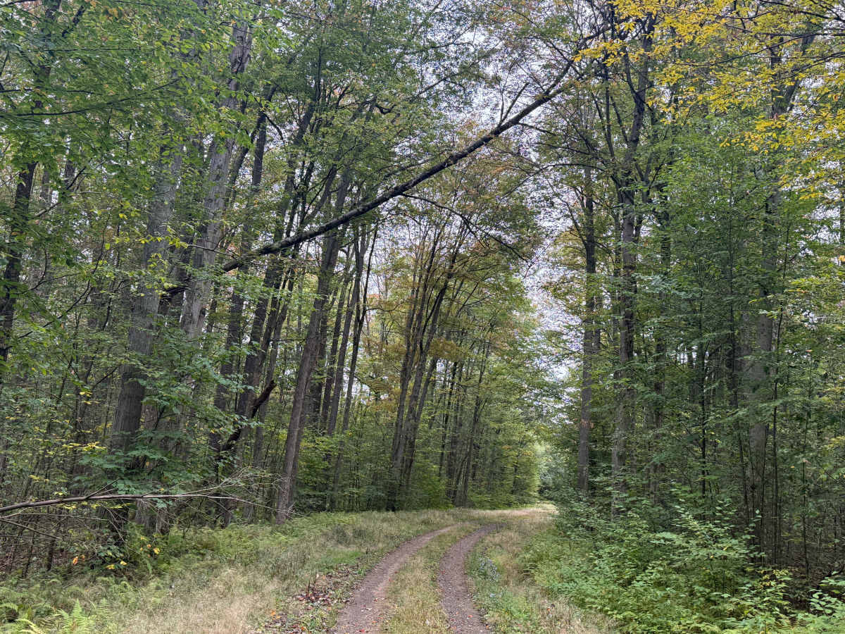
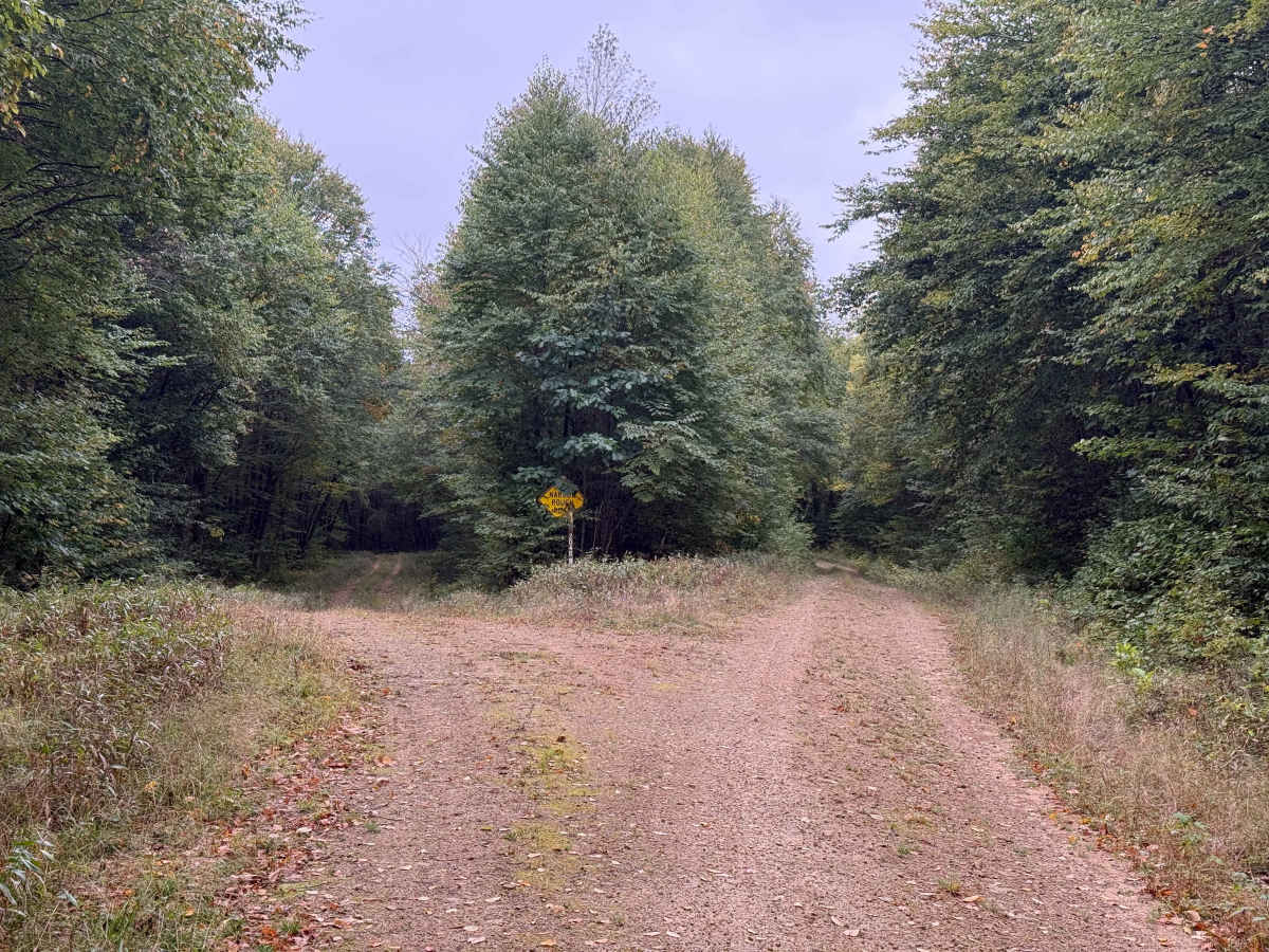
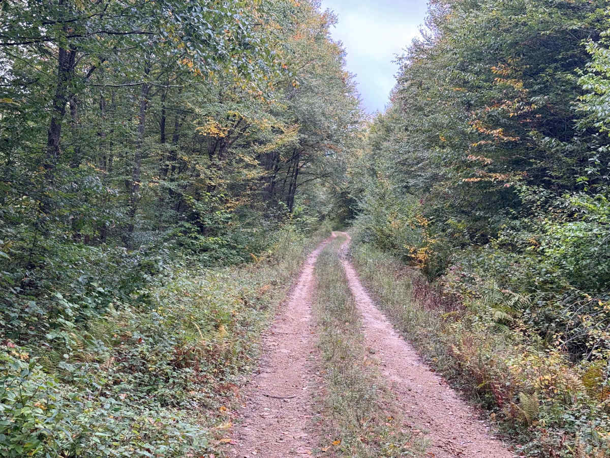
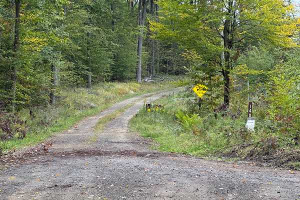
This is Rob's Knob - FS 204. The surface is dirt packed. This has a narrow, rough road at the entrance. 0.2 miles in is a spur off called FSR 204A on the right-hand side of this trail. The roadside vegitation os overgrown. 0.4 miles in, there is a widowmaker about the trail. 0.6 miles in there is another spur off to the left called 204B. It is also flagged as a narrow, rough road. 0.9 miles in, there is a small pond off to the right just off the trail. 1.1 miles in, there is a LPG tank. There is also a narrowing in the road due to a culvert pipe for a creek. 1.7 miles in, there was a small tree across the trail. I took time ot clear it. The trail at this point is overgrown and becomes narrow due to overgrowth. 2.0 miles in, we are at the end of the trail. Mile markers 1.4 to 1.9, the trail crosses private land. Since this is a right-of-way trail to access National Forest land, travel is permitted. Just stick to the trail. Accessibility: Like many forest roads, its condition can vary, and it is best to check the Allegheny National Forest Motor Vehicle Use Map (MVUM) for the latest information on its status. Conditions are also subject to weather and seasonal changes. https://www.fs.usda.gov/r09/allegheny