OHV 26 - Rock Run Recreation Area

Total Miles0.1
Technical Rating
7Difficult
Best TimeSpring, Summer, Fall
Trail TypeFull-Width Road
Accessible By
Open Trail Map

Trail Overview

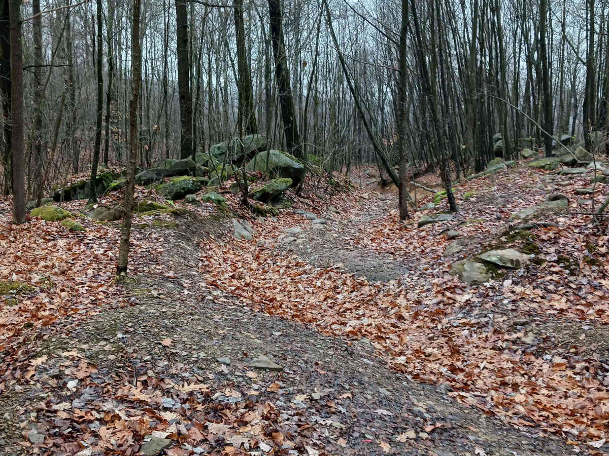
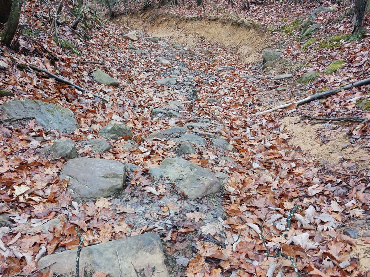
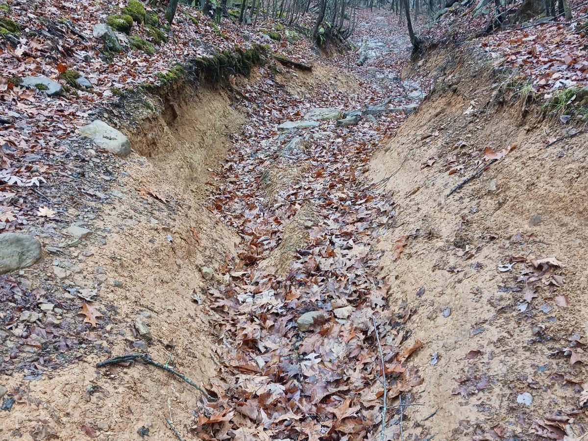
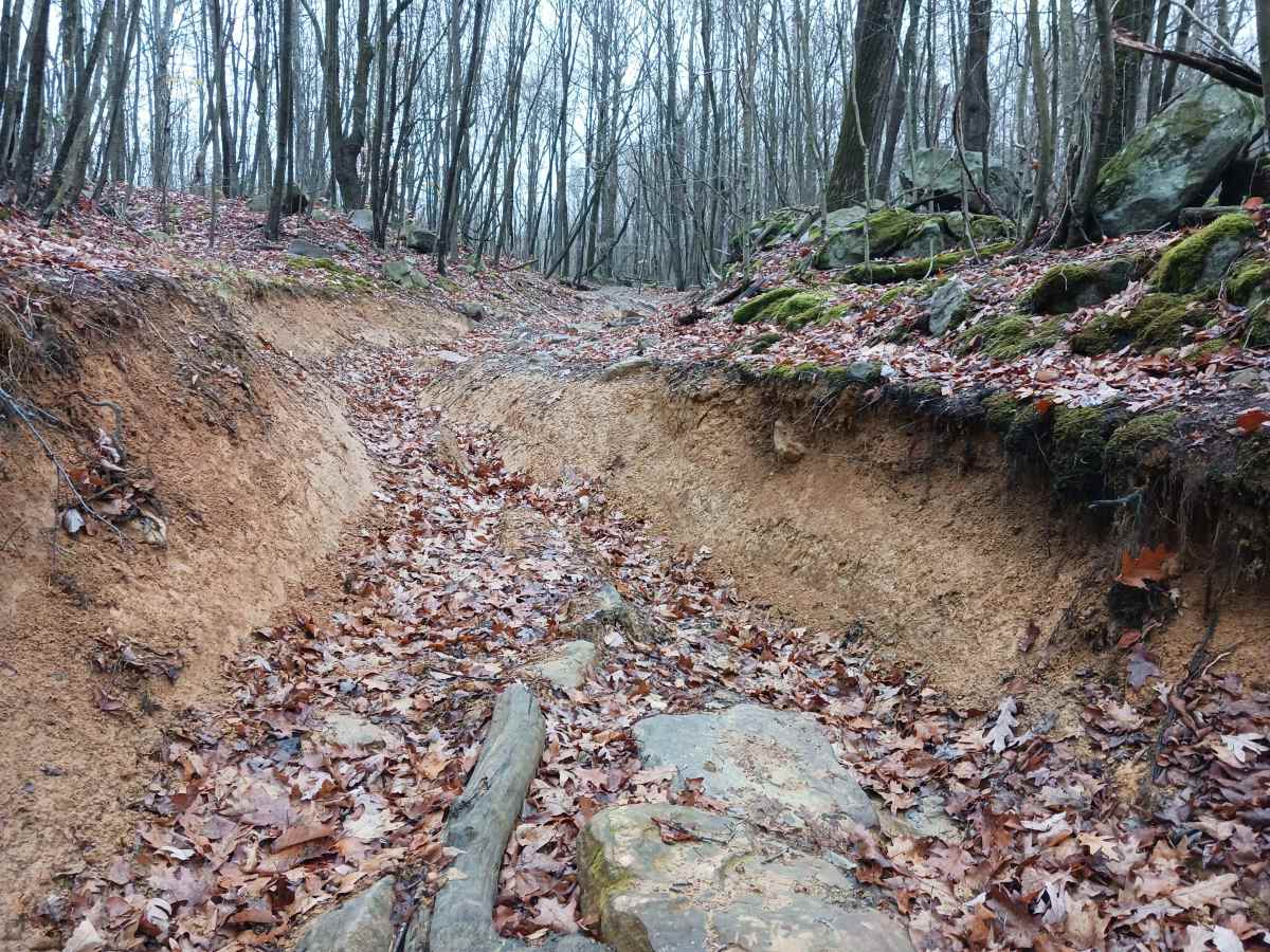
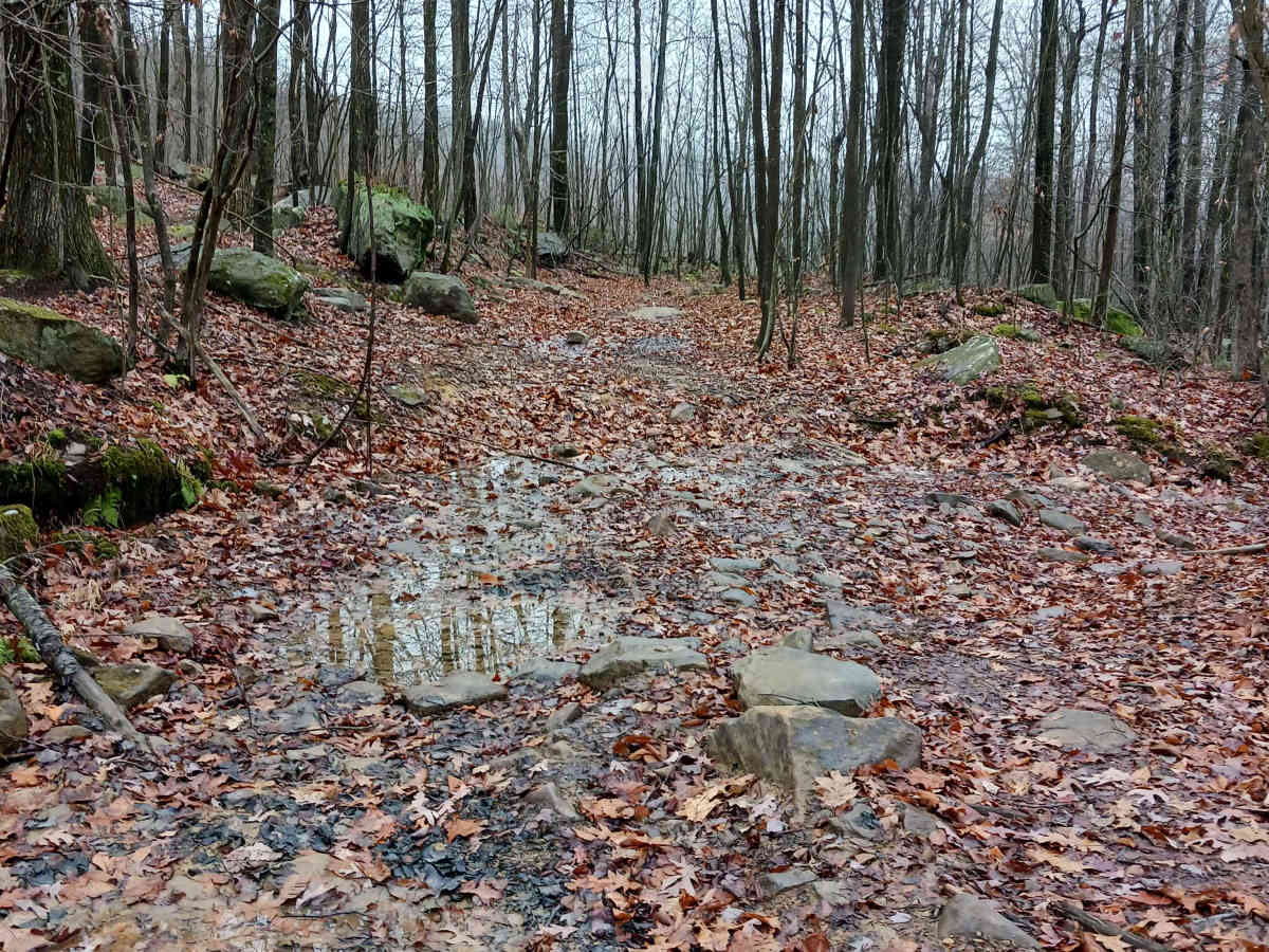
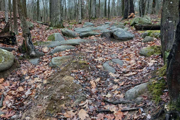
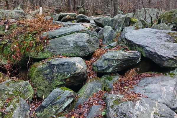
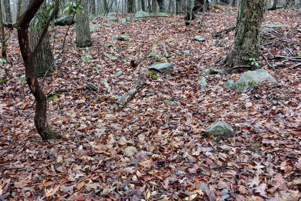
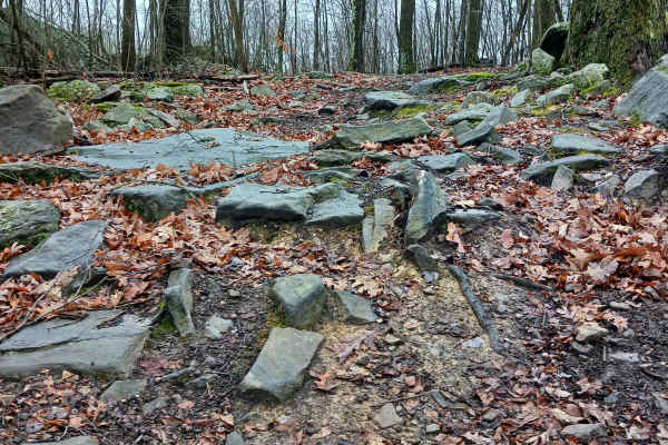
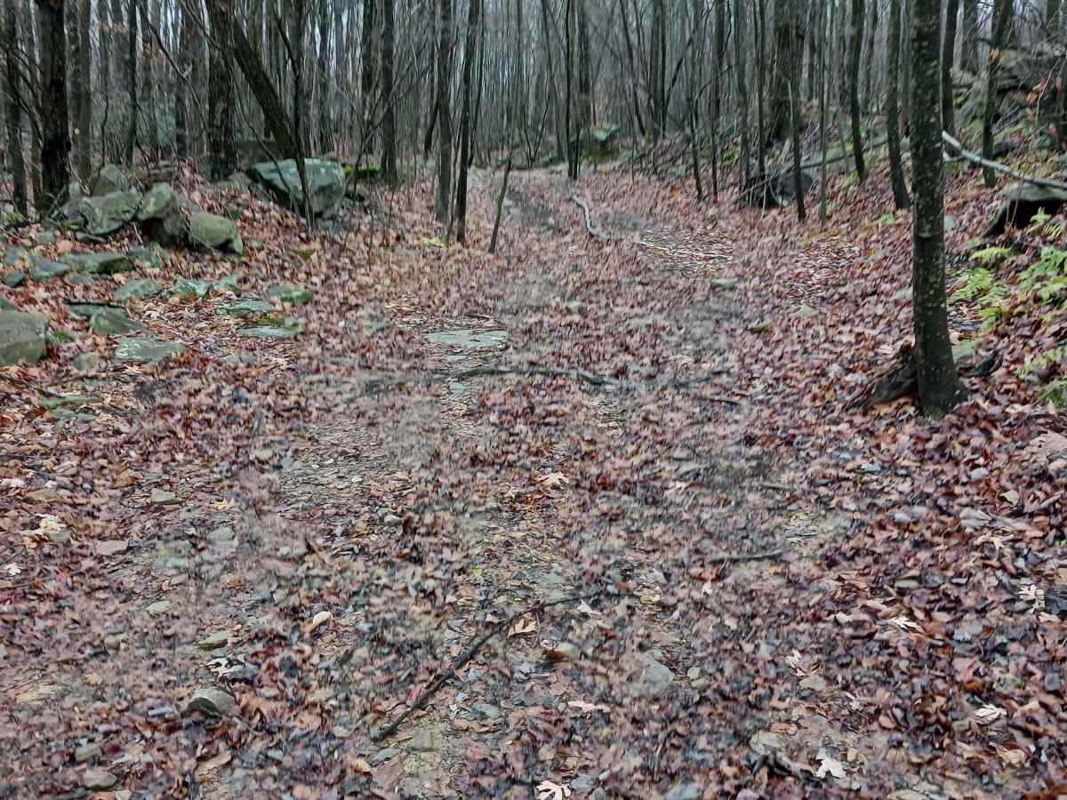
OHV 26- A trail of Rock Run Recreation Area. OHV 26 is a designated Off-Highway Vehicle Trail and should be able to be traversed with skill and patience. One end starts at Coyote Pass Trail and descends to Cherry Run. At 1/10th of a mile in length, this trail does double as a drainage channel from the surrounding area in wet weather; therefore, the trail may change with time. There is one section that is a ā€œVā€ ditch with dirt sides. Wider vehicles may need to traverse this section on an angle, with one side of the vehicle against the ditch wall. There are also some embedded rocks in locations, and the potential for loose rocks, mud, and erosion. It is one vehicle wide for the entirety and is open to any off-highway vehicles. This is a two-way trail and offers a different experience running it in both directions. Trail driven and documented in November 2025.

Photos of OHV 26 - Rock Run Recreation Area

Difficulty

This is an uneven trail with loose rocks, potential holes, washes, mud, and changing conditions. There are various obstacles.

Technical Rating

7

OHV 26 - Rock Run Recreation Area Trail can be accessed by the following ride types:

  • High Clearance
  • Full Width

OHV 26 - Rock Run Recreation Area Map

The onX Offroad Difference

onX Offroad combines trail photos, descriptions, difficulty ratings, width restrictions, seasonality, and more in a user-friendly interface. Available on all devices, with offline access and full compatibility with CarPlay and Android Auto. Discover what you're missing today!

Open Trail Map