Trail Overview
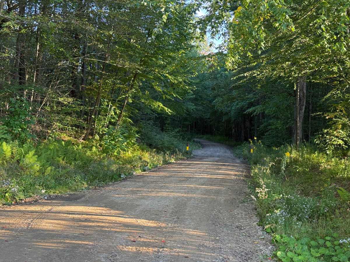
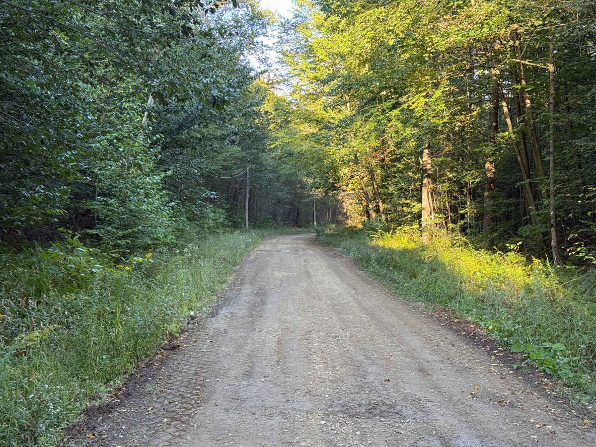
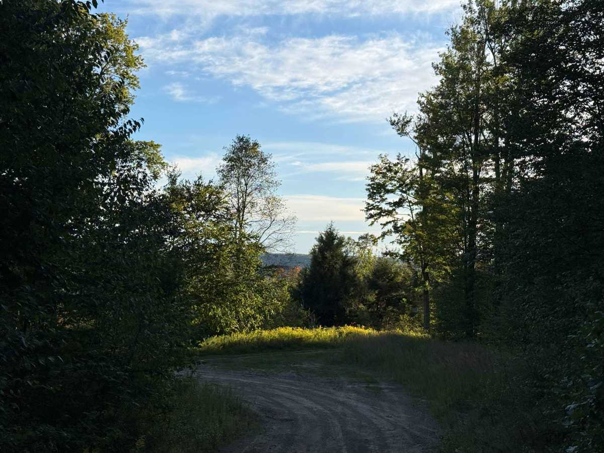
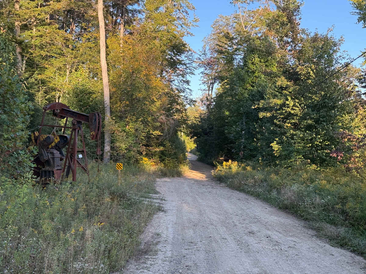
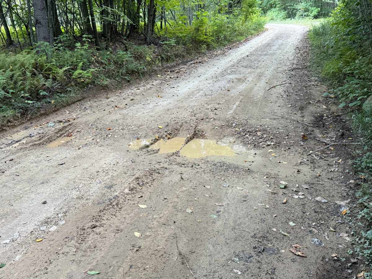
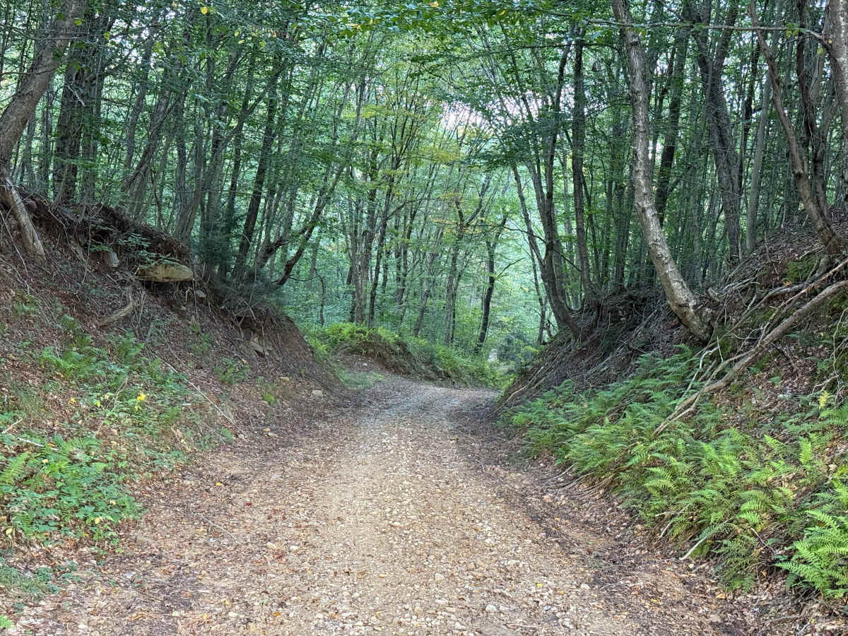
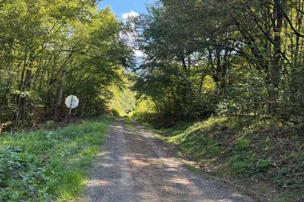
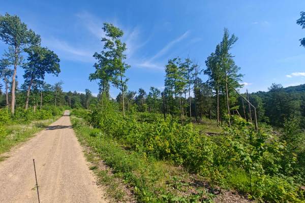
This is Crary Run - FS 85003. The road surface is dirt and gravel, and some potholes are starting to form. On the left, there are some power lines. Some of the lines are rather close to the ground, so you just want to make sure you steer clear of them. This road also has some signage on it. Which makes me believe this is a dual-use road. This road is really nice to travel on. It’s kind of got some windiness to it. 0.8 miles is a slight downhill with a little bit of rain runoff and rocky ruts. 1.0 mile in, the surface does start to get some rocks in it, so you want to be careful. Also, you come to a corner, and you can see a little bit of the view ahead of you. 2.0 miles in, there’s a pump check on the right; you just want to be careful of that. It’s right on the side of the road. 1.4 miles, you want to go to the left. At this point the surface starts to get a little crude is a lot more rocks and waving to the surface the road. At 1.8 miles in, you come out into a right of way onto the powerlines. It does allow for public access, but there’s no camping allowed. 2.0 miles in, the surface does get pretty rough and rocky, so you want to slow right down to probably 3 to 4 miles an hour. 2.1 miles in, we are going left back into the forest. 2.3 miles in, there is a fairly significant dip in the road. 2.6 miles in, we are taking a sharp hairpin turn to the right. 2.8 miles in the surface the surface of the road is a bit cruder and rockier with some ruts from water runoff, It’s pretty wavy so you want to slow down here. 3.2 miles in, we’re crossing back over the power lines. The surface has large gravel in it, probably about fist-sized, so you want to slow right down. 3.3 miles in, there’s a significant climb up. It’s really steep, and at the top there’s a hairpin turn to the left. It looks like it’s all been freshly graded, so it’s pretty crude, rough, loose dirt and gravel. It is pretty nasty. You want to be in four-wheel-drive for this. 3.7 miles in, off to the left there’s a little, I’m going to describe it as like a “dirt bowl”, where you can drive down into and possibly camp. 3.8 miles in, we are hanging a left. There is a very large mud hole, so I ended there. Accessibility: Like many forest roads, its condition can vary, and it is best to check the Allegheny National Forest Motor Vehicle Use Map (MVUM) for the latest information on its status. Conditions are also subject to weather and seasonal changes. https://www.fs.usda.gov/r09/allegheny

 Offroad