Trail Overview
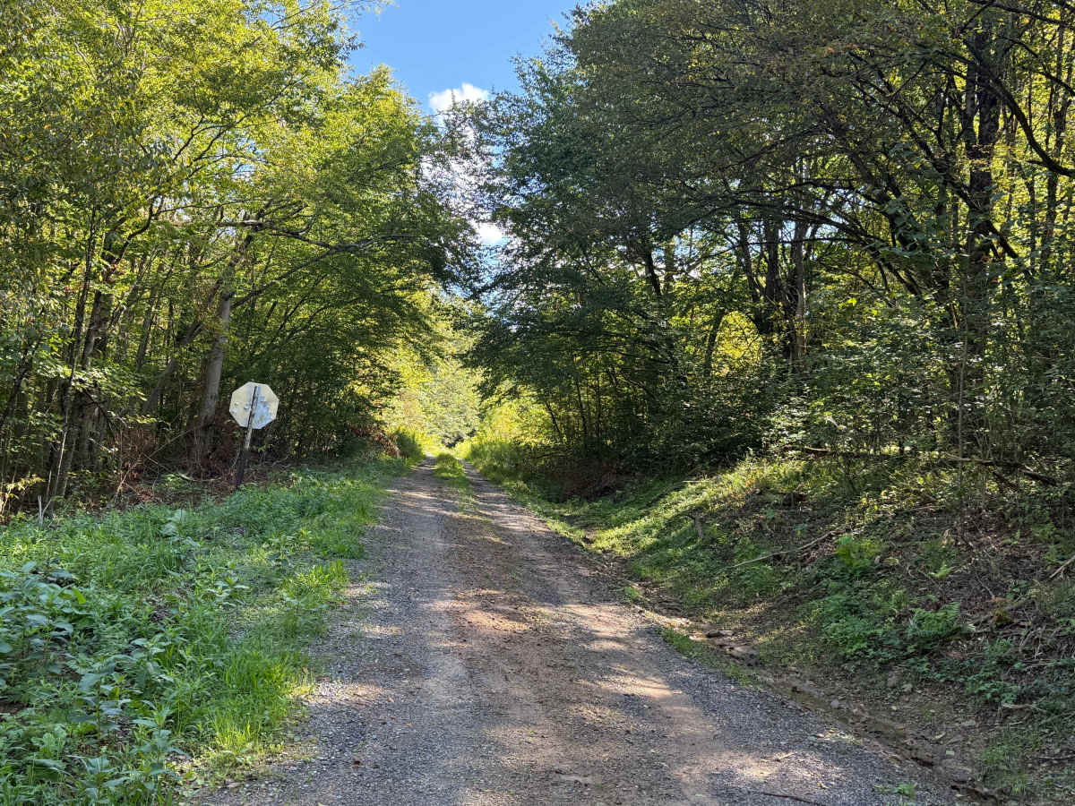
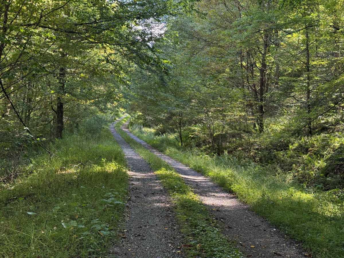
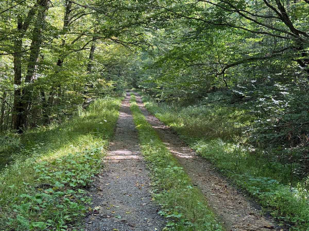
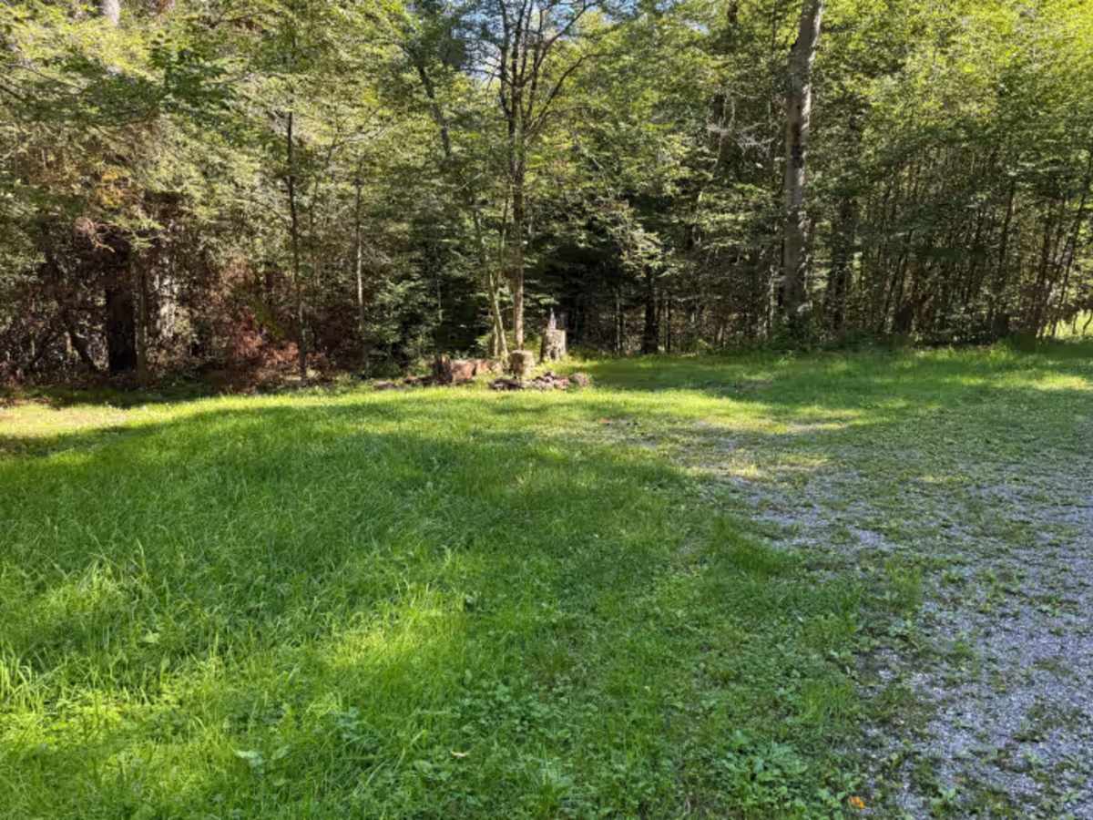
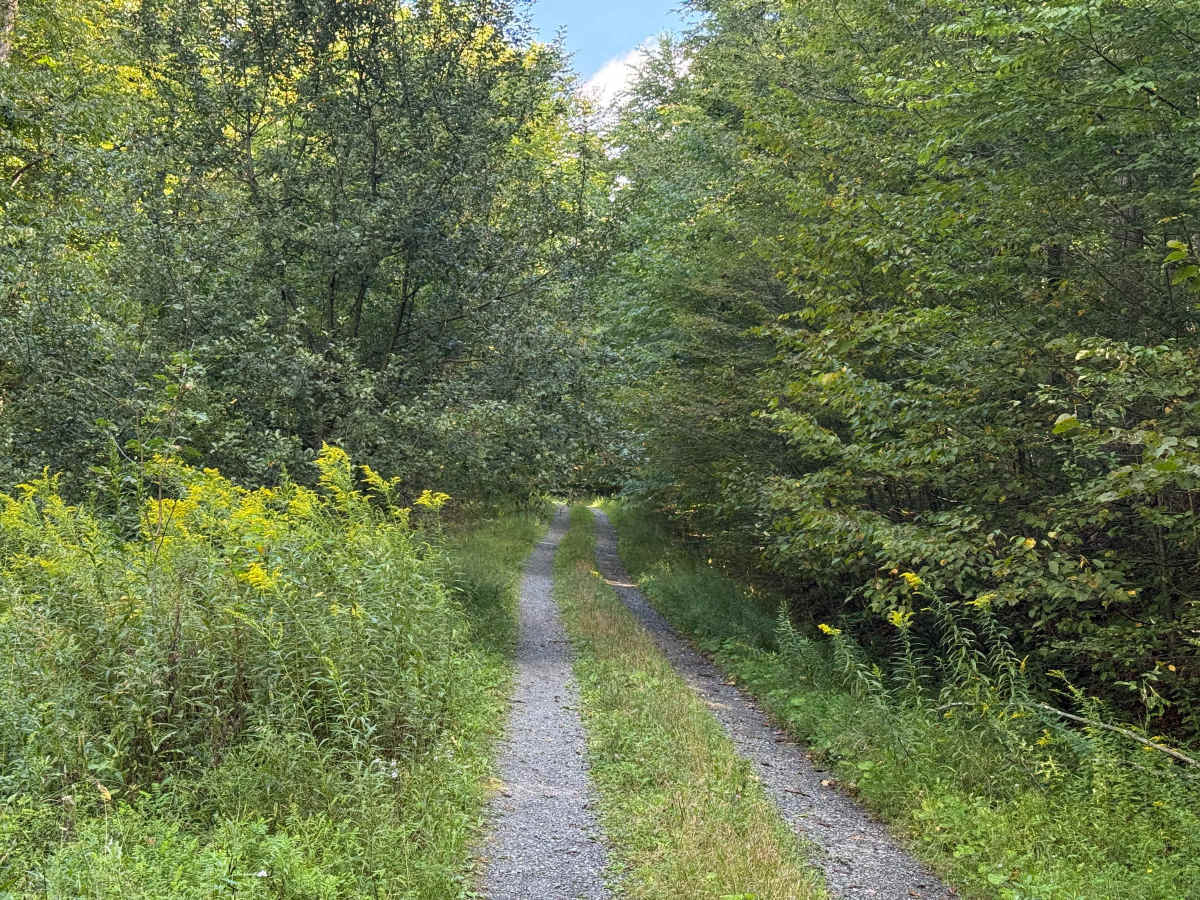
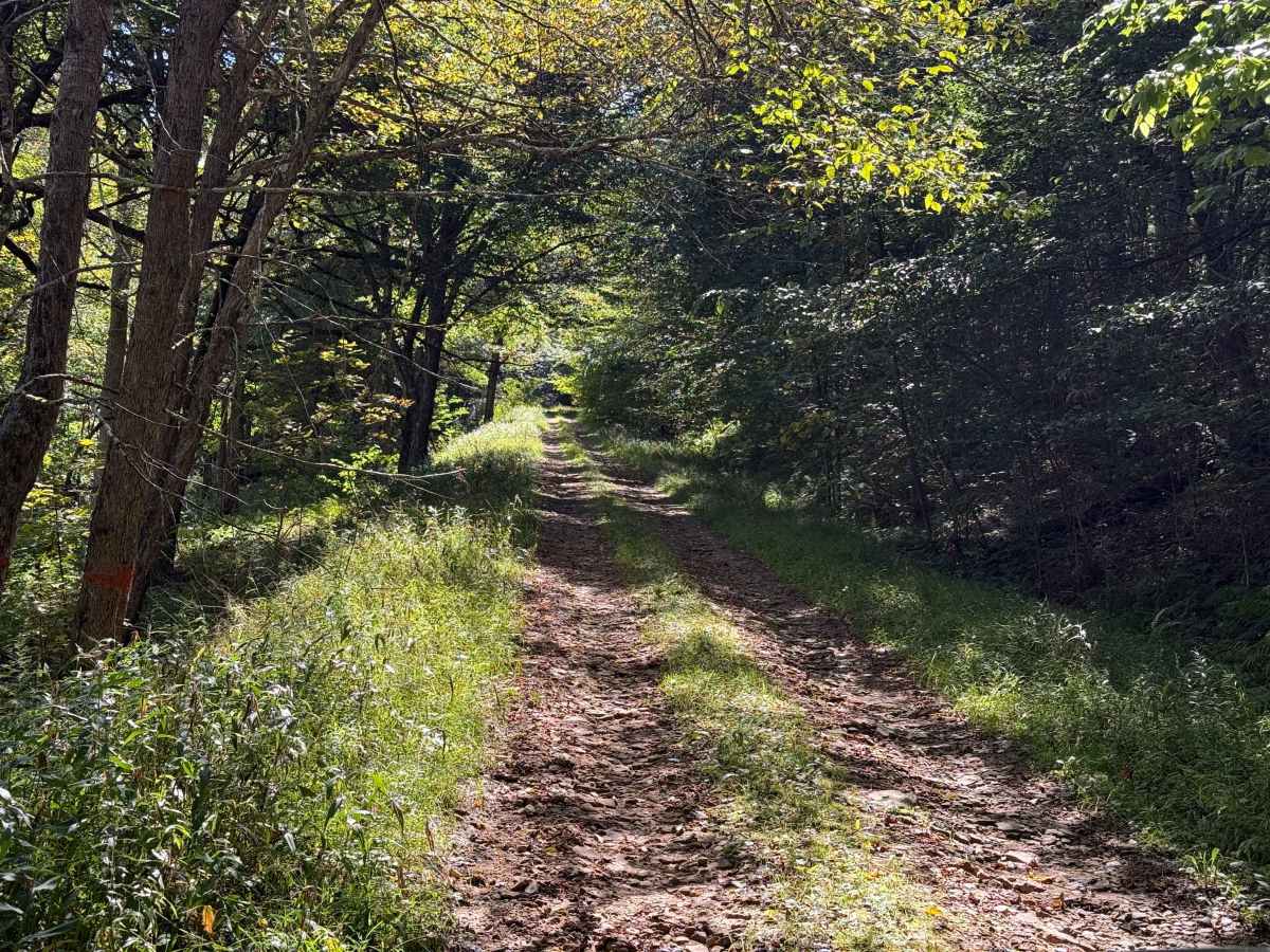
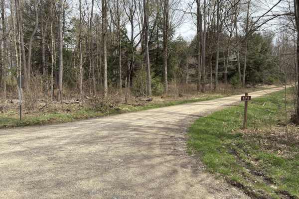
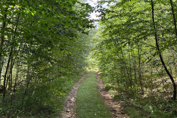
This is Bucklick A - FS 176A; we’re going down. This is an offshoot from Bucklick 176. The trail is open year-round to highway-legal vehicles. The trail starts off the slight incline. It looks pretty overgrown. The surface is a little bit rocky. This is a single-lane road and does not appear to be any place where people can pass. There are some low overhanging branches from the trees on the sides of the trail. There’s some minor rutting from rain runoff, which makes it a little bit rocky too. About .7 miles in, there’s a campsite on the left-hand side. Just past the camp spot on the on the right hand side, there’s a small waterfall runoff off the hill. A mile in is a small mud hole. Just after that, the surface of the road turns to ruts again from the rain off, and it’s pretty gravelly, so you wanna take it a little bit slow. 1.3 miles in, the road heads on an uphill incline and is pretty rocky. 1.6 miles in, there are a few pretty deep mud puddles with water in them, so you just wanna slow way down. 1.7 miles in, the road bears off to the left, and there are some pretty significant ruts from water runoff from the rain, so you can either keep to the right or just take it slow. The trail ends with an overgrown patch to turn around. Accessibility: Like many forest roads, its condition can vary, and it is best to check the Allegheny National Forest Motor Vehicle Use Map (MVUM) for the latest information on its status. Conditions are also subject to weather and seasonal changes. https://www.fs.usda.gov/r09/allegheny

 Offroad