Corporation Dam Trail

Total Miles 0.8
Technical Rating
3 Easy
Best Time Summer, Fall
Trail Type Full-Width Road
Accessible By
Open Trail Map

Trail Overview

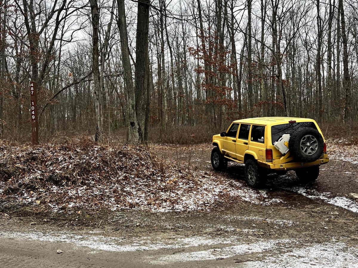
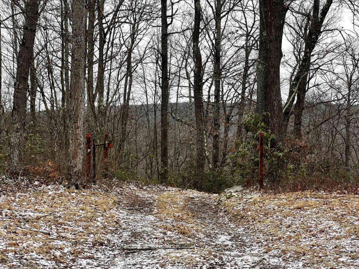
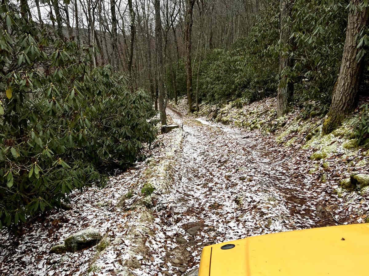
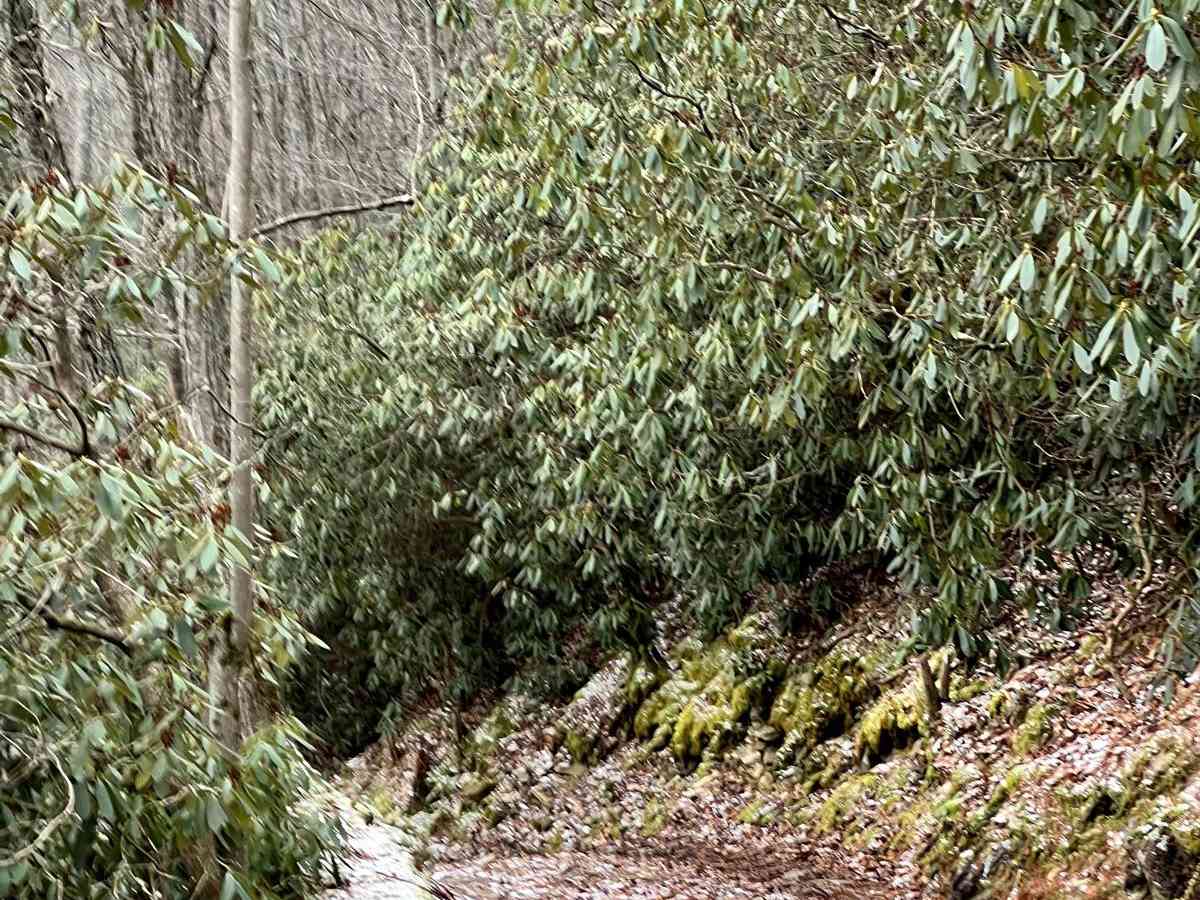
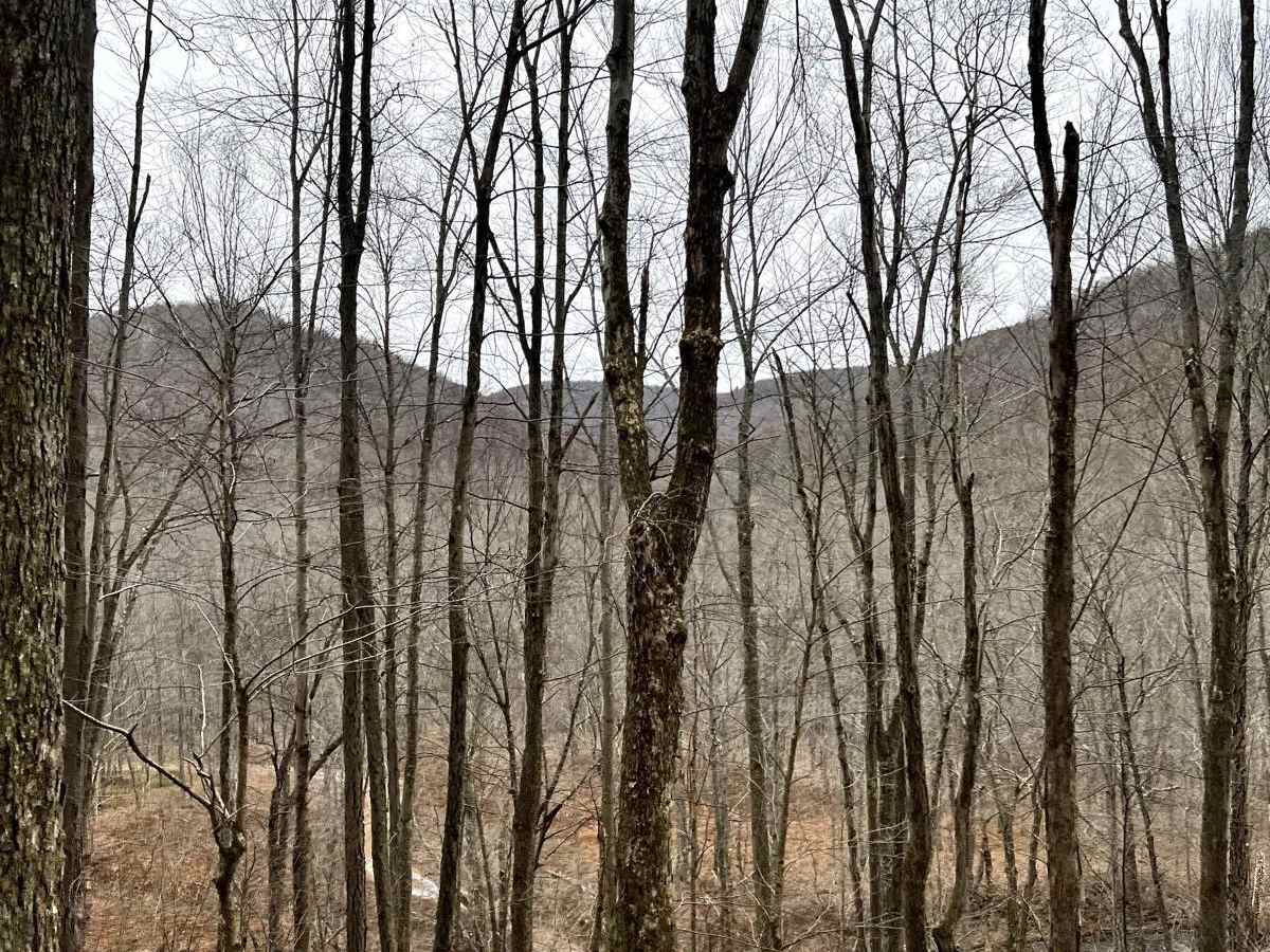
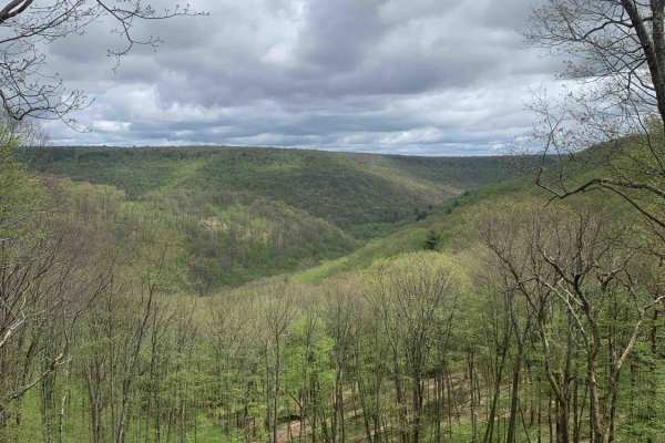
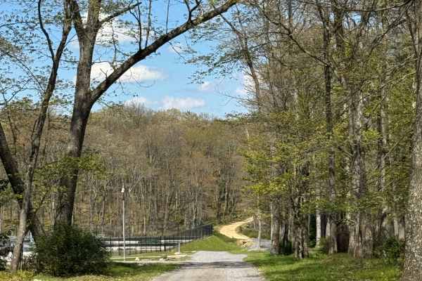
This is a beautiful trail cut into the side of a mountain. This trail is narrow but well-shouldered. There is a beautiful flat spot at the bottom for fishing, lunch, or a hike. The confluence of Gifford Run and Mosquito Creek is right at the bottom. Quehanna Trail goes through this area and it's a fun little spot to explore for a few hours! It is not advised to follow the trail across the creek as it only exists as access to a Boy Scout camp. Please tread lightly; camping is likely not permitted in this area even if it appears others have done so! This trail retains snow and can be very difficult to climb back up in winter.

Photos of Corporation Dam Trail

Difficulty

This trail is easy but steep. You will want good tires and 4-Low for climbing back up this trail, especially if there is any snow or mud.

History

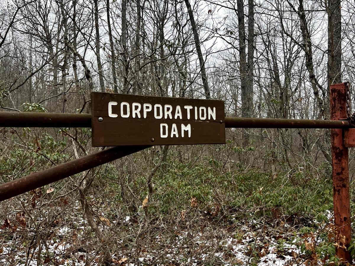
"The splash dam at the bottom, called the Corporation Dam, was built in 1870 and was one of the two largest of such dams within a 60 mile range. It took about three years for the bulk of the logging to be done in the area, and the dam then went out of use. The dam was a large all-wood structure. It was built by a combination of Lock Haven and Williamsport lumbermen, joining their money and warrant holdings, thus accounting for the name. At the bottom walk over to the right and look across to the opposite side. The dam was built at the junction of three streams: Mosquito Creek, Gifford Run, and Twelvemile Run. Now turn and look upstream. You will note the relatively high silt banks that the streams have cut through. Apparently the water level was that high in floods, and dumped its silt behind the dam when that still existed." - Excerpt from Ralph Seeley in the KTA newsletter, August 2009

Technical Rating

3

Status Reports

Add Status Report
Walter Geer
Apr 10, 2026
Open
Don't get scared on the lower section to the creek 😉
Ron Karper
Sep 06, 2025
Open
It’s very narrow with tight spots between rocks and trees. I went down when it was raining and slid a few times, roll and pitch as much as 20 degrees. Going up was actually easy. At the bottom is a campsite and access to the creek, which wasn’t deeper than a foot in most places from what I could see.
Travis Strang
Jun 28, 2025
Open
Trail was much steeper then excepted. had to drive up onto the side of road to allow motorcycles to pass. Buddies Willie's slide off trail at bottom of trail. 17 degrees at steepest point with most being 14 to 15 degrees. Bottom was a tight turnaround with 2 mud pits.
David w
Apr 03, 2025
Open
This is a really good short trail. Beginning is mostly flat and rocky and then you’re going downhill (pretty steep) still pretty rocky and tight. I drive a full size rig and while it’s tight it’s still doable without damage. When you go back up I would recommend putting in 4low and take your time and watch your trans temp. Well worth it
Dustin Yetzer
Mar 29, 2025
Open
Fun trail, there was no construction 😂
Jason Hollingsworth
Mar 17, 2025
Open
Fun trail, wish it were longer. Very steep and today was muddy after a big storm yesterday. At the bottom of the trail you can turn left and the trail continues through a fun creek crossing but then dead ends shortly after at a cabin. Today the water was high. Probably over 2ft in spots. It’s usually much lower in the summer.
Brenton McLaughlin
Oct 29, 2024
Open
Seen this as neat trail to explore and was way funner than expected, nice steep mountain road and a beautiful fishin hole! Will be visiting again
Mike Walker
Sep 13, 2024
Open
T.J. Powell
Apr 19, 2024
Open
Steep decent to the bottom. A little narrow but passable in my Jeep wrangler. Somewhat muddy at the bottom.

Corporation Dam Trail Trail can be accessed by the following ride types:

  • Full Width

Corporation Dam Trail Map

The onX Offroad Difference

onX Offroad combines trail photos, descriptions, difficulty ratings, width restrictions, seasonality, and more in a user-friendly interface. Available on all devices, with offline access and full compatibility with CarPlay and Android Auto. Discover what you're missing today!

Open Trail Map