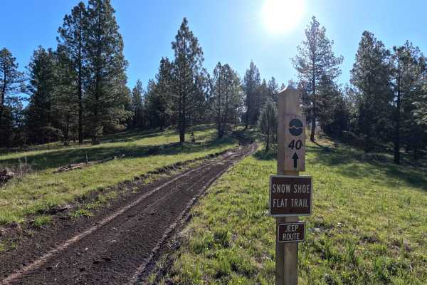
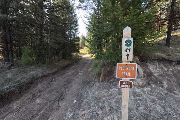
Trail Overview
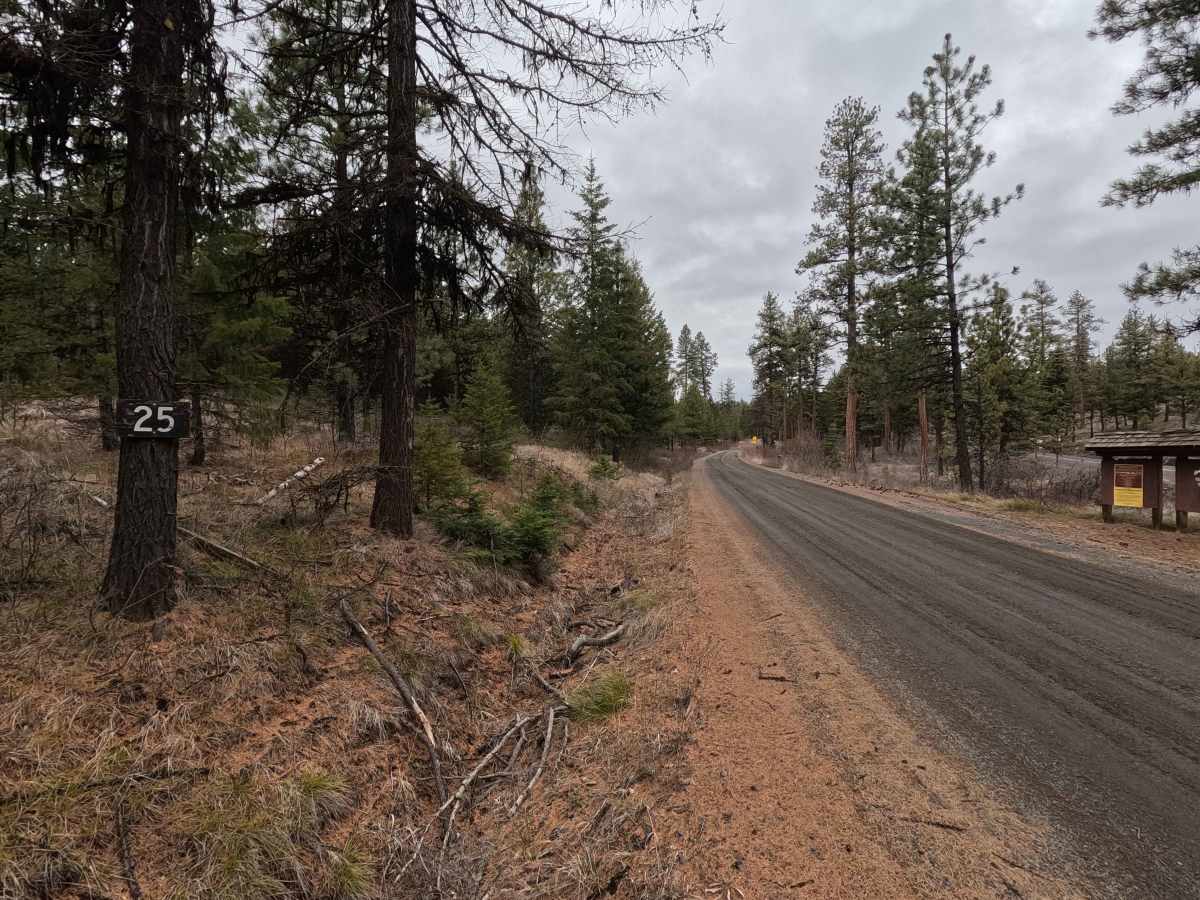
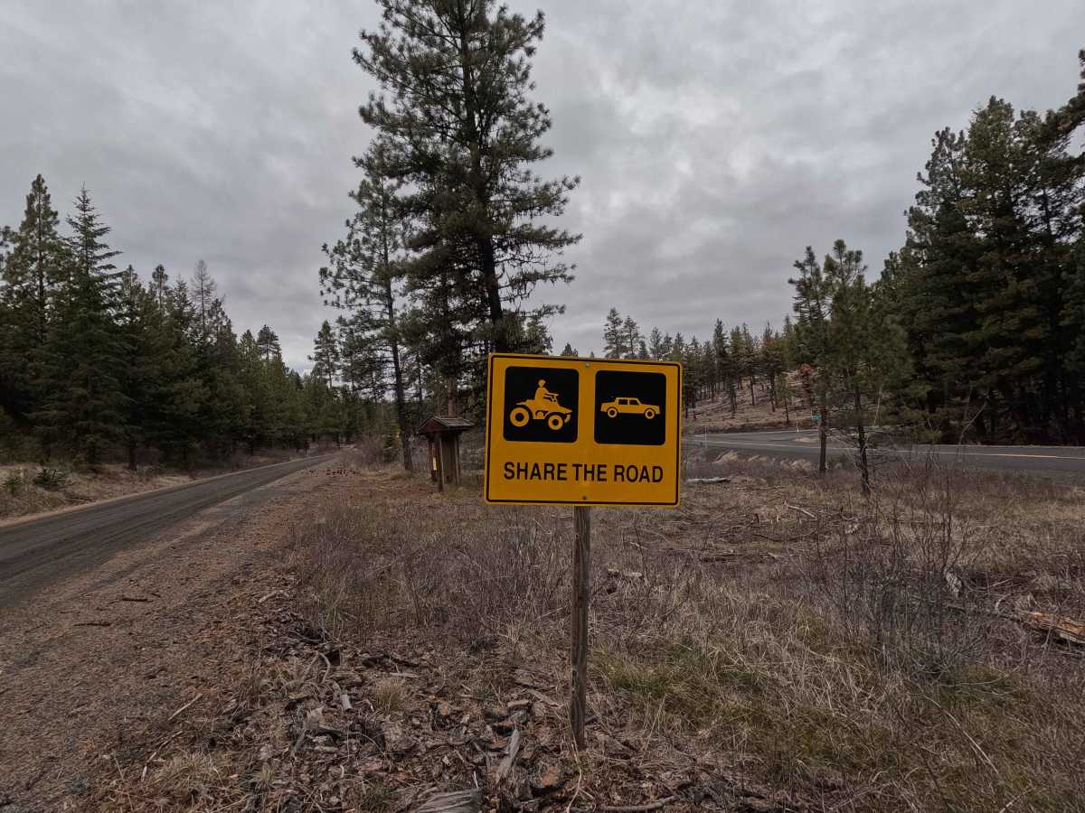
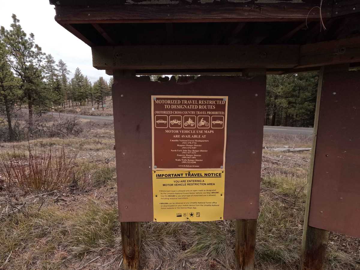
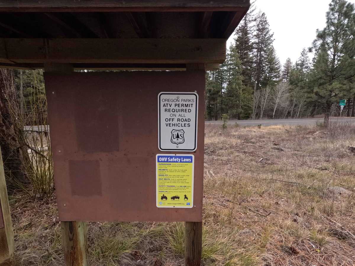
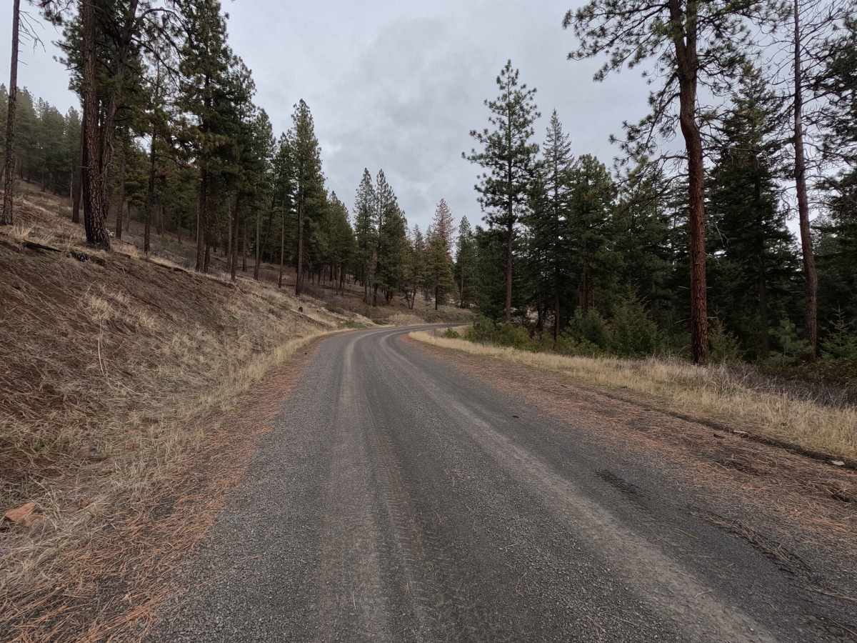
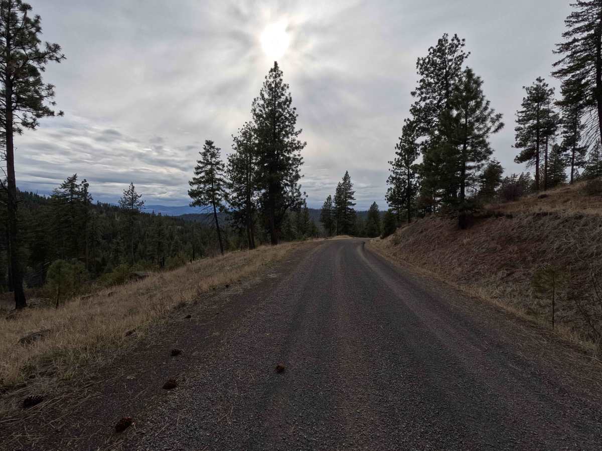
Wheeler Point is a 15.7-mile point-to-point gravel road connecting Heppner-Spray Highway with the west end of The Old Western Route. Starting from the east side, Wheeler Point descends before leveling out and continuing along the south edge of the Umatilla National Forest. This section offers stunning views looking south toward the Ochoco Mountains, along with the scenic rugged ridges this area of Oregon is known for. The route then turns north and climbs back into the Umatilla National Forest, wrapping around the 5,000-foot-high bluff with which this trail shares its name. The trail winds through a couple of large plots of private property before terminating at its intersection with The Old Western Route. Note that although there appears to be a quick route to the town of Fossil by turning left at this intersection, a locked gate is located only several hundred yards down the road. Wheeler Point is accessible year-round, and all OHVs (non-street legal) require an Oregon Parks ATV permit.
Difficulty
A well-maintained, wide gravel road for its entire length, Wheeler Point is suitable for most trailers and 2WD, low-clearance vehicles. Weather conditions such as rain and snow can affect the difficulty. A chainsaw or other equipment for clearing fallen trees is highly recommended.