Trail Overview
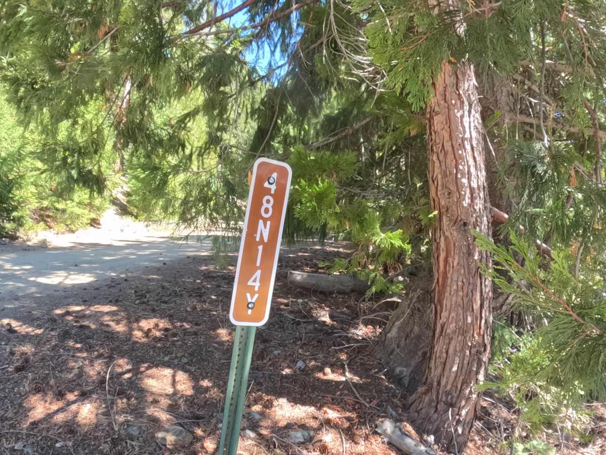
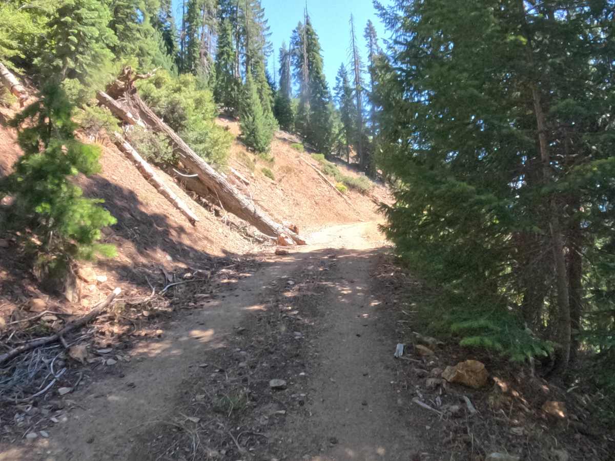
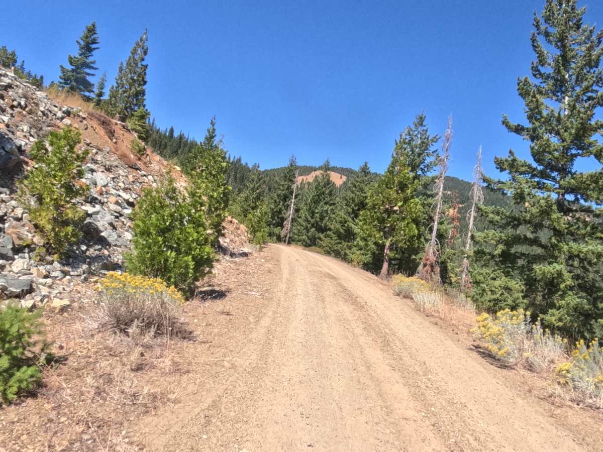
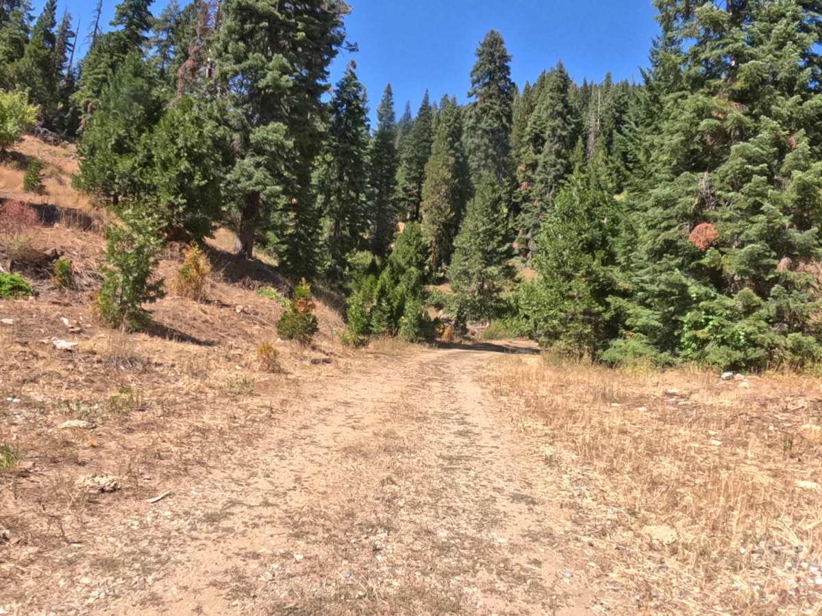
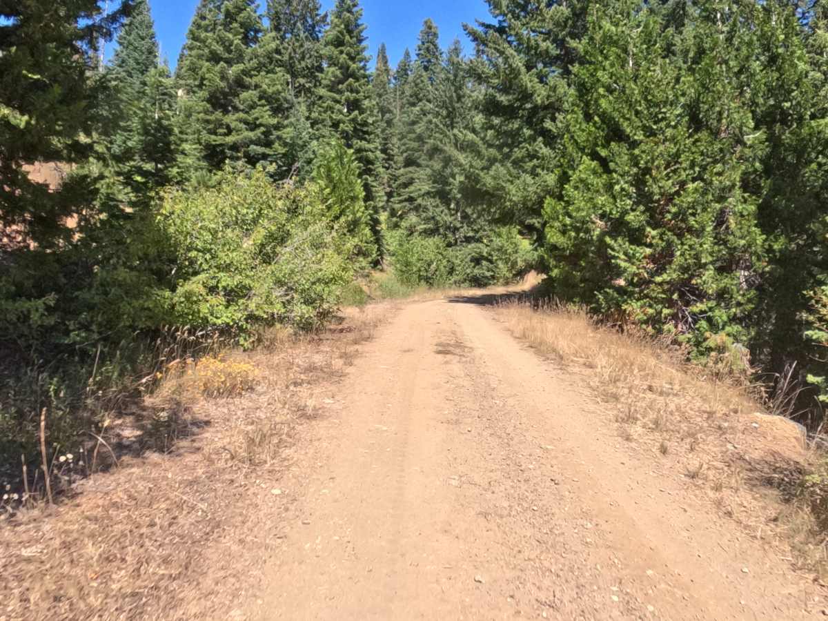
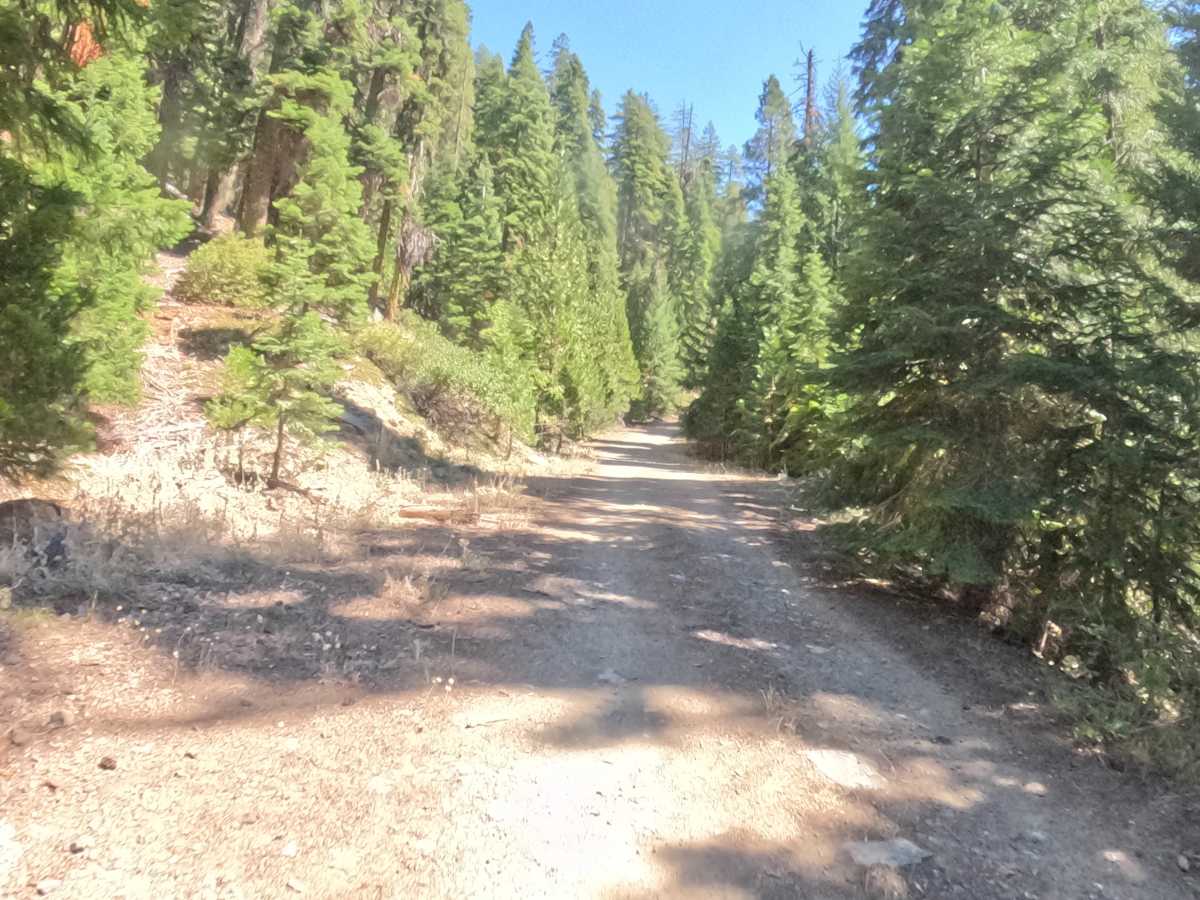
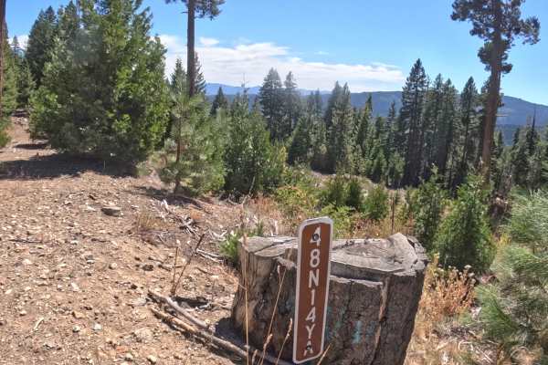
West Sterling Mountain - FS 48N14Y is a winding gravel-and-dirt road that works its way down a mountainside in the Klamath National Forest, passing through a mix of standing forest and recently logged ground that keeps the surrounding scenery changing mile to mile. The driving surface itself stays clear through most of the route, though downed trees and large rocks show up along the shoulders in several stretches, worth a glance as they pass by even though they don't sit in the travel lane. Several open stretches break free of the tree cover and open onto sweeping views of the valley below, with Mount Shasta and the surrounding mountains visible on clear days. The route is easy to follow for most of its length, and the same gravel road keeps going past the mapped section for anyone who wants to keep exploring farther into the forest. Best driven from summer through fall.
Difficulty
Rated a 2, mostly on account of the winding, undulating nature of the road rather than any single obstacle. The driving surface stays generally clear, but downed trees and large rocks sitting along the shoulders in a few spots call for a bit of extra attention, even though none of them intrude on the travel lane itself. Nothing here demands technical maneuvering, which is why the rating holds at a 2 rather than climbing higher.

 Offroad