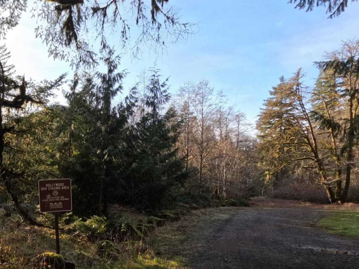
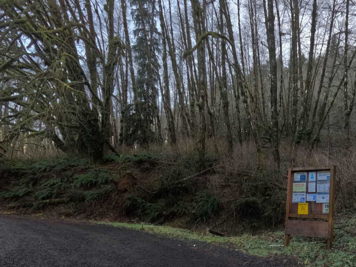
Trail Overview
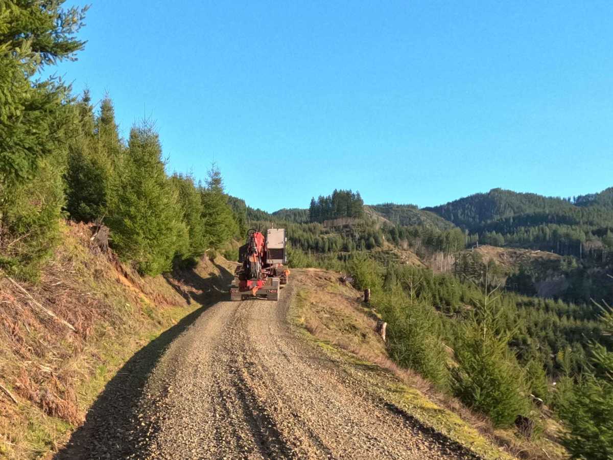
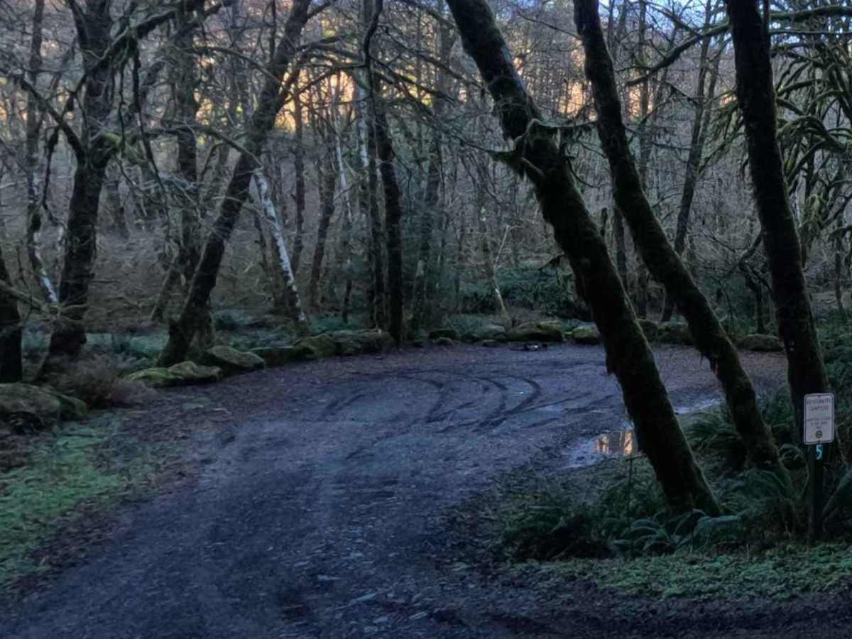
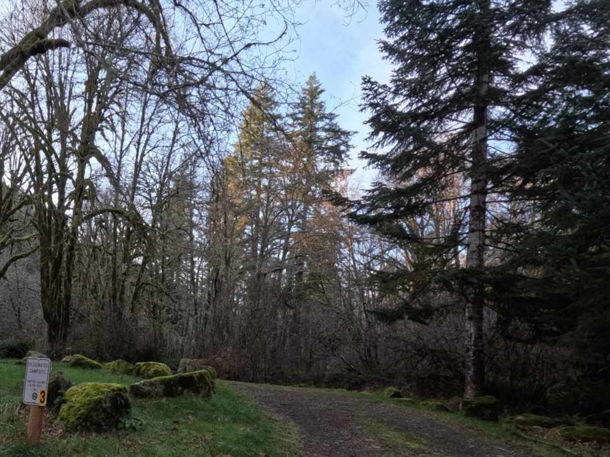
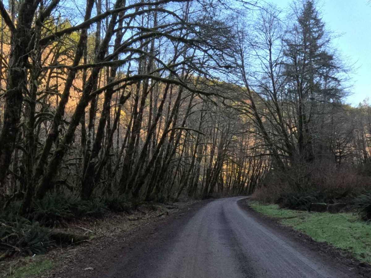
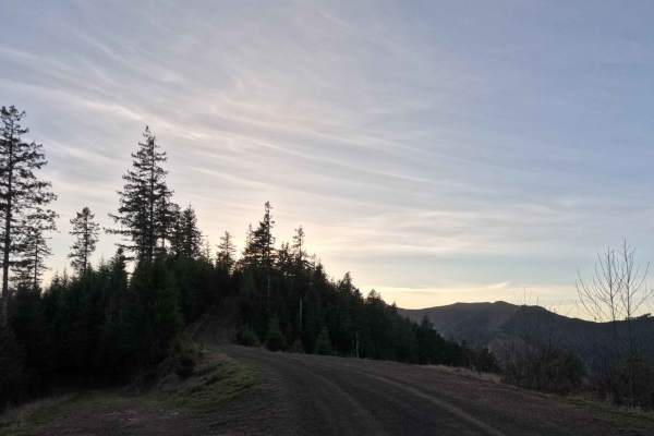
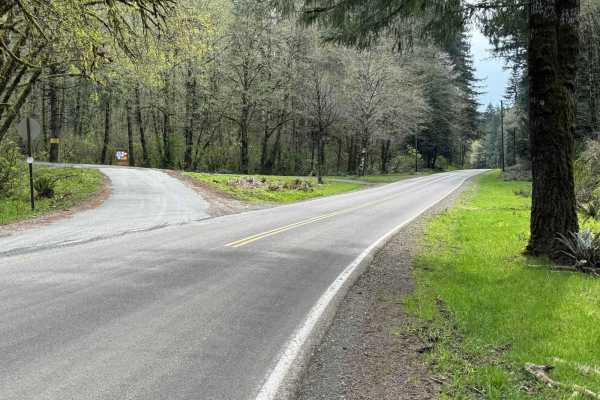
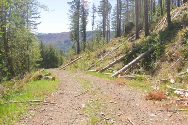
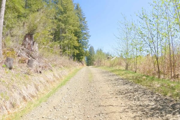
South Fork Trask Road is a beautifully smooth, highly accessible 6.5-mile gravel forest service route that serves as a vital and picturesque artery through the lush Tillamook State Forest. Tracing the winding, scenic path of the South Fork Trask River, this uncomplicated, single-lane track is deeply shaded by an enchanting canopy of towering evergreens and dense, moss-draped deciduous trees that lean gracefully over the water. As a major thoroughfare for this section of the coastal forest, the impeccably graded road is actively utilized for heavy commercial logging operations, so expect to share the path with large machinery. Simultaneously, it acts as a premier recreational corridor, providing seamless, easy access to the popular Hollywood Camp OHV Trail System staging area. Along the tranquil riverside, explorers will discover multiple established, designated campsites tucked perfectly into the timber, making this placid, low-stress drive an ideal gateway for a relaxing weekend basecamp or a high-energy off-road adventure.
Difficulty
From a technical off-road perspective, South Fork Trask Road presents absolutely zero difficulty, earning a quintessential Level 1 rating. The flawlessly graded, hard-packed gravel tread is completely free of deep ruts, steep inclines, or rocky obstacles, making it an effortless and comfortable drive for any standard 2WD passenger car or large, towing overland rig. The only required skill is strict situational awareness, because this fast-paced, single-lane road sees frequent two-way traffic from massive logging trucks and recreational vehicles hauling OHV trailers, drivers must maintain a controlled speed and be prepared to safely yield at the occasional pullouts.