Trail Overview
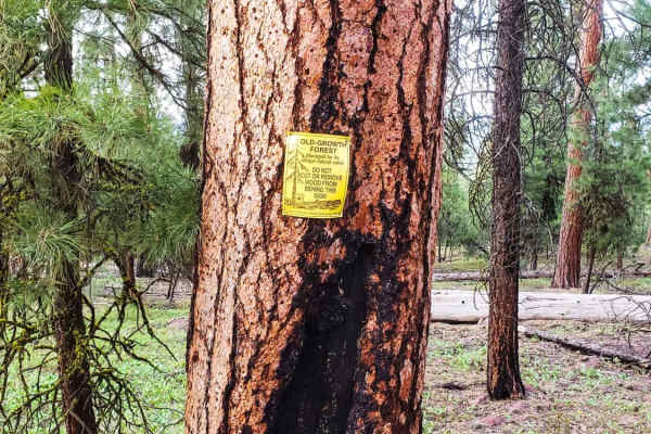
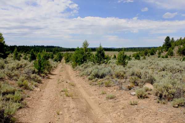
The Skull Creek to Horton Mill Connector is an ideal route for offroaders seeking a scenic, mildly challenging high-desert adventure with sweeping vistas of the Harney Basin. Stretching approximately 14.8 miles through the high desert of eastern Oregon near Burns, this trail features a maximum elevation of 5,292 feet with a gradual climb of around 1,371 feet. Traversing landscapes filled with sagebrush, mountain mahogany slopes, and ponderosa pine forests, travelers are treated to expansive views of Rimrock Canyon and Arrowhead Butte. The route holds a technical rating of 3, meaning it is mostly accessible to high-clearance four-wheel-drive vehicles, though drivers should be prepared for variable conditions.
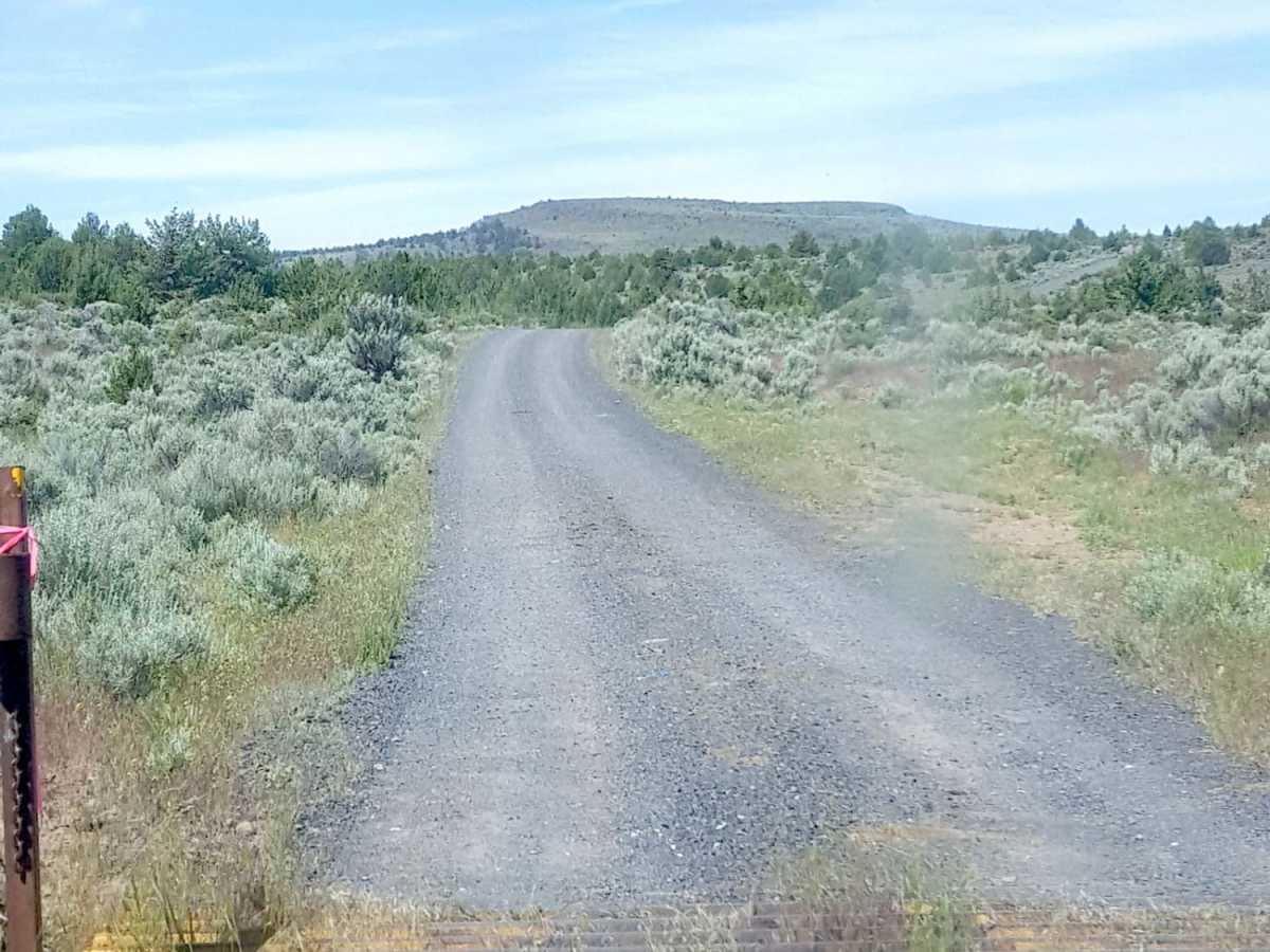
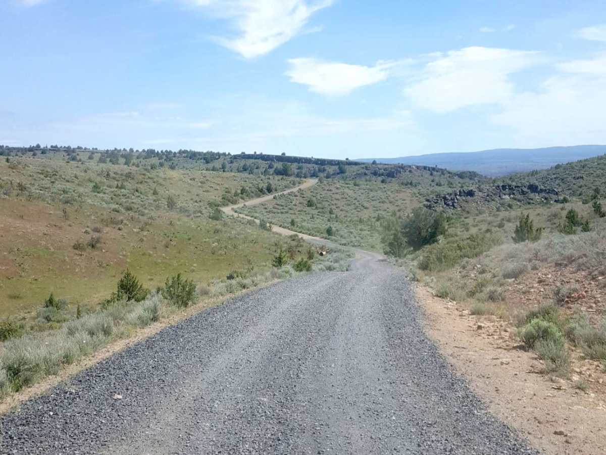
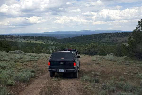
While nearly sixty percent of the route consists of easy-to-navigate gravel surfaces, the remainder transitions into deeply rutted two-track dirt paths. Several obstacles, including seasonal mud holes and small rocky ledges, can be encountered along the way, though these can generally be bypassed by cautious drivers. Given the remote nature of this high-desert environment, visitors must prepare for extreme weather shifts, characterized by hot, dry days and cold, windy nights. Historically used for open-range ranching and accessing traditional obsidian collecting sites, this trail offers both cultural depth and rugged natural beauty, making it essential to pack plenty of water and self-recovery gear before setting out.
History
This remote high-desert region has traditionally served as open-range ranching land and has been used for generations to access local obsidian collecting sites.
Access Description
This trail traverses public land that may be subject to seasonal closures due to winter weather or fire restrictions during the dry summer months. There are no fees or permits required to drive the route, but visitors should practice Leave No Trace principles and watch for active open-range grazing cattle.


 Offroad