Oregon Trail Barlow - 3530

Total Miles 6.9
Technical Rating
2 Easy
Best Time Summer, Fall
Trail Type Full-Width Road
Accessible By
Open Trail Map

Trail Overview

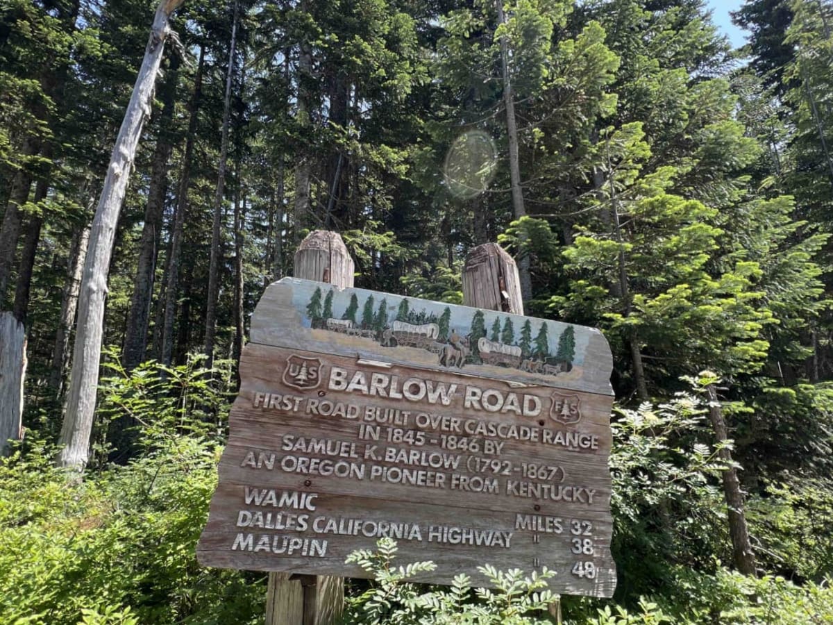
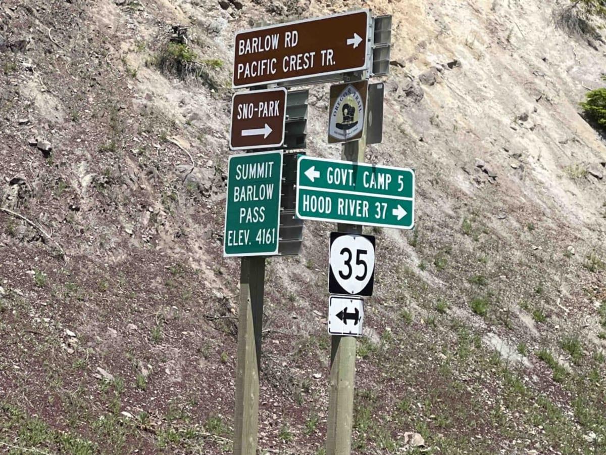
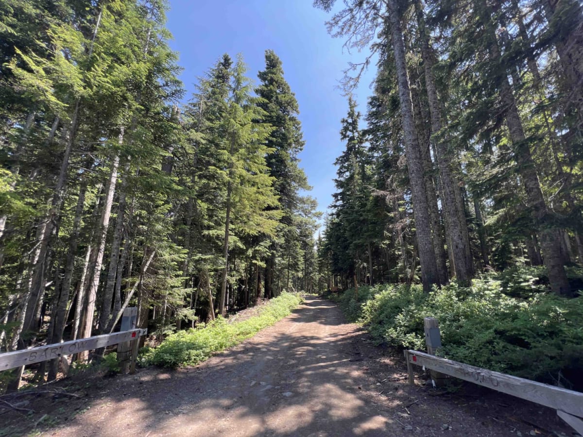
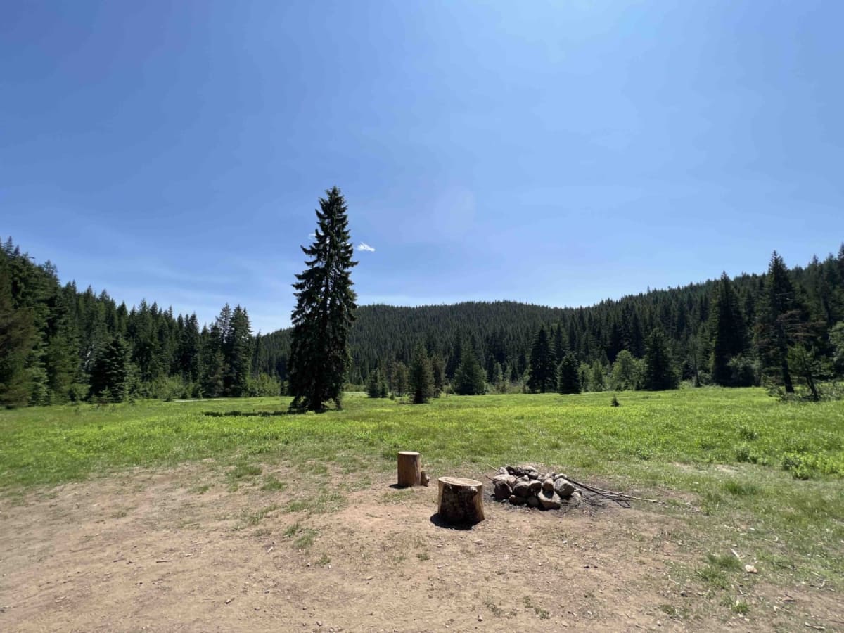
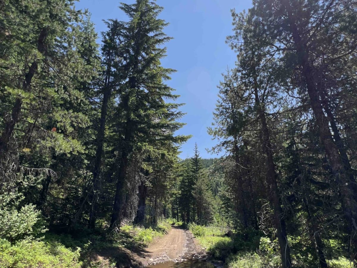
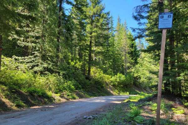
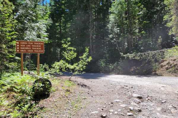
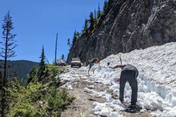
Step into the history books when you embark down this 7-mile section of the Oregon Trail Barlow Road. This late 1800's byway is a very technical, primitive, narrow, rocky road. It was not only created as an alternative to floating the wagon down the Columbia River but also to be the width and height of an 1800s-style horse-drawn carriage. OTBR is nestled in the Mount Hood National Forest and encompasses 1.1 million acres in Northwest Oregon. You can get an idea when you see some of their big camp areas that are located right off the beaten track. Big round fields with grass lines and primitive camps with Douglas Fir, Western Red Cedar, and Big Leaf Maple. From there you continue down this trail to the Devil's Half Acre trail which is a mile hike to another trail system. There is a posted campground but it's closed and the road leading to it is mud with deep ruts. Barlow Creek parallels this road which offers several areas to pull over and access the creek. Barlow Creek crosses this course and requires a shallow water crossing which could be hazardous during heavy rainfall. This road is closed for motorized vehicles during the late Fall, Winter, and early Spring due to the depth of snow. Grindstone Campground is next which has picnic tables and fire rings for camping. One of the really cool features of this trail is the Oregon Trail wooden posts that are located along this passage. The Mount Hood Recreation pass is required in this area and signs are posted. A snow park permit is required from November 1st through April 30th. Unfortunately, this road ends due to a bridge collapse which is right before the Barlow Campground.

Photos of Oregon Trail Barlow - 3530

Difficulty

This road is very technical with narrow areas to navigate between old growth fallen trees. It requires all wheel drive or 4x4 at times for steepness. Off camber areas and big rocks. This road has to be taken very slowly.

History

Created back in the late 1800's for a bypass west to avoid the major Columbia River, the Barlow Road leads you on a trip back in time to the wagon days. There are lots of artifacts in this area to find. Wagon tracks are still found in sections where motorized vehicles are no longer allowed preserving the history of this land. Here is more information on the Oregon Trail Barlow Road. https://oregontrail-barlowroad.org/

Technical Rating

2

Status Reports

Add Status Report
Matt D
Jun 20, 2026
Open
Drove from highway 35 to FR43, stock Subaru Forester Wilderness. The upper portion of the trail - between 35 and the Barlow Creek Campground - is the more challenging. Nothing super technical, just a lot of ruts, drainage cuts, potholes, rocks, branches, exposed culverts, etc. Also a half dozen or so water crossings; the road surface under the water provides good traction still, but the deepest is currently maybe 7 or 8 inches. Overall should be fine in a Forester or RAV4 or similar on this portion. The section from the campground to 43 is basically just a long flat sandy cruise that didn't seem to require high clearance or 4WD.
Russell Wilson
May 24, 2026
Open
No broken bridge that I saw, you can get all the way through. Easy slow going, if you can air down and up that makes it even better.
Bryan Young
Apr 26, 2026
Open
Cleared the trees, trail is passable. Lots of mud and fun water run off to go through. First time hitting this trail but highly recommend
Isaac Alvarado
Apr 11, 2026
Open
For starters I’m new to this, so nice lil trail, small downed trees, occasional mud and rocks but nothing that would stop the majority of vehicles. There is a large downed tree about halfway through entering from Barlow Crossing Campground.
Kyle Hana
Aug 30, 2025
Open
Road was pretty rough in some spots but very manageable. Stocked outback with all-terrains did well. Didn’t scrape or bottom out just need to pick a good line and crawl. All in all fun trail to drive.
Gonzo Fernandez
Jul 04, 2025
Open
The trail was rough but manageable, with a slow and steady pace throughout. There were quite a few downed trees, but it looks like someone had cleared them with a chainsaw—nicely done. The road is open and passable from Highway 35 through FS43. Since it was the 4th of July weekend, there were a few people around, but for the most part, it felt remote and peaceful. Plenty of solitude and tons of great camping spots along this old stretch of the Oregon Trail.
Gavin Galan
Jul 01, 2025
Open
Pretty bumpy with some very deep ruts but wasn’t an issue for us. Don’t think a Subaru could make it. Few mud holes but besides that very dry. Some campsites towards end were taken rest were empty. So many spurs to explore.
Joseph Master
Jun 10, 2025
Open
Phillip Yurov
May 21, 2025
Open
It’s an easy path as long as you have high clearance vehicle Very scenic route. Started from the south end of 26 and ended up at 35 without any problems. There were some small patches of snow near the 35 gate and a tree blocking the path, but we managed to reach the gate without any issues. However, we found the gate closed when we got there. I'm not sure when it's supposed to open, considering the seasonal closure is from December 15 to April 1. It's a bit strange but oh well
J&M Hartman
Sep 08, 2024
Open
Last bridge right before Barlow Campground has been replaced, connects all the way to FR43
A Conrad
Jul 14, 2024
Open
Tommy Furneisen
May 27, 2024
Open
still close from snow

Oregon Trail Barlow - 3530 Trail can be accessed by the following ride types:

  • Single Track
  • 50 Inch
  • 60 Inch
  • High Clearance
  • Full Width

Oregon Trail Barlow - 3530 Map

The onX Offroad Difference

onX Offroad combines trail photos, descriptions, difficulty ratings, width restrictions, seasonality, and more in a user-friendly interface. Available on all devices, with offline access and full compatibility with CarPlay and Android Auto. Discover what you're missing today!

Open Trail Map