Trail Overview
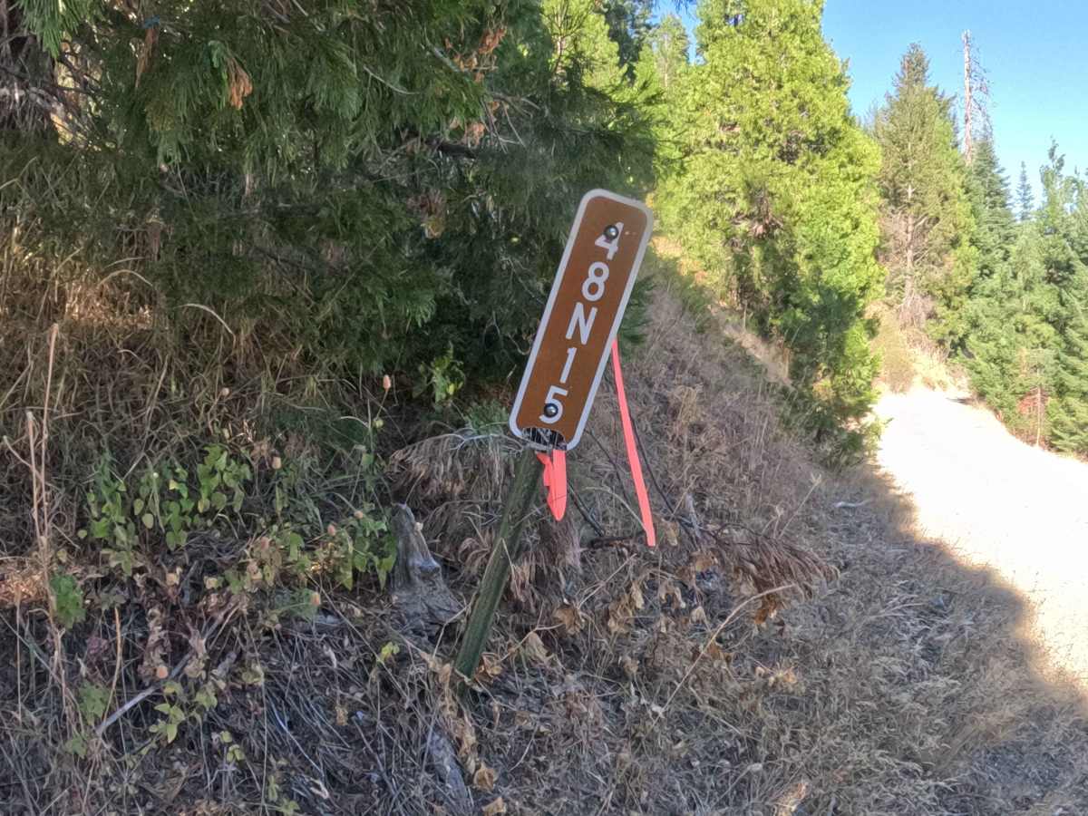
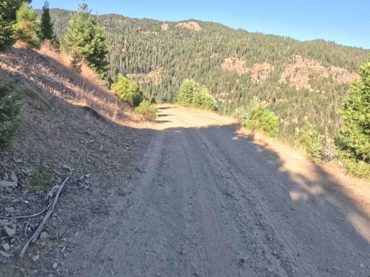
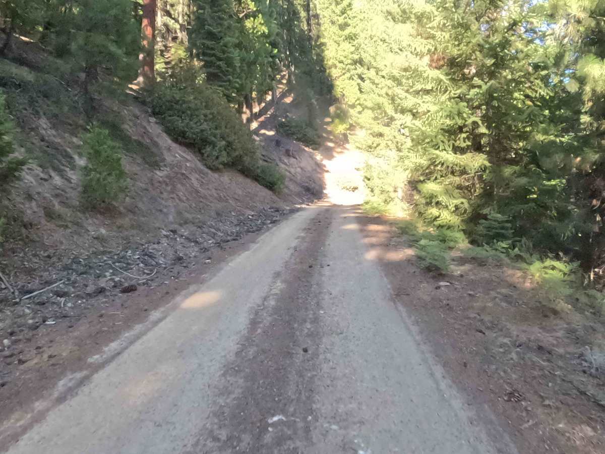
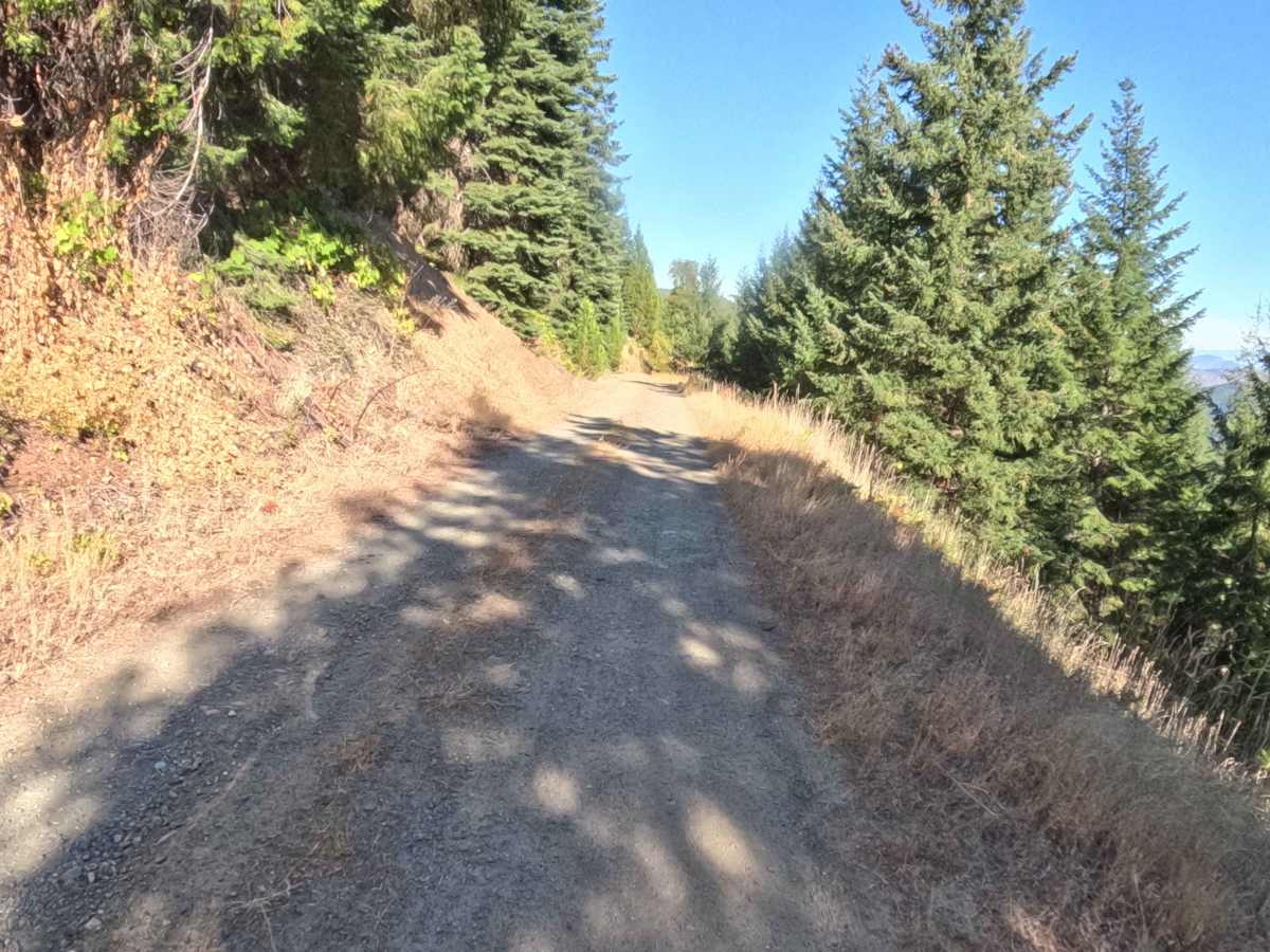
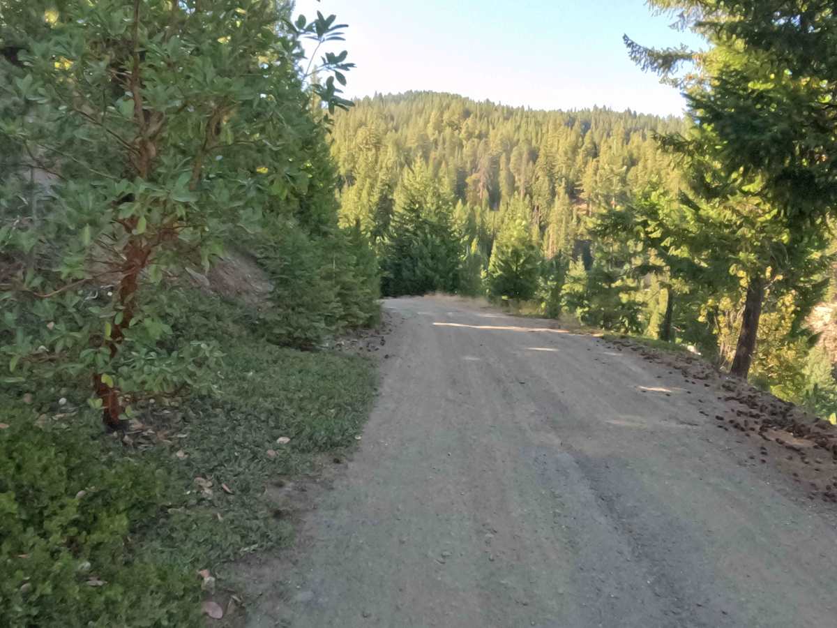
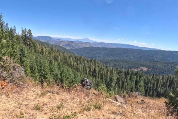
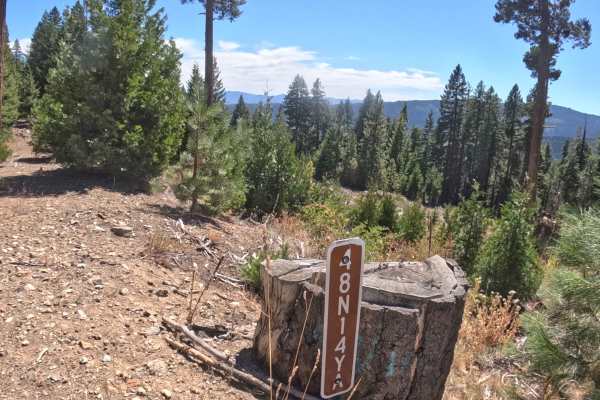
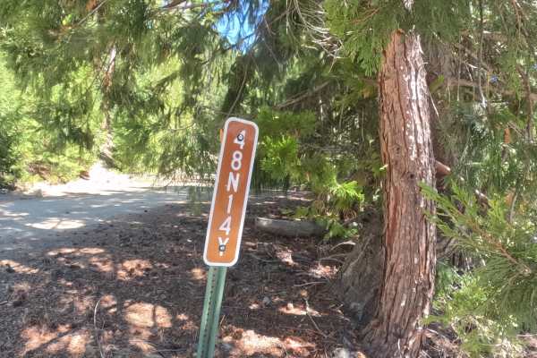
FS 48N15, locally recognized as Lower Trapper, is a steadily descending, hard-packed thoroughfare that serves as an important, heavily utilized connection for navigating the rugged backcountry. Set amidst the spectacular, densely forested terrain of the Klamath National Forest, this picturesque route offers an enjoyable, albeit prolonged, downhill cruise. The upper reaches of the track are largely open and exposed, with numerous blind sweeping turns that intermittently reveal stunning, unobstructed panoramas of the sprawling valley below. As the descent progresses, the environment shifts, and the lower half of the trail plunges under a thick, shady canopy of towering evergreens. Throughout the journey, travelers will encounter several seasonal creek crossings, some of which may still hold or flow with water late into the dry summer months, adding a touch of adventure to this essential forest transit.
Difficulty
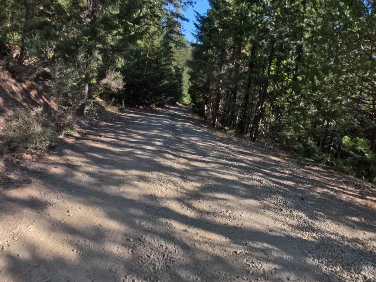
This road receives a straightforward difficulty rating of 2. It maintains a firm, hard-packed dirt and gravel base that descends at a consistent, mild gradient of a couple of percent. While generally smooth, the surface is frequently dusted with varying amounts of loose gravel. This loose material becomes more prevalent in the heavily shaded lower sections, where traction can occasionally become compromised on the tighter turns or slightly steeper pitches. Adding a minor element of roughness to the drive are scattered, embedded rocks measuring roughly two to four inches in height, which require a bit of attention but pose little issue for a cautious driver.

 Offroad