Trail Overview
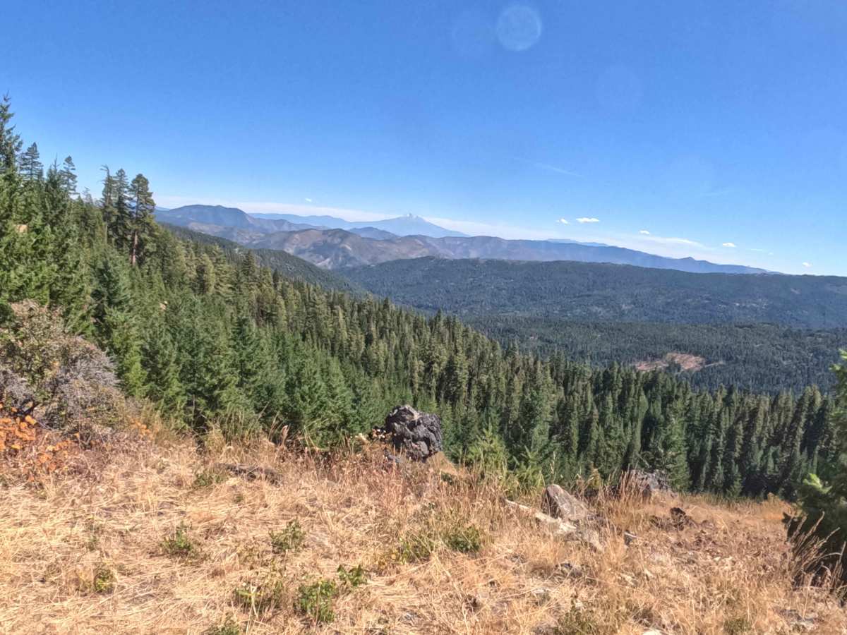
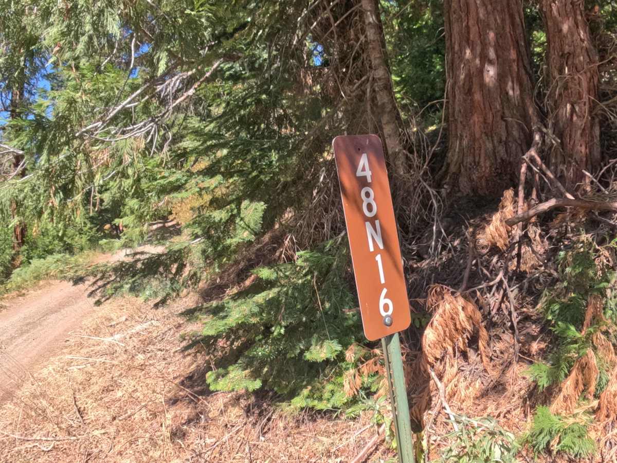
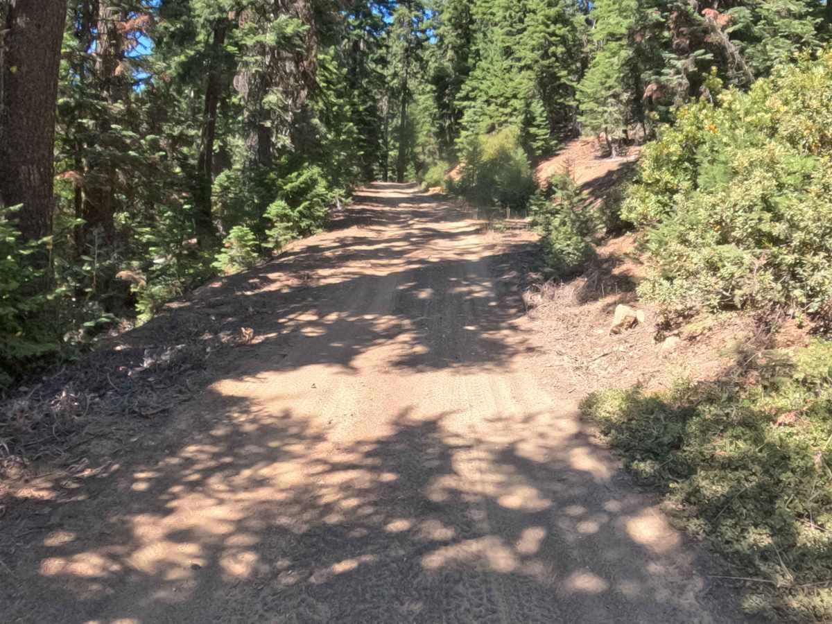
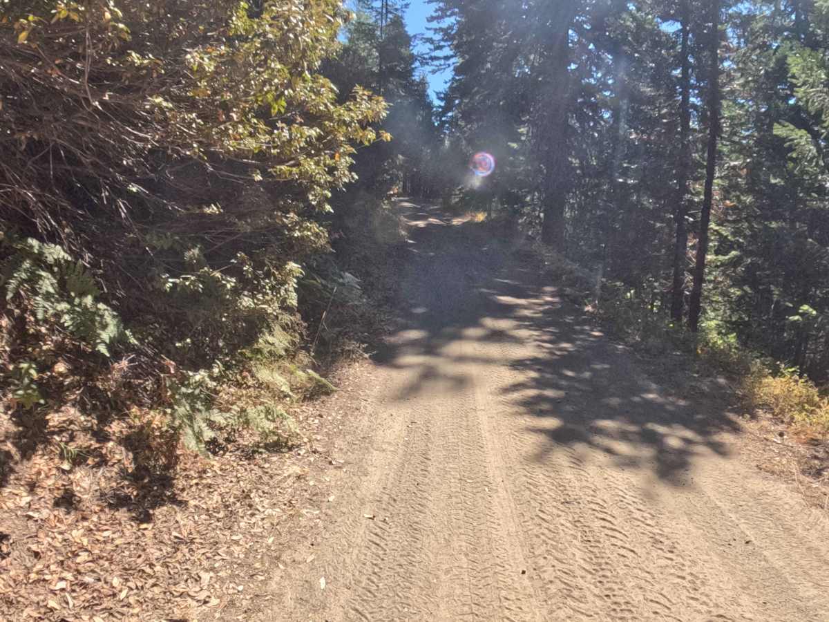
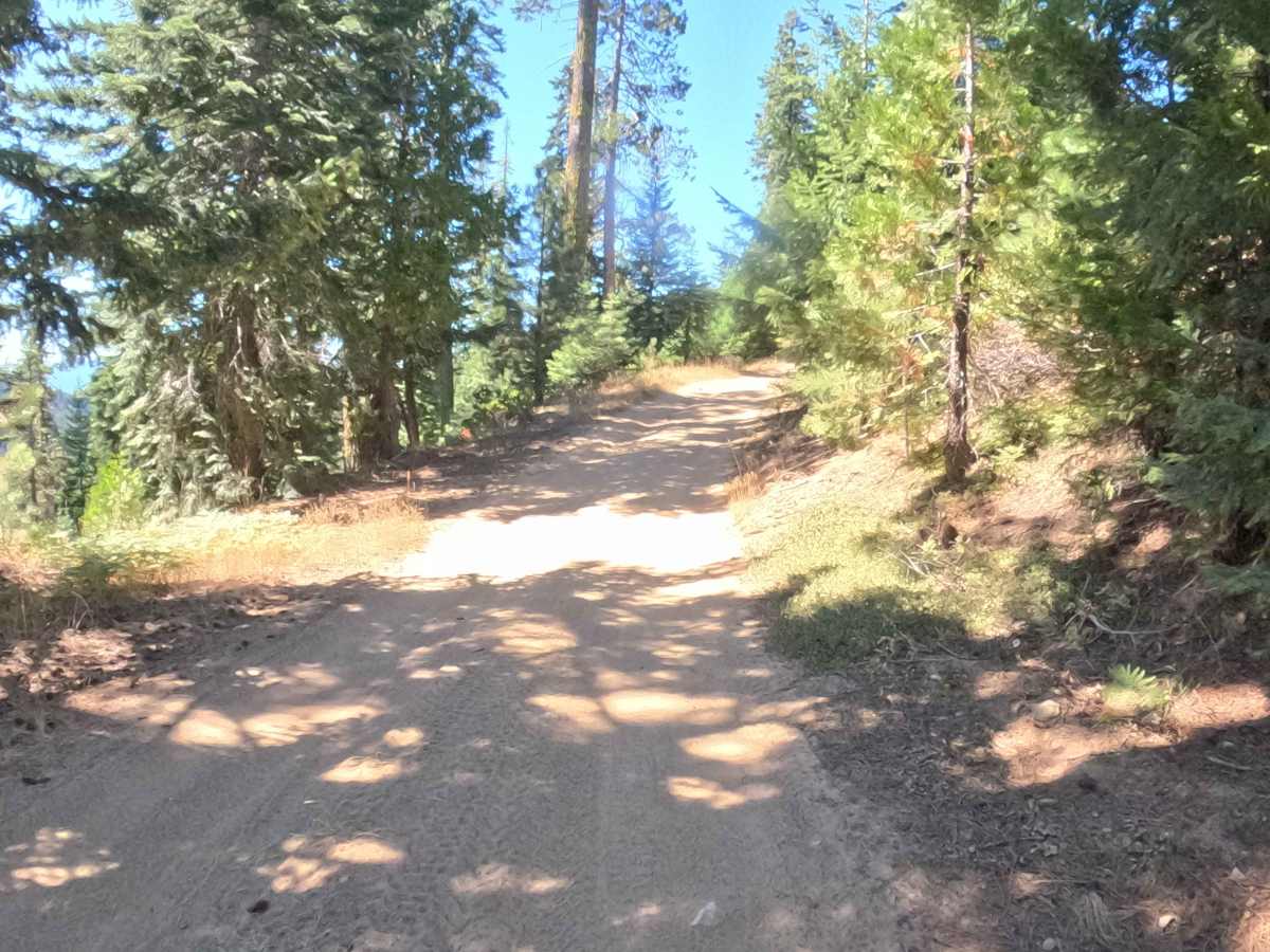
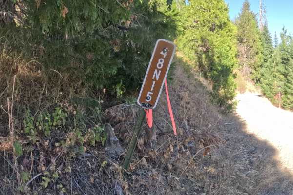
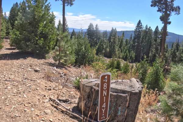
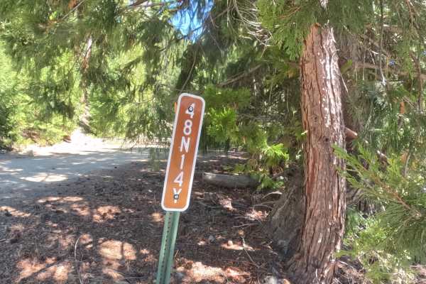
Forest Service Road 48N16, locally known as Wards Fork, serves as an essential and well-traveled connector route that links a broader network of remote paths deeper within the region. Managed by the Klamath National Forest, this picturesque track winds through a lush, shady woodland heavily populated by towering conifers and thick evergreen brush. The twisty corridor snakes up the mountainside through the timber before dramatically opening into a sprawling, high-elevation meadow. Outdoor adventurers and sightseers frequent this route not only for its vital throughput but also to enjoy the majestic 360-degree panoramic views at the summit clearing, which prominently feature the breathtaking peak of Mount Shasta in the distance.
Difficulty
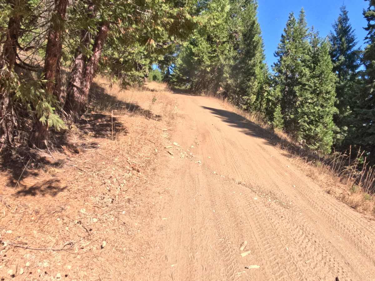
Receiving a modest difficulty rating of 2, this route features a hard-packed gravel foundation covered by a slippery layer of loose topsoil and pine needles. The undulating path incorporates a series of sharp, winding switchbacks and is crossed by several one-foot-tall rolling water bars designed to manage seasonal runoff. Because the steeper gradients can become severely dry, rutted, and loose during the peak summer months, picking a careful line is essential to maintain traction. A cautious approach and steady momentum are necessary to comfortably clear the earthen mounds and climb the loose, twisty corners without losing grip or scraping the undercarriage.