Trail Overview
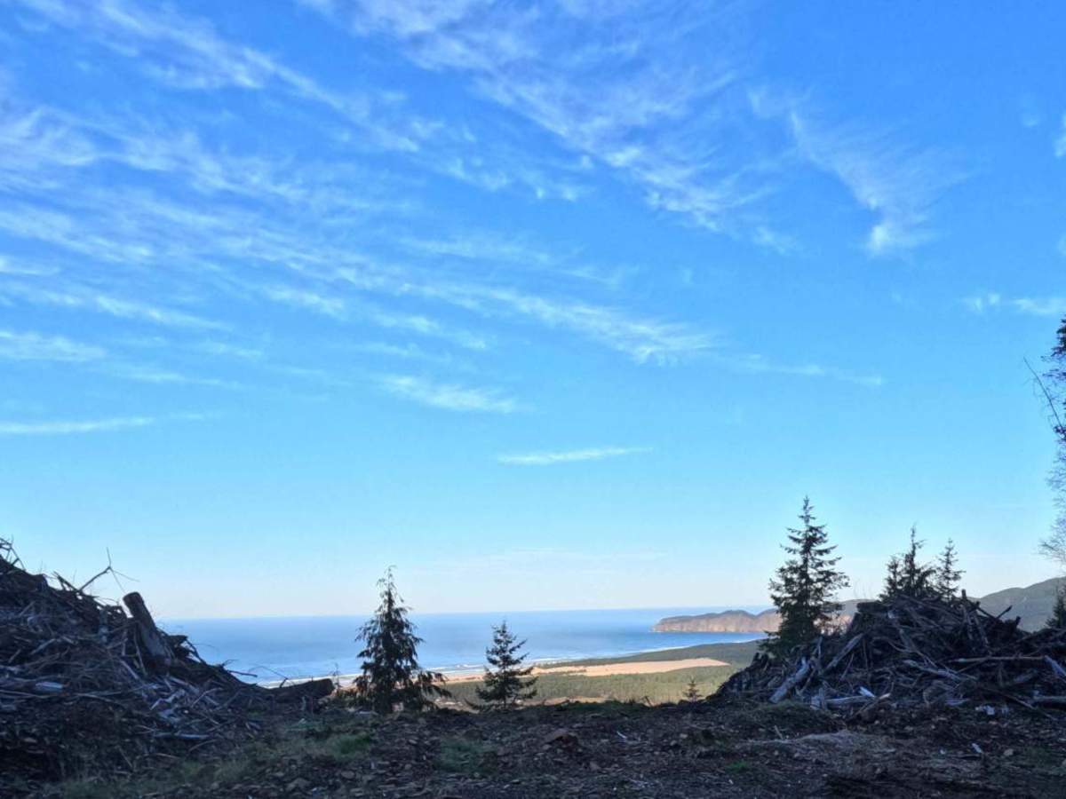
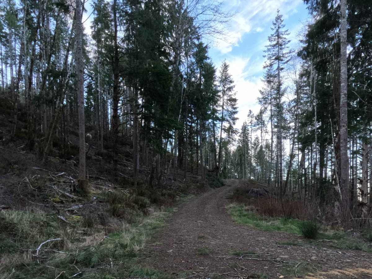
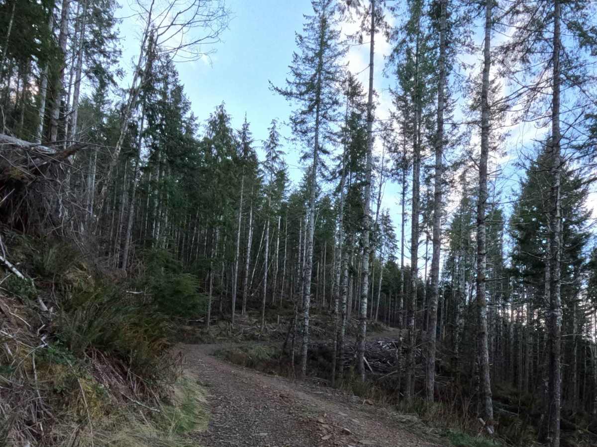
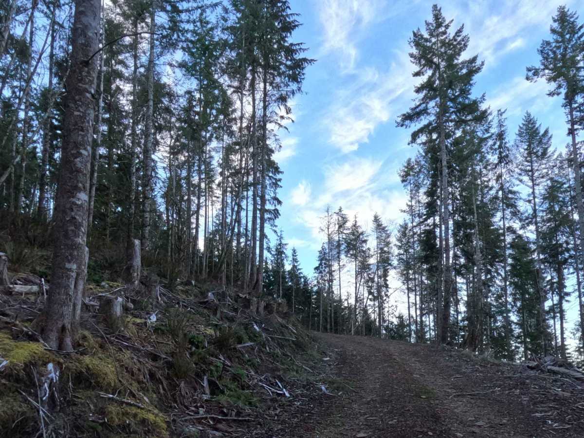
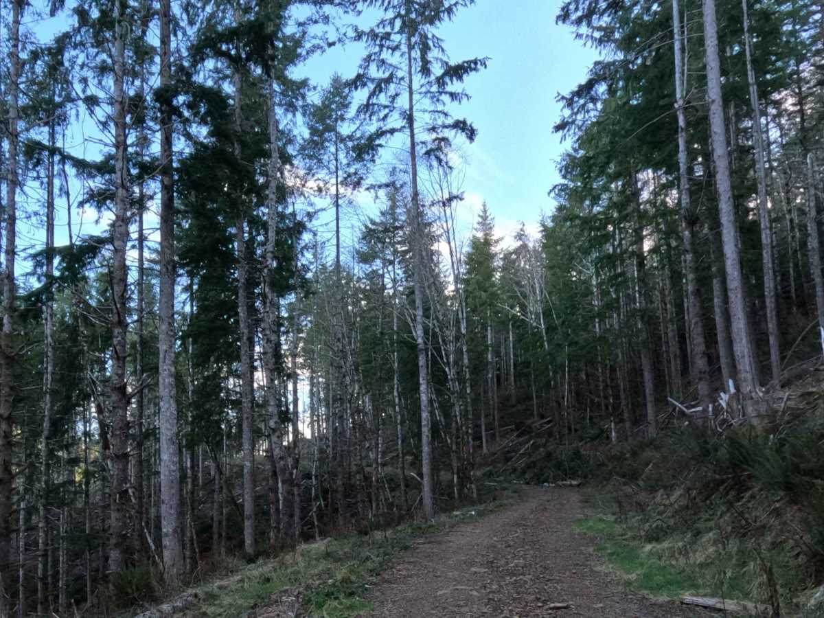
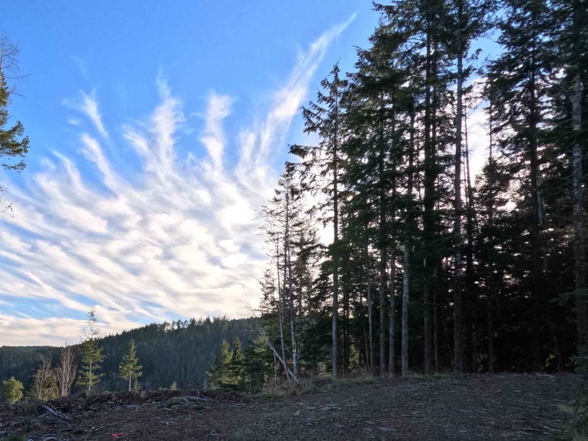
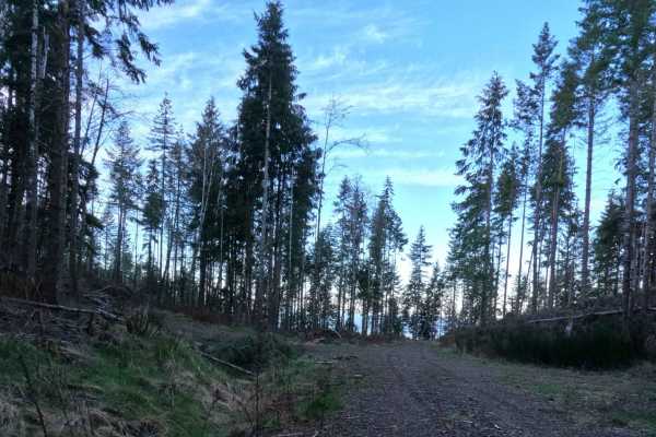
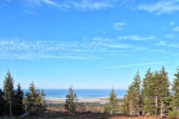
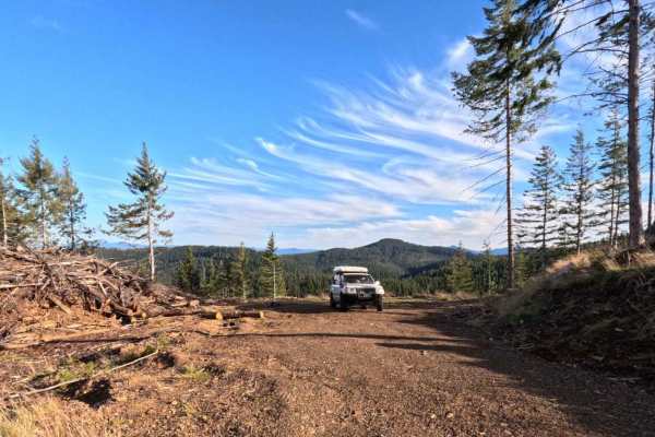
The Kart Road spur offers a 0.8-mile scenic climb to one of the premier camping locations in the area. The route ascends steadily through a working coastal forest, transitioning from enclosed timber into recently harvested zones lined with prominent slash piles. According to the GPS data, the trail climbs roughly 450 feet, starting at an elevation of 229 meters and ending near 365 meters. The reward at the end of this short, winding track is a large, leveled clearing that formerly served as a commercial logging landing. Today, it functions as a spacious dispersed campsite. Because the surrounding timber has been cleared, campers are treated to sweeping, elevated views directly out over the Pacific Ocean—making this a great, breezy spot to deploy your awning and catch a world-class coastal sunset.
Difficulty
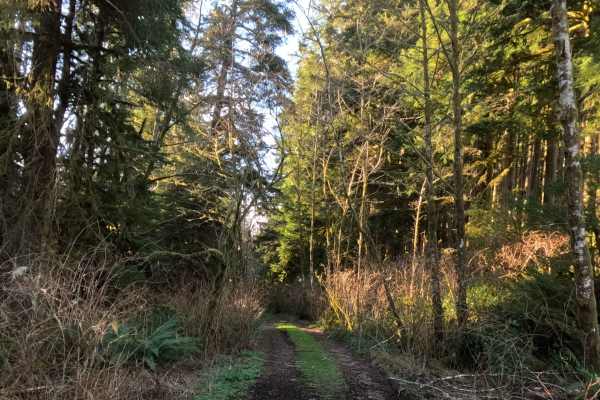
The overall technical difficulty of the Kart spur remains low, but the unmaintained nature of the road demands a cautious, deliberate approach. The tread consists of rough, loose gravel mixed with dirt and scattered forest debris. The primary obstacles are the pronounced water bars cut across the track to prevent erosion on the hill. These aggressive drainage ditches act as speed bumps, mandating a slow pace and a vehicle with high clearance to prevent bottoming out the suspension or scraping bumpers. While 4WD is rarely required in dry summer conditions, it provides helpful, controlled traction on the gravel ascent.