Junction Spring

Total Miles2.9
Technical Rating
1Easy
Best TimeSpring, Summer, Fall
Trail TypeFull-Width Road
Accessible By
Open Trail Map

Trail Overview

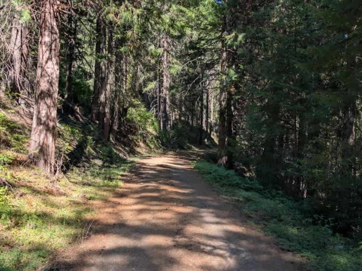
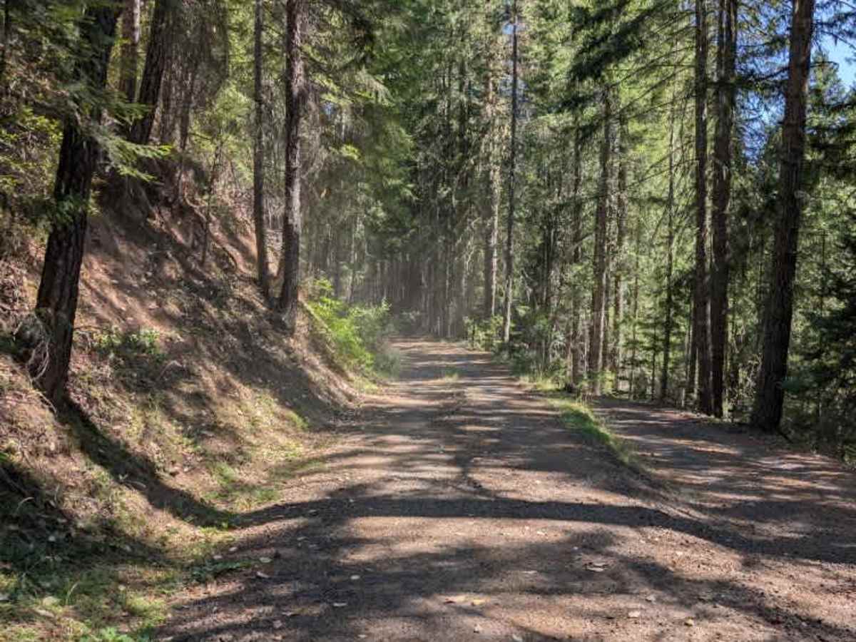
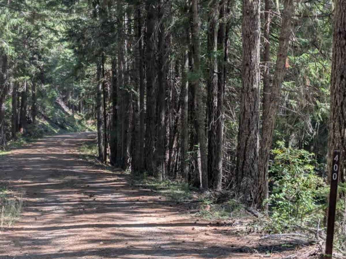
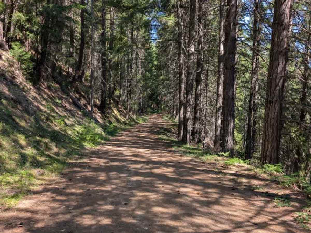
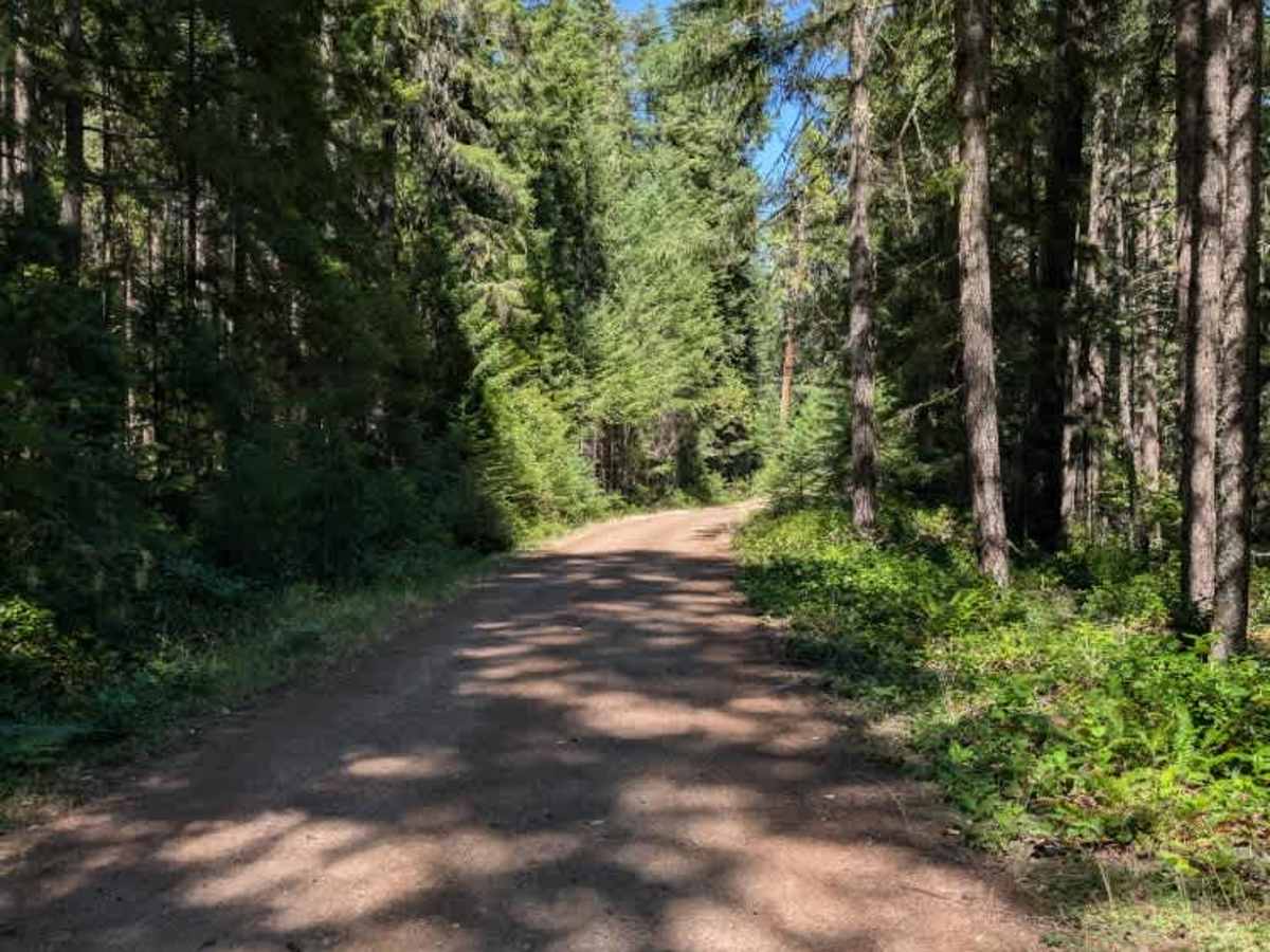
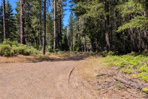
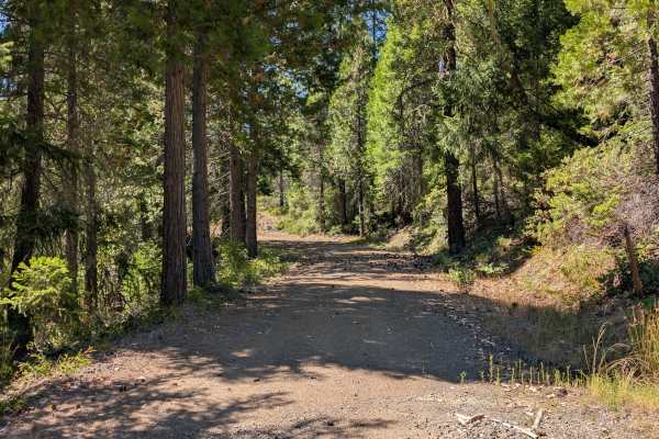
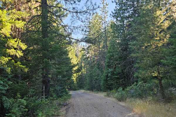
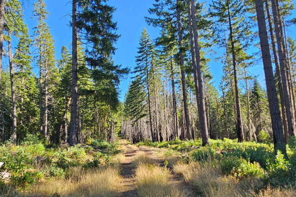
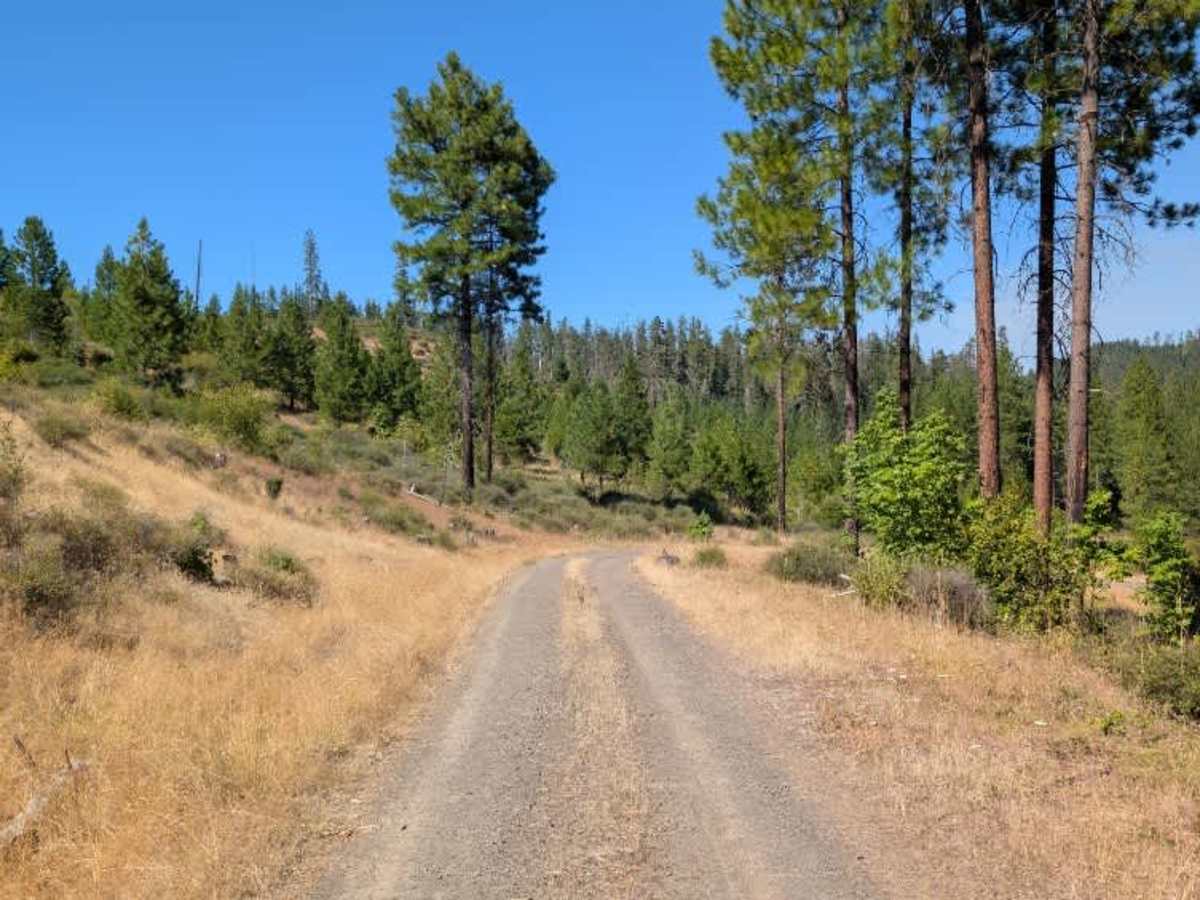
This connective trail links two main arterial roads, providing an easy way to travel between the surrounding routes. When approaching from the west, the trail starts fairly wide before gradually narrowing as it continues. The surface has a few bumps and uneven sections, but there are no major obstacles to worry about along this trail. Several fallen trees are visible along the sides of the road, although they do not appear to block the main route. As the trail becomes tighter, drivers should stay aware of the narrower sections and surrounding vegetation. Overall, this is a pleasant and straightforward connector that offers a simple way to move between the two larger roads without any particularly difficult terrain. This route is subject to Seasonal Designation from 05/01-11/30. Please check local regulations and current conditions before traveling. ATVs, UTVs, Side-by-Sides, and Dirt Bikes must always have a valid Oregon ATV Operating Permit sticker.

Photos of Junction Spring

Difficulty

Minor bumps, uneven sections, and narrowing vegetation are the main challenges on this otherwise easy connector.

Technical Rating

1

Junction Spring Trail can be accessed by the following ride types:

  • Single Track
  • 50 Inch
  • 60 Inch
  • High Clearance
  • Full Width

Junction Spring Map

The onX Offroad Difference

onX Offroad combines trail photos, descriptions, difficulty ratings, width restrictions, seasonality, and more in a user-friendly interface. Available on all devices, with offline access and full compatibility with CarPlay and Android Auto. Discover what you're missing today!

Open Trail Map