FS 47N01

Total Miles2.5
Technical Rating
1Easy
Best TimeSpring, Summer, Fall
Trail TypeFull-Width Road
Accessible By
Open Trail Map

Trail Overview

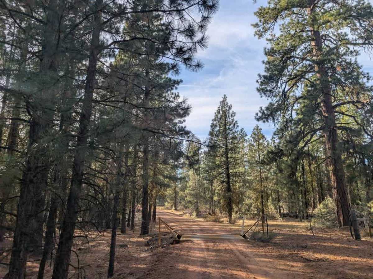
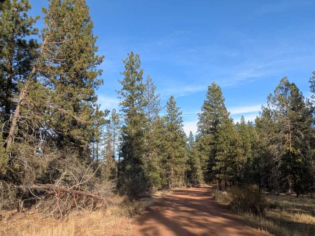
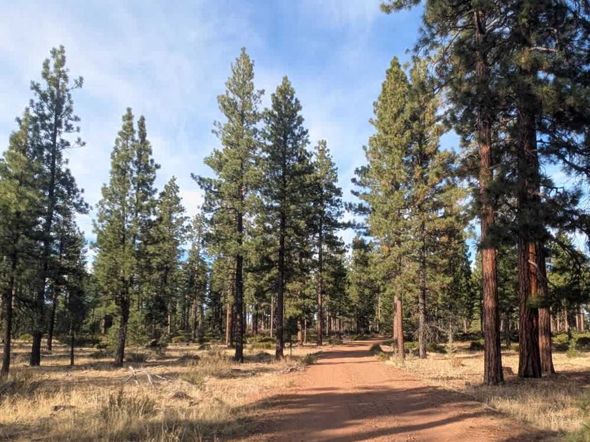
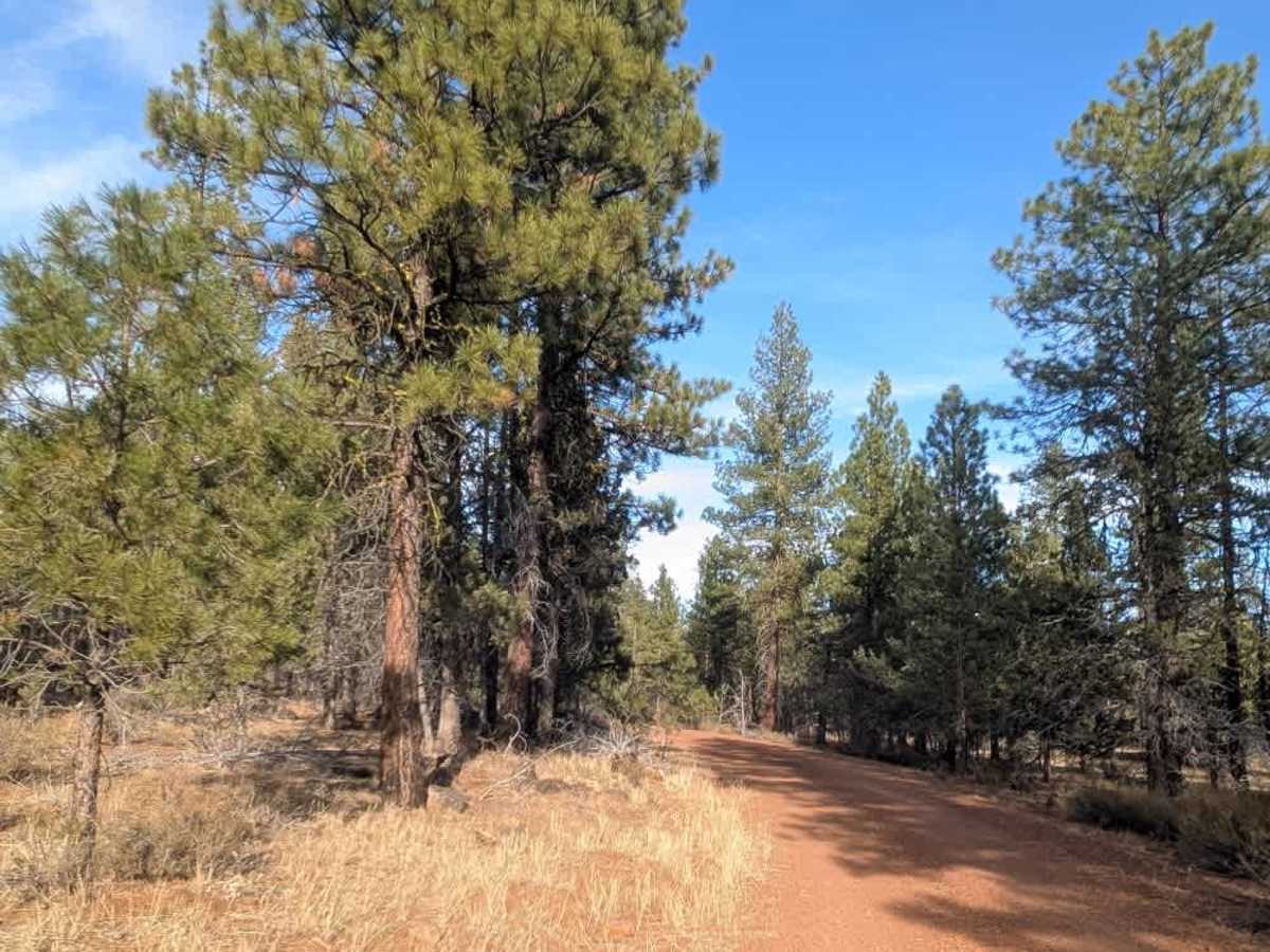
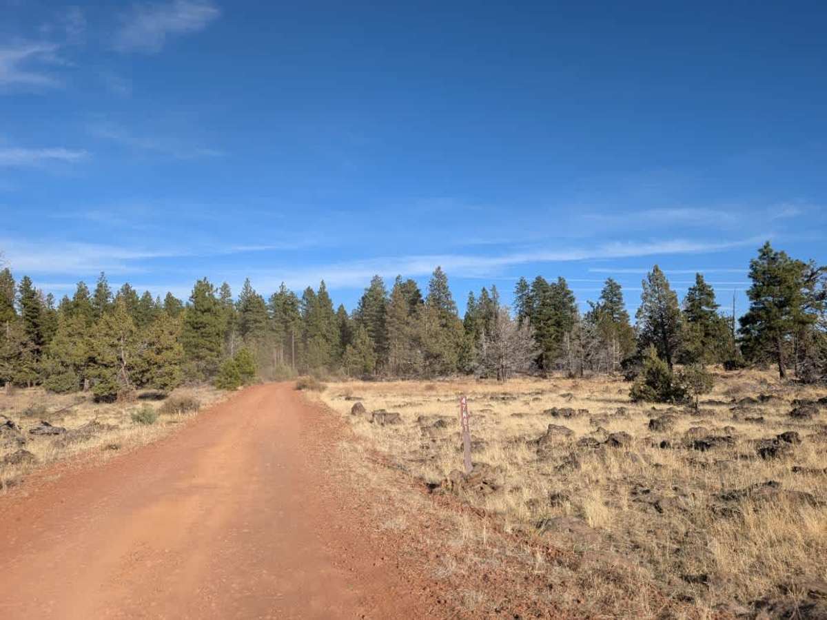
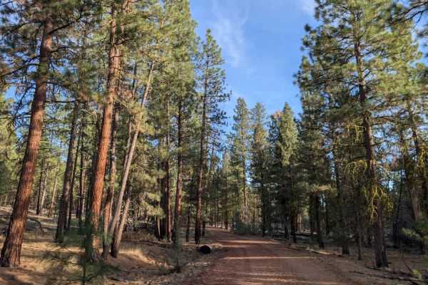
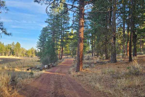
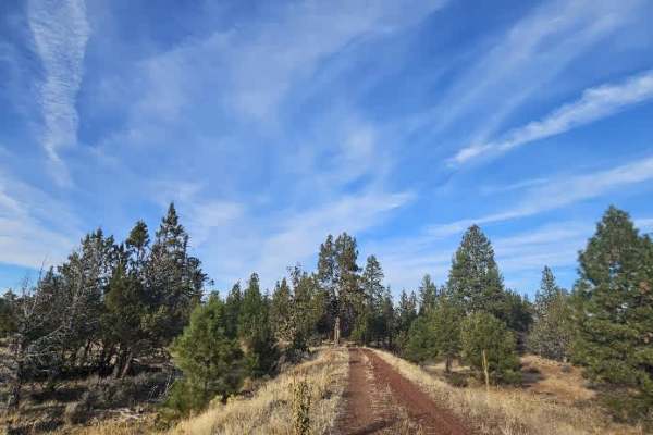
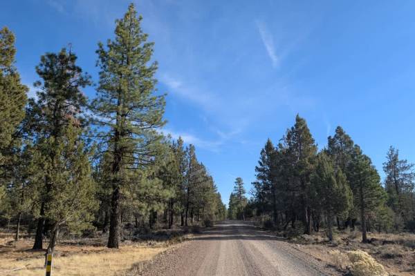
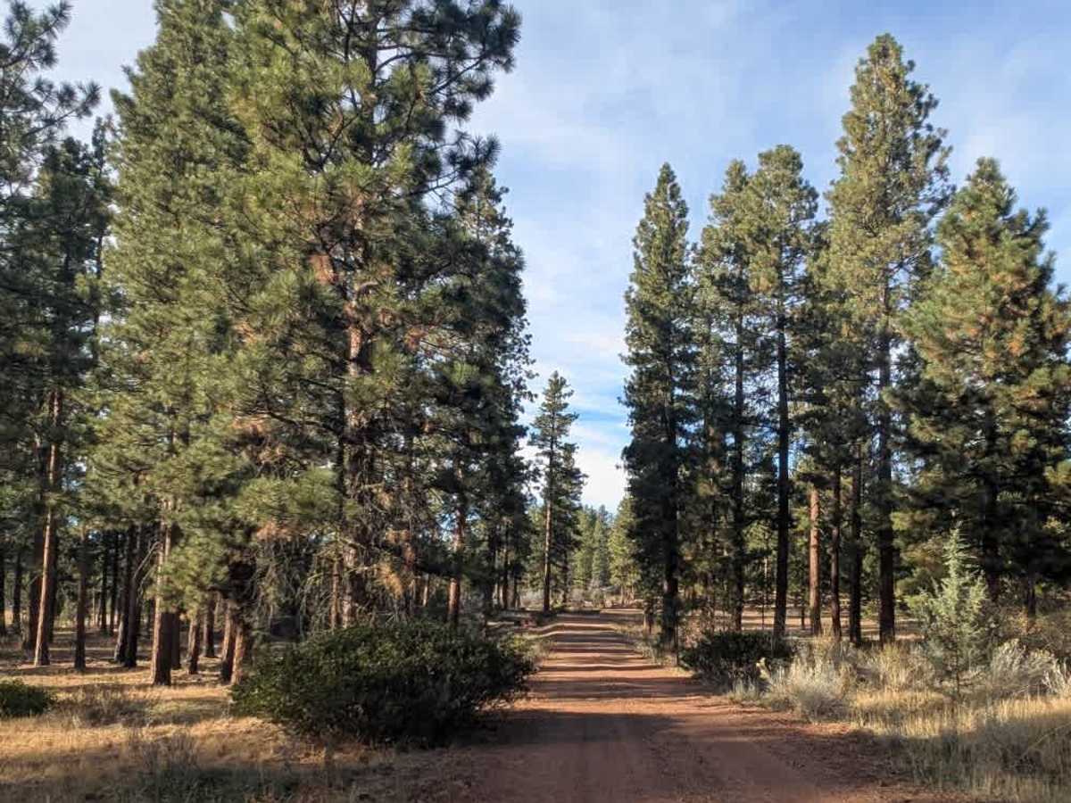
This beautifully maintained route follows a reddish volcanic gravel-and-silt surface, with very few bumps, rocks, or uneven sections along the initial stretch. The road winds through a lovely forest before opening into a broad, flat grassland with a distinctly volcanic landscape and exposed lava-field terrain. As the surroundings change, the road naturally becomes a little rougher and more uneven, so adjust your speed accordingly. Numerous dispersed camping spots are available along the route, with plenty of room to pull off and settle in. Be sure to watch for the cattle guard within the first mile, as it has a noticeable bump and should be crossed slowly. Farther along, you’ll encounter a gate and posted signage marking private property. Do not trespass beyond this point and be sure to respect all posted access restrictions. ATVs, UTVs, Side-by-Sides, and Dirt Bikes must always have a valid California ATV Operating Permit sticker.

Photos of FS 47N01

Difficulty

The changing surface becomes a little more uneven beyond the forest, but there are no major driving obstacles aside from the cattle guard.

Technical Rating

1

FS 47N01 Trail can be accessed by the following ride types:

  • Single Track
  • 50 Inch
  • 60 Inch
  • High Clearance
  • Full Width

FS 47N01 Map

The onX Offroad Difference

onX Offroad combines trail photos, descriptions, difficulty ratings, width restrictions, seasonality, and more in a user-friendly interface. Available on all devices, with offline access and full compatibility with CarPlay and Android Auto. Discover what you're missing today!

Open Trail Map