FS 48N08

Total Miles9.6
Technical Rating
1Easy
Best TimeSpring, Summer, Fall
Trail TypeFull-Width Road
Accessible By
Open Trail Map

Trail Overview

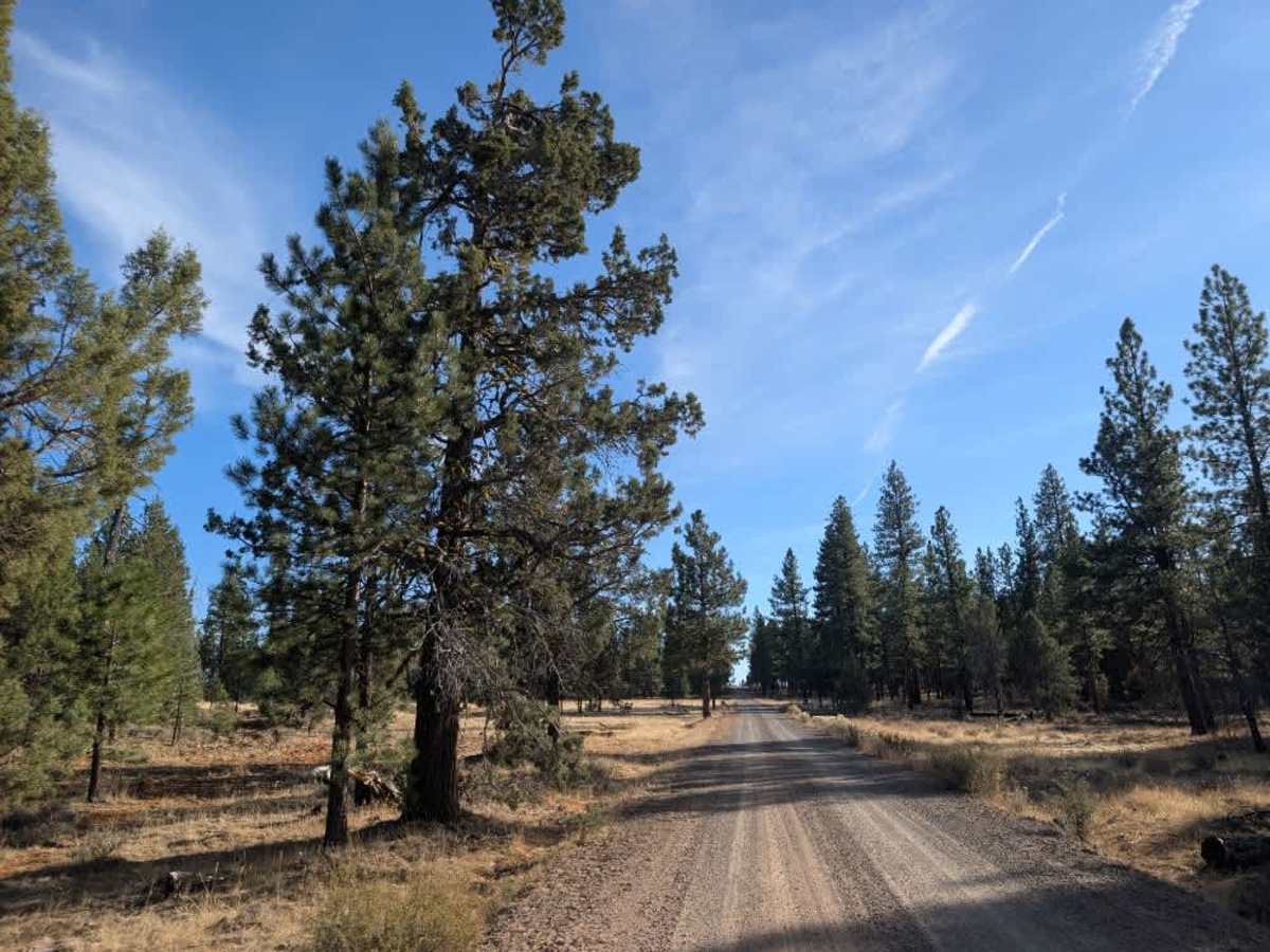
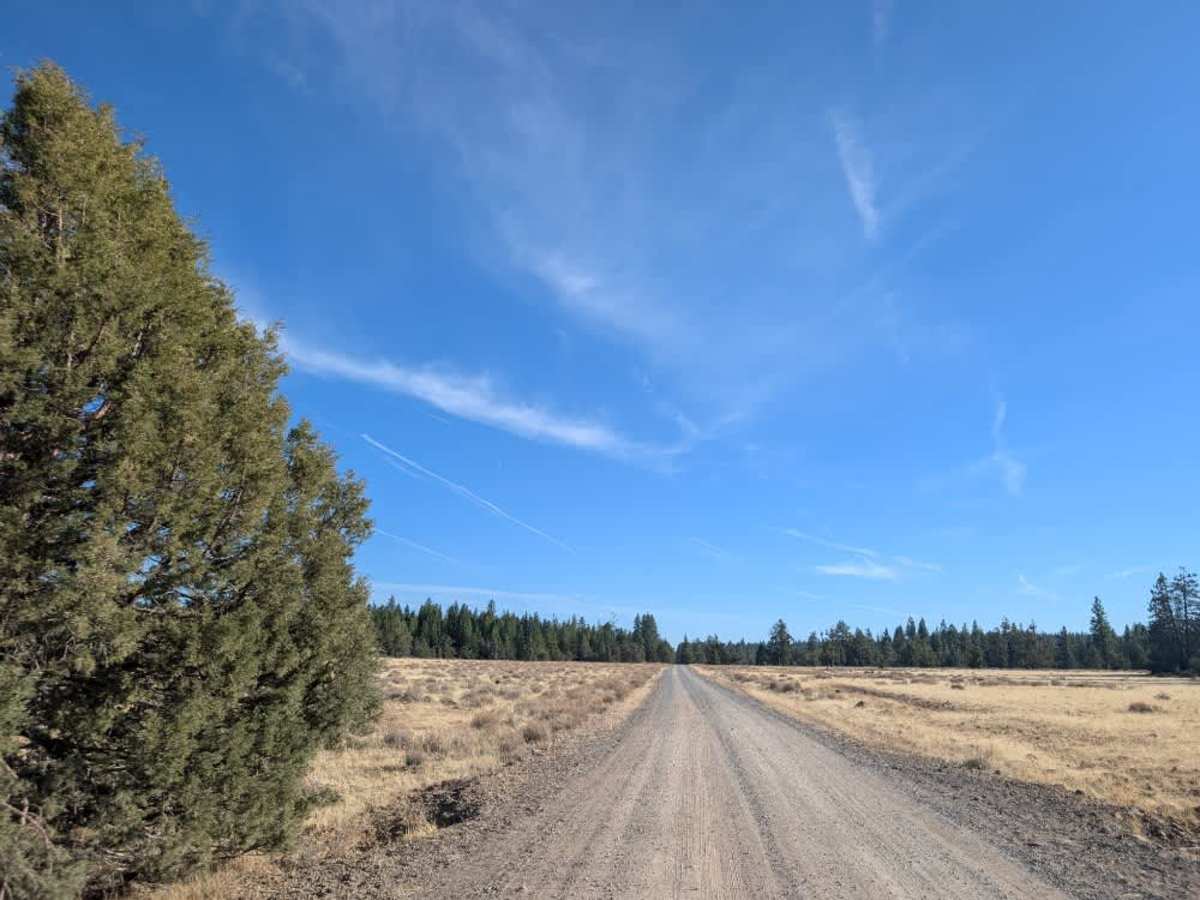
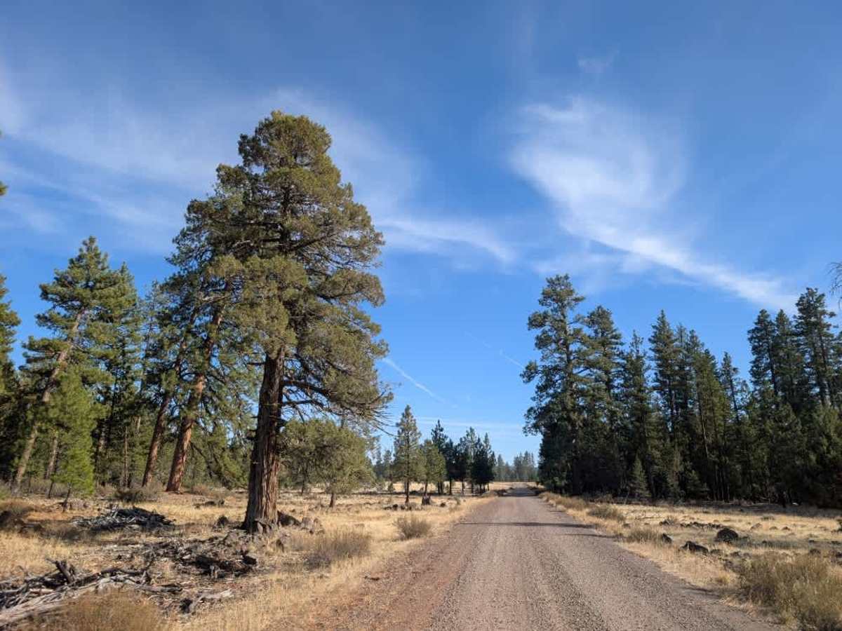
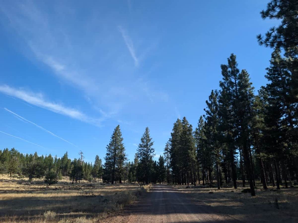
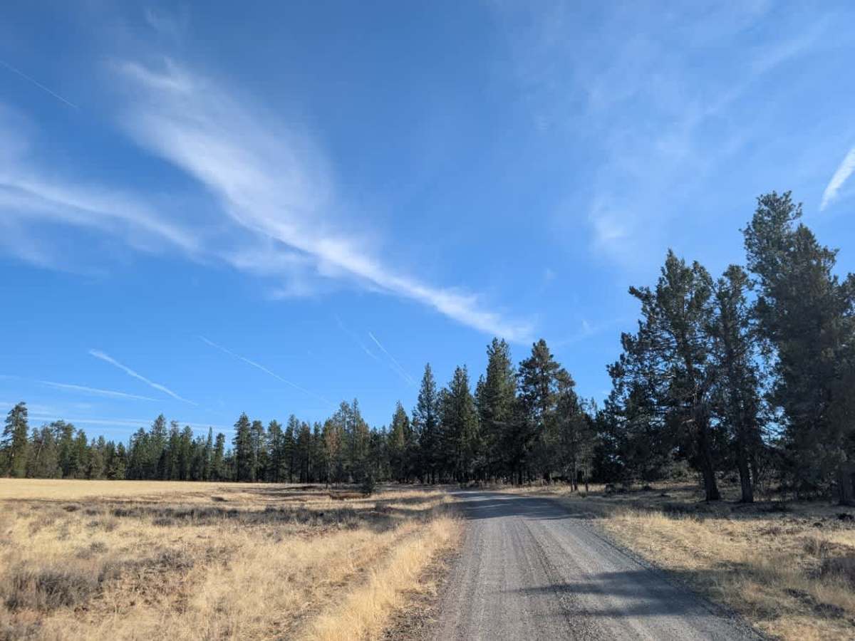
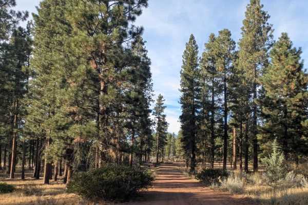
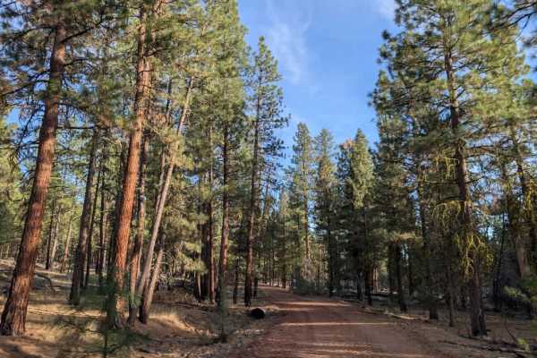
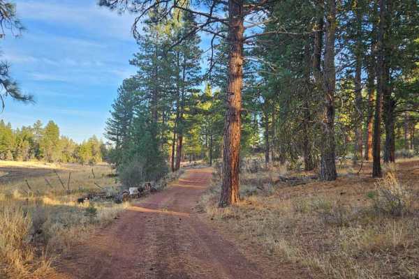
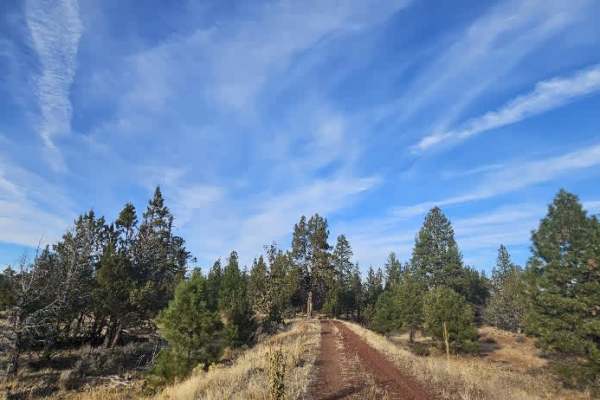
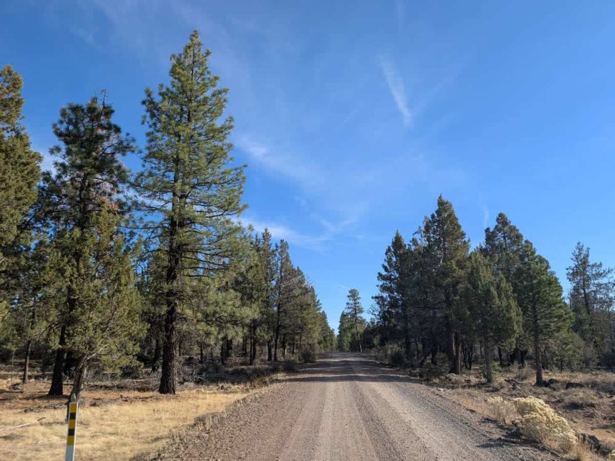
This well-maintained route stretches from the Oregon border south toward Alturas, passing through a beautiful mix of forested areas, open plains, and elevated plateaus. The road is generally in good condition, though there are some corrugated, slightly bumpy sections along the way. Several smaller trails branch off the main route, offering plenty of opportunities to explore the surrounding area. There are also ample dispersed camping opportunities along the road, with Janes Reservoir Campground nearby for those who prefer an established option. You’ll encounter a couple of cattle guards along the route, so take care when crossing them. This road sees regular traffic, particularly from hunters, so stay alert for other vehicles and travel at a safe speed. This trail is accessible only to Highway Legal Vehicles, so please do not use any other type of vehicle on this road.

Photos of FS 48N08

Difficulty

This is an easy route overall, with generally good road conditions and only occasional corrugated, bumpy sections.

Technical Rating

1

FS 48N08 Trail can be accessed by the following ride types:

  • High Clearance
  • Full Width

FS 48N08 Map

The onX Offroad Difference

onX Offroad combines trail photos, descriptions, difficulty ratings, width restrictions, seasonality, and more in a user-friendly interface. Available on all devices, with offline access and full compatibility with CarPlay and Android Auto. Discover what you're missing today!

Open Trail Map