FS 3100000

Total Miles2.5
Technical Rating
2Easy
Best TimeSummer, Fall, Spring
Trail TypeFull-Width Road
Accessible By
Open Trail Map

Trail Overview

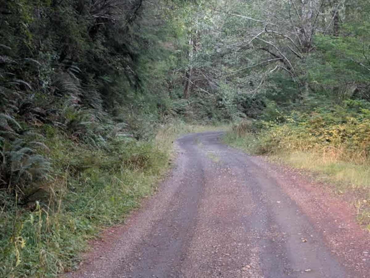
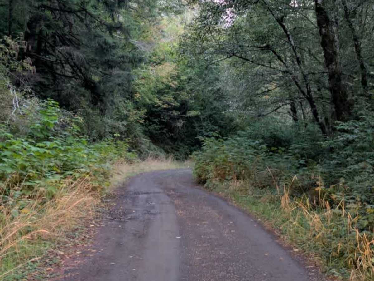
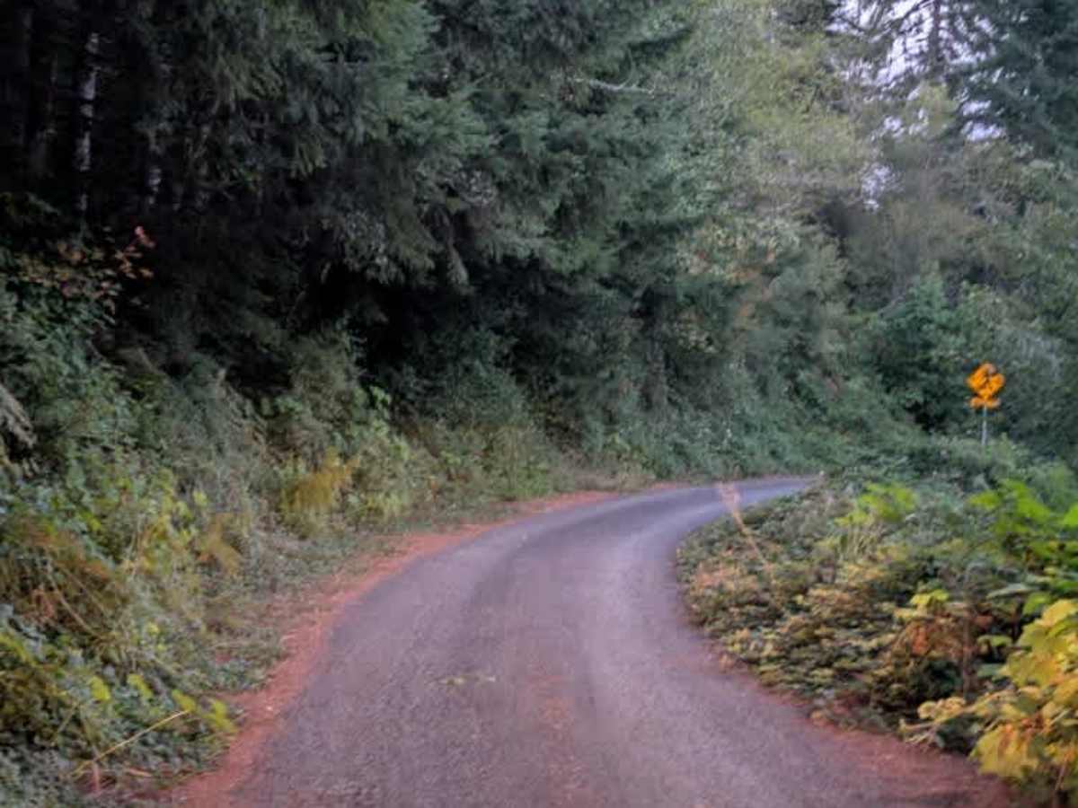
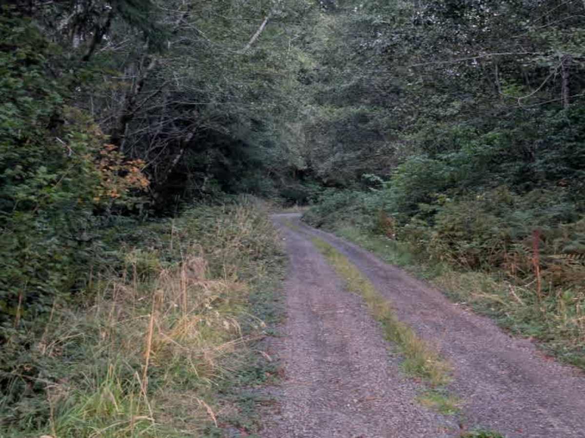
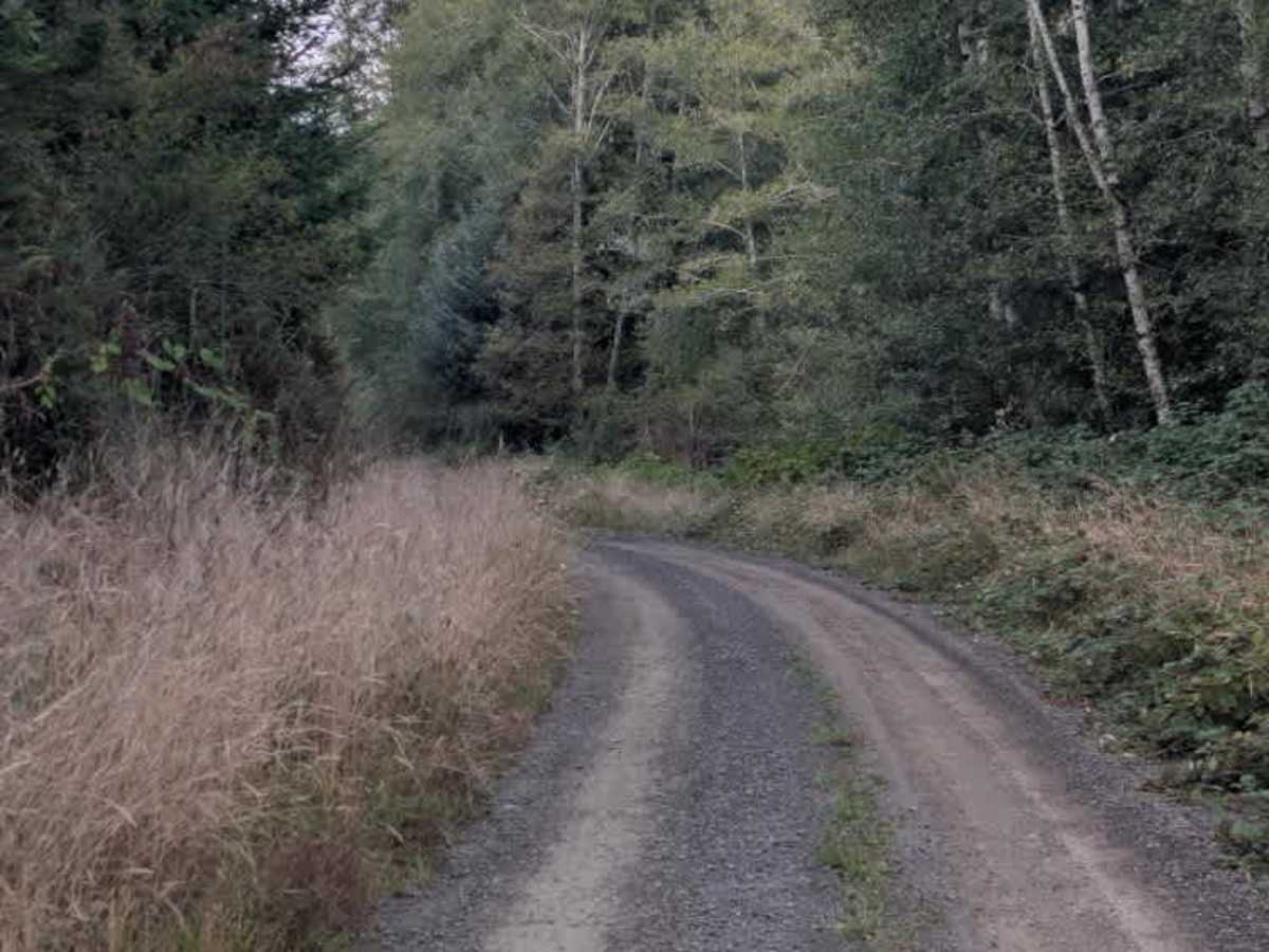
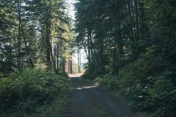
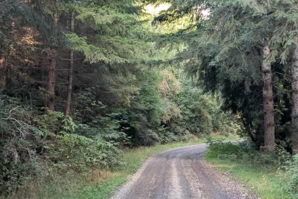
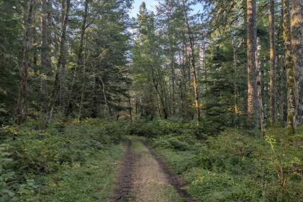
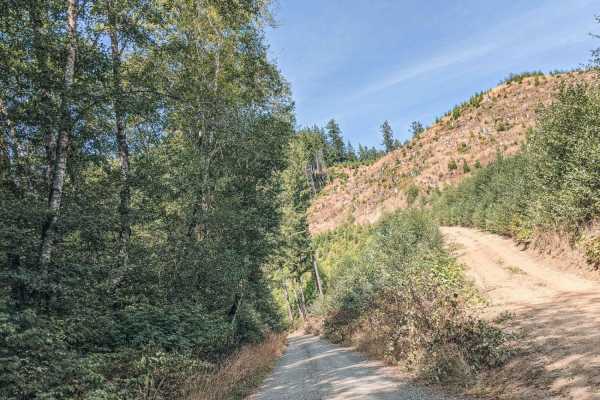
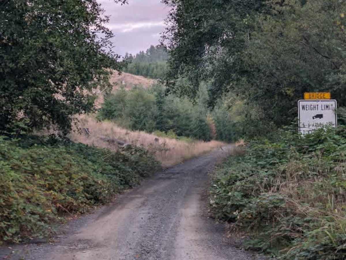
This tight, single-lane trail climbs toward the paved section of Highway 31 through a lush, green forest. The route has a noticeable incline and is surrounded by overgrowth, though the vegetation stays clear of the travel path. The main concern along the climb is the number of potholes, including several that are quite deep. Many are located around corners and dips in the road, making them harder to spot and requiring extra caution. A couple of areas allow vehicles to turn around if needed. Despite the potholes and narrow road, the trail is otherwise fairly straightforward and has no major obstacles blocking the route. Dispersed camping is not permitted along this trail. ATVs, UTVs, Side-by-Sides, and Dirt Bikes must always have a valid Oregon ATV Operating Permit sticker. Please note that only this mapped section allows OHVs to travel.

Photos of FS 3100000

Difficulty

The narrow trail and numerous deep potholes make this a moderately challenging route.

Technical Rating

2

FS 3100000 Trail can be accessed by the following ride types:

  • Single Track
  • 50 Inch
  • 60 Inch
  • High Clearance
  • Full Width

FS 3100000 Map

The onX Offroad Difference

onX Offroad combines trail photos, descriptions, difficulty ratings, width restrictions, seasonality, and more in a user-friendly interface. Available on all devices, with offline access and full compatibility with CarPlay and Android Auto. Discover what you're missing today!

Open Trail Map