Trail Overview
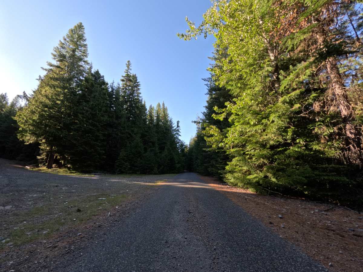
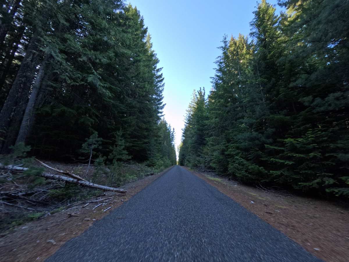
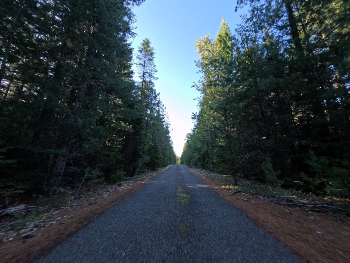
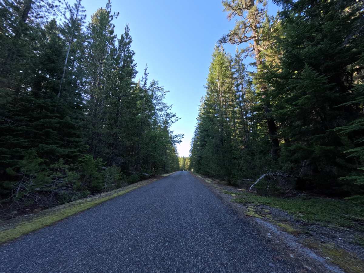
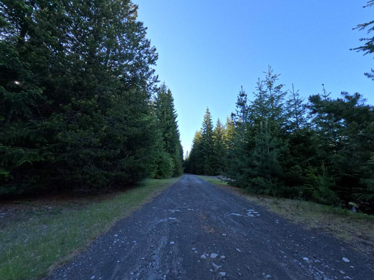
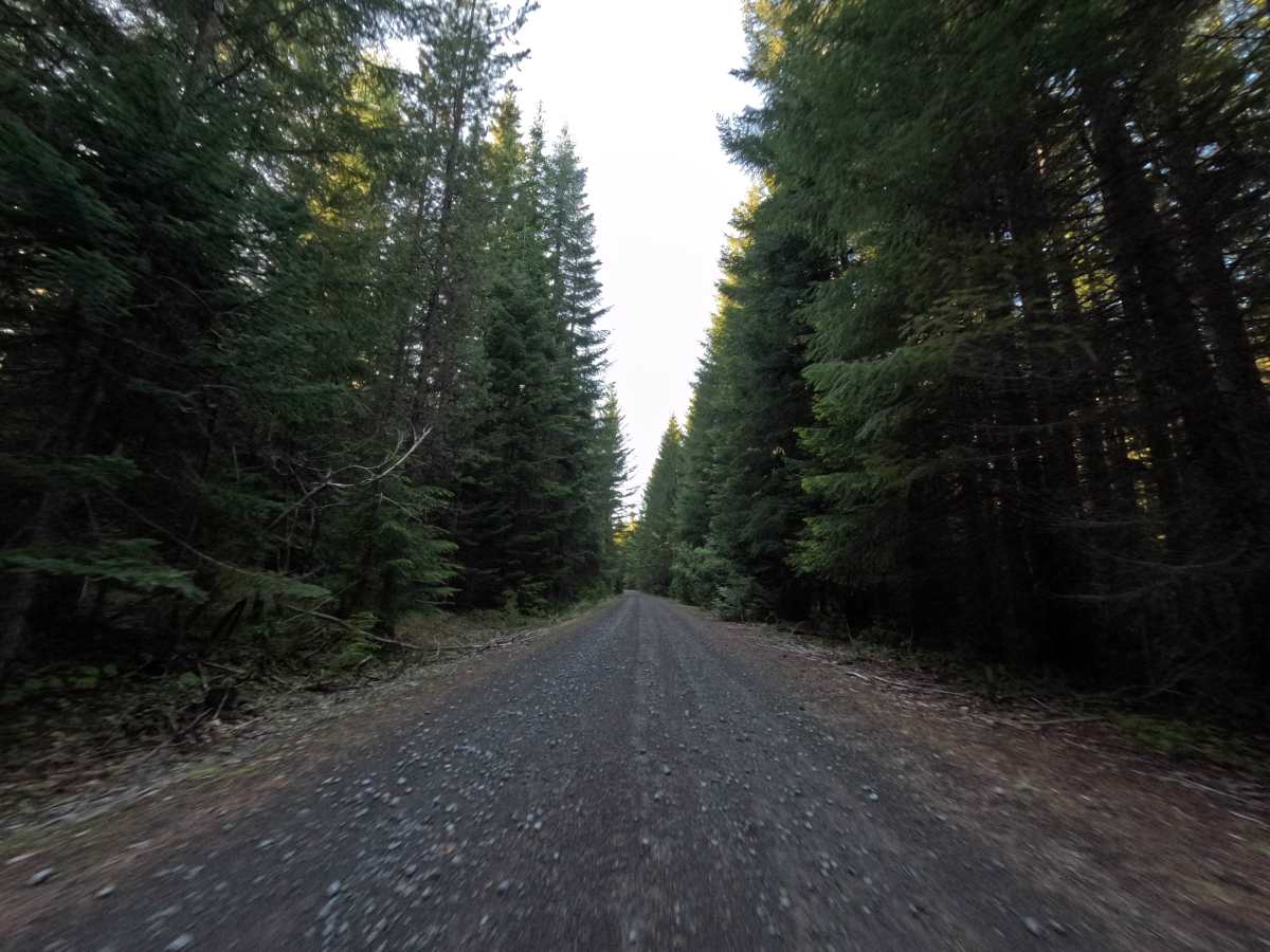
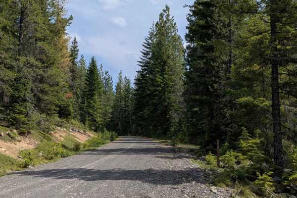
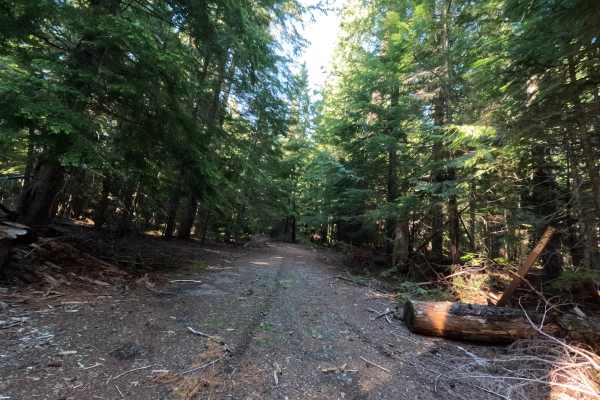
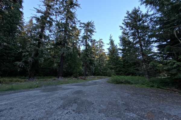
Trail 2610250 is a brief, highly shaded forest out-and-back that initially offers a very relaxing drive. The route begins on pavement before seamlessly transitioning into an exceptionally smooth, well-graded gravel road. As you cruise under the dense, beautiful canopy of towering evergreen trees, you will pass a single, isolated dispersed campsite available for backcountry use. As the trail climbs toward the top, the pristine gravel deteriorates, and drivers will begin encountering noticeable dirt ruts. At the final map split, only one direction remains available to travelers. The route ultimately dead-ends where a massive downed tree completely blocks the path. Explorers must utilize the designated turnaround spot here; if you fail to use it or push too far past it, you will be forced to reverse your vehicle back down the narrow trail.
Difficulty
The vast majority of this short trail is an absolute breeze, featuring paved and smooth gravel surfaces that any passenger car could easily handle. However, the difficulty ticks upward toward the end of the route as noticeable ruts develop in the dirt. The most significant challenge here is spatial awareness rather than rock crawling: a large fallen tree hard-stops forward progress, meaning drivers must strategically use the available turnaround spot. Those who misjudge the space or ignore the turnaround will find themselves awkwardly backing down the trail.