Trail Overview
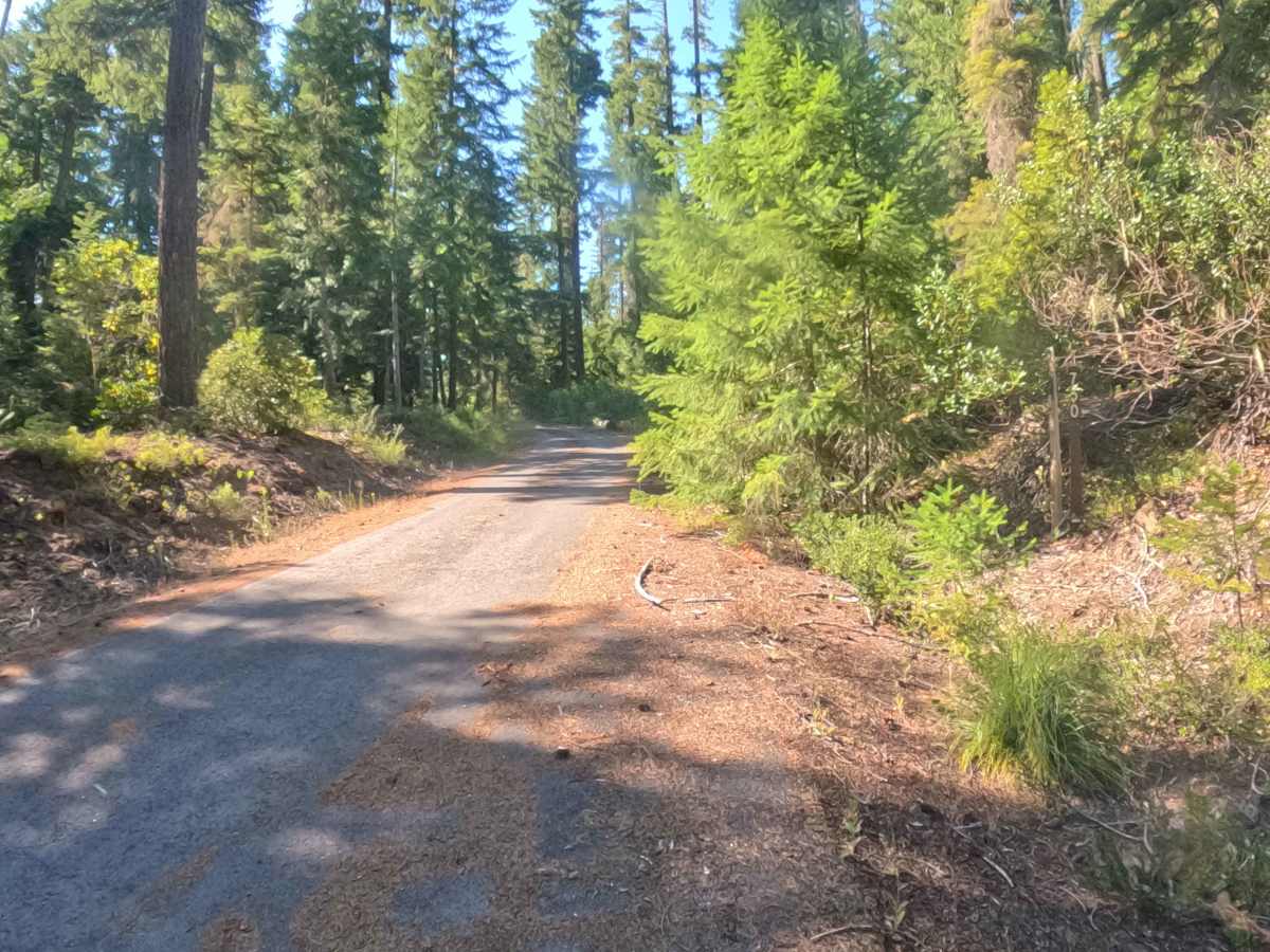
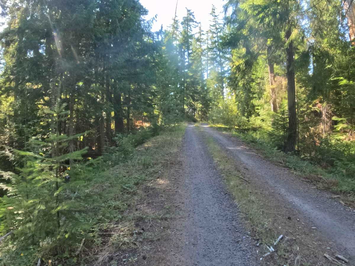
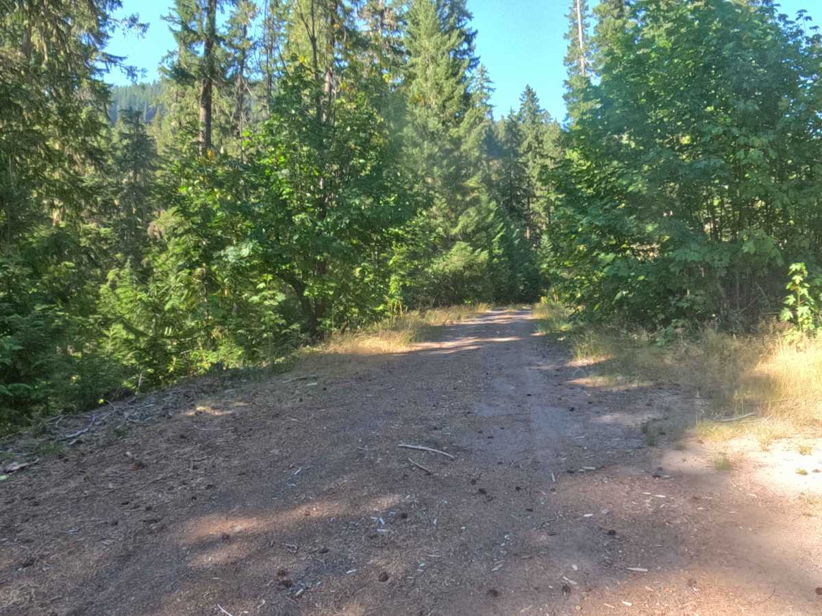
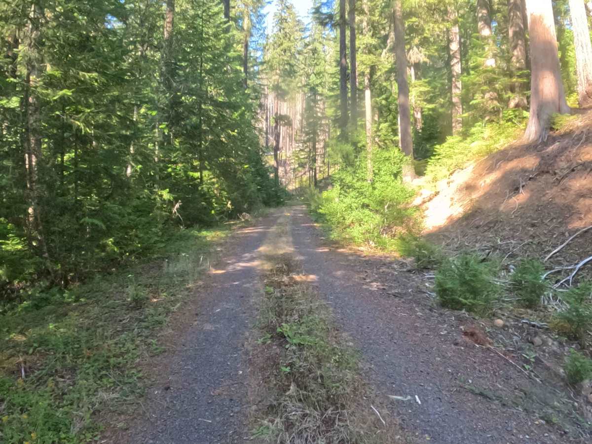
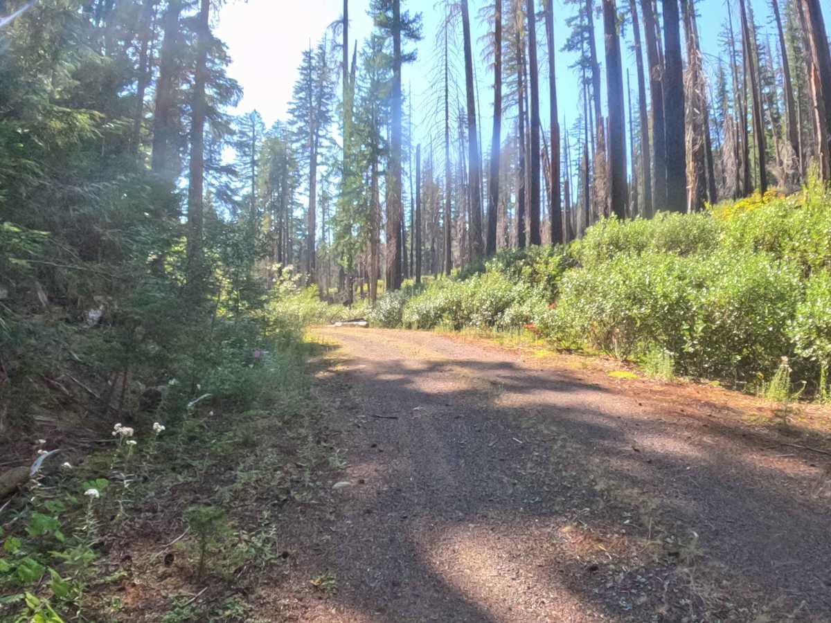
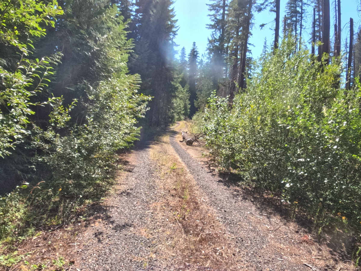
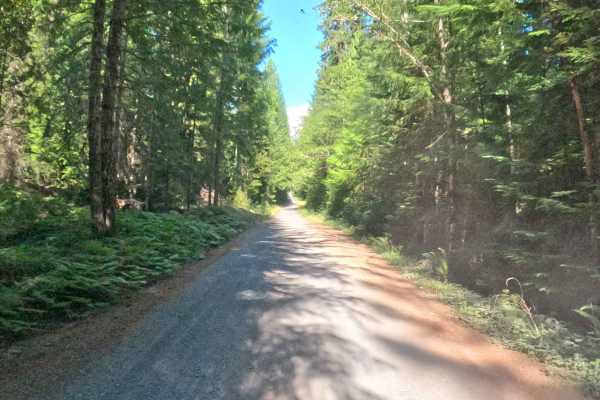
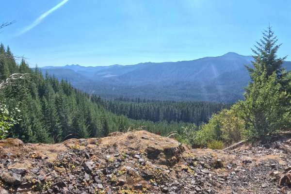
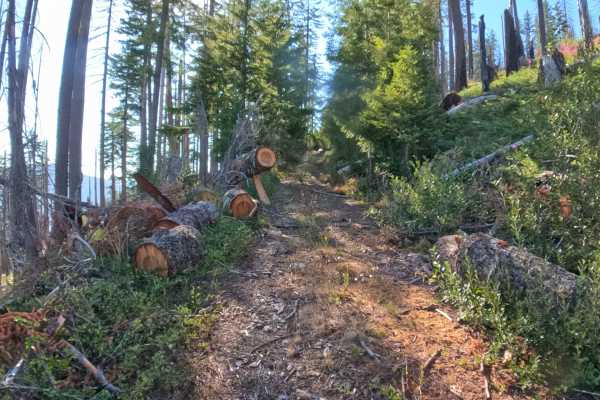
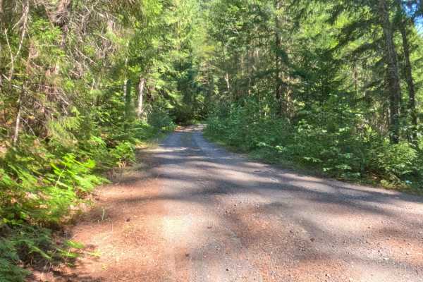
Accessed directly off FS 2246 (Pamelia Creek Road) near the popular Pamelia Lake Trailhead, FS 2246753 is a quiet 1.0-mile out-and-back mountain spur branching into the Cascade timberland. The surrounding environment consists of a dense evergreen forest that gradually transitions into an open burn scar recovering from the 2020 Lionshead Fire in the Willamette National Forest. Outdoor enthusiasts travel this secluded route to explore quiet side spurs, enjoy elevated mountain vistas, or access surrounding backcountry recreation near the Mount Jefferson Wilderness. The driving surface consists of a well-maintained hard-packed gravel road featuring a gentle, steady incline, earning an accessible Grade 2 difficulty rating. Departing the main road, the track maintains a predictable surface free of deep ruts, water bars, or large boulders. As the route climbs into the burned timber section near the top, exposure increases significantly while fallen trees become progressively more frequent across the roadway. The route eventually concludes at 1.0 mile where fallen logs completely block further vehicle progress, requiring a simple multi-point turnaround.
Difficulty
Earning an easy Grade 2 difficulty rating, this 1.0-mile mountain spur features a firm, hard-packed gravel surface with a gentle incline of only a few percent. Technical obstacles, steep ledges, water bars, and deep washouts are completely absent, making the route easily navigable during dry seasonal conditions. The primary consideration along the drive occurs near the upper terminus where fallen trees encroach upon the right-of-way. Drivers should maintain a steady speed up the climb, keep tires centered along the firmest portion of the gravel road, and use an open clearing to turn around before the log barricade.