Trail Overview
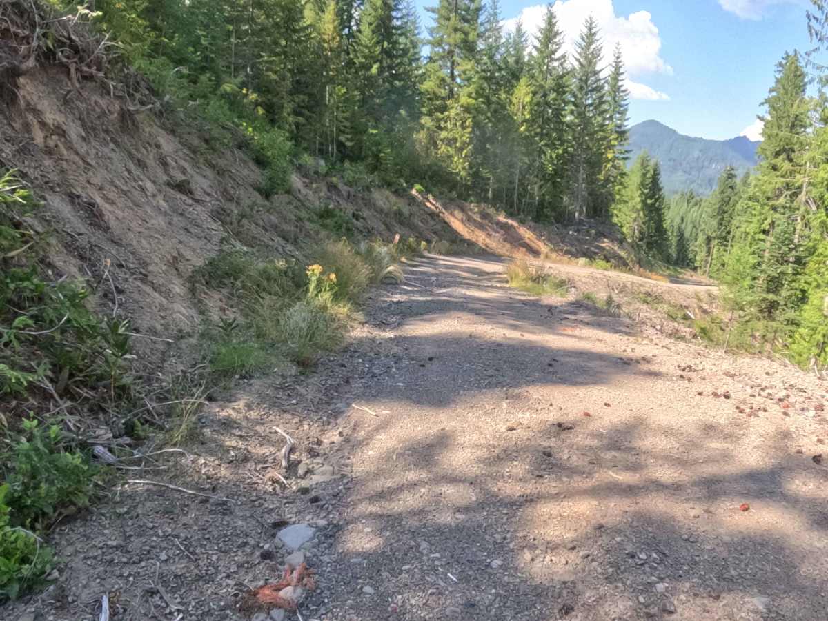
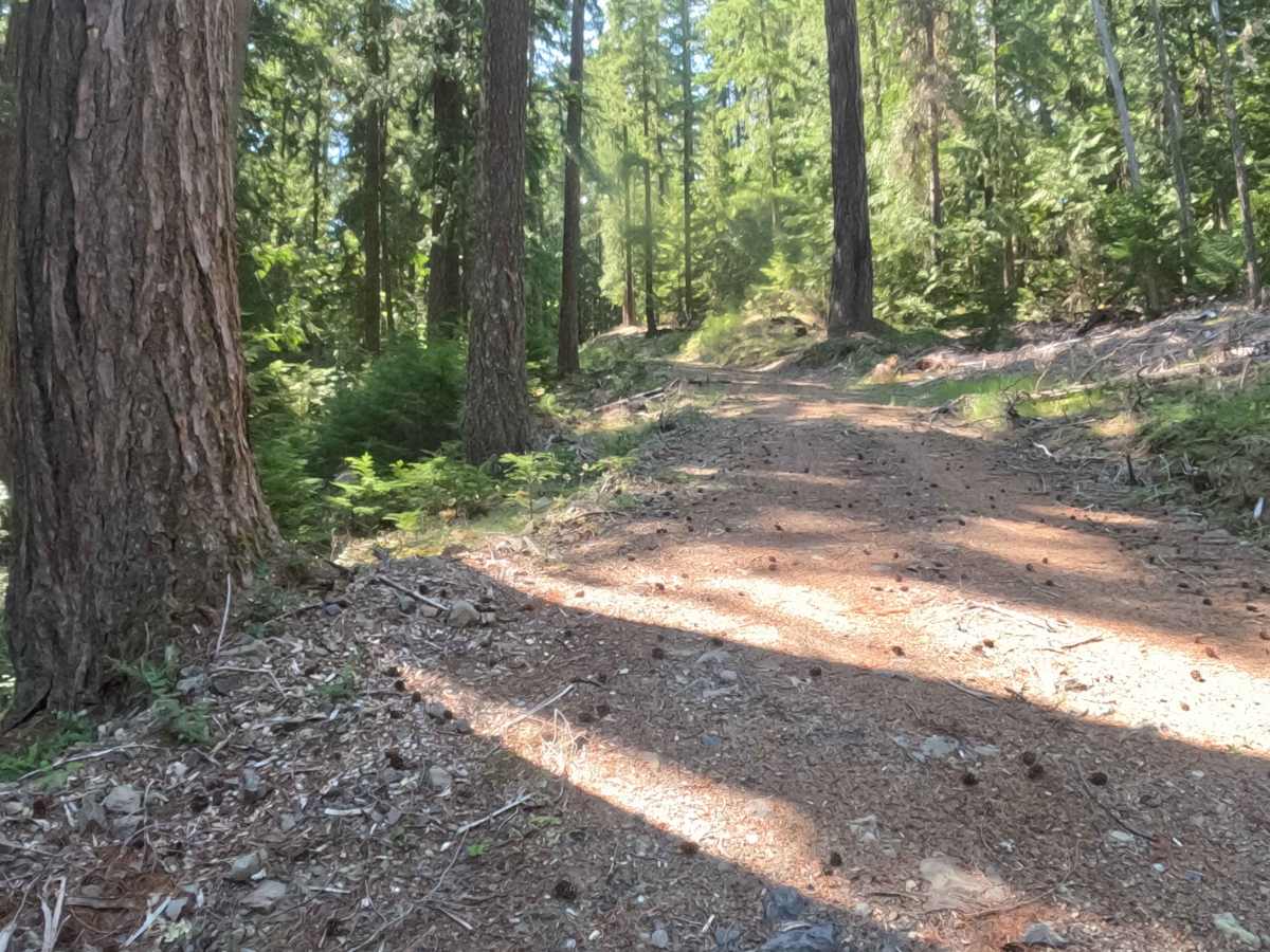
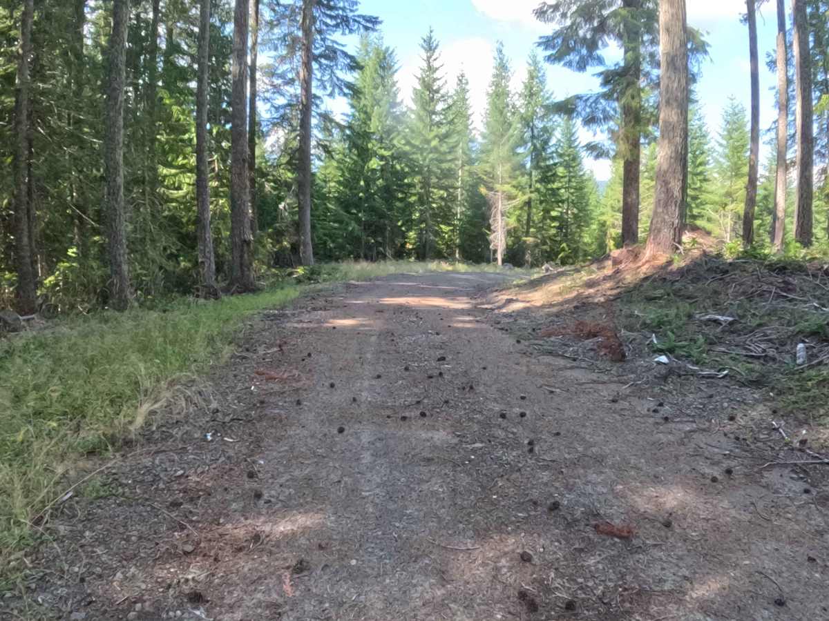
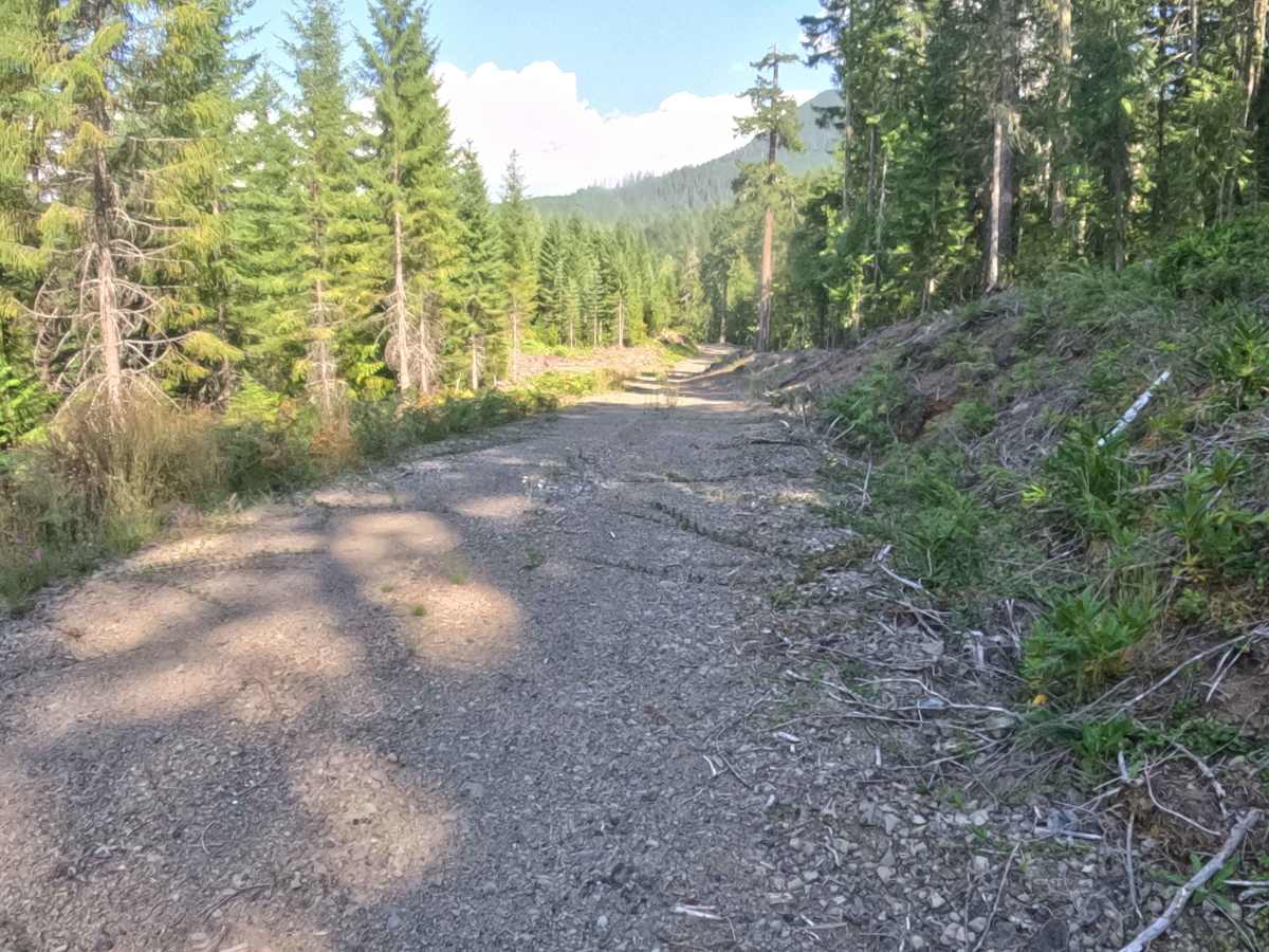
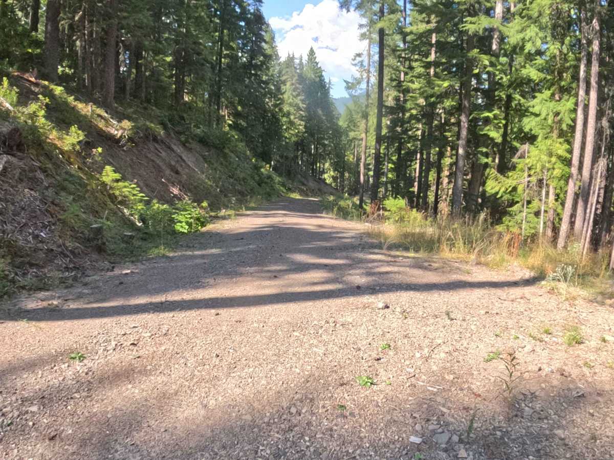
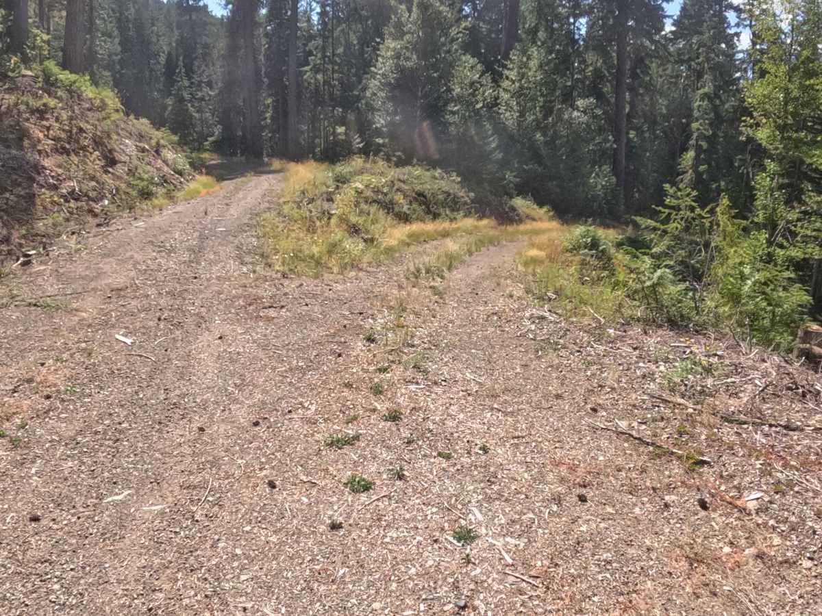
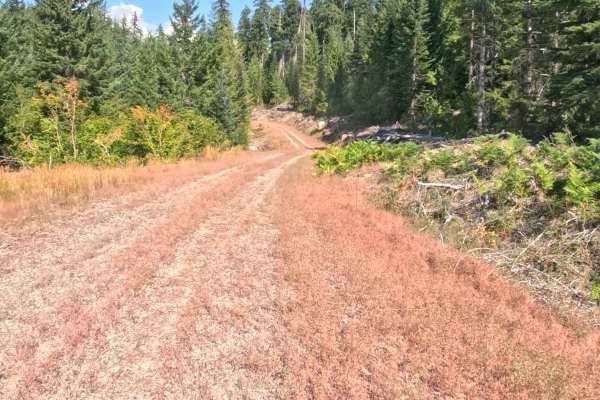
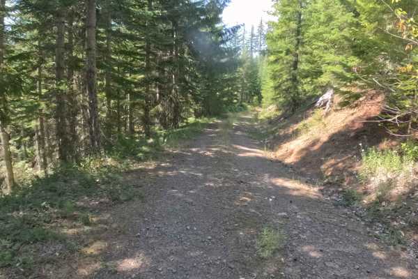
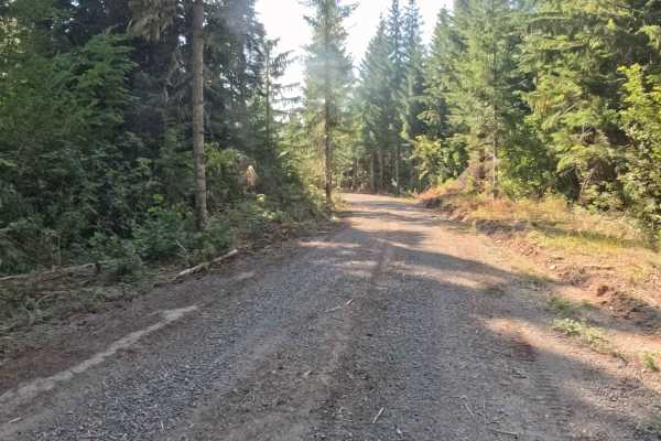
Branching directly off of Deer Toe Road, FS 2047772 is a highly accessible out-and-back forest route set within a recently logged section of the National Forest. This 1.7-mile trail provides straightforward, scenic access into the surrounding mountain landscape, making it a popular choice for sightseers, campers, and outdoor explorers looking to enjoy sweeping valley views. Because the adjacent timber has been harvested, the environment feels remarkably open and bright, allowing for excellent forward visibility with absolutely no tight corners or frustrating blind spots. The driving surface consists of a wide, recently regraded, hard-packed gravel road that ascends and descends at a very gentle grade throughout the entire journey. With a broad footprint providing ample clearance for taller and wider rigs, the route is incredibly easy to follow. Travelers will notice several unmarked secondary dirt paths branching off the main track, so keeping an eye on a map is helpful to ensure you stay on the primary corridor. The trail eventually comes to a peaceful dead end within the open clearcut, offering no loop option and requiring a simple turnaround to exit the forest back toward the starting point.
Difficulty
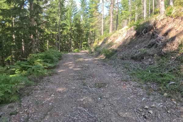
Earning an effortless Grade 1 difficulty rating, this out-and-back route features a flawlessly graded, hard-packed gravel foundation entirely devoid of technical off-road challenges. Deep ruts, intimidating boulders, steep drop-offs, and jarring washouts are completely absent from this exceptionally well-maintained corridor. Thanks to recent roadwork and surrounding timber harvests, the pathway is remarkably wide, free of encroaching brush, and offers an outstanding line of sight from start to finish. The incredibly smooth terrain and gentle elevation changes allow for a relaxed, continuous cruising speed without the need to navigate around obstacles. Navigational awareness is the only minor consideration, as travelers simply must bypass several unmarked intersecting paths to stay on the correct route, ensuring a completely worry-free and highly scenic mountain drive.