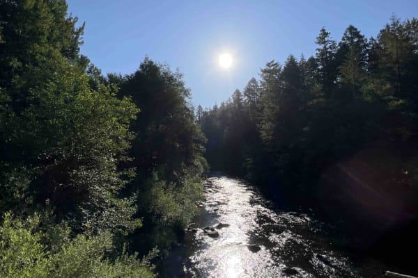
Trail Overview
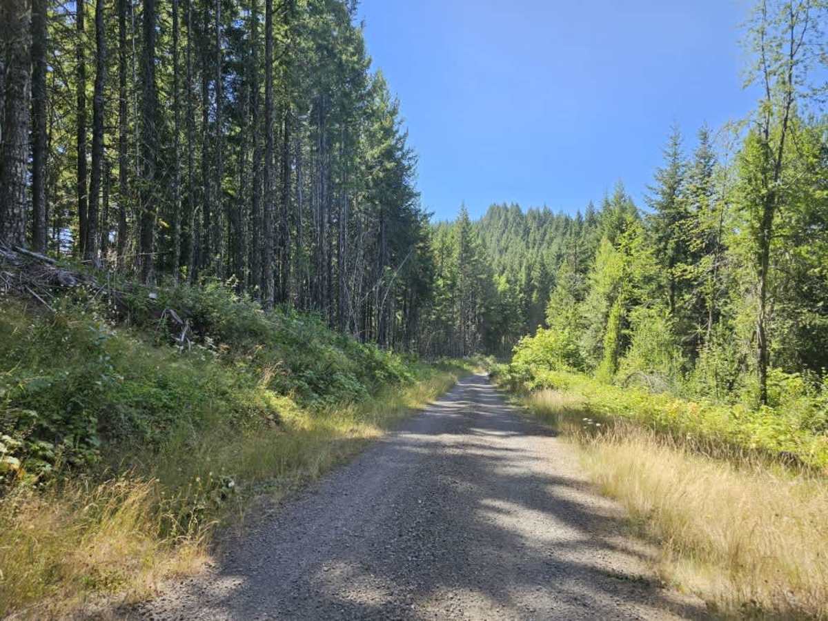
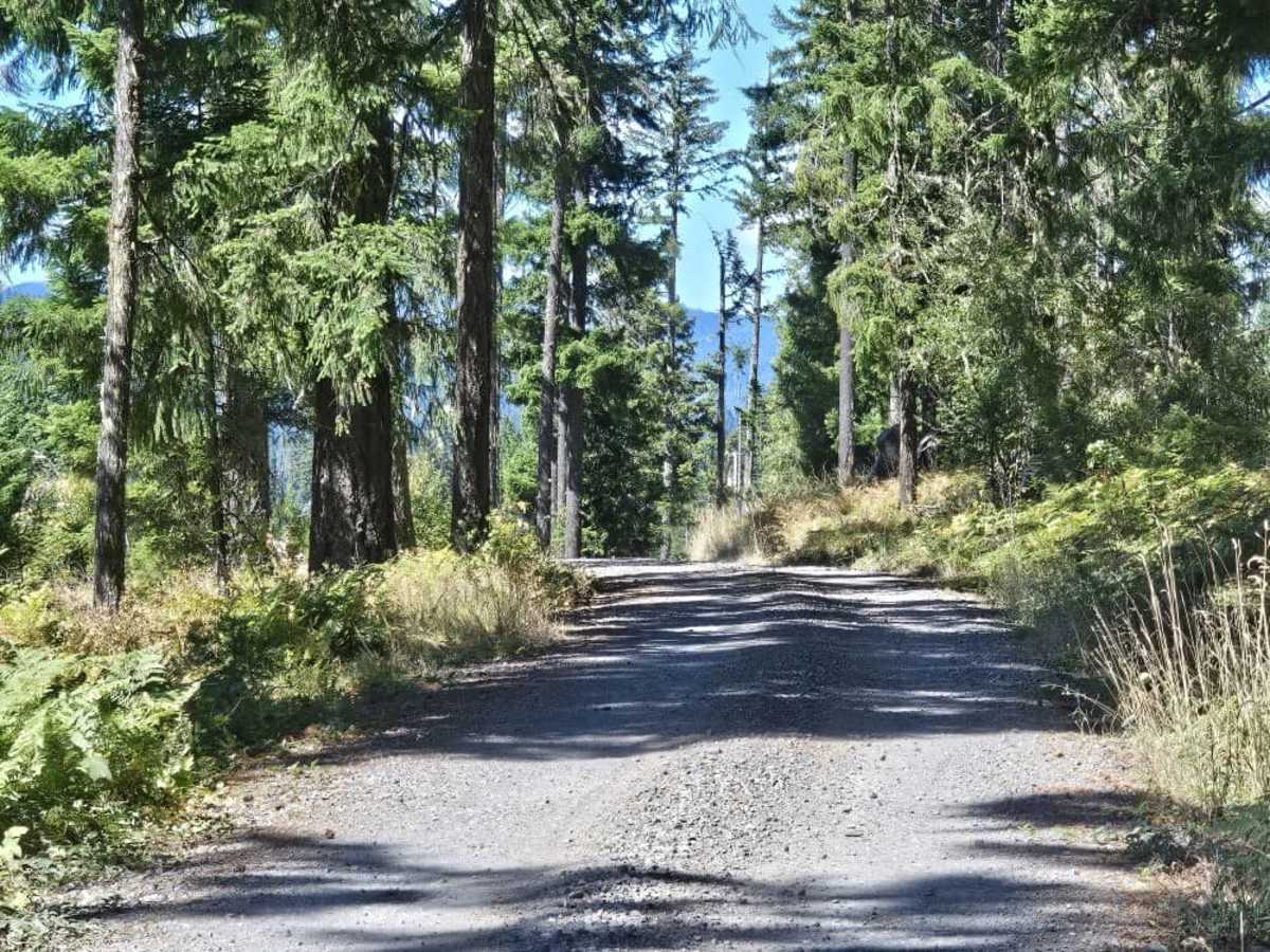
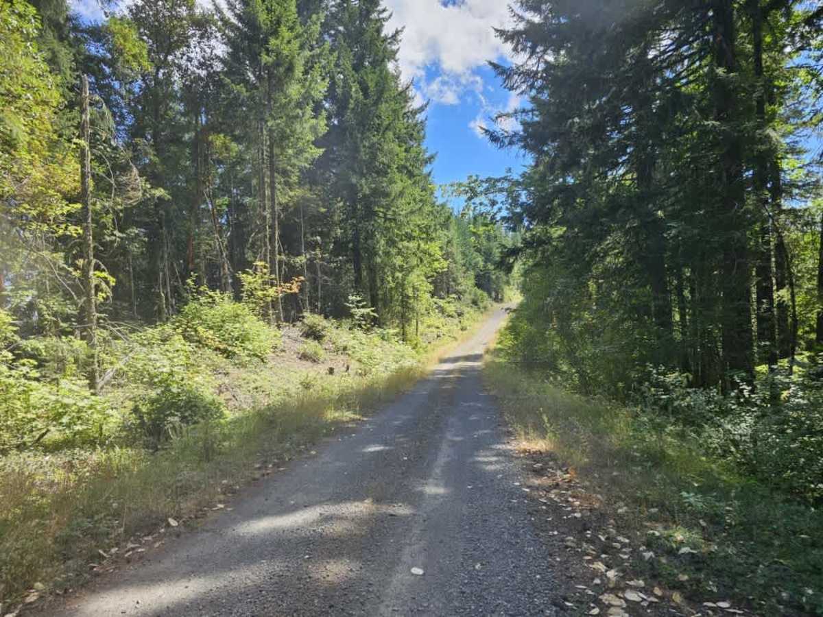
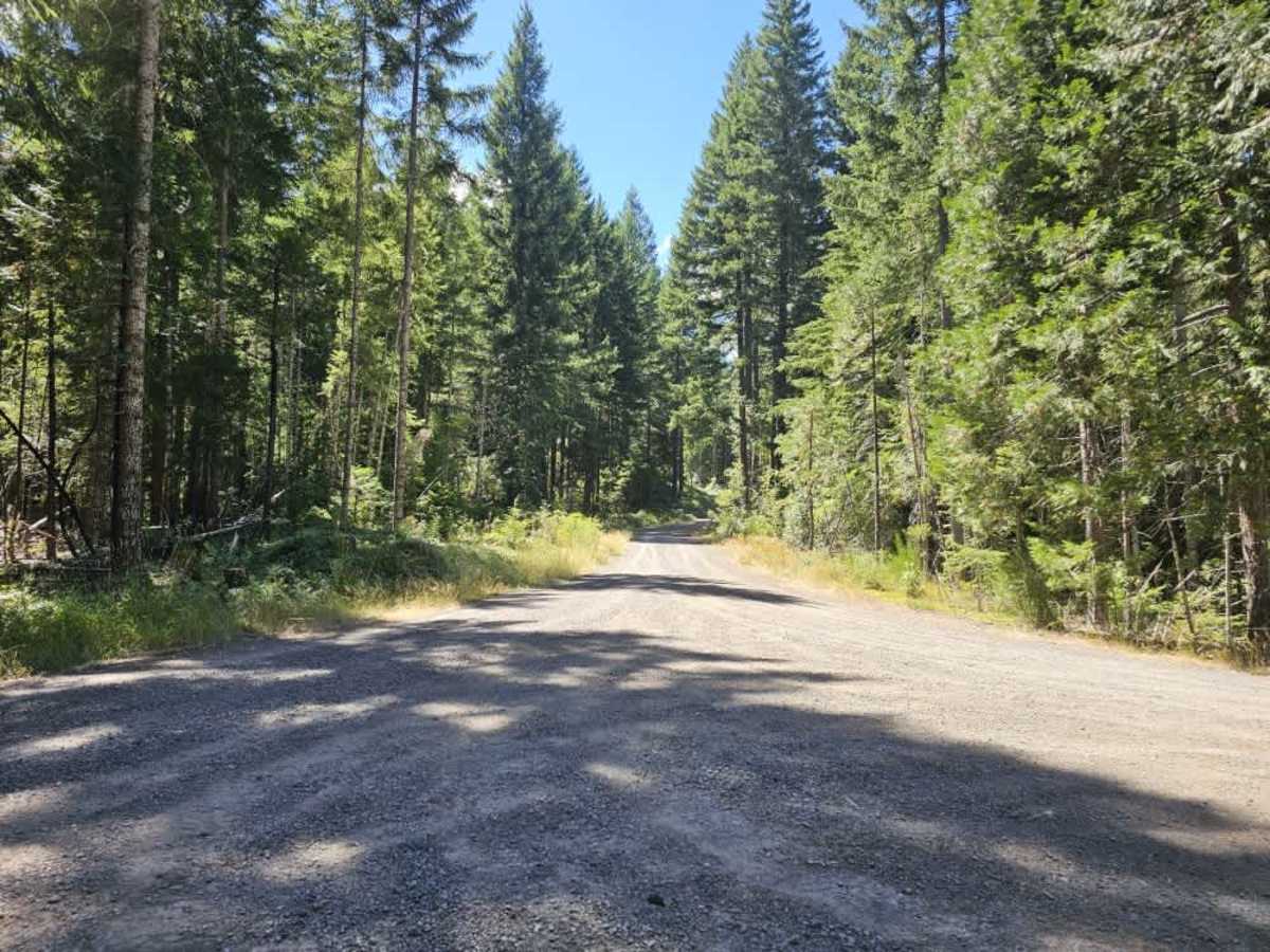
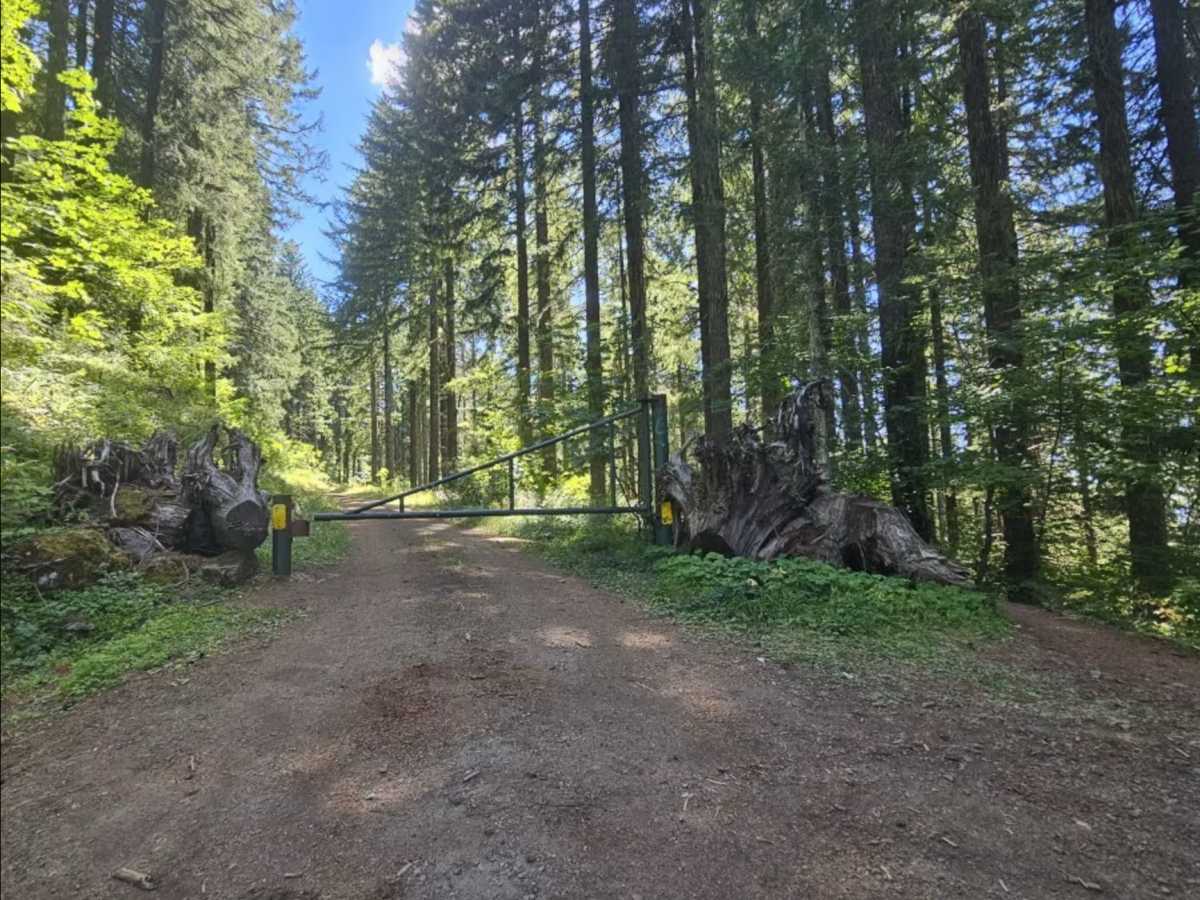
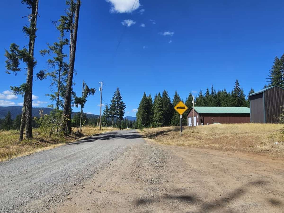
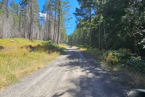
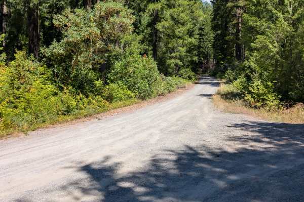
This trail, also known as Dead Mountain Road, winds from the valley near the fire department up to the top of Dead Mountain. The well-maintained gravel road climbs steadily with several steep ascents, descents, and sharp curves along the way. Take care around corners and watch for local traffic, including cyclists traveling downhill. The route offers beautiful mountain scenery and expansive views as you climb. Near the top, the road splits, with one section leading toward a cell tower that is closed to vehicle access. A hiking trail also provides access to the cell tower. Cell service is available near the top, but there are no other facilities along the route. At the bottom near the fire department, signs indicate private property and prohibit parking; vehicles may be towed. Avoid parking in this area and use an appropriate designated location instead. ATVs, UTVs, Side-by-Sides, and Dirt Bikes must always have a valid Oregon ATV Operating Permit sticker.
Difficulty
Steep ascents, descents, and sharp curves make this a moderately challenging gravel road that requires careful driving.