Trail Overview
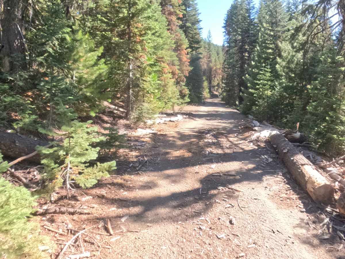
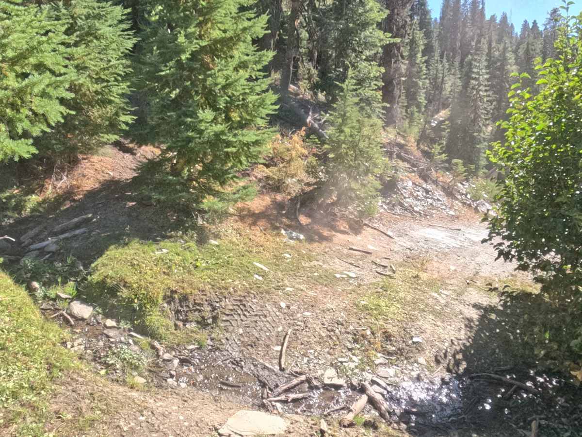
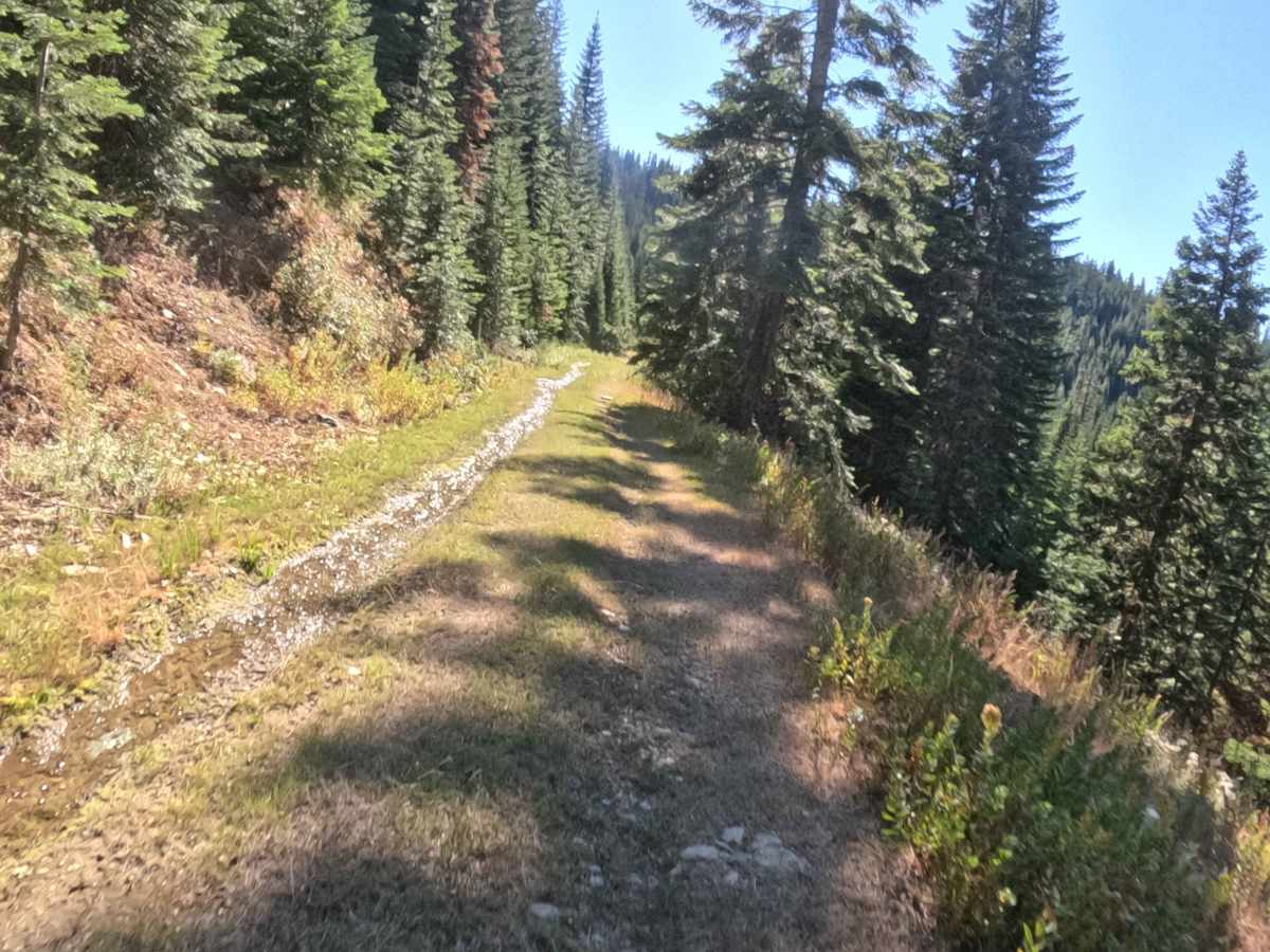
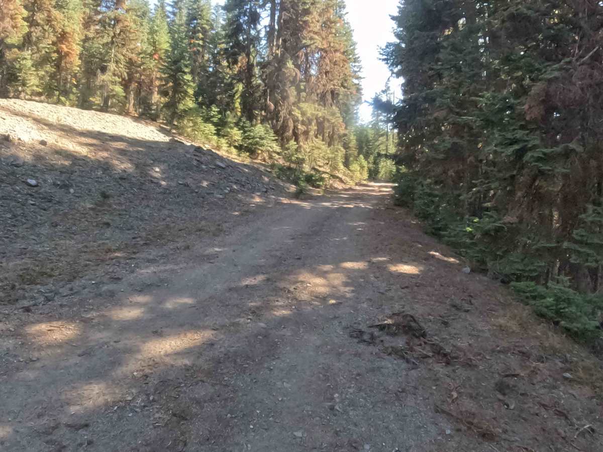
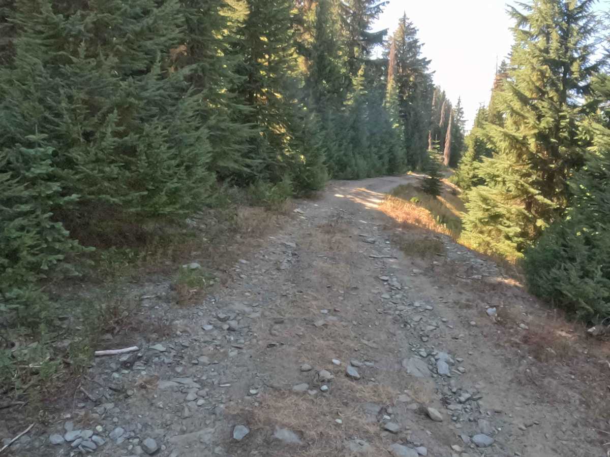
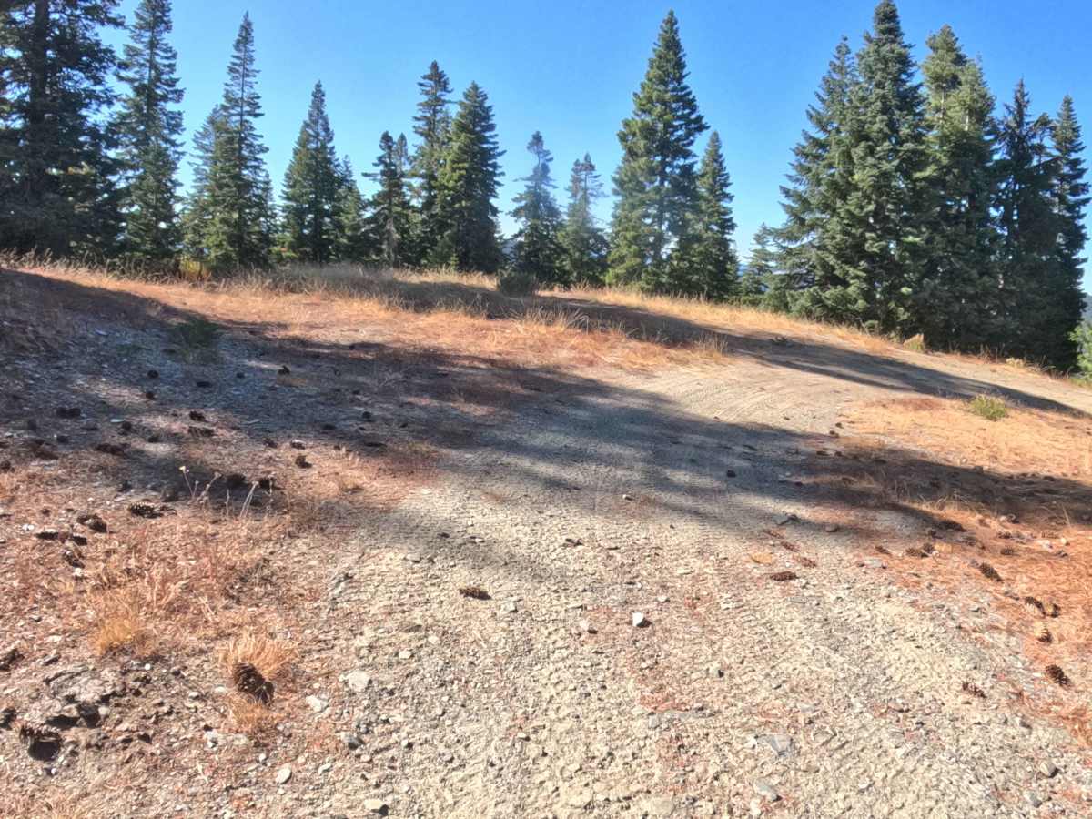
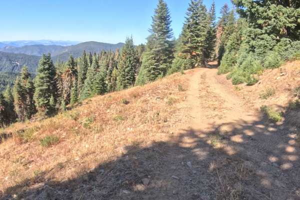
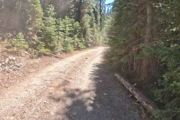
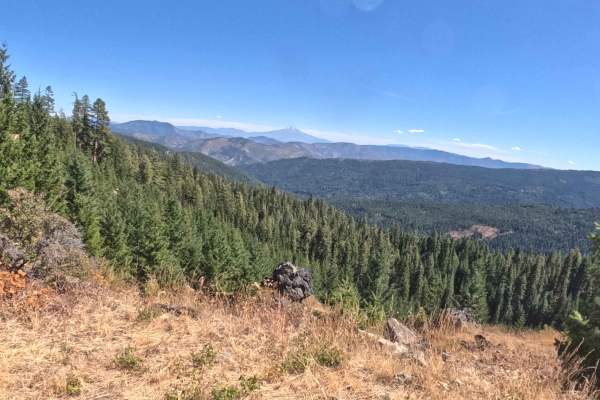
Accessed off primary forestry corridors in the Siskiyou Mountains Ranger District, FS 1065550 serves as a mountain shelf route delivering access deeper into the Rogue River-Siskiyou National Forest. The roadway contours along steep, shale-draped mountain slopes surrounded by a dense mixed-conifer forest of Douglas firs, incense cedars, and leafy undergrowth. Recreators, backcountry drivers, and seasonal hunters utilize this elevated corridor for scenic mountain travel, nature observation, and reaching quiet backcountry areas near the Siskiyou Crest and Red Buttes Wilderness network. Because popular footpaths in the surrounding basin attract outdoor enthusiasts, drivers should remain watchful for hikers and foot traffic near forest junctions. The driving surface consists of a hard-packed gravel and shale roadbed holding a Grade 2 difficulty rating. Featuring seasonal stream run-off flowing directly across the tread into late summer, along with one- to two-foot-deep washout trenches along the margins, this scenic mountain track provides a rewarding journey through the high country regardless of travel direction.
Difficulty
This mountain shelf road offers a firm gravel and shale base with distinct surface erosion considerations. Severe off-road hazards like impassable boulder fields, steep rock ledges, or deep mud bogs are absent along the route. The primary obstacles include 1- to 2-foot-tall washouts carved along the road edges and crossing the tread, as well as seasonal streams that flow over the surface well into late summer. Additionally, fallen trees and brushy foliage along the cut bank narrow the travel lane and restrict visibility around bends. Choosing a careful driving line around washout channels and easing through running water ensures consistent traction, while standard factory ground clearance is entirely sufficient to complete the drive safely.