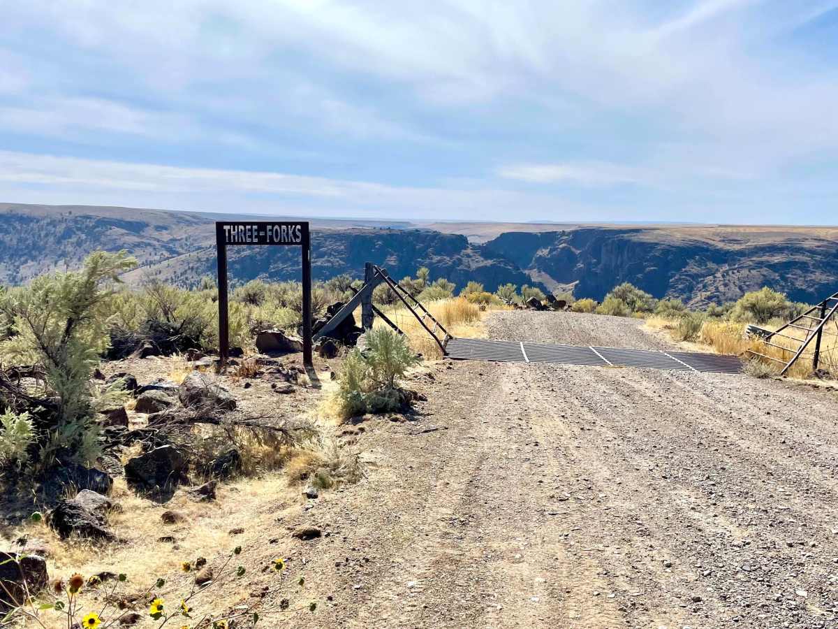
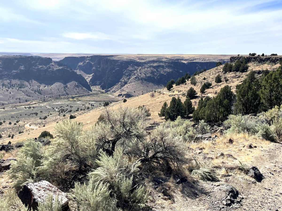
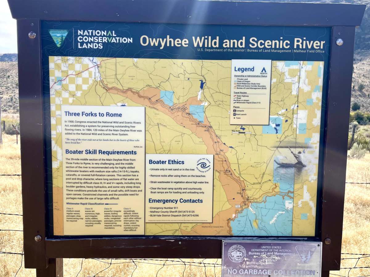
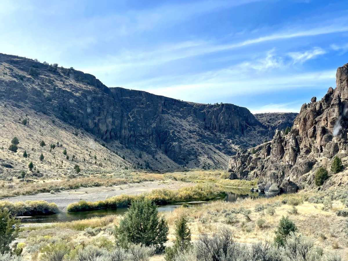
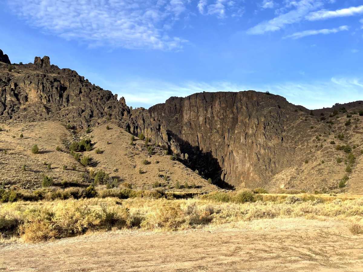
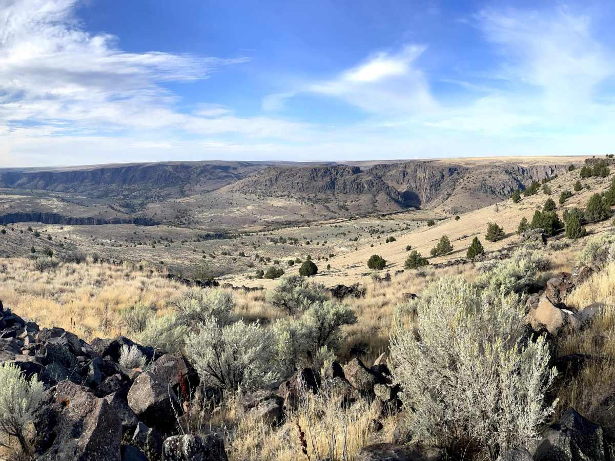
Trail Overview
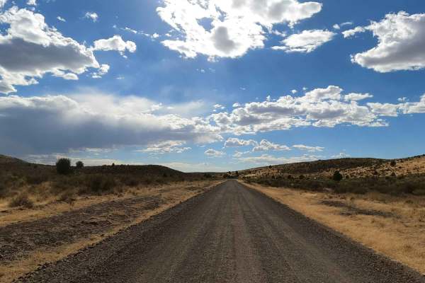
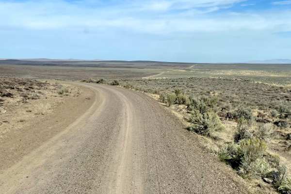
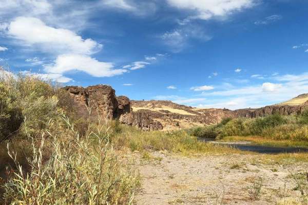
Four-wheel drive and high clearance are recommended for this rocky road with an average 10 percent grade, though skilled drivers in high-clearance two-wheel-drive vehicles may still manage it. Lowering tire pressure is strongly advised. The road descends to the Three Forks Bureau of Land Management Campground, which features a single vault toilet and no additional services. Cell service is available at the top but nonexistent at the bottom. Campsites are few yet highly scenic, serving as the launch point for rafters entering the Owyhee Wild and Scenic River Canyon. A 1.8-mile trail leads to hot springs located on the far side of the Three Forks Dome.
Difficulty
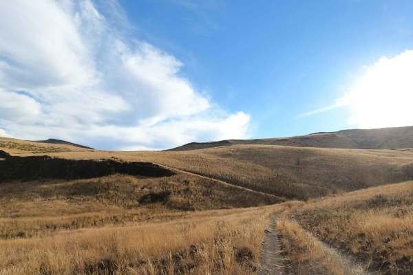
This route features numerous rock gardens, ruts, and sandy stretches that require careful navigation. The switchbacks are tight and not suitable for trailers or long-wheelbase vehicles. Opportunities to pass oncoming traffic are limited to short spurs outside the switchbacks. The grade ranges from 8 to 12 percent, with loose rock present on the steeper sections.
History
The story, as told to me, is that this is part of a road constructed in the 1880s from Winnemucca, Nevada, to Silver City, Idaho. In the canyon area, the road was constructed by Chinese Laborers, whose work can still be seen in the rock ledges and footings for bridges across the Ohwyee River. I was also told that this was the last holdout for a small band of Paiutes who took refuge in Three Forks Dome and fought it out with early settlers.