Trail Overview
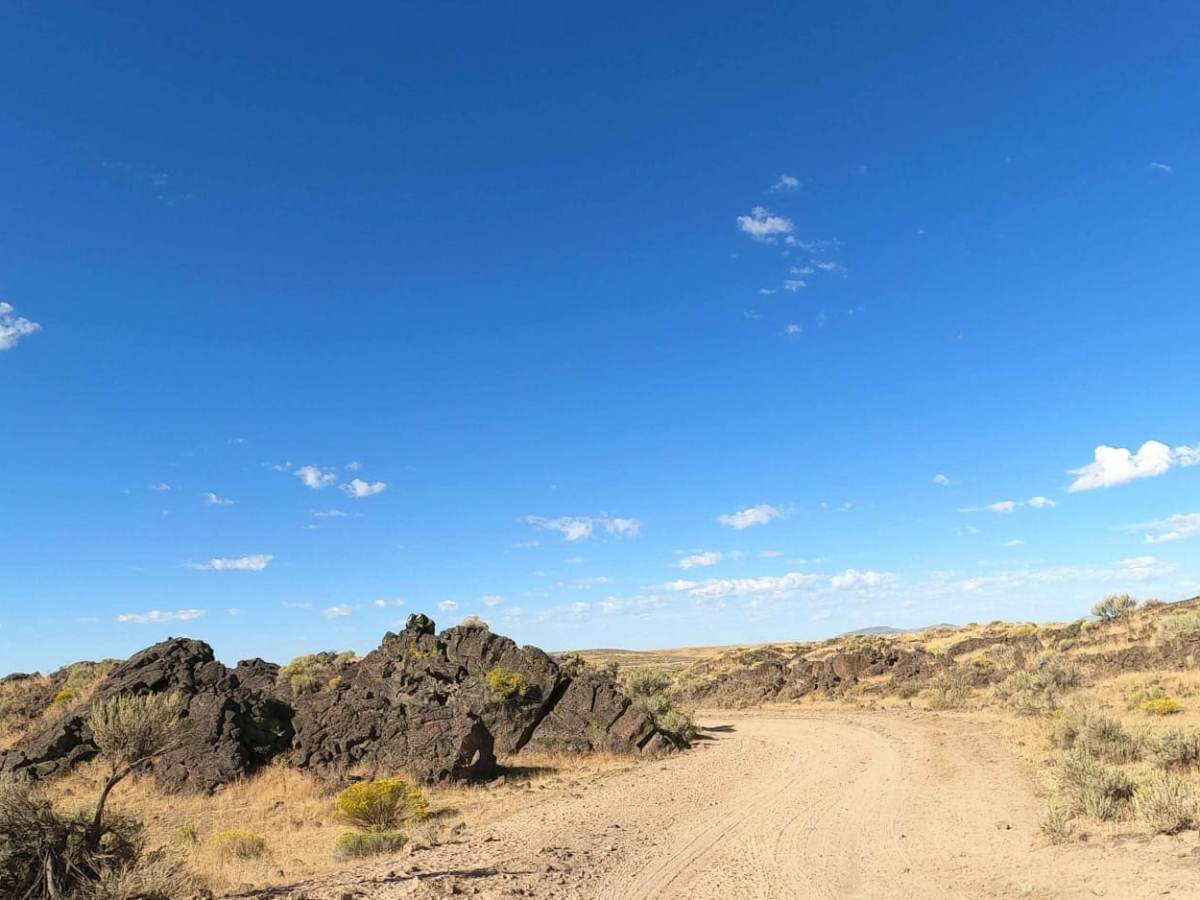
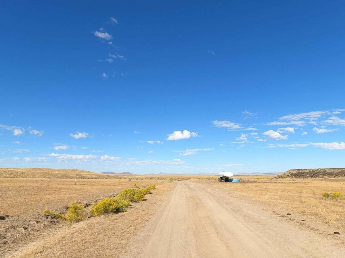
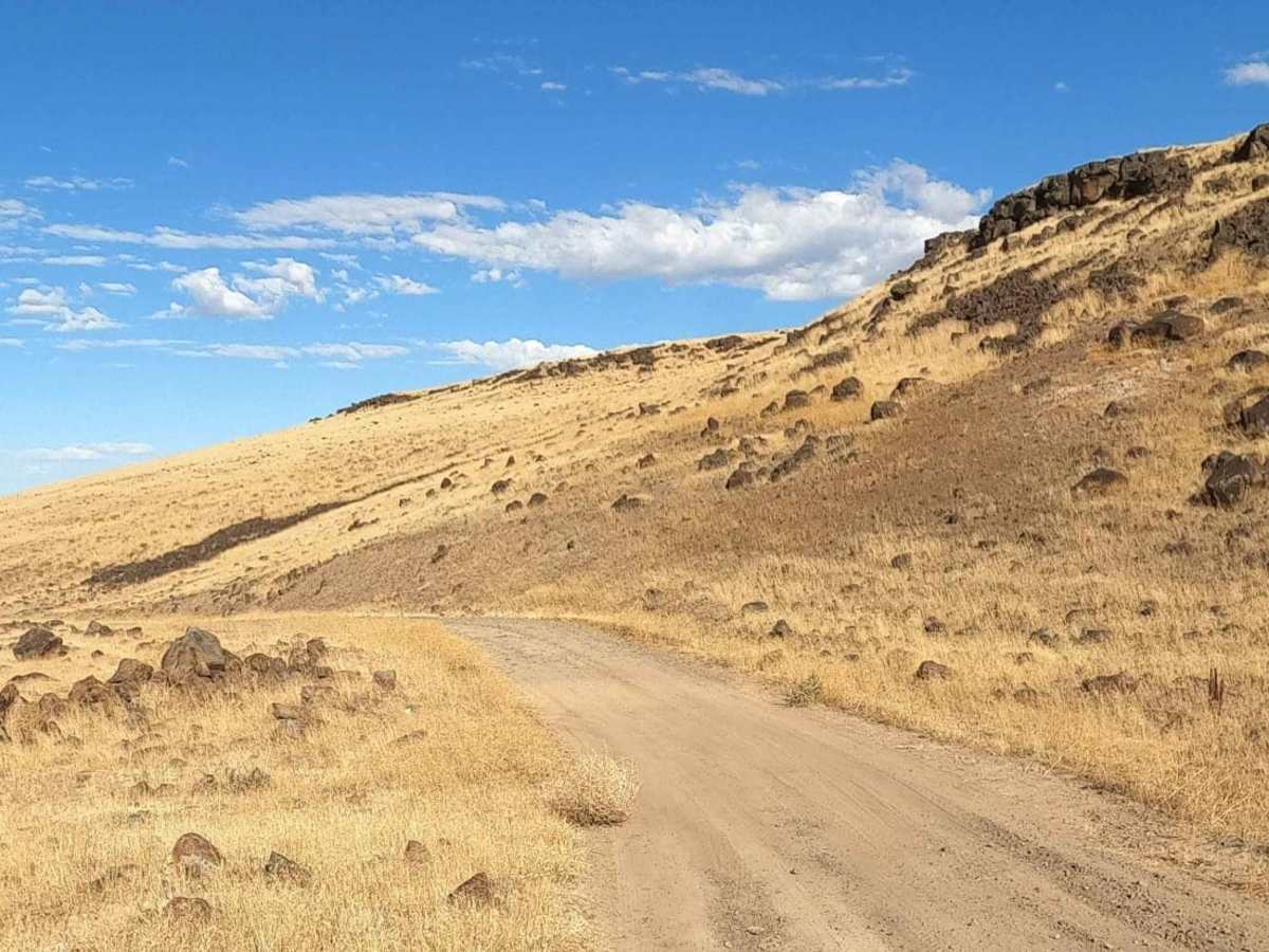
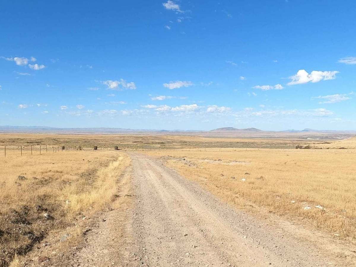
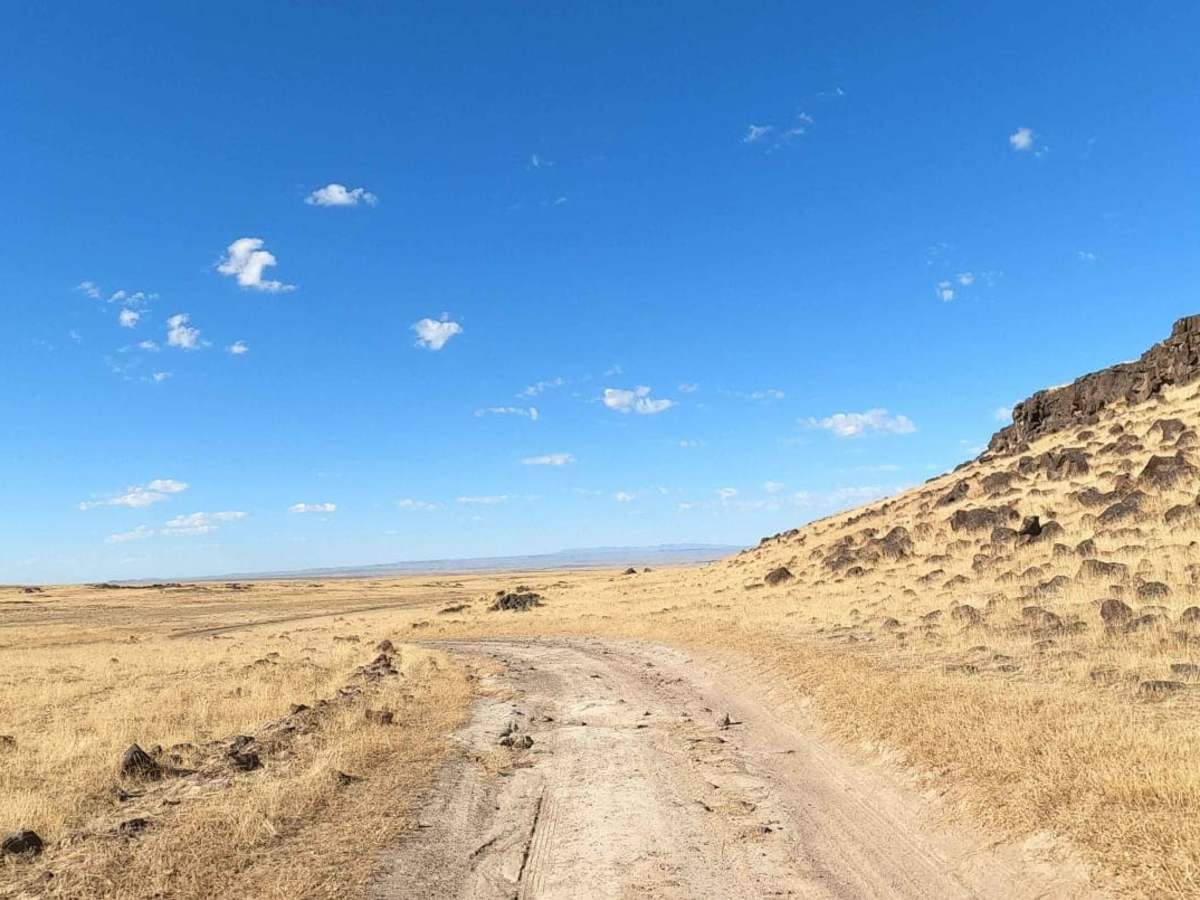
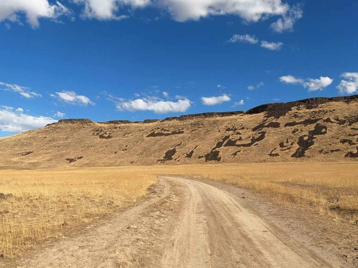
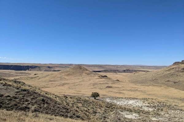
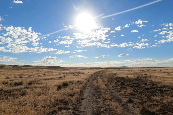
The Bogus Bench Trail is a rugged and scenic 10.6-mile point-to-point route designed for high-clearance four-wheel-drive vehicles and SxSs looking to explore the remote and raw landscapes of southeast Oregon's Owyhee country. Starting near Mud Lake at an elevation of 4,319 feet, this rough, twisty, and often rocky dirt track winds along the base of Bogus Bench and Bogus Rim, offering dramatic views of the surrounding volcanic canyons and plateaus. The trail features a mild technical rating of 3, but the extreme isolation of the area requires careful preparation, as help is far away and cell service is virtually non-existent. Travelers must carry ample fuel, water, and recovery gear to safely navigate this remote wilderness corridor.
As the route descends to 3,683 feet toward the Lower Owyhee Canyon Wilderness Study Area, it briefly parallels and merges with Bogus Ranch Road before continuing toward Bogus Falls. The local soil contains extremely high levels of silica, which creates a fine, powdery dust during the dry summer and fall months that easily penetrates vehicle cabins. When wet, this dirt transforms into a treacherous, highly slick clay that adheres to tires and dries to a concrete-like hardness, making the trail impassable even for capable four-wheel-drive vehicles. Offroaders should avoid this trail during or immediately following rainstorms to prevent becoming stranded in a highly remote region.
Access Description
Accessing the remote Owyhee region requires total self-sufficiency. Visitors must bring extra fuel, water, and spare tires, as there are no services, water sources, or reliable cell signals nearby. The trail is highly sensitive to wet weather; when wet, the high-silica dirt becomes an extremely slick and sticky clay that can easily strand vehicles. Travel should be strictly restricted to dry seasons.

 Offroad