Trail Overview
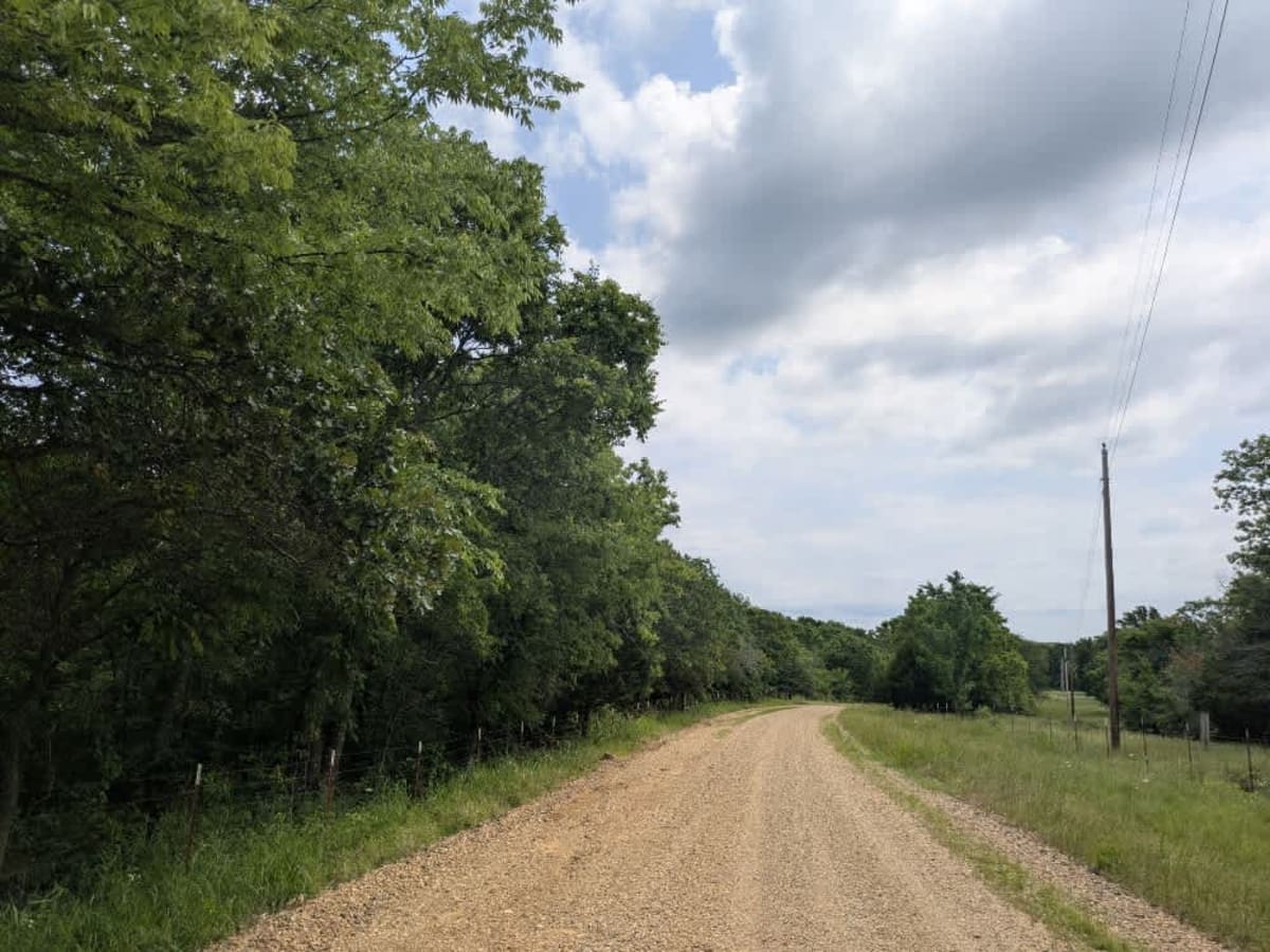
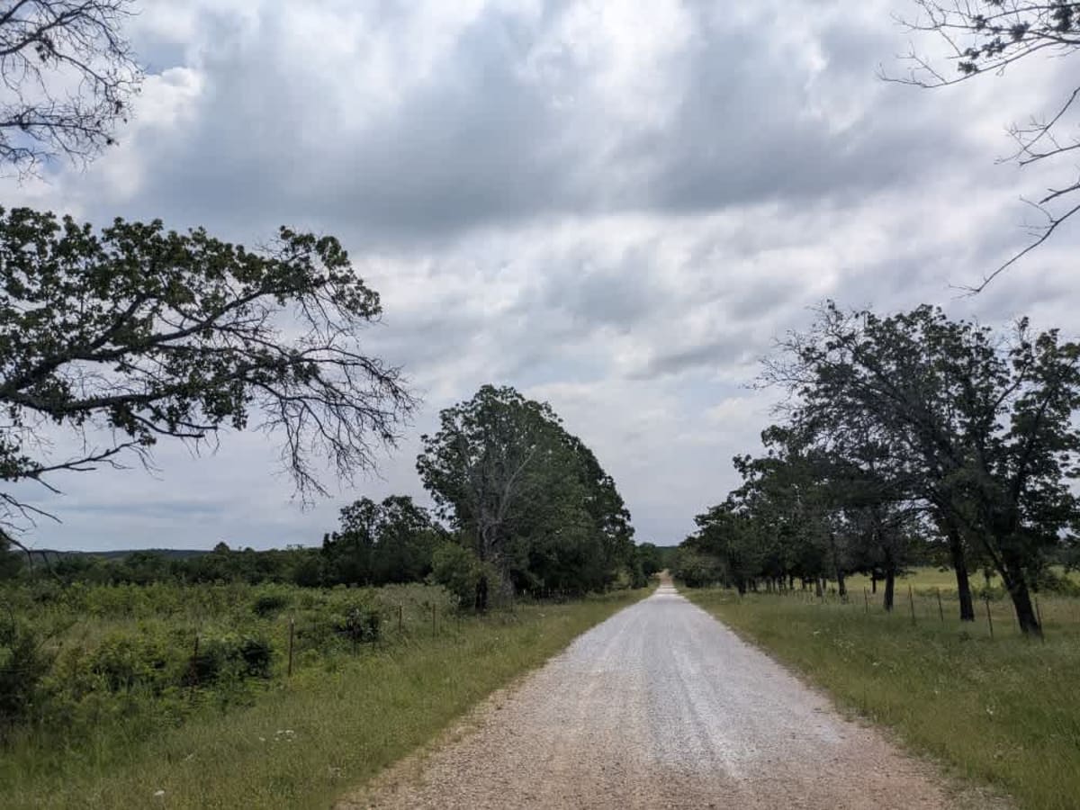
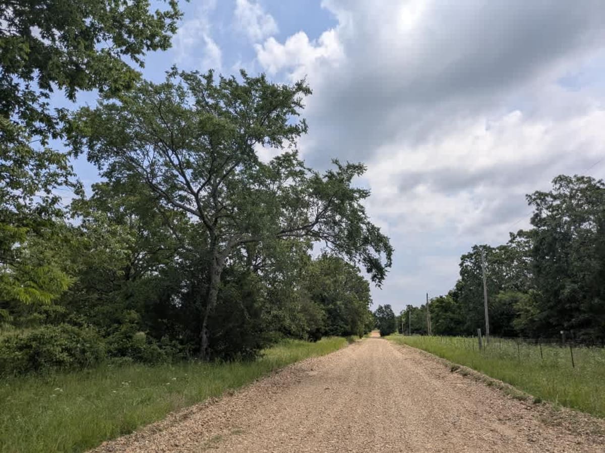
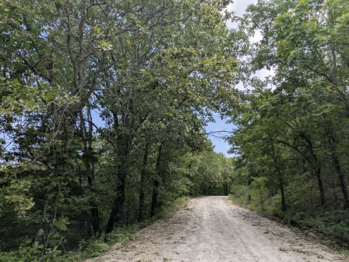
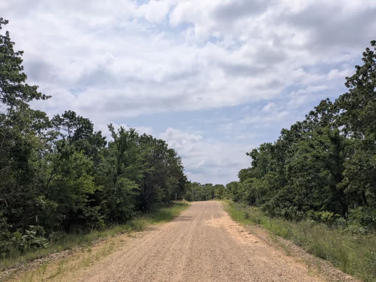
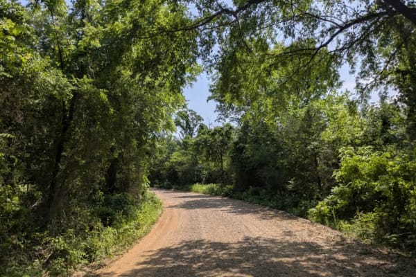
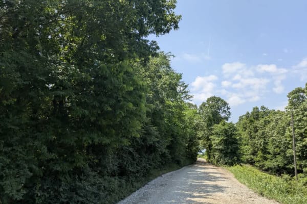
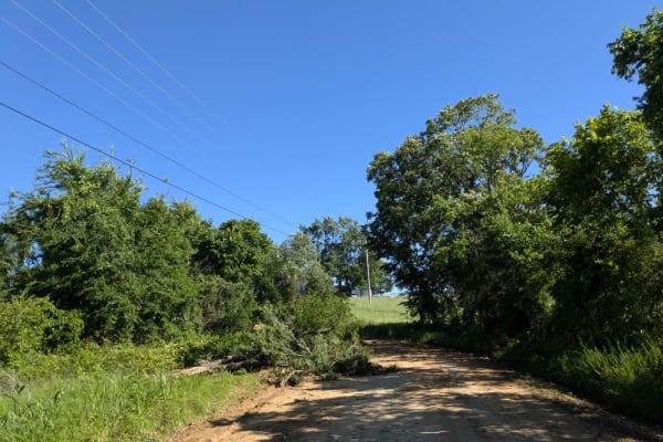
The track starts out with loose gravel that chatters beneath the tires, then ripples into stretches of washboard and the odd pothole to keep drivers alert. It rises and falls across patchworked farmland, threading between wooded pockets and wide-open fields, with frequent climbs that reveal clusters of tidy homesteads before ducking back into shade. Despite the inviting scenery, this is strictly a drive-through experience: there are no established or wild campsites, no trash bins, and no water taps. Cell coverage fades unpredictably, so it is wise to check your onX map before setting out.
History
The Oklahoma Adventure Trail unfolds as a patchwork of county lanes, forest roads, and forgotten byways that knit together the state's eastern hills and river bottoms into a single, meandering drive. Much of the route drifts across loose-gravel farm tracks where washboard sections, shallow potholes, and the odd stretch of corrugations keep the steering wheel busy. In pasture country, the trail often threads between tidy homesteads and hayfields, so pickups, tractors, wandering livestock, and even the occasional basketball game at a roadside hoop are part of the scenery. Water is a recurring companion, whether a broad, submerged bridge that leads into a rough ascent, or the shaded creek crossings where turtles and snakes warm themselves on the verge, and spring storms can turn those crossings into obstacles in a matter of hours.