Victor Sol
Dec 16, 2025
Open
NormalMuddy/Wet
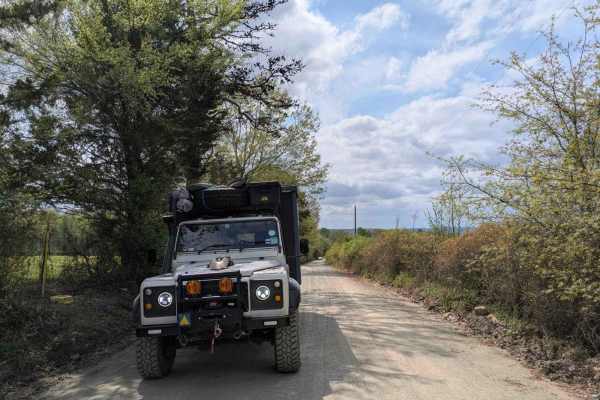
Be ready for pinstripes!
jordan buchanan
Dec 05, 2025
Open
Muddy/Wet
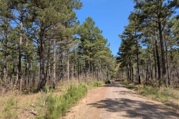
Clear AF ready for action
Rzr Rod
Oct 19, 2025
Obstructed
Downed Tree
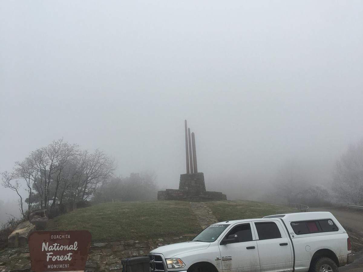
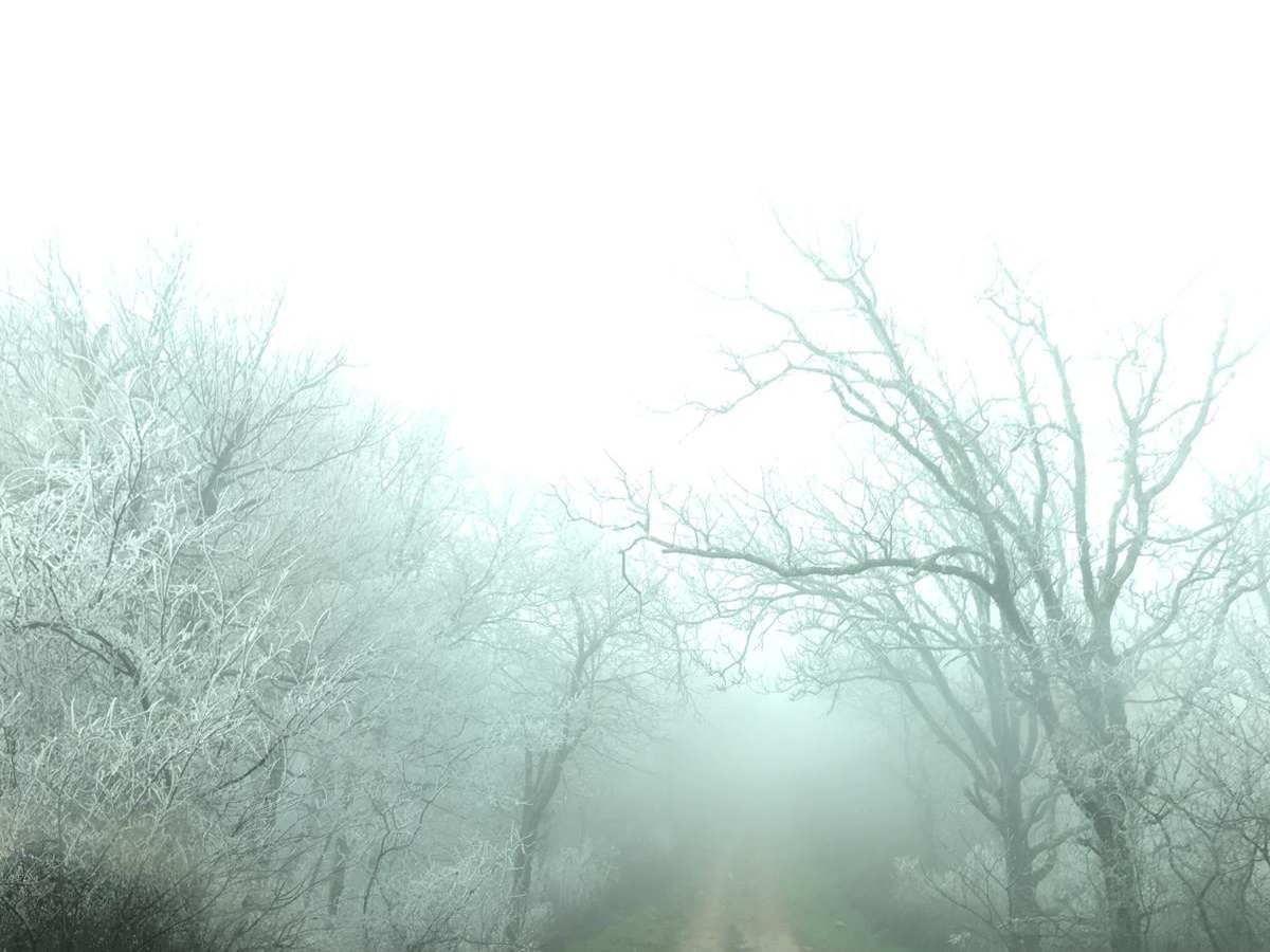
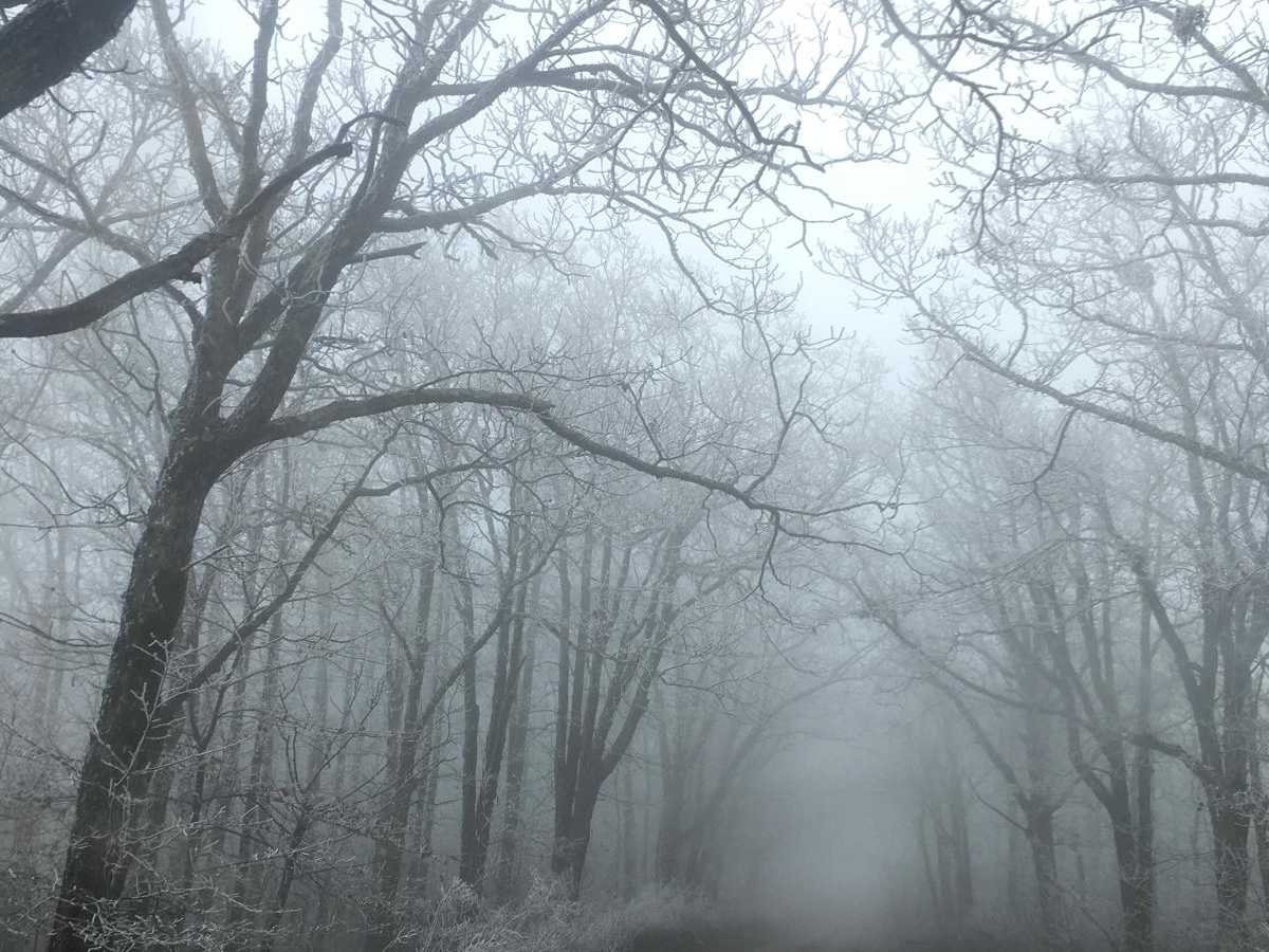
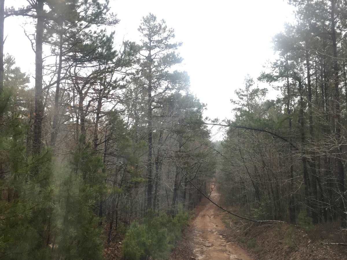
Started at 3 stick monument, headed East on K-Trail and only made it 8 or so miles before getting turned around due to multi-trunk oak tree fell over blocking the road, right at a dispersed camping site. Would have needed 30+ min with a chainsaw to clear passage. Lots of 2ft+ washouts and rocks. Fun trail I plan to try again in the future.
Eli Kemmet
Oct 11, 2025
Open
NormalDusty
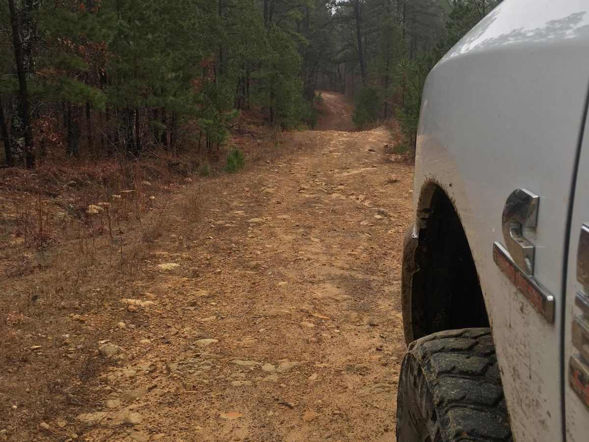
This trail is easily a 4 probably a 5 with the severity of the washouts on the south side. We did this with a 4runner, landcruiser, and gladiator no problem. No spotting was needed, lockers highly recommended though it could be done without. Pin striping is a guarantee, worse than the Ozarks. Overall, really enjoyed the trail and will likely do again in the late fall/winter.
N Taylor
Sep 08, 2025
Open
The tree near the North trail head has been cleared. This trail is probably a 4+ simply because it seems to go on forever without letting up. It’s exhausting, so take your time. I was racing sunset, so I was rushing a bit.
Nathan foudray
Aug 29, 2025
Obstructed
Downed Tree
Two downed trees between north trail head and 3 sticks. Only had my axe so chopped off all the higher stuff and winched it out of the pile. Was able to cross on 33s with minimal pucker but reccomend anyone with less ground clearance to bring a chainsaw
lane thomas
Aug 15, 2025
Obstructed
WashoutDowned Tree
Lots of wash out none of the mud holes were deep lots of down trees large rocks very slow pace trail very fun i recommend a friend or sat phone most of the trail has no service i ran alone over night very enjoyable 3 inch on 33s and i scraped skids most of the time definitely not low clearance friendly very over over grown if you don’t like scratches i wouldnt do it right now encountered one down tree my jeep barely went under other then that main thing was deep wash outs and large rocks have fun!
Zech Swendsen
Jul 11, 2025
2024 Yamaha Tenere 700
Open
NormalRough/Deteriorated
Significant sections of this trail are so overgrown that you cannot see more than 5 feet in front of you. I rode this trail on my Tenere 700 and my friend rode is Honda Africa Twin. This trail is a beating on full size adventure bikes. The rock climbs are long, the soft mud is soooffftttt, and there are few places for a break.
We started at CJ's Corner Store and finished at Three Sticks Monument. This route took us all of 5 hours to complete on big bikes.
Jordan P.
Jul 04, 2025
2017 Toyota 4Runner
Open
DustyMuddy/WetRough/Deteriorated
Started at the beginning, down the mountain from 3 sticks. First few miles are tame but bumpy with some overgrowth. After 3 sticks it gets progressively more washed out. Some rock gardens that were stable but bumpy, then a handful of mudpits, mostly hard bottom but 1-2 were pretty soft, most were under 12” deep. After that it gets exceedingly overgrown, lots if pin striping. Trail was notably harder than the “easy” its graded as but nothing too challenging just bumpy. Took about 4hrs.
Sonny Hale
Jun 14, 2025
Obstructed
Downed Tree
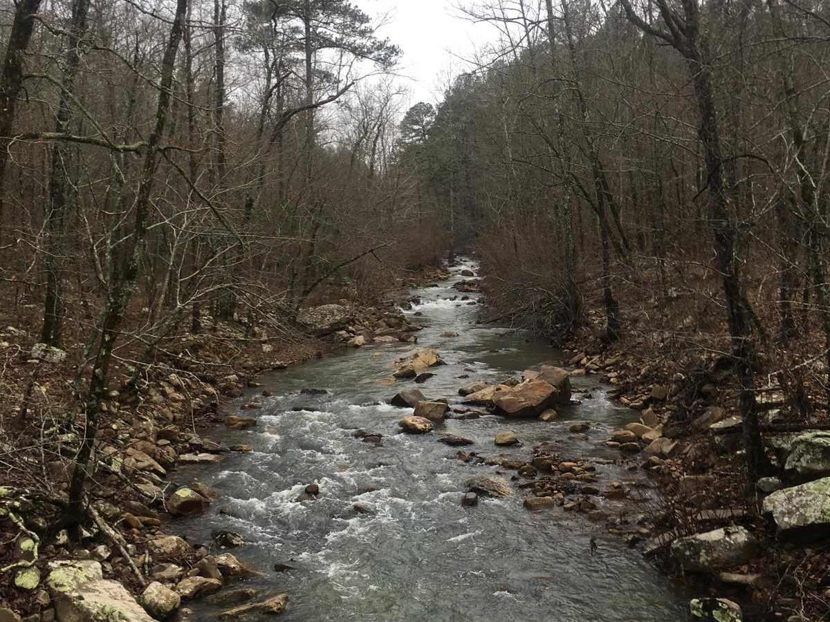
Tree blocking trail just before Walnut Creek.coming from the south end. We only had a small chainsaw and the way it fell we couldn't winch it from the south.
Leroy Palmer
May 30, 2025
Open
Rough/DeterioratedMuddy/WetWashboard
blaze fuller
May 25, 2025
Open
Rough/Deteriorated
One start point of the trail is not maintained
Jason Clatt
May 24, 2025
Open
NormalRough/Deteriorated
Trail is very overgrown and for the most part is easy but the rock ledges are getting pretty steep. The off camber sections are not too bad but would be if you’re top heavy. All the water erosion is creating some really cool fun crossings but if you don’t have a locker you’ll have to pick your line very carefully. Again the trail is extremely over grown so if you value your paint best not do this trail
Matt Shannon
May 24, 2025
2023 Nissan Frontier
Open
Muddy/Wet
Rain had the branches hanging low, but even the rain did not affect how tight this was in many spots. The soggy branches were a little easier on our paint than if they had been dry, but expect pinstripes for your paint. We had a GX460, Bronco Sasquatch, and Frontier Pro4x. I wouldn’t venture through here with a full sized vehicle. It could be done in stock height, but expect rock scraping on your skid plates. 5 hours is the time commitment with a couple of breaks. The only other traffic we saw was a group of about 10-12 side-by-sides.
Cody Cochran
May 10, 2025
Open
NormalRough/Deteriorated
Rocky trail, with lots of washout off camber sections making it a fun slow long ride down this 36mike track. A few camp spots make for a good break or and over night stay just after beech creek turn off. Ran into a downed tree towards the SE side of the trail but was passable with caution would rate a 4/5.