Kimble Ridge

Total Miles3.8
Technical Rating
1Easy
Best TimeSpring, Summer, Fall, Winter
Trail TypeFull-Width Road
Accessible By
Open Trail Map

Trail Overview

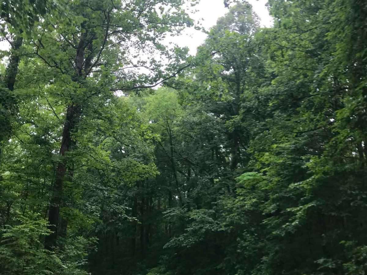
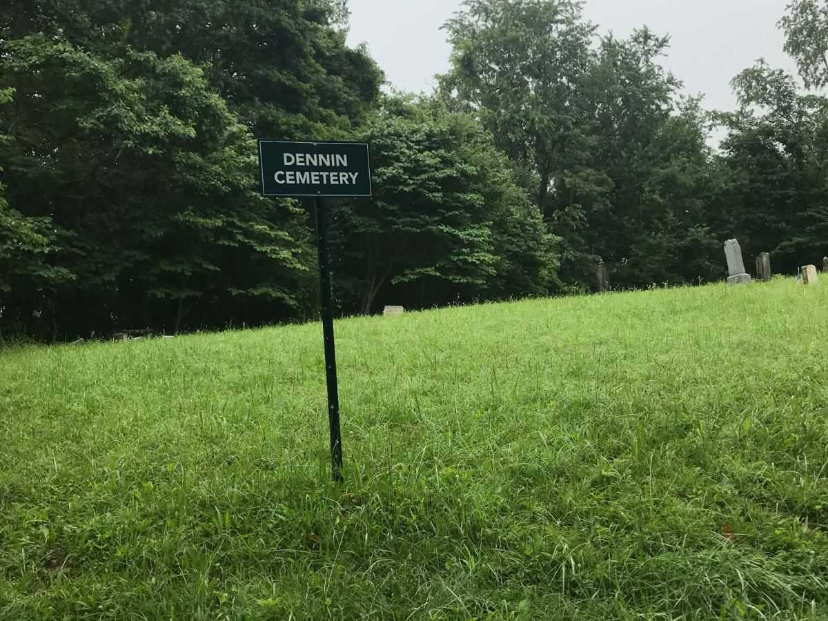
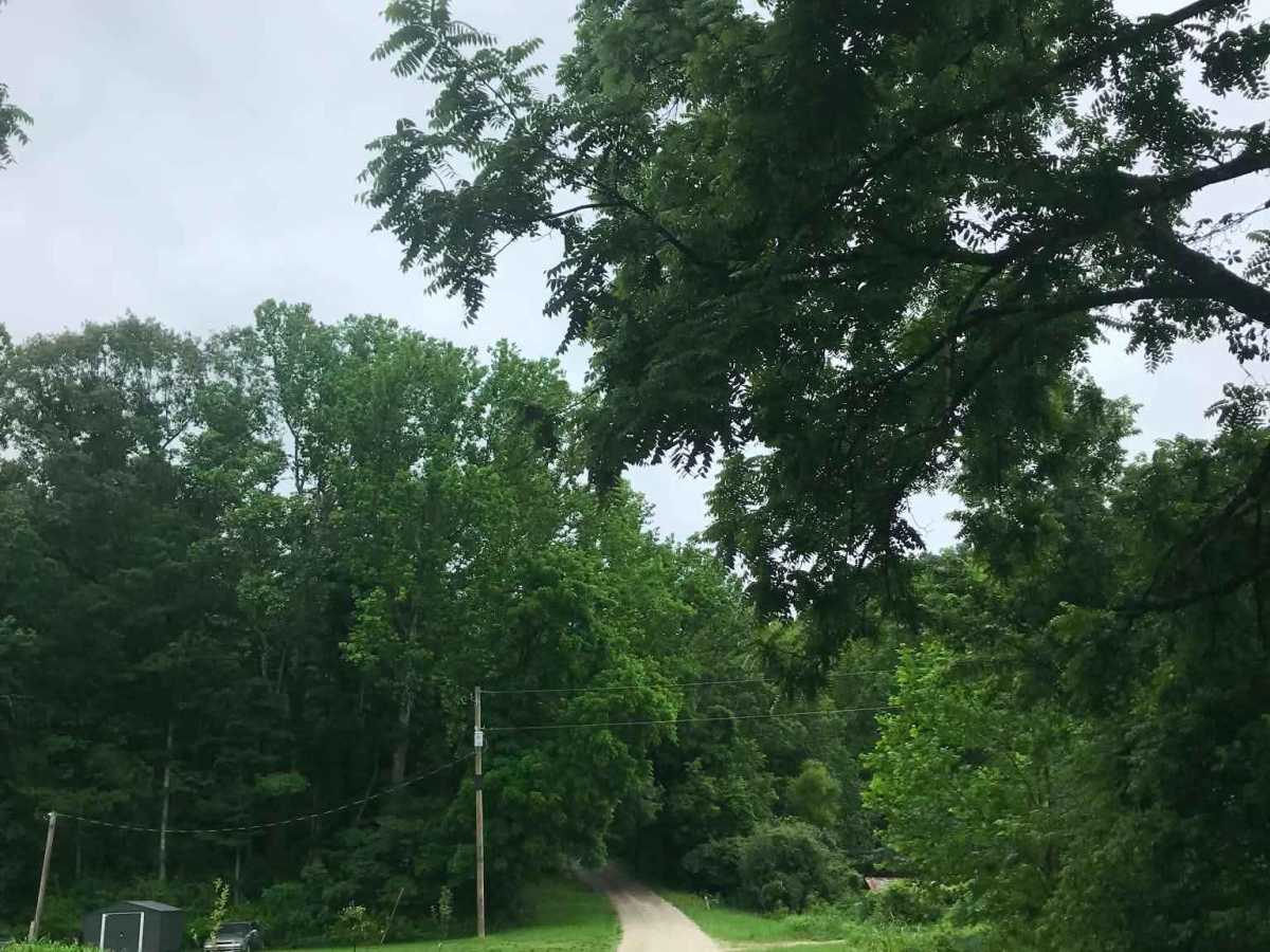
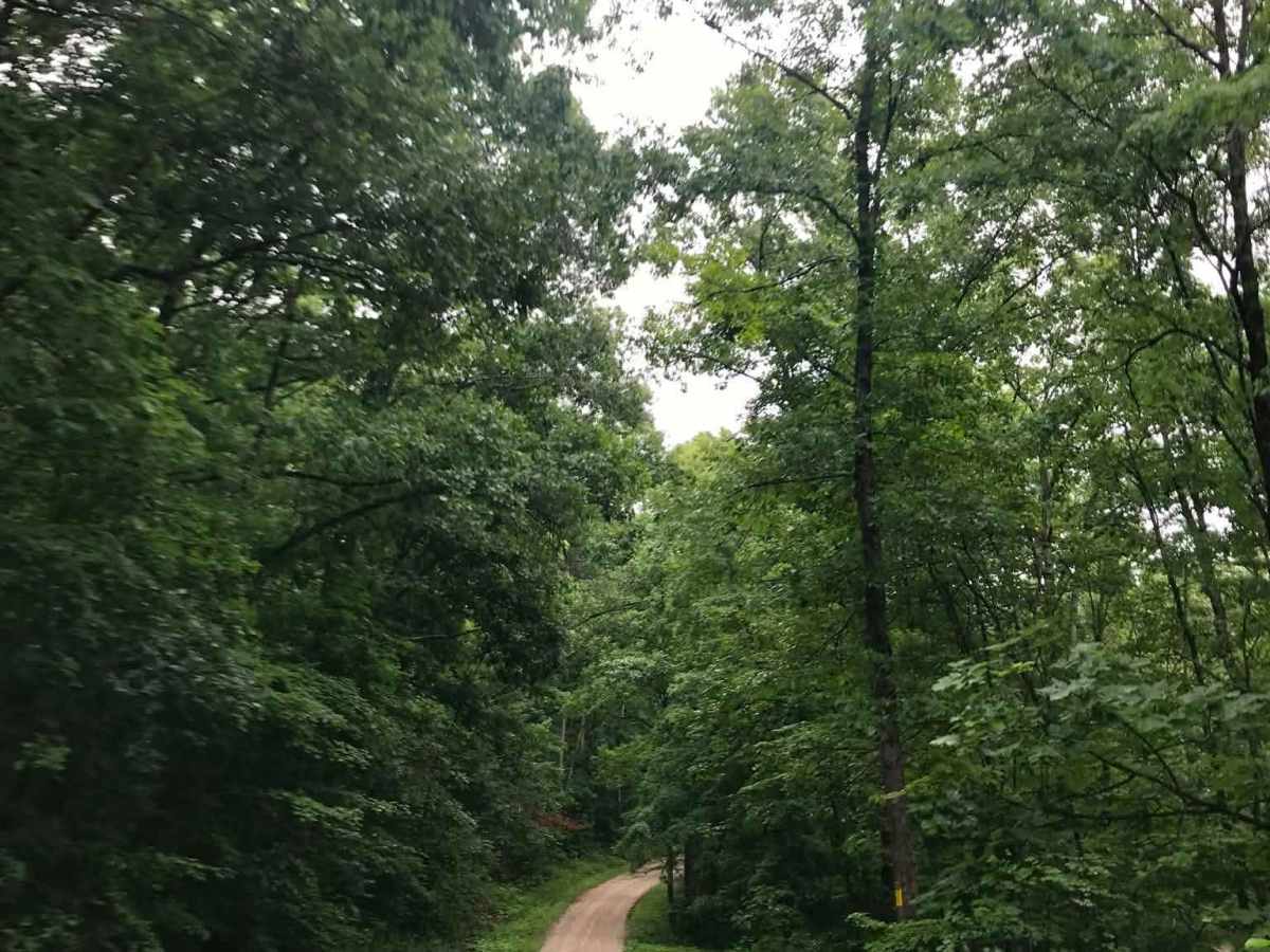
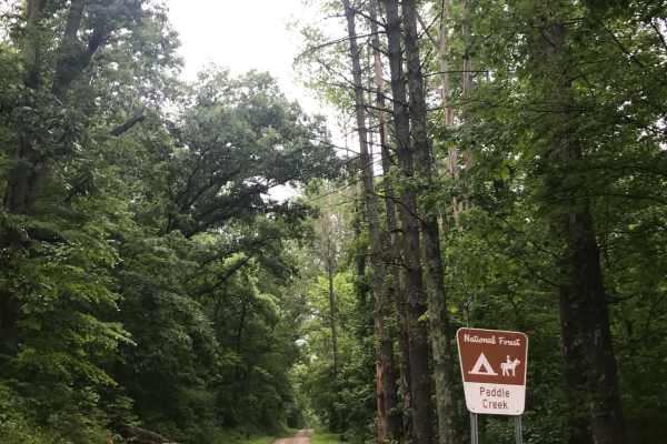
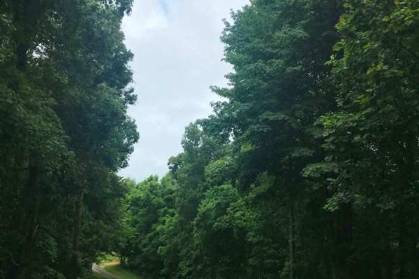
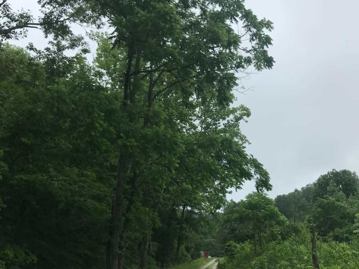
At the fork, turn left onto Kimble Ridge Road and look for signs marking the forest area boundaries and national forest preserve. Take the deeply rutted left turn, and just past the horse trails, a cemetery will be visible on the hill to the left. A gated road will be on the right, so continue left past the cemetery and stay straight on the slick, rough gravel road until reaching Aaron Creek Road, where the route turns to pavement.

Photos of Kimble Ridge

Difficulty

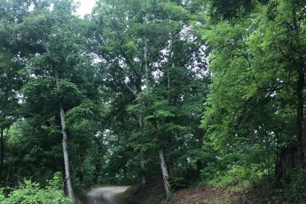
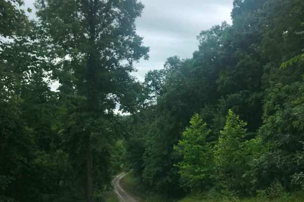
This unmaintained road has slick, rough gravel, deep ruts, and steep grades. Bad weather can cause sections to wash out.

Technical Rating

1

Kimble Ridge Trail can be accessed by the following ride types:

  • High Clearance
  • Full Width

Kimble Ridge Map

The onX Offroad Difference

onX Offroad combines trail photos, descriptions, difficulty ratings, width restrictions, seasonality, and more in a user-friendly interface. Available on all devices, with offline access and full compatibility with CarPlay and Android Auto. Discover what you're missing today!

Open Trail Map