Mikes Road

Total Miles1.2
Technical Rating
1Easy
Best TimeFall
Trail TypeFull-Width Road
Accessible By
Open Trail Map

Trail Overview

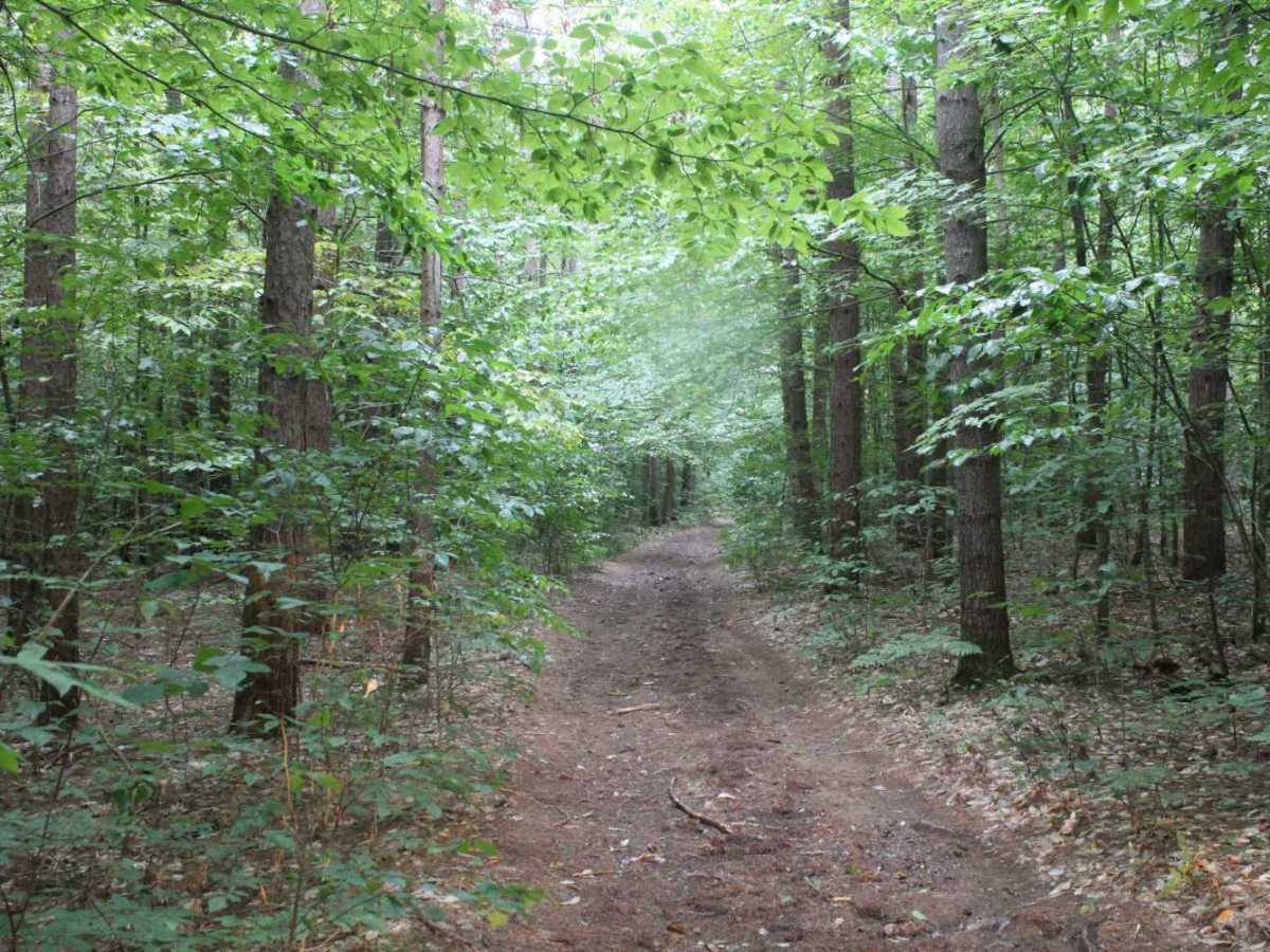
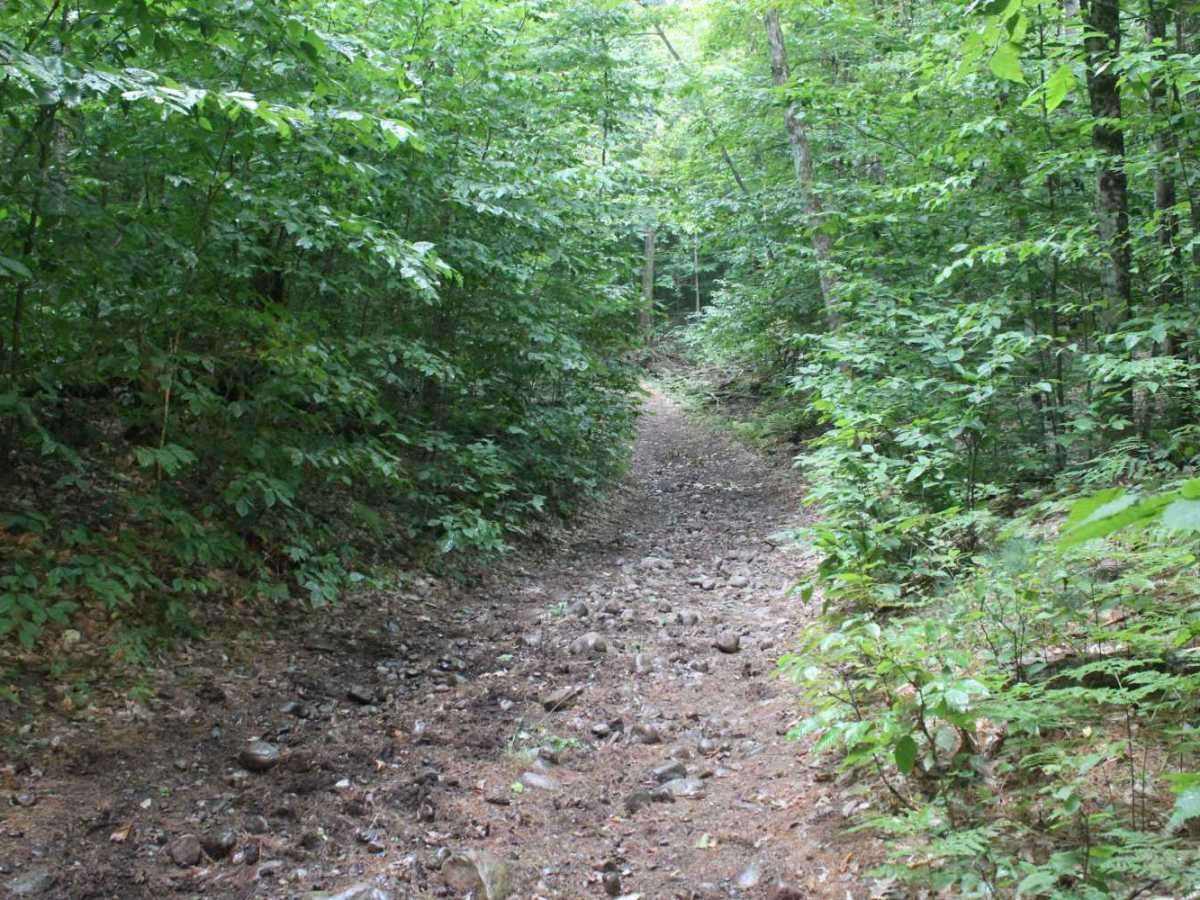
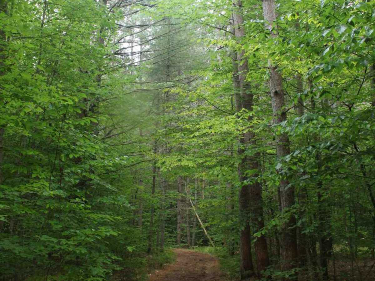
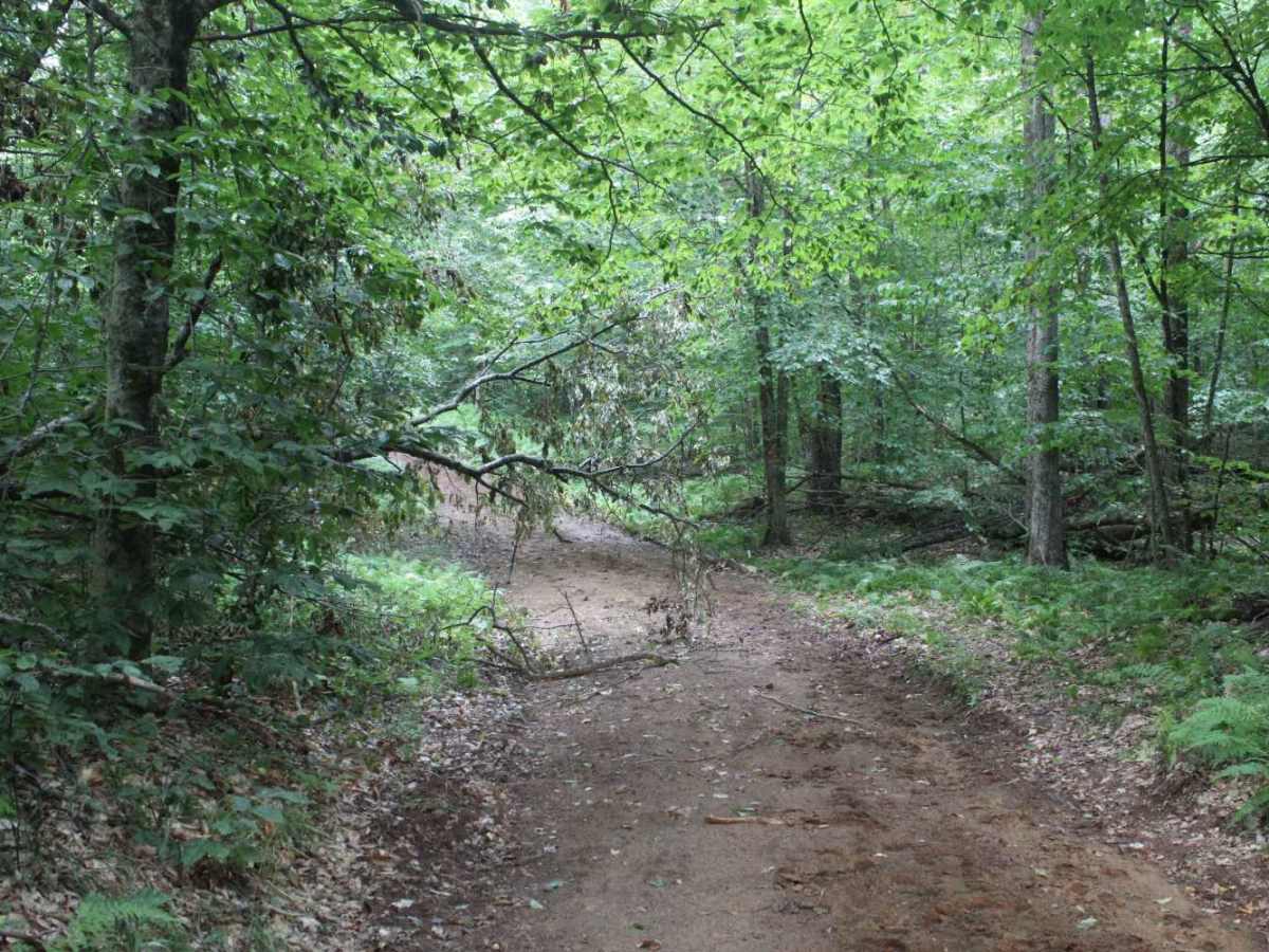
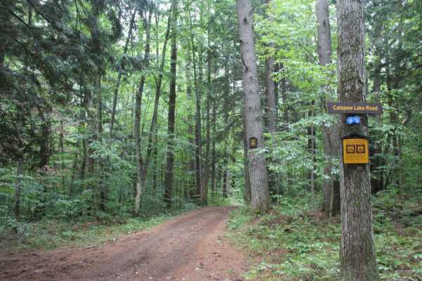
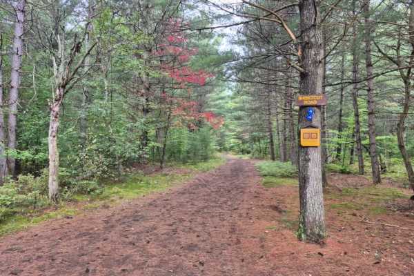
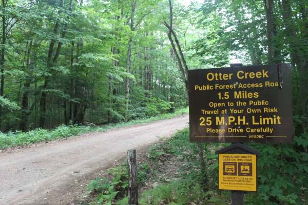
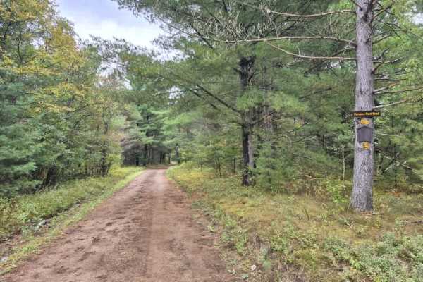
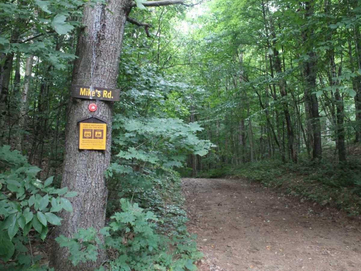
Mike's Road is a narrow dirt out-and-back trail that follows the boundary of the Otter Creek State Forest. This multi-use path is shared with mountain bikers and equestrians and features frequent overgrowth along the edges. The trail concludes at a parking area and campsite, which serves as the trailhead for the Streamside Trail and offers a scenic overlook of the valley where Otter Creek flows.

Photos of Mikes Road

Difficulty

This trail is non-technical but features a tight, narrow corridor throughout. Because the trail is only one vehicle wide, passing is difficult or impossible for the majority of the route. Due to the close proximity of trees and the high risk of fallen debris blocking the path, carrying a saw is highly recommended.

Technical Rating

1

Mikes Road Trail can be accessed by the following ride types:

  • High Clearance
  • Full Width

Mikes Road Map

The onX Offroad Difference

onX Offroad combines trail photos, descriptions, difficulty ratings, width restrictions, seasonality, and more in a user-friendly interface. Available on all devices, with offline access and full compatibility with CarPlay and Android Auto. Discover what you're missing today!

Open Trail Map