Trail Overview
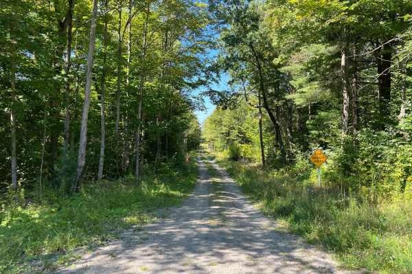
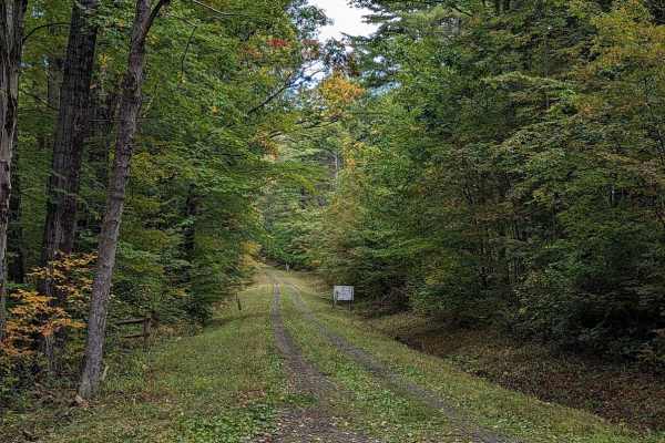
Maple Lane is an approachable 2.4-mile seasonal dirt road through Sugar Hill State Forest that offers scenic forest access and connects riders to local recreation, making it ideal for beginners, stock high-clearance vehicles, and dual-sport enthusiasts. This unpaved passage runs north to south between Evergreen Hill Road and Sugar Hill Road in the town of Orange, providing a direct link to the forest's multi-use trail network and the historic Sugar Hill Fire Tower. The route climbs steadily from a minimum elevation of 1,320 feet to a maximum of 1,726 feet, accumulating approximately 488 feet of elevation gain along the way. Several primitive campsites are scattered throughout the surrounding hardwood forest, offering tranquil staging areas and overnight options for those seeking a rustic camping experience.
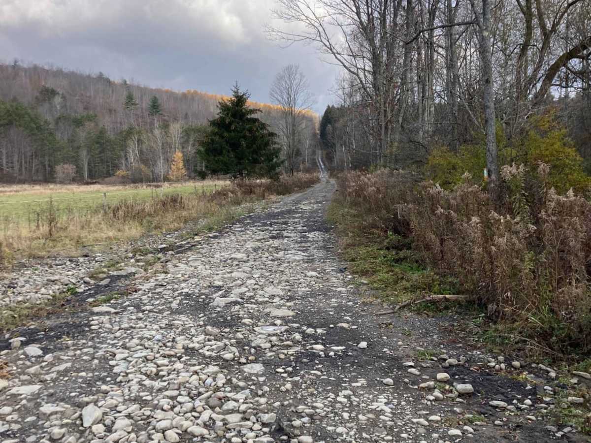
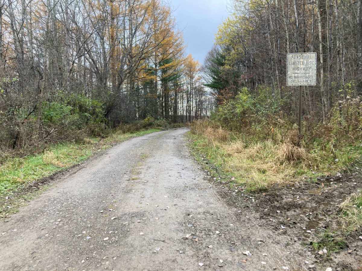
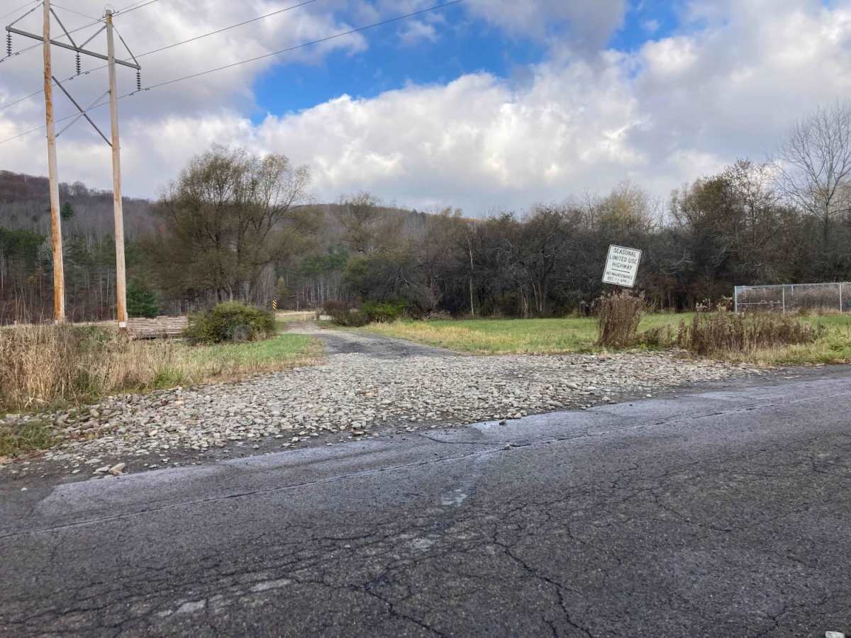
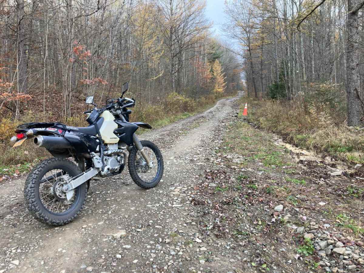
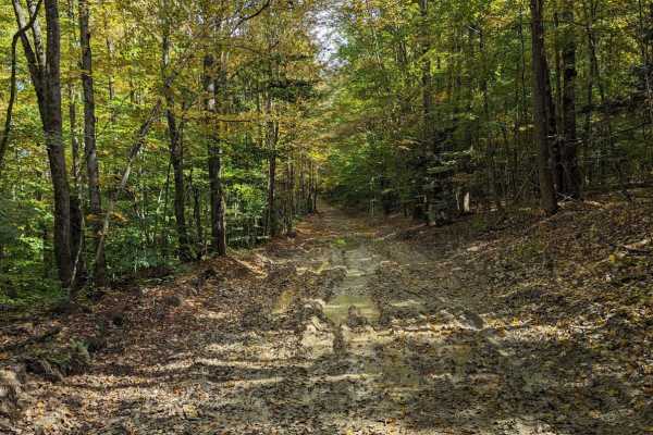
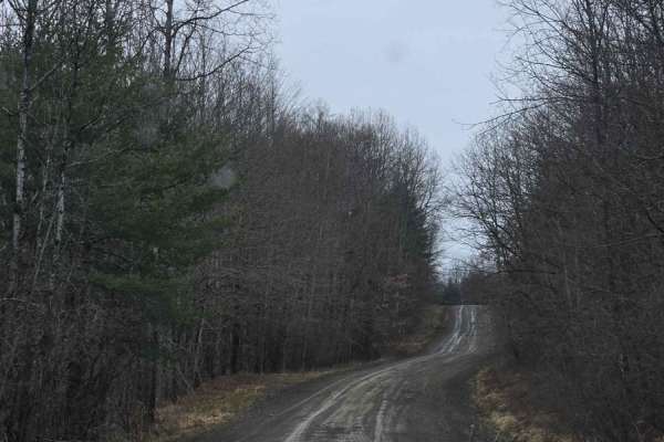
With a technical rating of 3, the trail features an unpaved dirt surface that is easily traversed by most stock four-wheel-drive SUVs, SxSs, and dual-sport motorcycles in dry weather. However, seasonal rains can quickly transform sections of the road into muddy stretches with deep washouts and large water-filled holes that can catch riders off guard. Because this is a seasonal route, it is not maintained during the winter months and may become impassable due to snow and ice. Drivers should expect varying track conditions depending on the weather and ensure their vehicles have sufficient ground clearance to navigate the ruts and water holes that periodically form.

 Offroad