Trail Overview
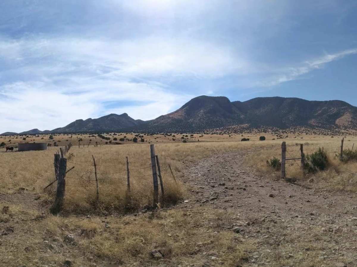
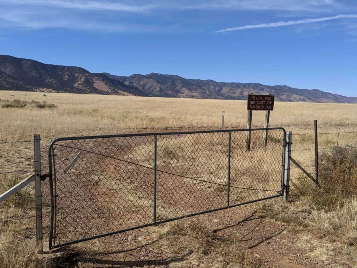
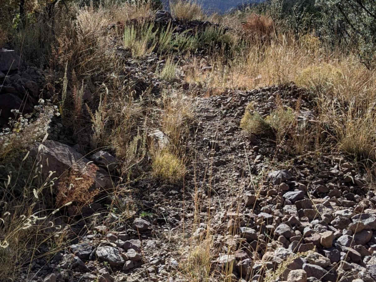
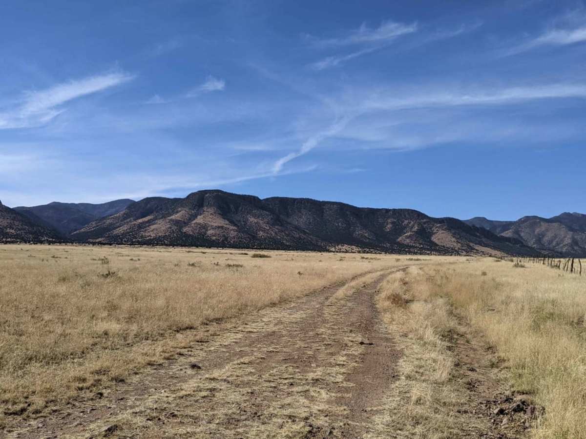
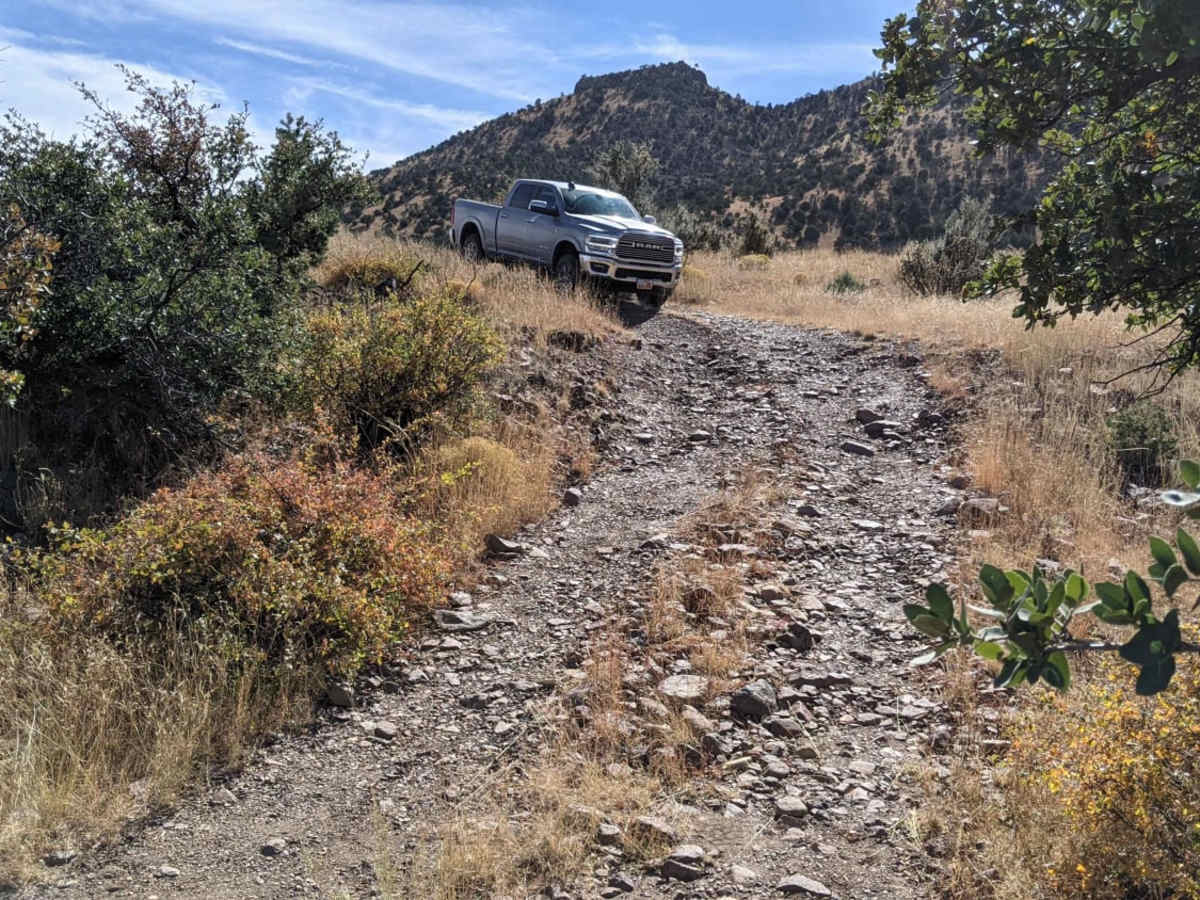
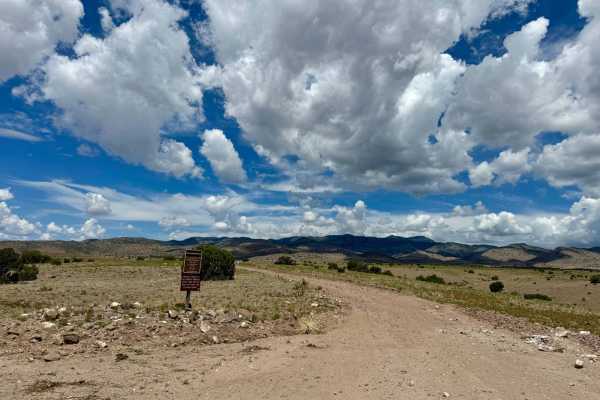
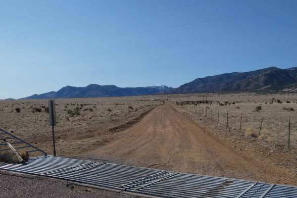
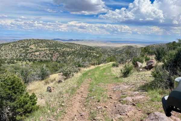
South Canyon Rd. is a scenic 3.5-mile high-desert trail ideal for beginners and casual explorers looking to transition from pavement to dirt. The route begins right off US Highway 60, where a gate ushers drivers onto Bureau of Land Management territory. This route features a mild climb from 6,092 feet up to 6,773 feet, tracking alongside a barbed-wire fence line and requiring travel through a few gates that must be closed after passing. Rated at a technical difficulty of 2, the primary challenge is the rough, unpaved surface, which is littered with small, loose rocks up to six inches in diameter.
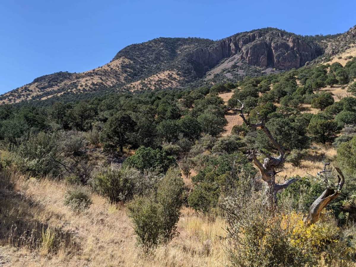
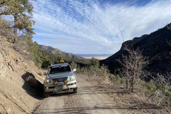
High-clearance vehicles are highly recommended, and those driving full-size trucks should prepare for tight squeezes where trees pinch closely against the trail. While dry conditions make this trail accessible to standard stock SUVs, four-wheel-drive is highly beneficial if wet weather turns the dirt to mud. Expect plenty of free-roaming cattle along the way, requiring cautious speeds around blind bends. The trail accommodates SxSs, dirt bikes, and high-clearance rigs, ending at the South Canyon Trail No. 15 Trailhead, which offers access to deeper foot travel into the mountainous terrain.