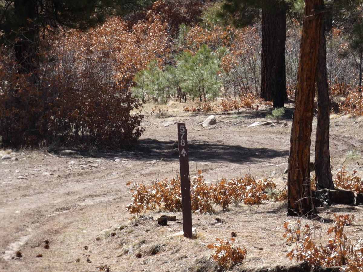
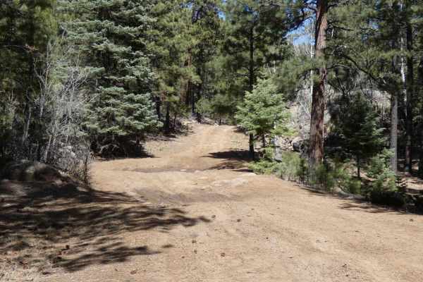
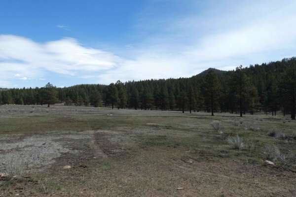
Red Mesa FSR-578

Total Miles 9.3
Technical Rating
3 Easy
Best Time Spring, Summer, Fall, Winter
Trail Type Full-Width Road
Accessible By
Open Trail Map

Trail Overview

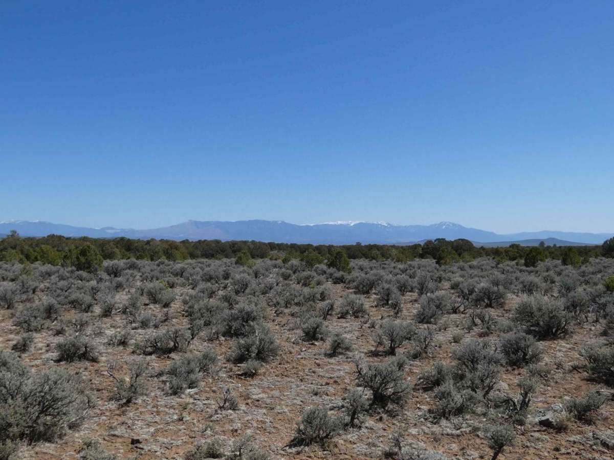
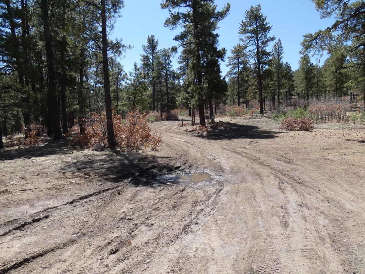
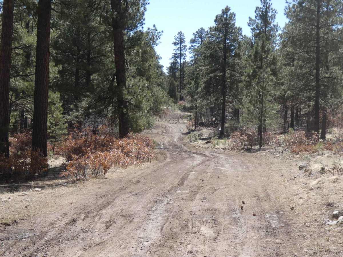
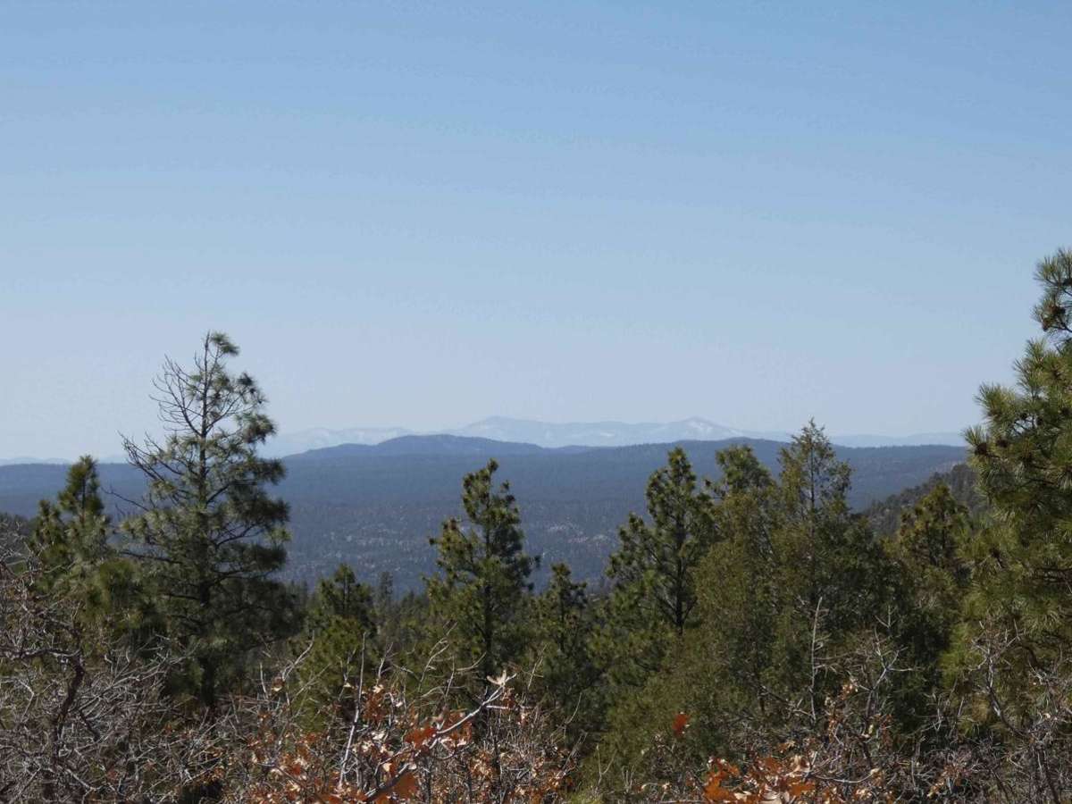
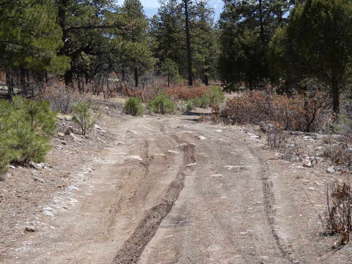
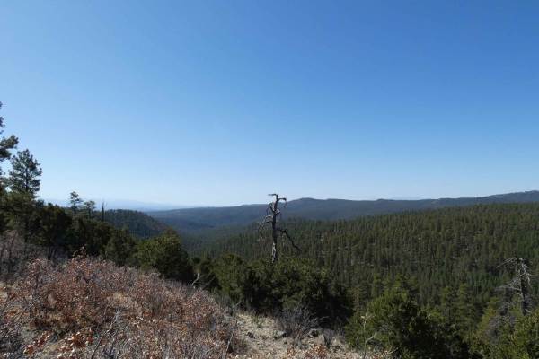
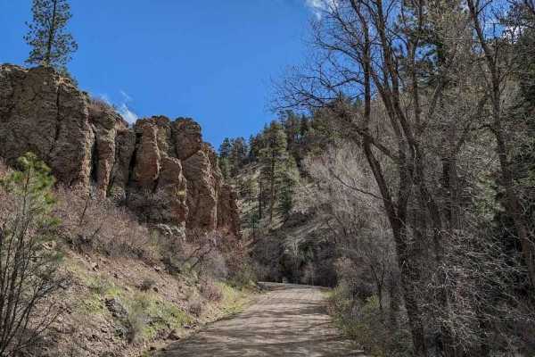
Red Mesa FSR-578 is a point-to-point trail that connects from FS-222/CR-263 at its north entrance and leads back to SH-285 at its south entrance. This trail can be traversed from either end and is suitable for most high-clearance 2WD vehicles during dry weather. The surface is a decently balanced combination of dirt and rocks, with some stones being up to 12 inches in size. Some sections of the trail have deeper ruts and shorter, steeper grades, making it easier for lower clearance vehicles to complete if they start from the north entrance. The trail is wide enough through most of its track to pass if necessary, with only a few spots being narrow and single vehicle width due to brush and foliage. There are several sections throughout the trail where the views to the west give a clear view of the Columbine-Hondo Wilderness, the Latir Peak Wilderness, and the surrounding mountains. Cell service fluctuates throughout the trail with moderate levels of service strength. Dispersed camping is permitted along the entire length of the trail, and features some semi-developed sites tucked into the tree line towards the north before it becomes more open with fewer trees.

Photos of Red Mesa FSR-578

Difficulty

Vehicles will encounter some loose rocks up to 12 inches in size, as well as minor rutting and possible shallow mud holes. There are sections of the trail that are strictly single vehicle wide due to surrounding foliage.

Technical Rating

3

Status Reports

Add Status Report
Bradley Jenkins
Mar 10, 2026
Open
Trail is dry and in great condition. Went south to north and connected through to Tusas Ridge and then out 43 to highway 64. Overall, a great afternoon, no issues with the trail.
Jaime Penate
Jul 27, 2025
Open
Lots of loose rocks, high clearance vehicle is definitely needed. I was in my stock Pilot Trailsport and was scrapping at many points. There were mud areas where 4WD is necessary. Very low routed trail. At a couple points, the trail would disappear and would need to scout ahead to ensure we were on or near the trail. Also, at many points we had to go out and move larger rocks off the trail to make clearance. I would make this trail a 4 out of 10 as a more technical approach is sometimes needed.

Red Mesa FSR-578 Trail can be accessed by the following ride types:

  • Single Track
  • 50 Inch
  • 60 Inch
  • High Clearance
  • Full Width

Red Mesa FSR-578 Map

The onX Offroad Difference

onX Offroad combines trail photos, descriptions, difficulty ratings, width restrictions, seasonality, and more in a user-friendly interface. Available on all devices, with offline access and full compatibility with CarPlay and Android Auto. Discover what you're missing today!

Open Trail Map