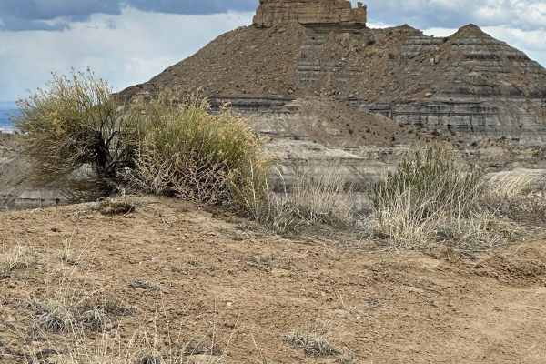
Trail Overview
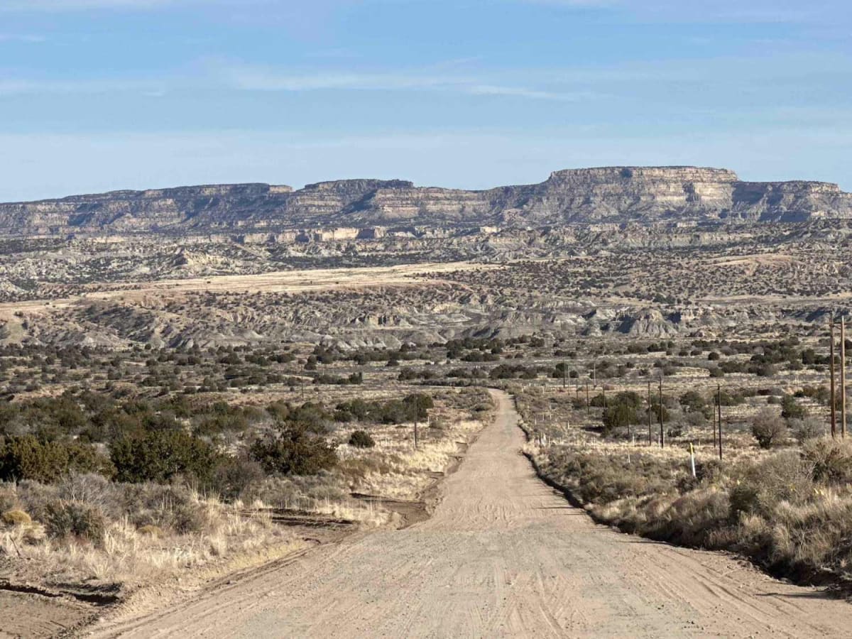
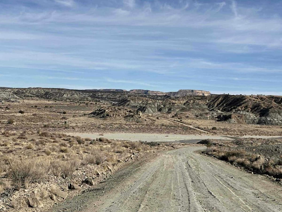
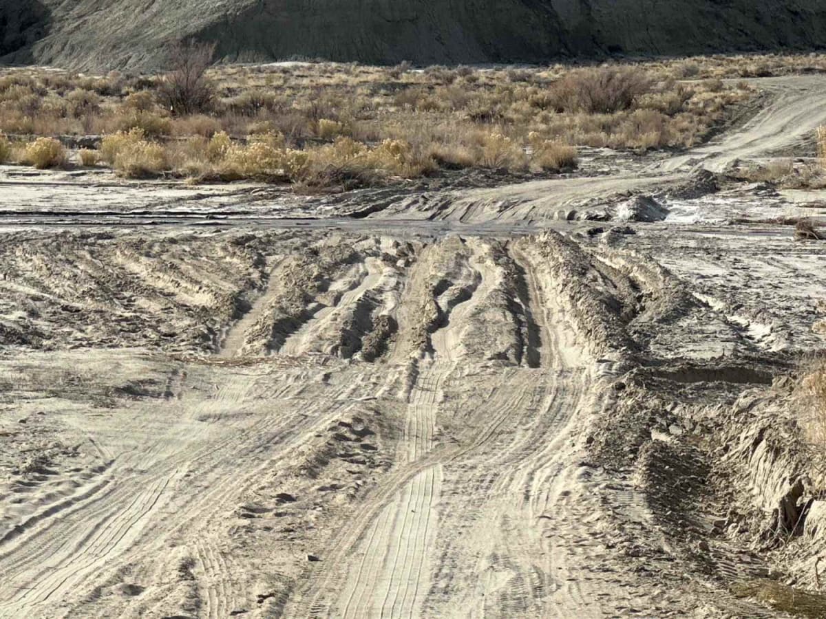
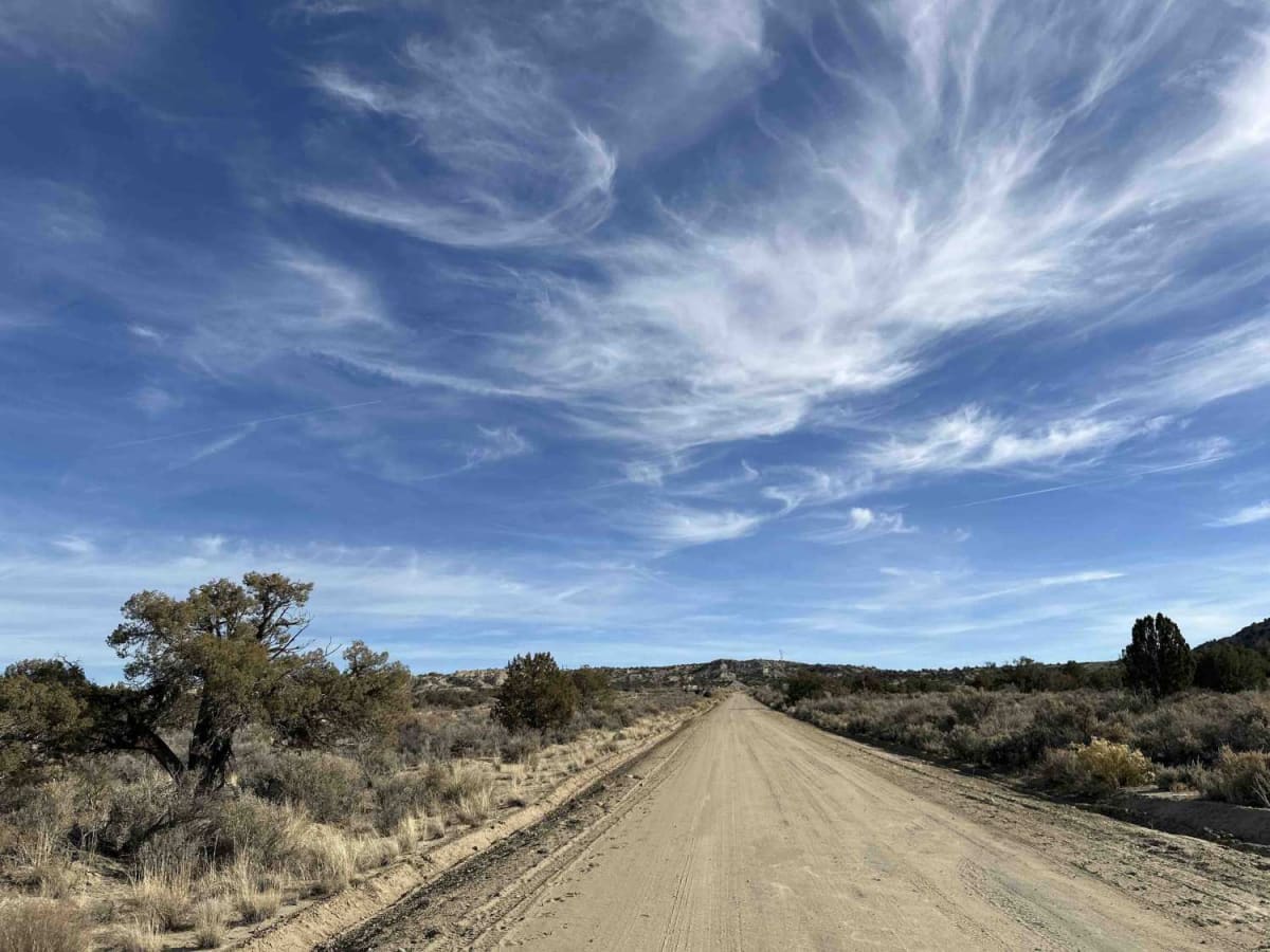
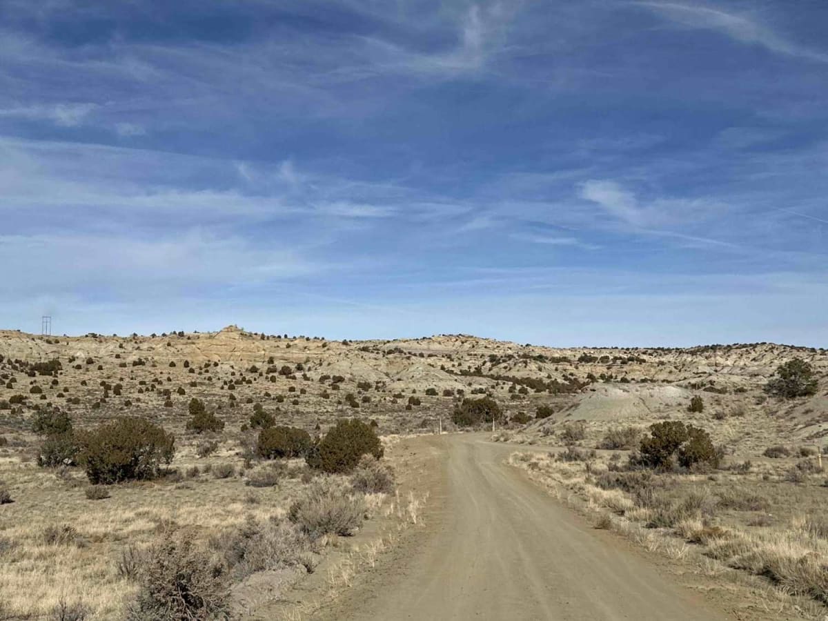
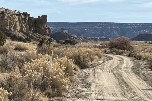
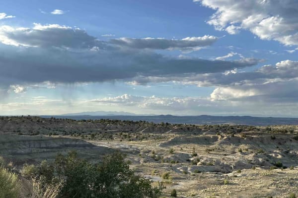
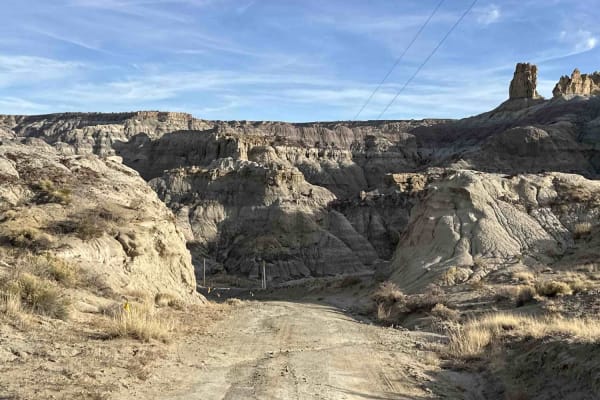
CR 7020 is a 7-mile off-road trail and oil access road that serves as the easiest and most direct route from Highway 550 to the Angel Peak Loop and Kutz Canyon. The trail combines sections of deep sand and packed dirt, providing a generally smooth drive under dry conditions. However, its accessibility can change quickly following rainfall, with mud ruts, heavy washouts, and water crossings potentially adding to the challenge. The trail cuts through open desert landscapes, and during winter months, it's common to encounter grazing cattle. Several turn-offs along the way lead to more advanced trails for a little extra adventure. CR 7020 is a great option for beginners and seasoned off-roaders alike, offering versatility and connections to some gorgeous routes that wind through the badlands area surrounding Angel Peak. While this is generally an easy 1 with some sand and potential water crossings that push into two territories, drivers should remain cautious, particularly after storms. Muddy sections and eroded areas may require careful navigation, and water crossings in low-lying areas can become significant obstacles. High-clearance 4x4 vehicles are recommended, especially during or after inclement weather. Cell service is spotty;you'll want to download maps for offline use before getting too deep into the area. Be sure to check trail conditions, carry recovery gear, and prepare for the possibility of changing terrain.
Difficulty
This is a fairly straightforward road with one somewhat steep grade and some deep sand during dry weather. Much of it is an easy 1, but crossing the larger washes can be a bit trickier--the road narrows to 1 vehicle width, and if there is water running through the wash, the difficulty will increase accordingly.