Trail Overview
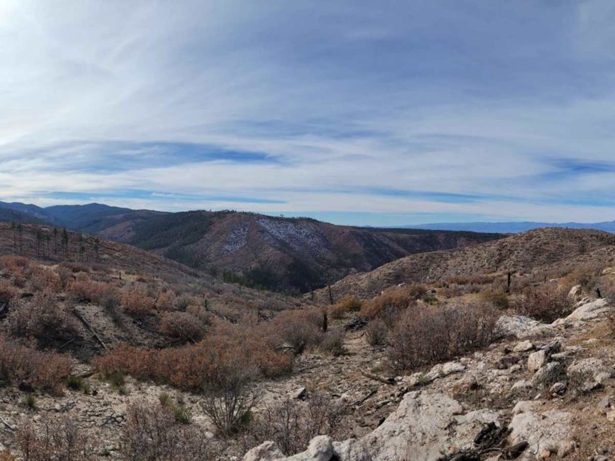
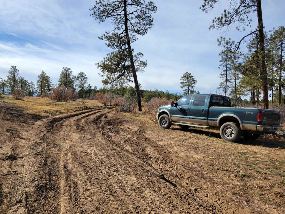
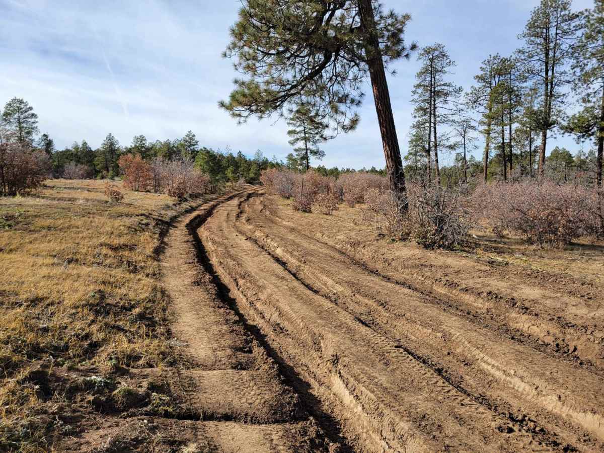
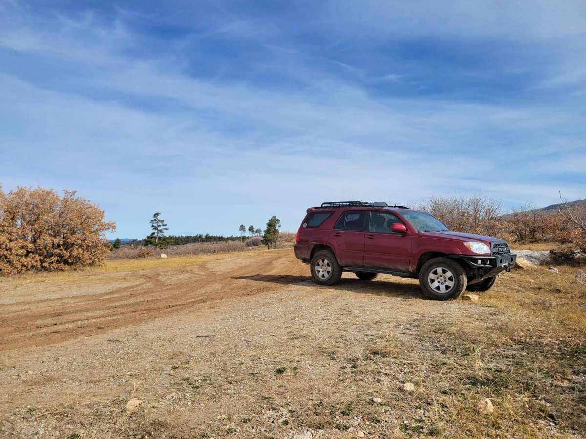
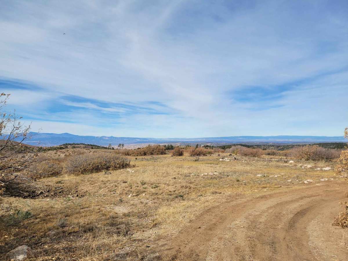
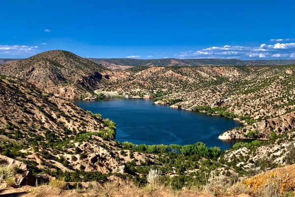
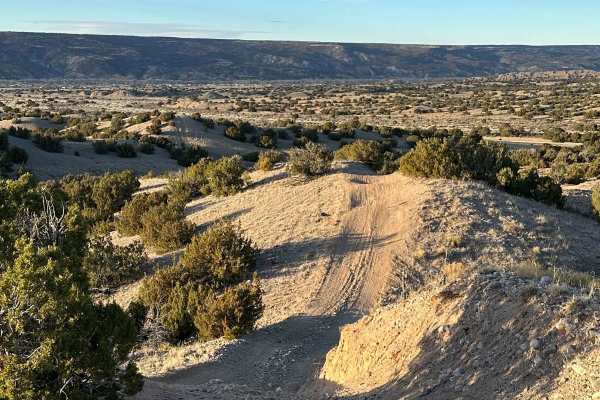
Pecos Wilderness Border Road (Forest Road 306E) is an ideal short trek for high-clearance four-wheel-drive vehicles and SxSs looking to explore the scenic highlands of Borrego Mesa. Starting near the intersection with Borrego Mesa Road (Forest Road 306), this unmaintained 1.7-mile trail runs along the boundary of the Pecos Wilderness, reaching a peak elevation of 8,223 feet. The route offers expansive views of the surrounding New Mexico foothills but demands caution right from the start, where deep 8-inch ruts can challenge lower-clearance stock vehicles.
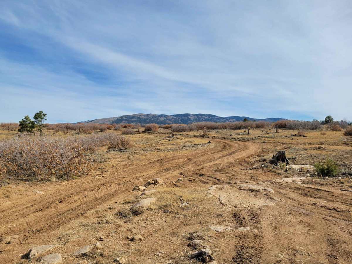
While the technical rating is a mild 2 out of 10, drivers must navigate small ledges and uneven terrain further down the trail. In dry conditions, ground clearance is the primary obstacle, but wet weather quickly transforms the clay-like dirt into a slick, muddy hazard that requires excellent traction. Offroaders can park near the wilderness boundary to access the Borrego Mesa Trail (Trail 150), which heads deep into the non-motorized Pecos Wilderness, making this a perfect hybrid motorized-to-hiking excursion.
Access Description
High-clearance four-wheel-drive vehicles or SxSs are recommended to navigate the deep 8-inch ruts near the start of the trail. The road is unmaintained and should be avoided during or immediately after wet weather, as the clay dirt becomes exceptionally slick. Because this route borders the Pecos Wilderness, motorized vehicles are strictly prohibited from crossing past the designated boundary lines off the main road.

 Offroad