Trail Overview
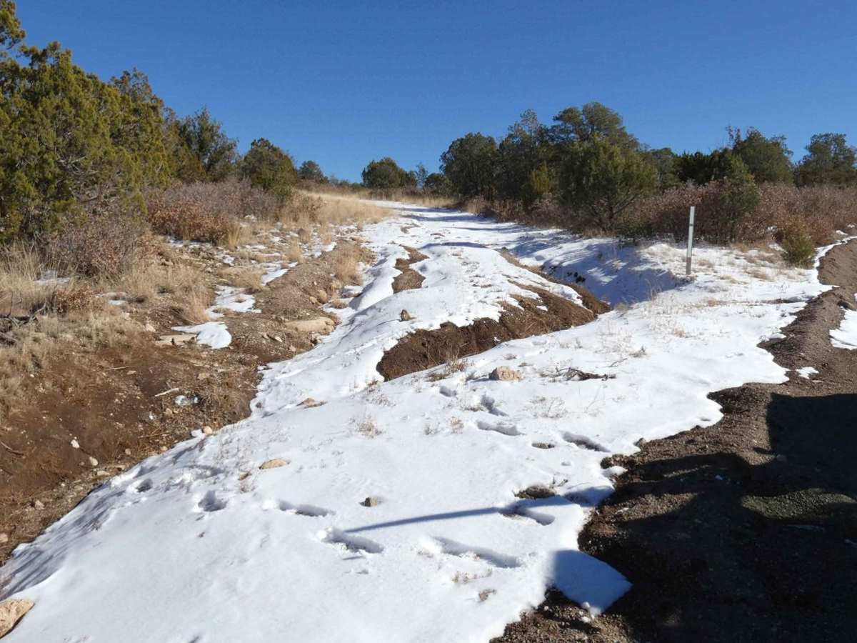
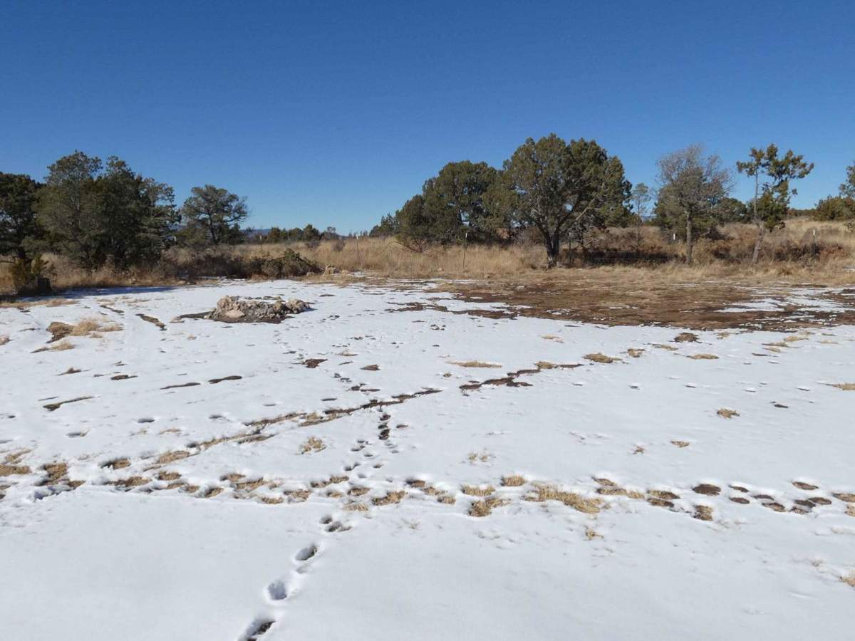
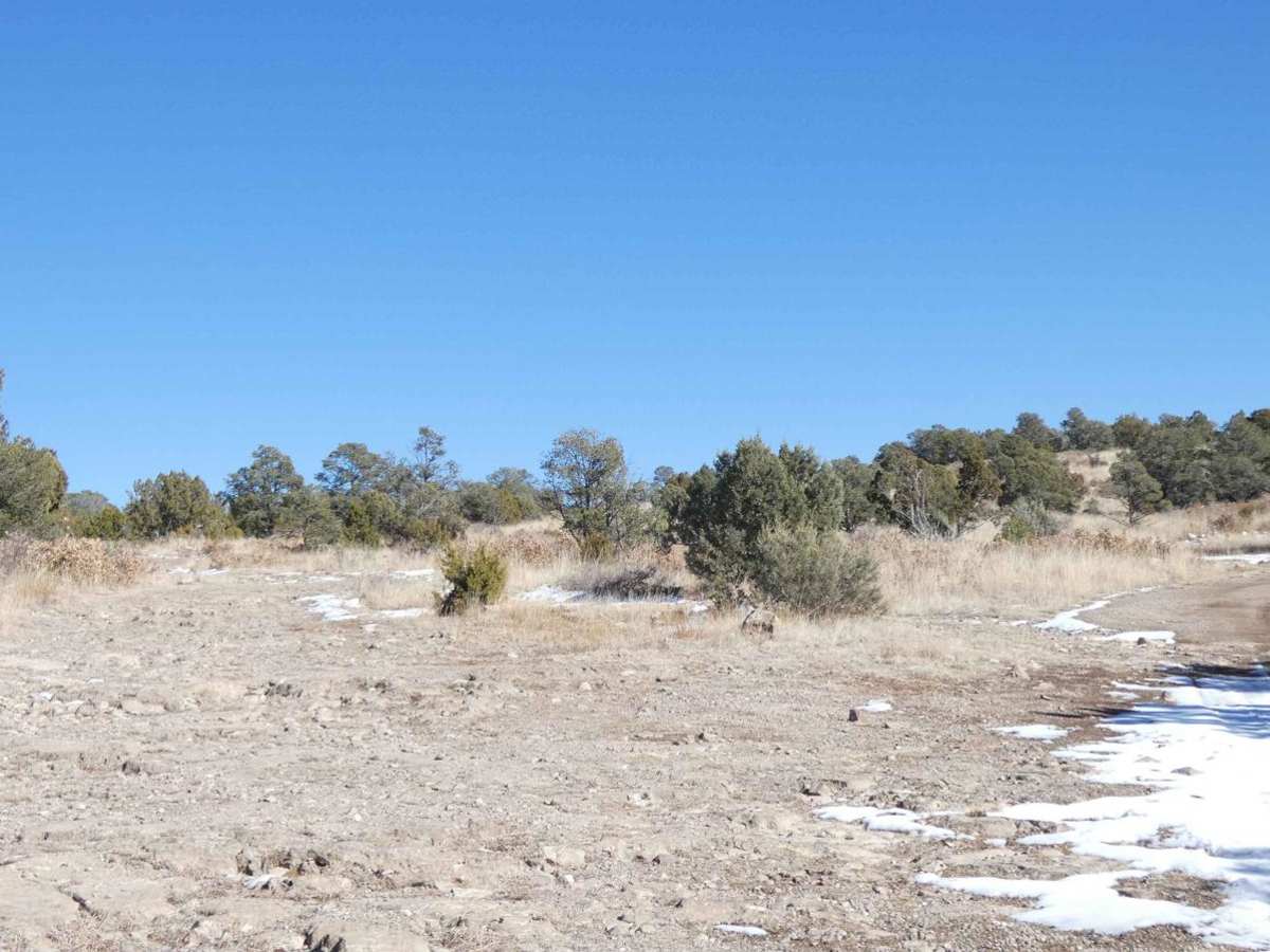
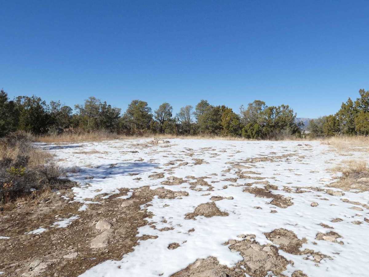
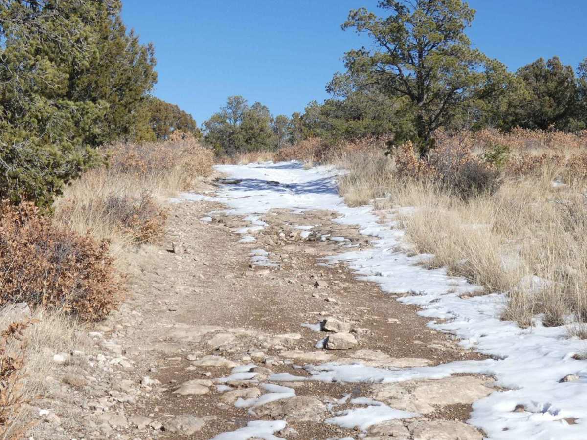
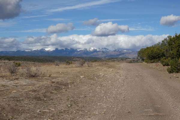
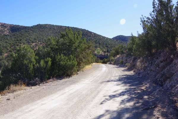
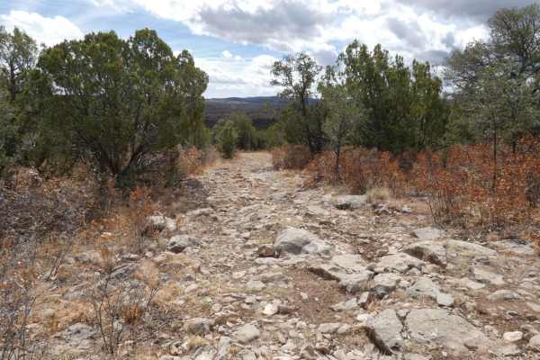
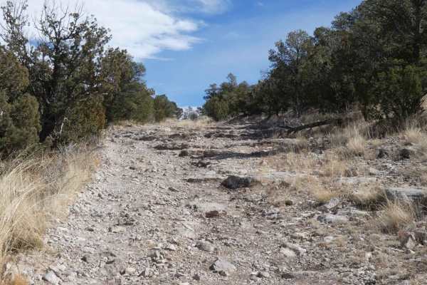
North Coe is located just south of the Fort Stanton NCA and Fort Stanton historical site and is an out-and-back trail. The trail provides amazing views in every direction and is passable by most 4x4 with a majority of the obstacles being under 12". The trail has two entryways, the northern entry (first picture) is very heavily rutted and appears to have a pipeline recently placed, while the entry just to the south is maintained and easier to access. The trail starts with a maintained dirt and rock surface and continues on to several dispersed campsites and eventually becomes rockier as you begin to gain elevation. Further into the trail, there are areas that show signs of deeper rutting with passes, expect rutting to become more significant with rain or snow melt. Foliage becomes denser further into the trail after passing through the one gate, some have overgrowth that does impede onto the trail where it is one vehicle wide, expect some contact with tree limbs and branches. The surface of the trail also becomes rockier and features some small rock gardens and small steps as you continue to ascend the trail. Closer to the east end of the trail it begins to descend slightly into the canyon and continues on a rocky surface that can be slippery in snow or rain. The trail ends at a closed gate and maps show this to be a boundary line for NFS land and State Land that eventually runs into private land. Cell coverage is good until the last mile of the trail while in the canyon where it may become weak. The snow provided evidence of mountain lion tracks, and a heavy presence of coyotes and elk in the area, take necessary precautions in the area if camping or hiking. There is a looped spur to the southeast end of the trail that drops down lower in elevation and may provide for a shallow water crossing. This trail appears to be passable in most weather conditions including winter months with ice and snow. There are no off-camber slippery areas to deem unsafe or impassable in colder weather.
Difficulty
Rutted areas may be slippery mud and are expected to become worse with rain/snow. Rock gardens have some loose rocks and rocks larger than 12". Rock steps with shelves less than 12", some loose or slippery due to ice/rain.