Trail Overview
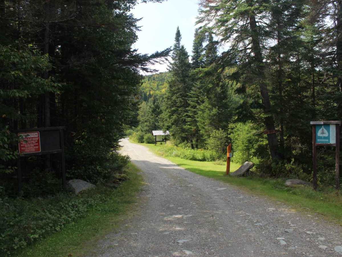
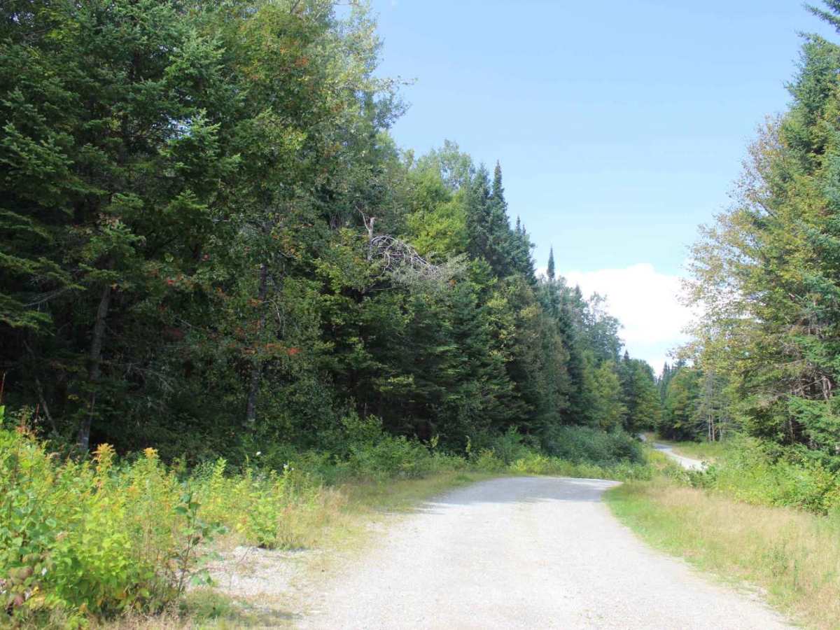
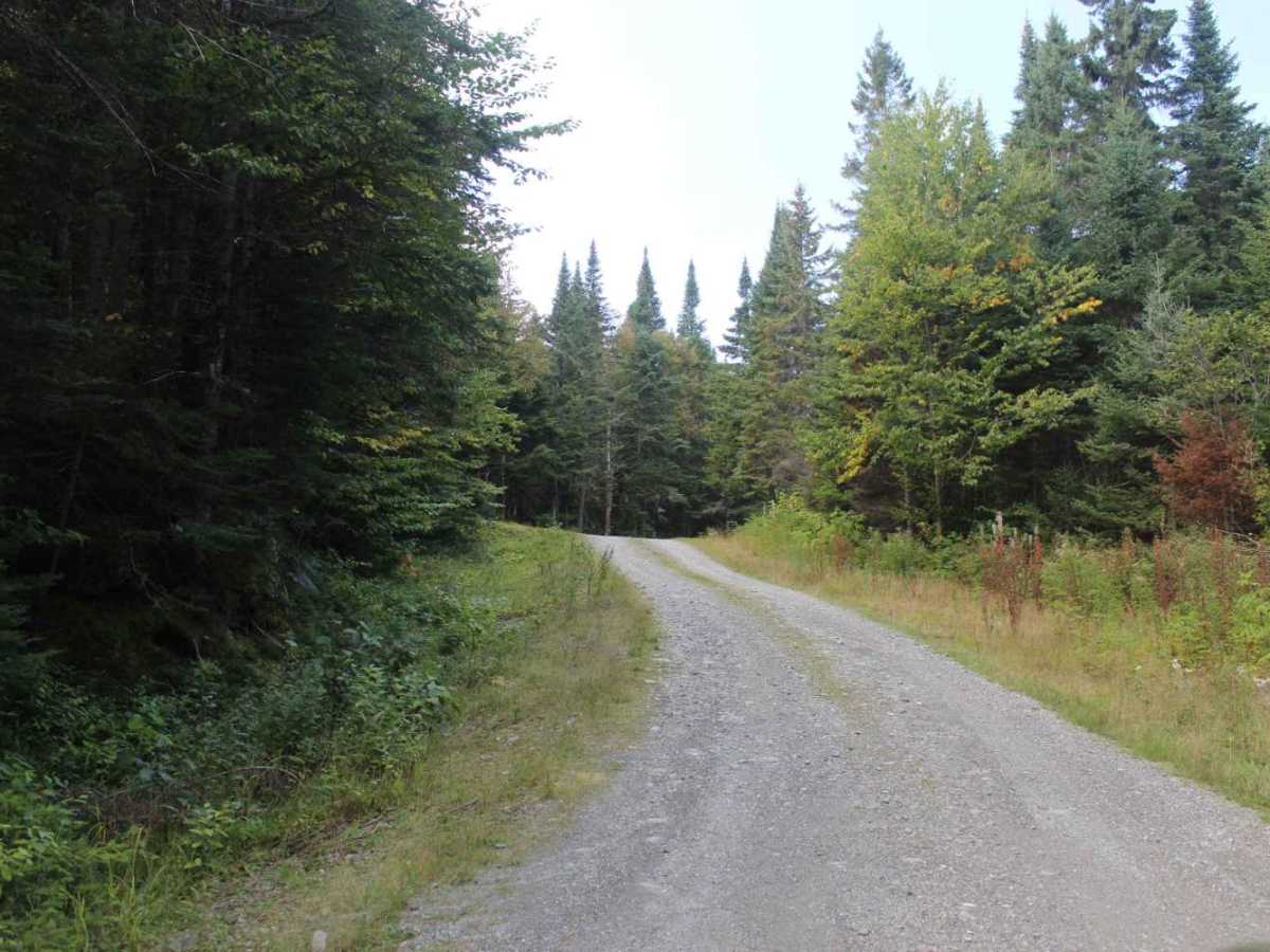
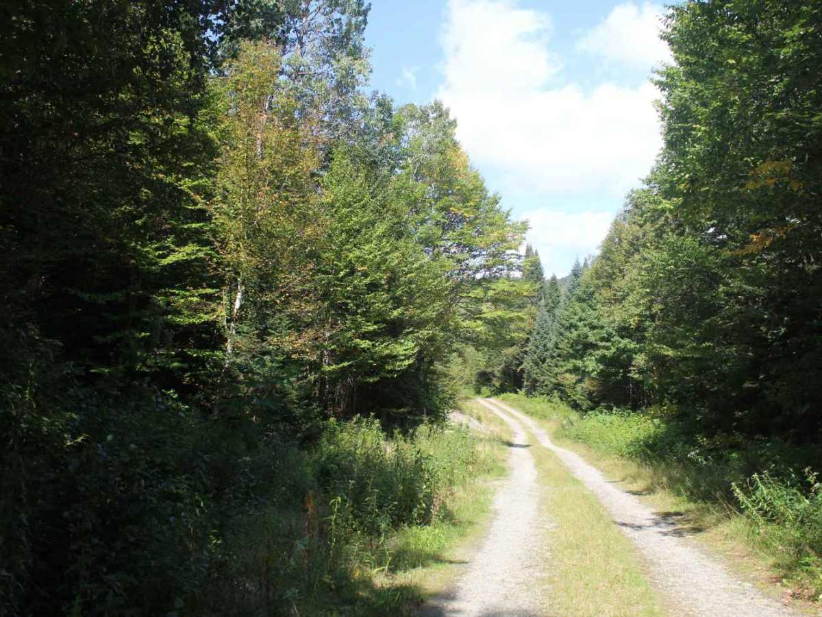
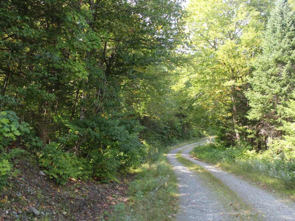
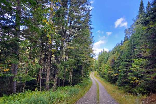
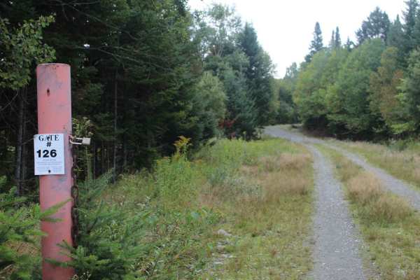
Sophie’s Lane is an out-and-back trail that begins as a single-lane gravel road before transitioning into a two-track path. Running nearly parallel to the Daniel Webster Highway, this trail serves as a rugged, wilderness alternative to the region’s well-known scenic paved corridor. Known as "Moose Alley," this area is prime territory for spotting large wildlife. Along the route, you will find numerous pull-offs providing convenient access to fishing spots and hiking opportunities, including the trail to the Deer Mountain fire tower.
Difficulty
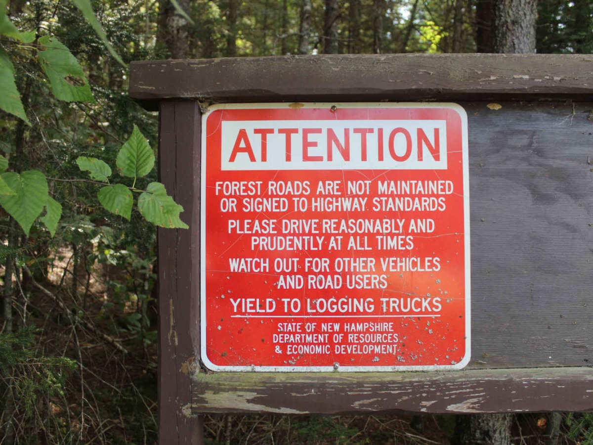
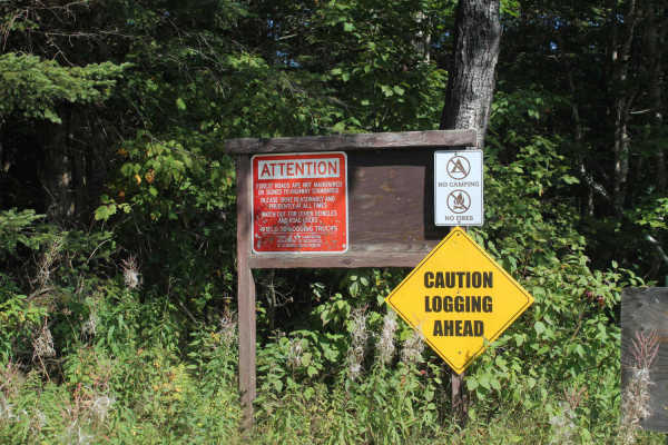
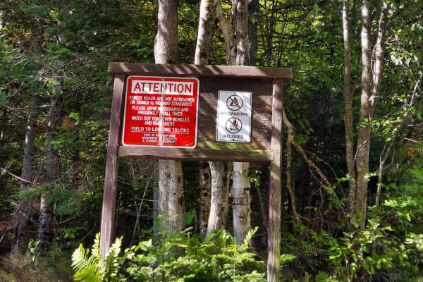
The route is characterized by smooth dirt surfaces with minimal obstacles, offering miles of scenic riding and frequent wildlife sightings. Please be aware that this is an active working forest, and you should expect frequent encounters with heavy machinery, including trucks, bulldozers, and skidders. These vehicles always have the right of way; we are only granted access to this area through the courtesy of the forestry operators and owners, so please exercise caution and yield to all heavy equipment.