Trail Overview
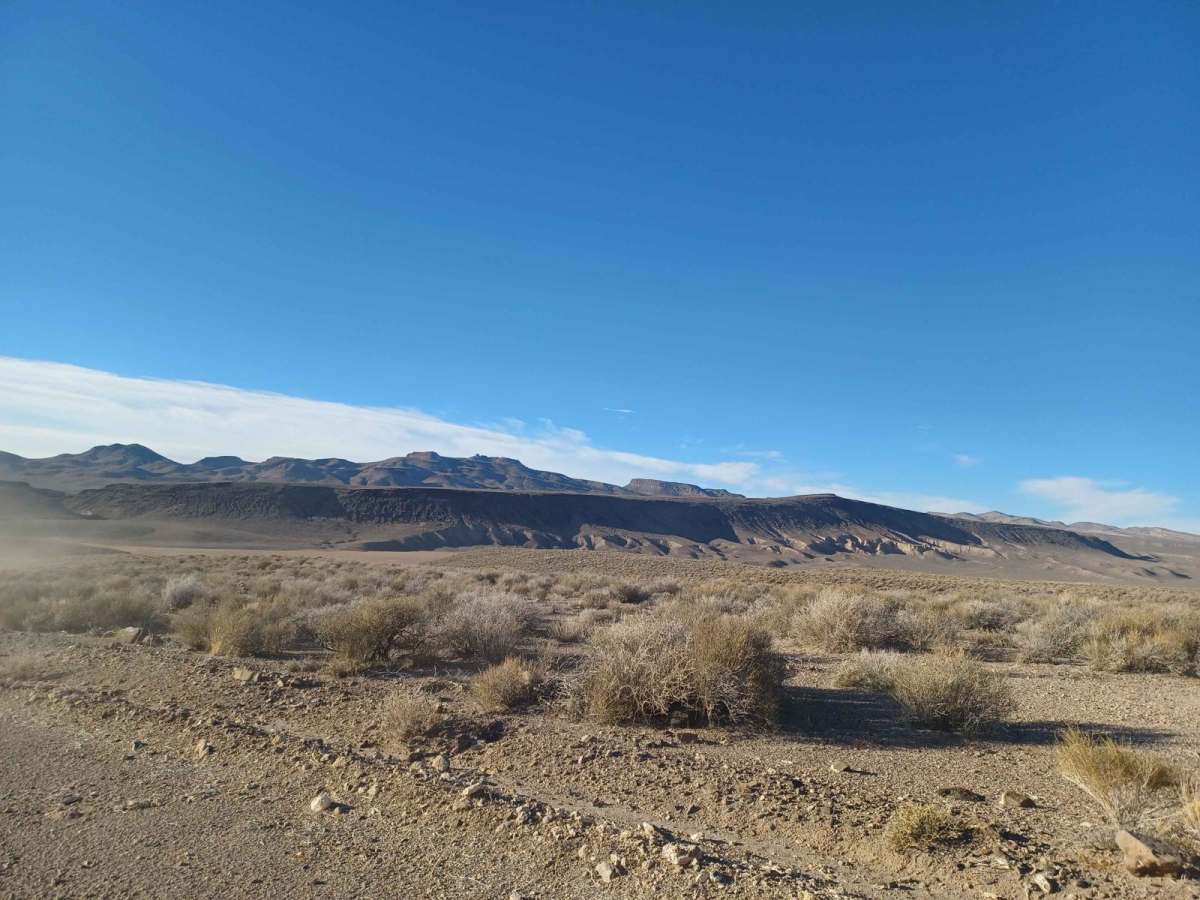
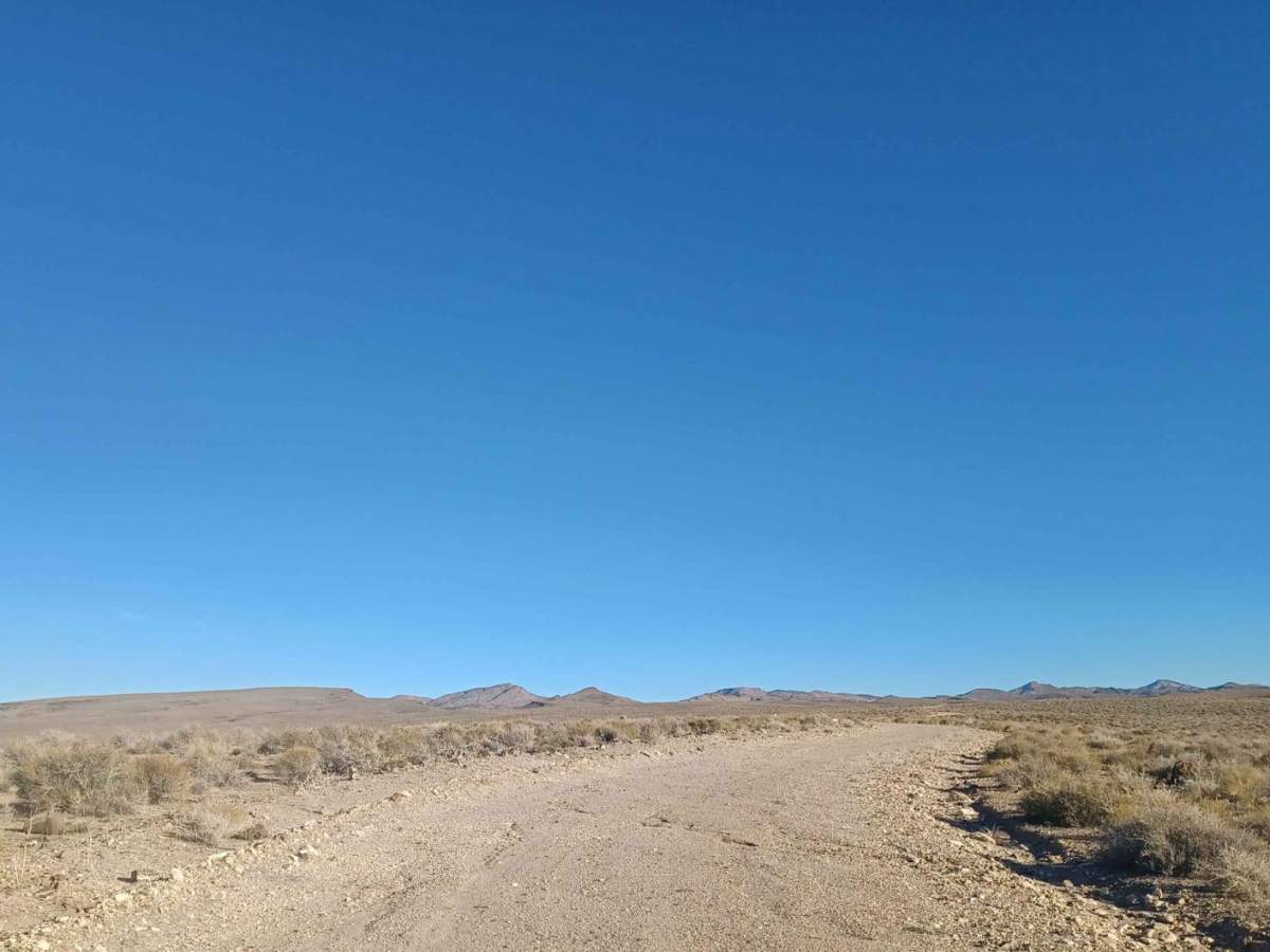
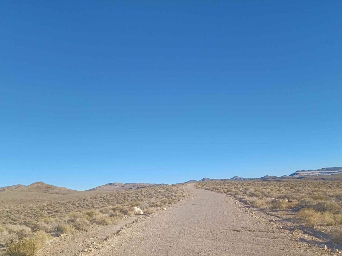
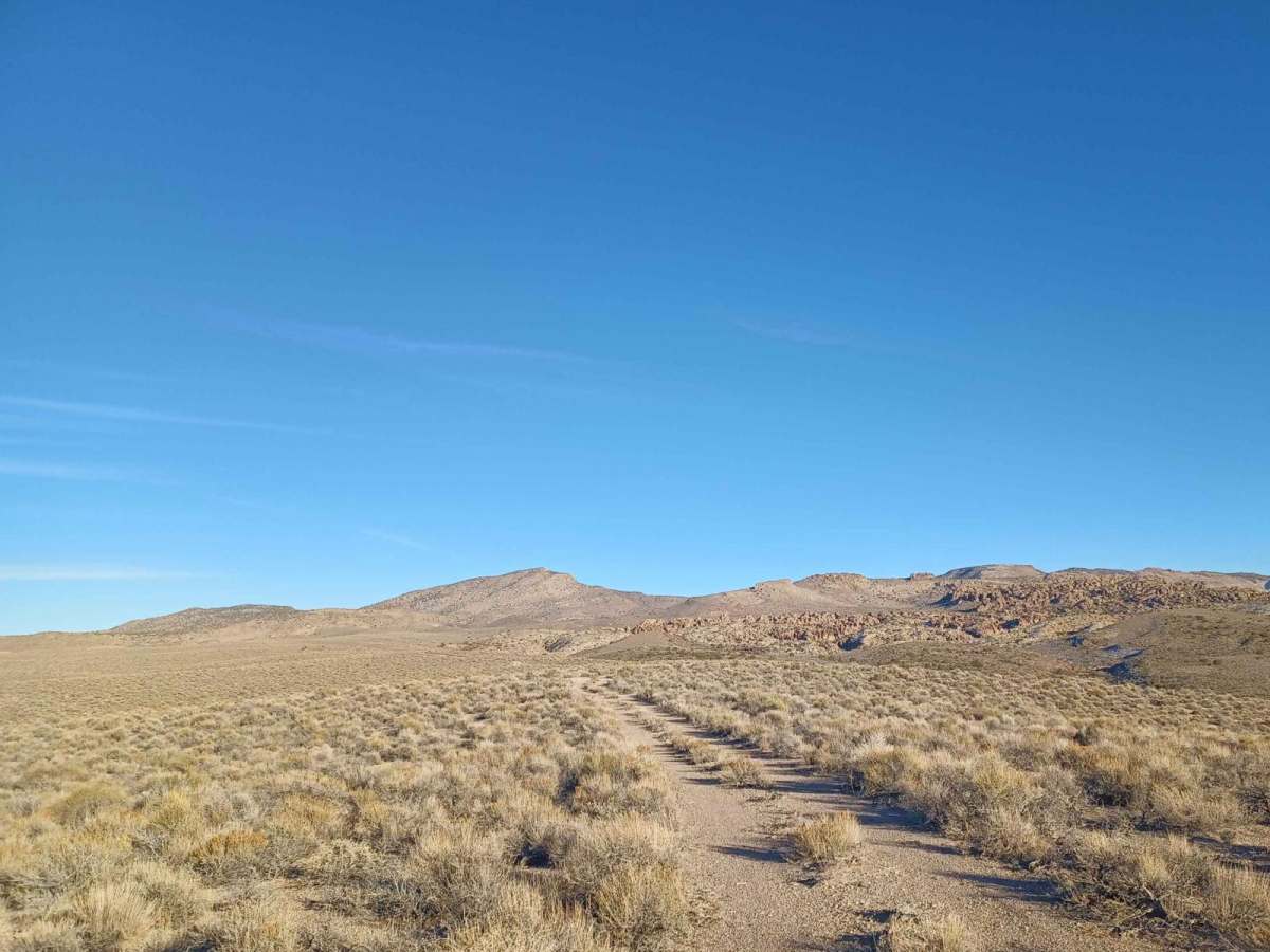
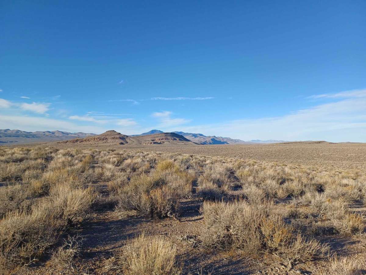
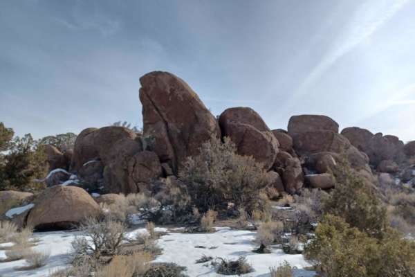
White River is an easy-to-moderate 6.2-mile trail in eastern Nevada that offers scenic valley views and direct access to expansive Bureau of Land Management territory. This four-wheel-drive route begins off Sunnyside Road at an elevation of 4,357 feet and climbs steadily to 5,535 feet, gaining 1,178 feet of elevation along the way. While the initial portion of the journey is highly accessible and straightforward for most offroad vehicles, including stock SUVs and SxSs, the terrain changes dramatically as it approaches the high point. This first half of the route winds through open desert landscapes, offering expansive vistas of the surrounding valley before entering a tight and challenging canyon environment.
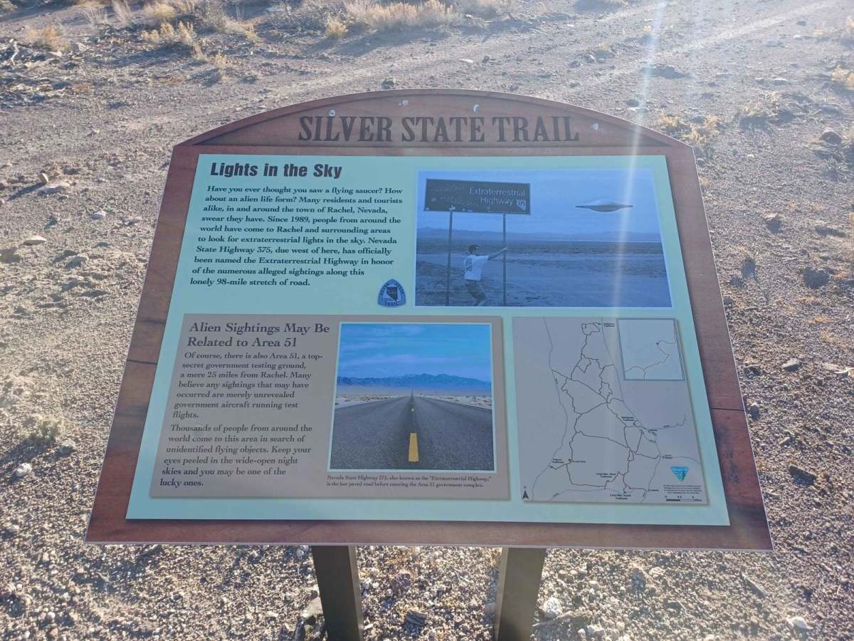
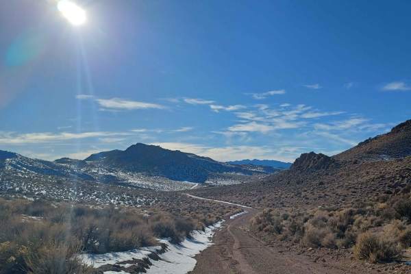
Upon reaching the intersection marked by the Silver State Trail sign, the route becomes exceptionally narrow, heavily overgrown with brush, and difficult to navigate. Drivers of larger-wheelbase rigs or those wishing to avoid heavy pin-striping should use the sign area as a turnaround point, as turning around becomes virtually impossible once committed to the tighter section. The trail eventually dead-ends, making reversing or maneuvering larger vehicles extremely difficult in the narrow corridor. Travelers should expect a technical rating of 2, with the main challenge being clearance and navigation through encroaching vegetation rather than major rock obstacles.
Access Description
The trail is located on public Bureau of Land Management (BLM) land. No special access permits or fees are required to drive the route, but all off-highway vehicles (OHVs) must display a valid Nevada OHV registration decal or a reciprocal registration from another state.

 Offroad