Trail Overview
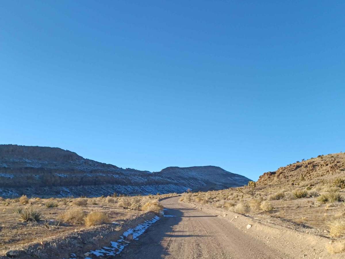
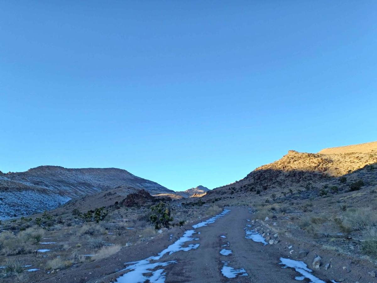
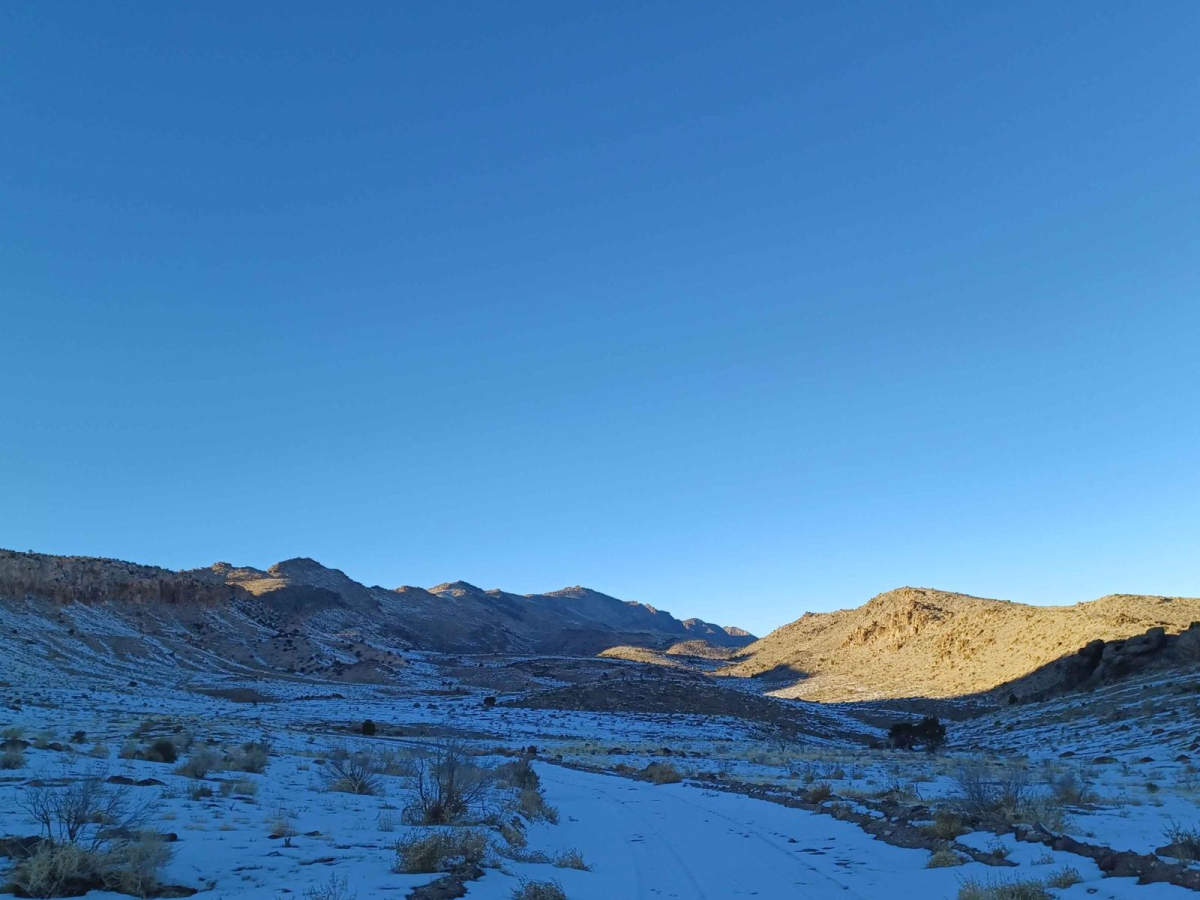
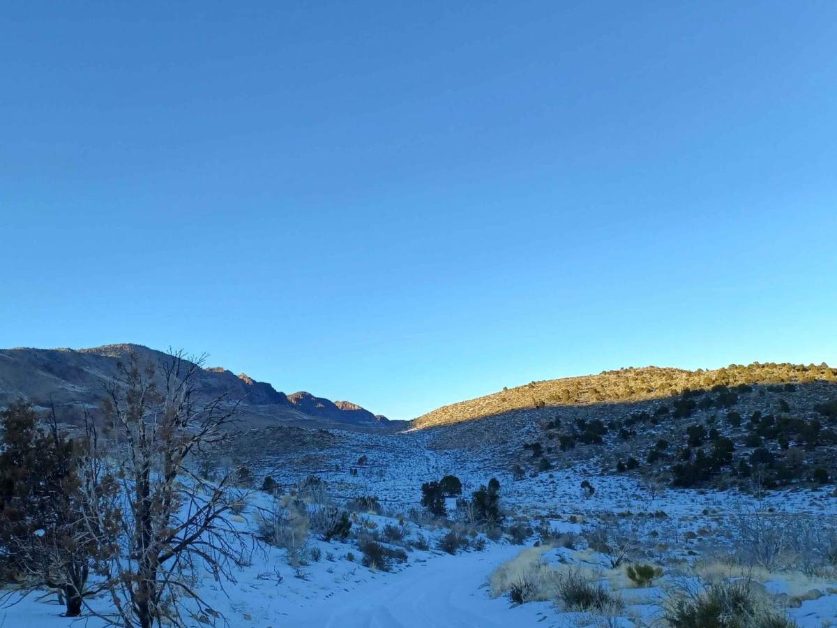
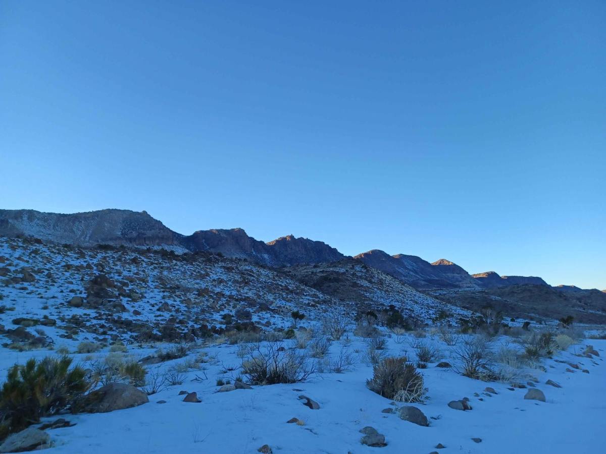
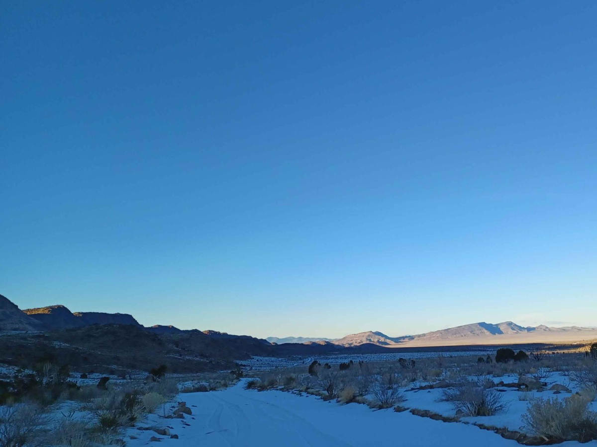
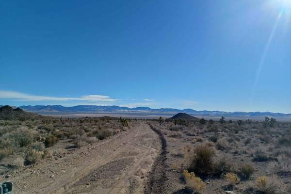
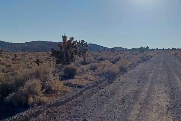
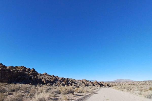
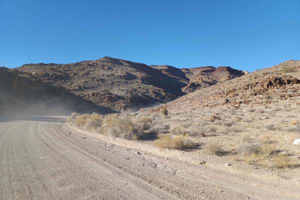
Twin Springs Road is an accessible, scenic point-to-point route ideal for beginners, overland enthusiasts, and anyone seeking a relaxed drive through Nevada's striking desert landscapes. Spanning approximately 14.5 miles, this route climbs from a minimum elevation of 4,831 feet up to a high point of 6,082 feet, offering expansive vistas of the surrounding valleys and the rugged peaks of the South Pahroc Range Wilderness. The trail traverses Bureau of Land Management lands, consisting mostly of a wide, relatively flat gravel and dirt surface that makes it highly approachable. Standard high-clearance vehicles and stock four-wheel-drive SUVs or SxSs will find the driving straightforward, with an overall technical rating of 1, though the road can quickly become slick and muddy during or after rainfall.
As travelers wind through the open desert terrain, they will experience a modest cumulative elevation gain of 1,437 feet, with gentle gradients that never exceed a 9-degree slope. While there are limited options for camping immediately adjacent to the trail, excellent developed facilities are available nearby in the town of Alamo, including free campsites at Upper Pahranagat Lake Campground complete with restrooms, picnic tables, and fire rings. The dry, dusty conditions typical of the area mean that spring, fall, and winter represent the best seasons to visit, avoiding the extreme heat of summer. Drivers should always carry plenty of water, monitor weather forecasts for sudden desert storms, and keep an eye out for local wildlife along the edges of the South Pahroc Range.

 Offroad