Trail Overview
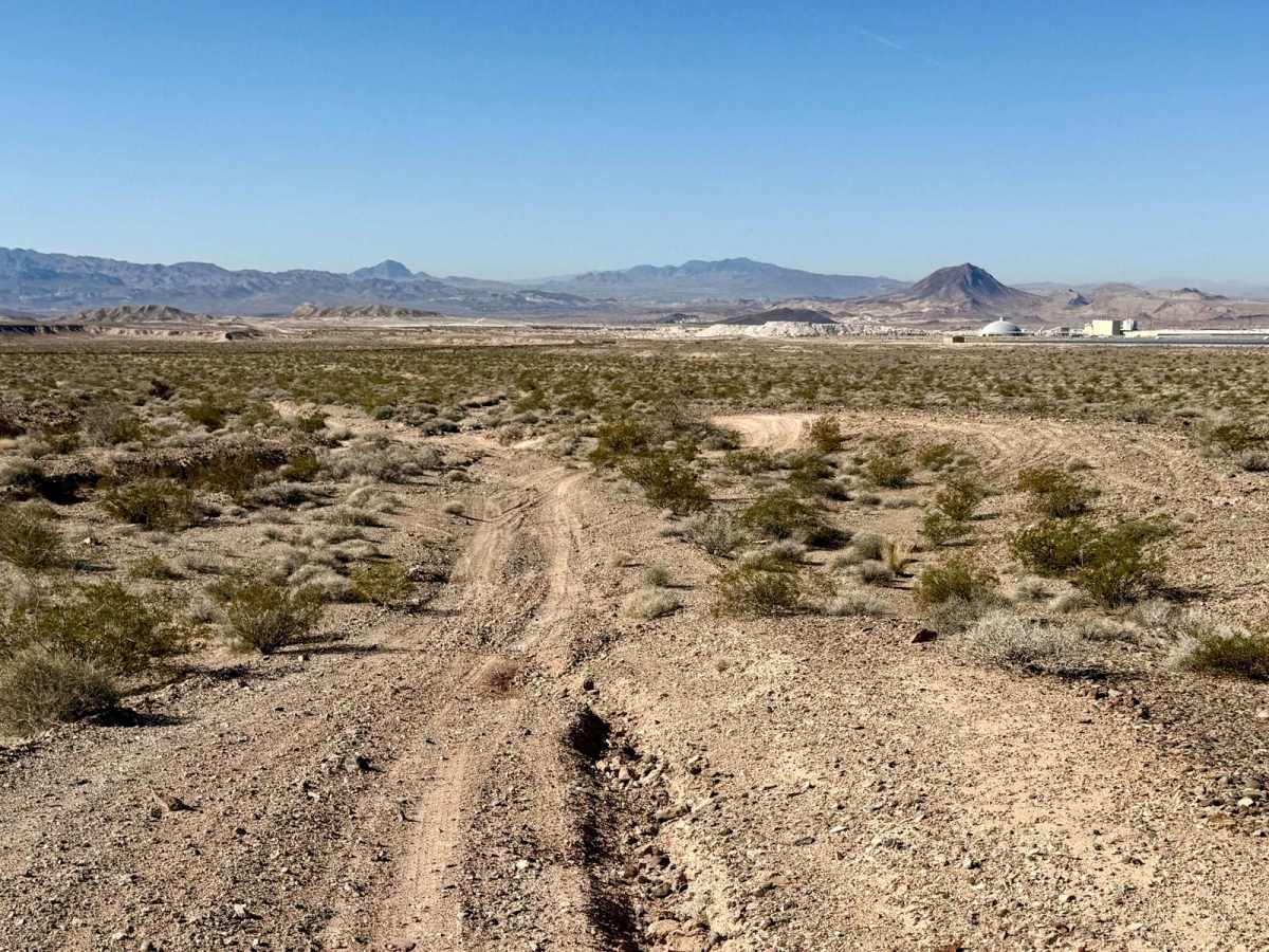
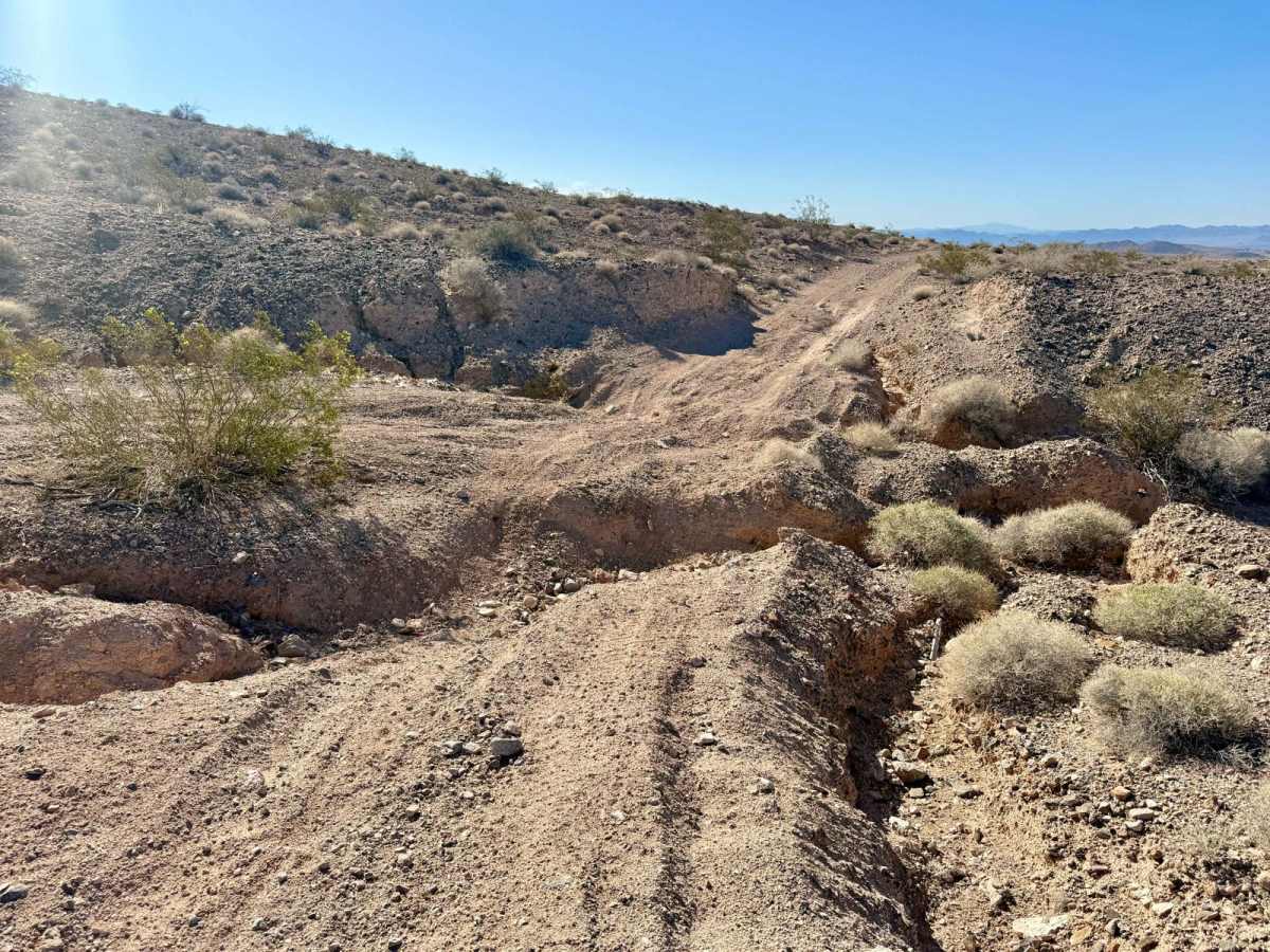
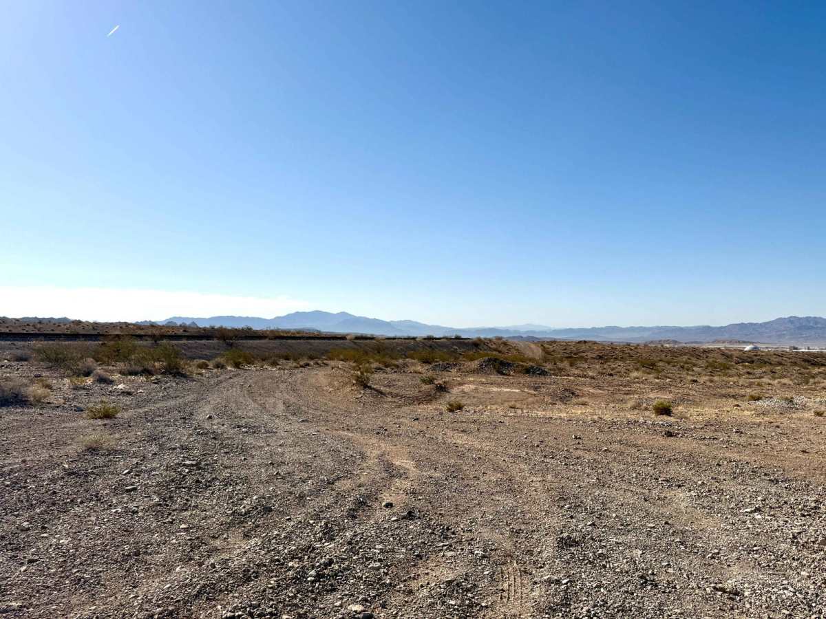
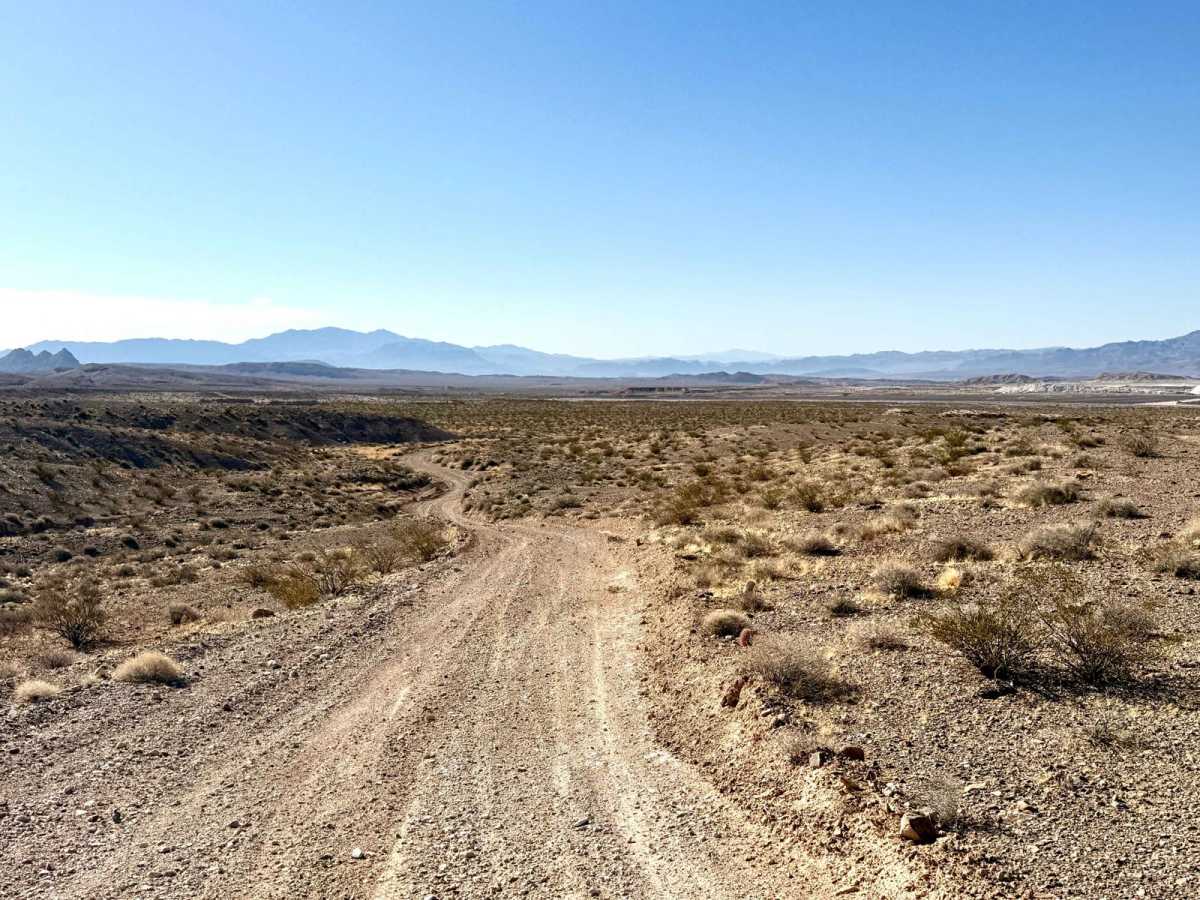
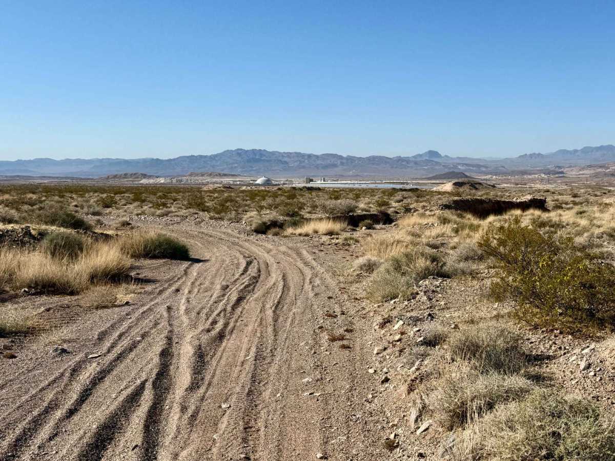
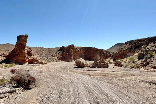
The Pabco Cutover is an adventurous route that travels across the northern side of the Pabco mining and drywall complex, offering a unique glimpse into the region's industrial landscape. This trail crosses over railroad tracks and runs alongside them for much of its length, adding an interesting dimension to your excursion. As you navigate The Pabco Cutover, you'll encounter frequent short loose hill climbs and numerous washouts and ruts that demand careful navigation. Some areas may have alternative braided paths to get around particularly troublesome sections, requiring attentiveness and skill to maintain a smooth ride. As you explore, expect three bars of LTE service for most of the trail, allowing you to stay connected as you venture through the area. Important Note: When accessing the Lake Mead National Recreation Area, familiarize yourself with the rules and regulations in place. A valid pass is required to enter the recreation area, which supports conservation efforts and helps maintain Lake Mead's great outdoor experience. Prepare for your adventure by bringing ample water and supplies, as conditions in the desert can change rapidly.
Difficulty
This trail is rated as a 4, reflecting the deep ruts and short, loose hill climbs that present a technical experience requiring advanced driving skills and careful maneuvering.