Trail Overview
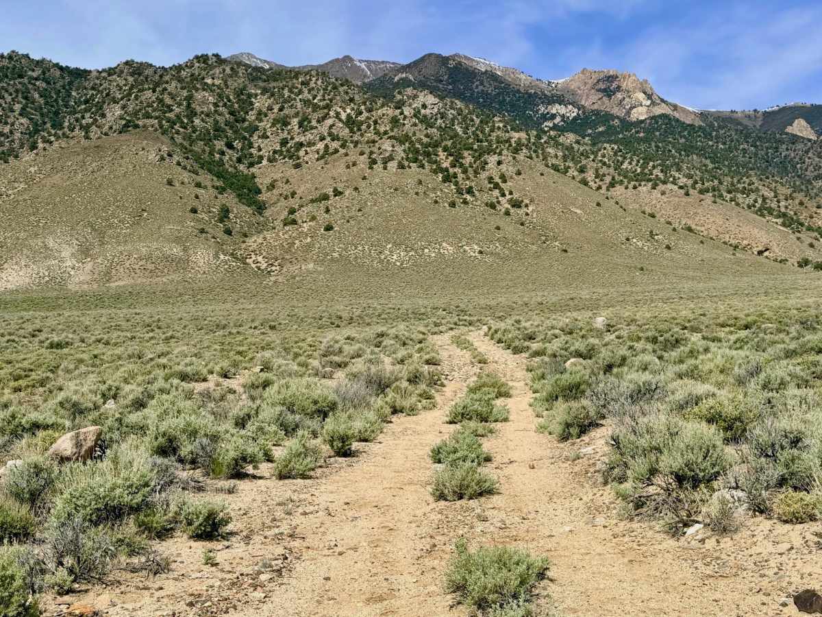
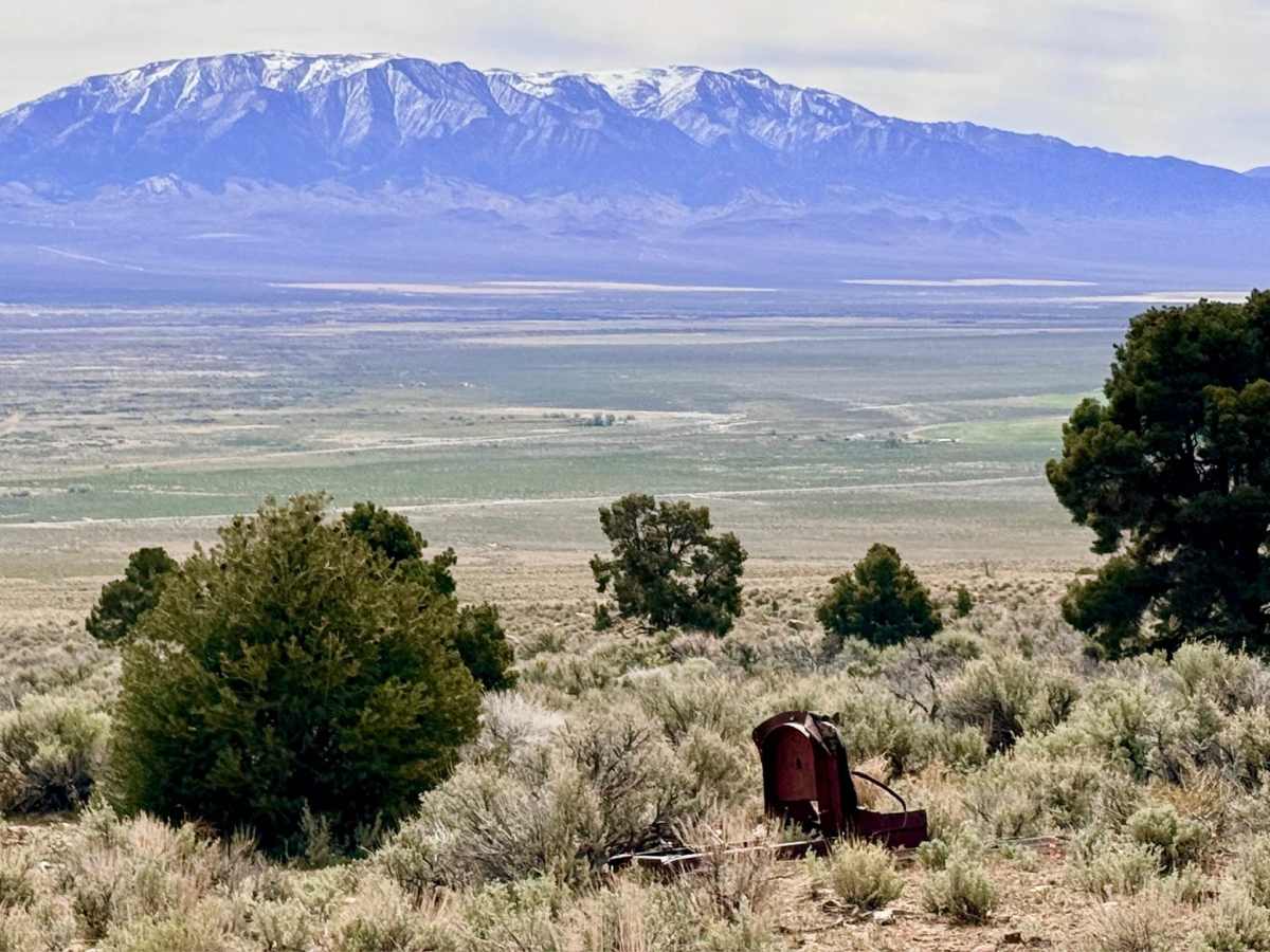
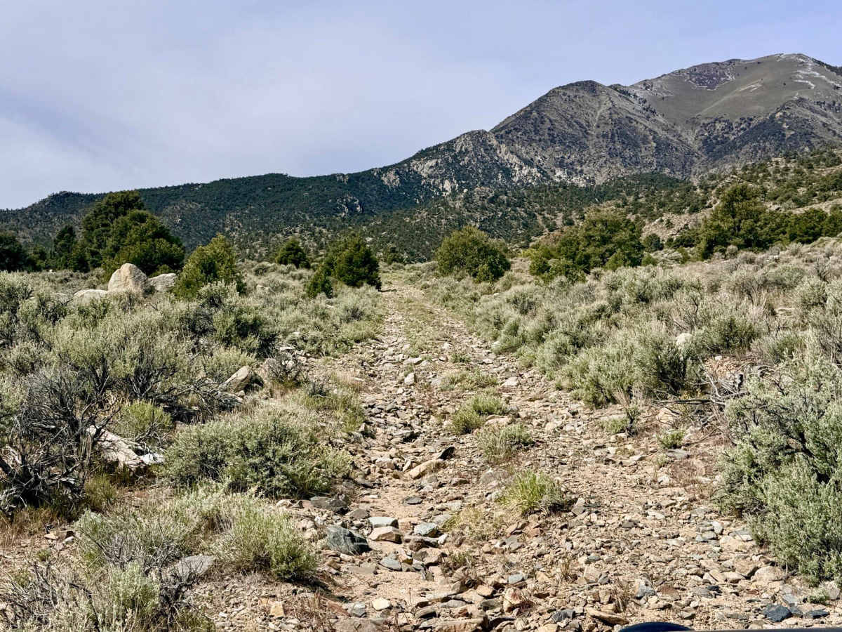
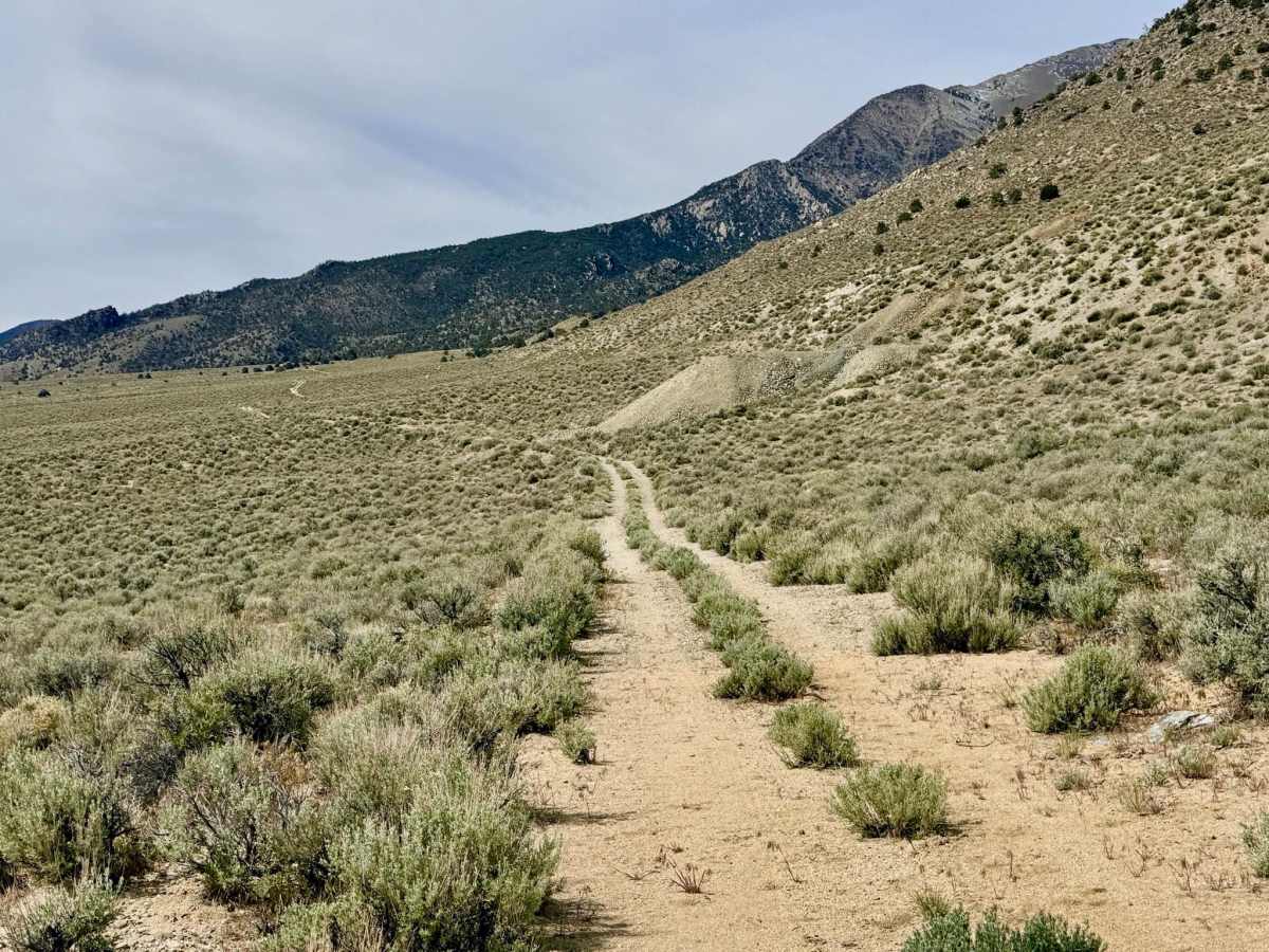
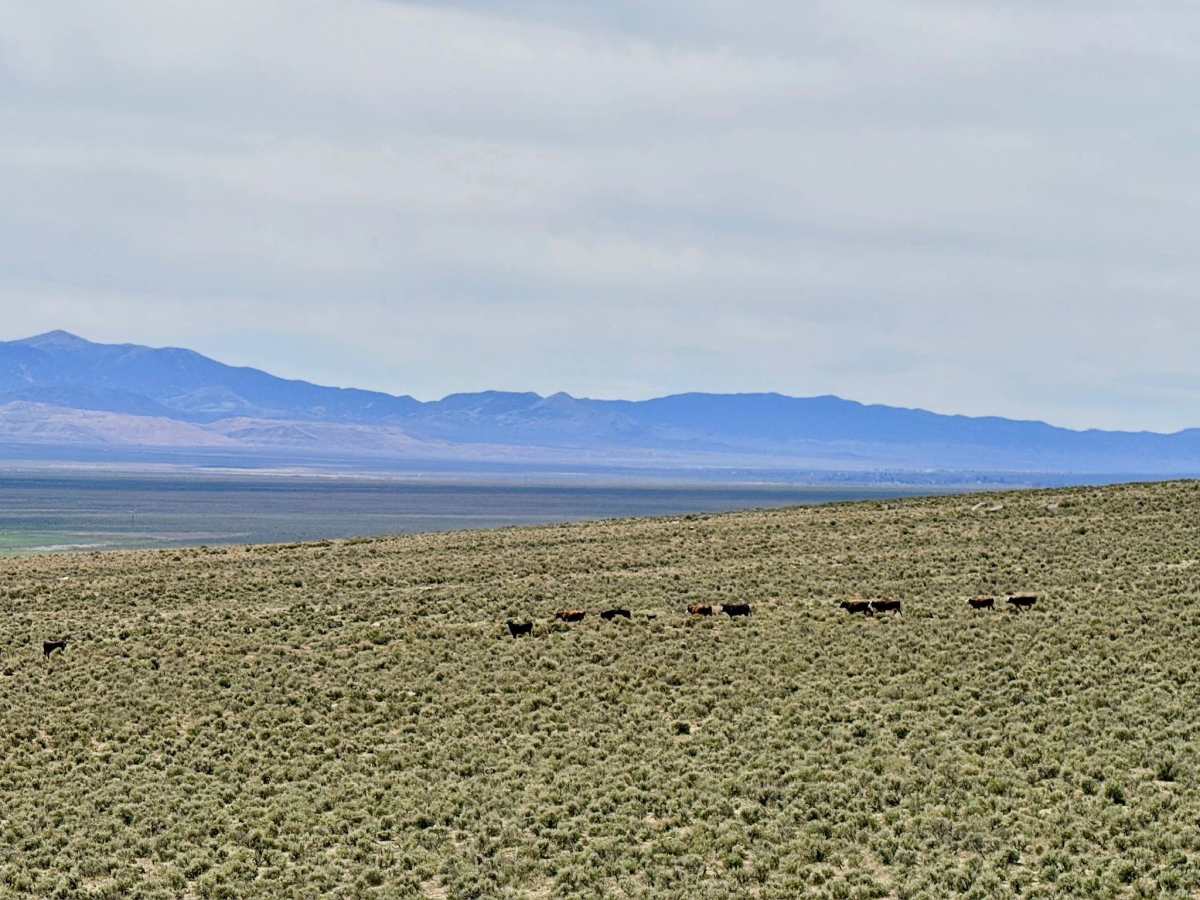
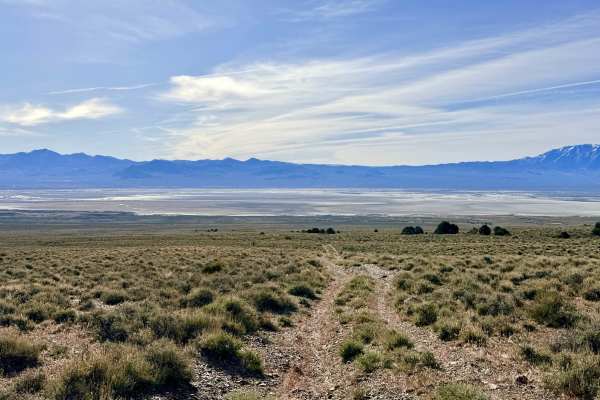
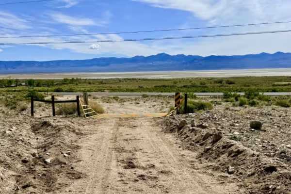
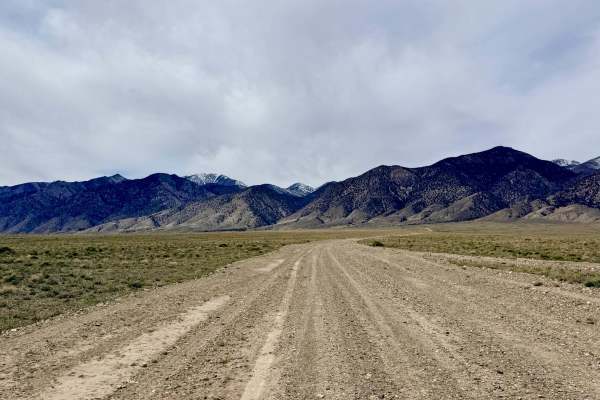
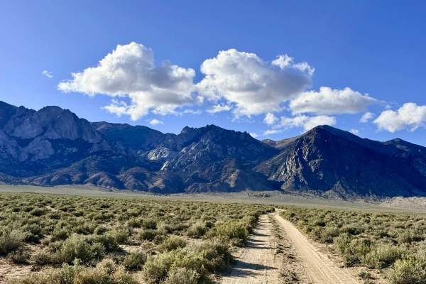
This Loop is an engaging, lightly traveled route that offers a scenic tour of the high-desert foothills. The trail offers a varied driving experience, beginning with relatively easy gravel and rocky sections that gradually transition into more technical terrain. As you loop through the hills, the landscape is dotted with the industrial "ghosts" of Nevada's past. Keep an eye out for old tailings piles and rusted remnants of mining equipment scattered amongst the sagebrush. The highlight of the loop is the crossing at Tamblin Creek, where the environment becomes lush, narrow, and overgrown. Navigating this section requires precise tire placement to "squeeze" through the encroaching vegetation. Drivers should be aware that a segment of the original trail further south is completely overgrown and impassable; however, a well-established two-track bypass exists to complete the loop. This bypass contains the trail's most significant challenge: a deep, off-camber wash crossing. The reward for this technical effort is a series of outstanding views and frequent wildlife sightings, including Pronghorn Antelope and Mule Deer. This is active cattle country. Uniquely in this area, the trail often offers full LTE cellular service, though it is always recommended to download offline maps in case of signal drops in the deeper draws.
Difficulty
Rated a 4 specifically for the deep, off-camber wash crossing on the southern bypass and the narrow, overgrown creek crossing. These sections require a capable vehicle and an experienced driver to manage lopsided ruts and steep transitions. Do not attempt to follow the original southern track shown on older maps, as it is no longer passable. Follow the established two-track bypass to complete the loop.