Stonewall Trailhead

Total Miles12.6
Technical Rating
3Easy
Best TimeSpring
Trail TypeFull-Width Road
Accessible By
Open Trail Map

Trail Overview

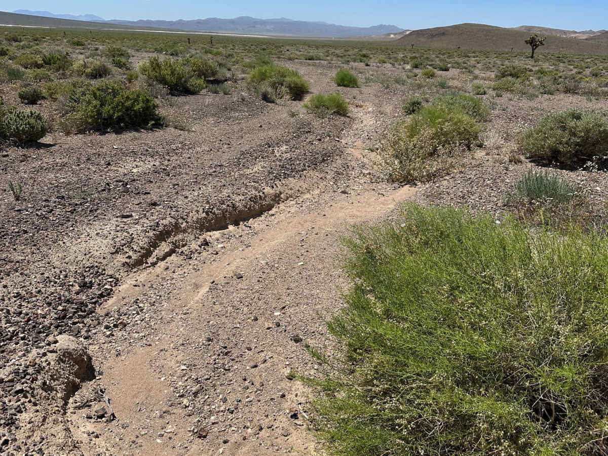
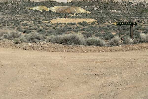
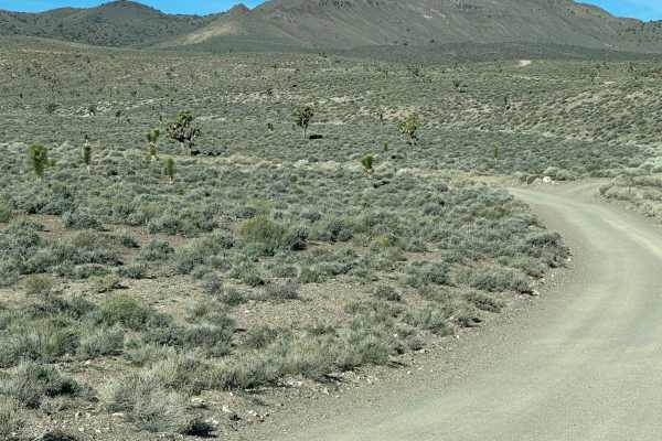
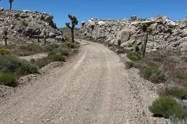
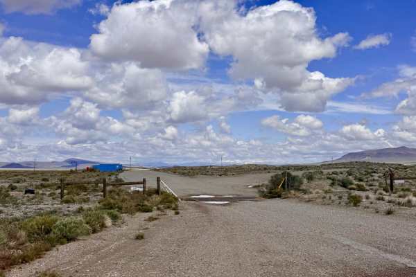
This route leaves the graded Chrispa Hills road and follows a trail down a seasonal wash. The wash is packed gravel, easy for any 4x4, but could be sketchy during a rain event. The endpoint is at the US government fence/boundary. Access is controlled by the base commander; see details in the second photo.

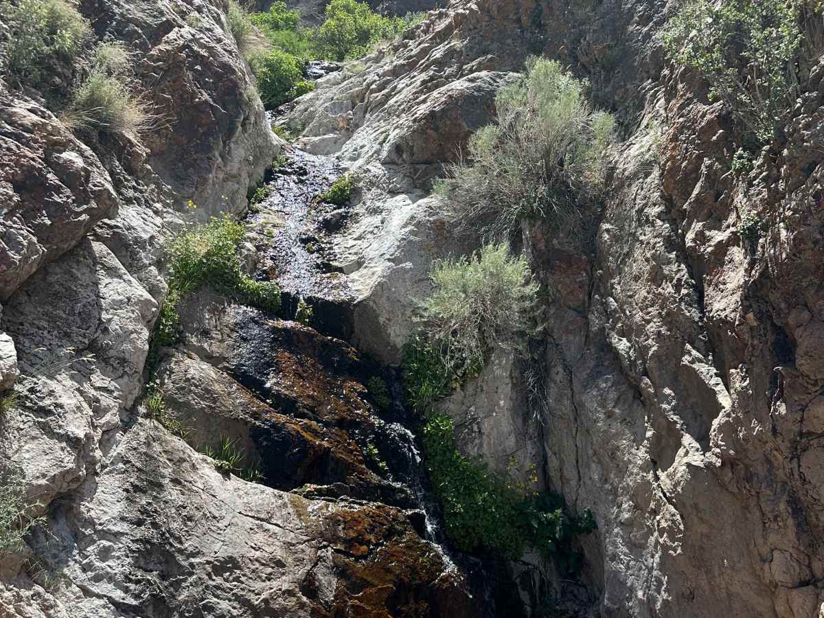
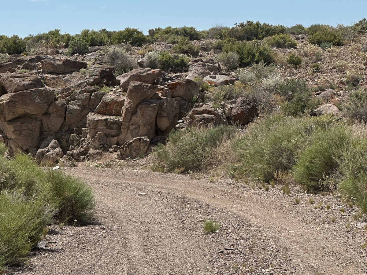
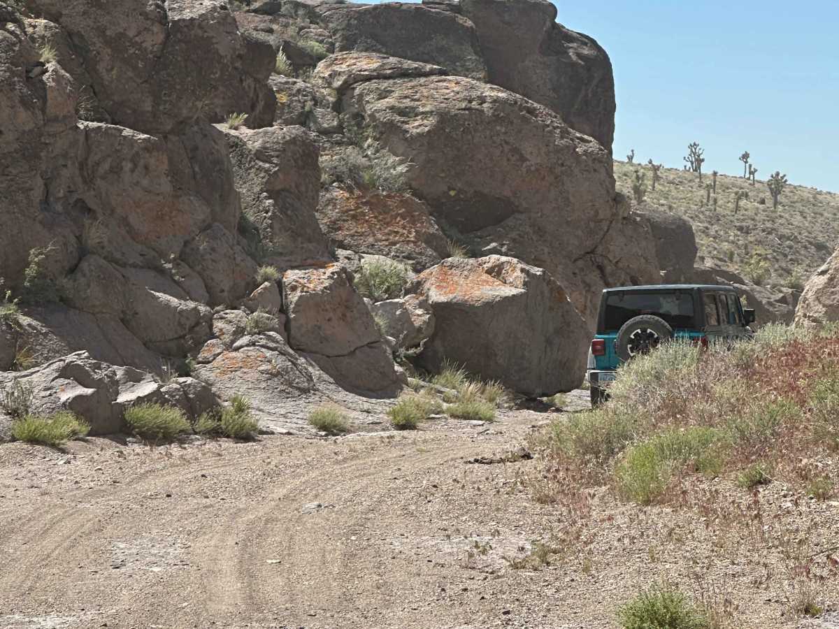
Photos of Stonewall Trailhead

Difficulty

Completed by a group of ATVs, SxS, and Jeeps, all had no problem. Most of the route can be done in 2WD, with sections of 4x4 advised.

Technical Rating

3

Stonewall Trailhead Trail can be accessed by the following ride types:

  • Single Track
  • 50 Inch
  • 60 Inch
  • High Clearance
  • Full Width

Stonewall Trailhead Map

The onX Offroad Difference

onX Offroad combines trail photos, descriptions, difficulty ratings, width restrictions, seasonality, and more in a user-friendly interface. Available on all devices, with offline access and full compatibility with CarPlay and Android Auto. Discover what you're missing today!

Open Trail Map