Silver King to Middle Silver State Trail

Total Miles8.2
Technical Rating
2Easy
Best TimeFall, Summer, Spring
Trail TypeFull-Width Road
Accessible By
Open Trail Map

Trail Overview

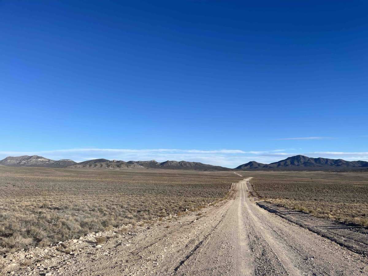
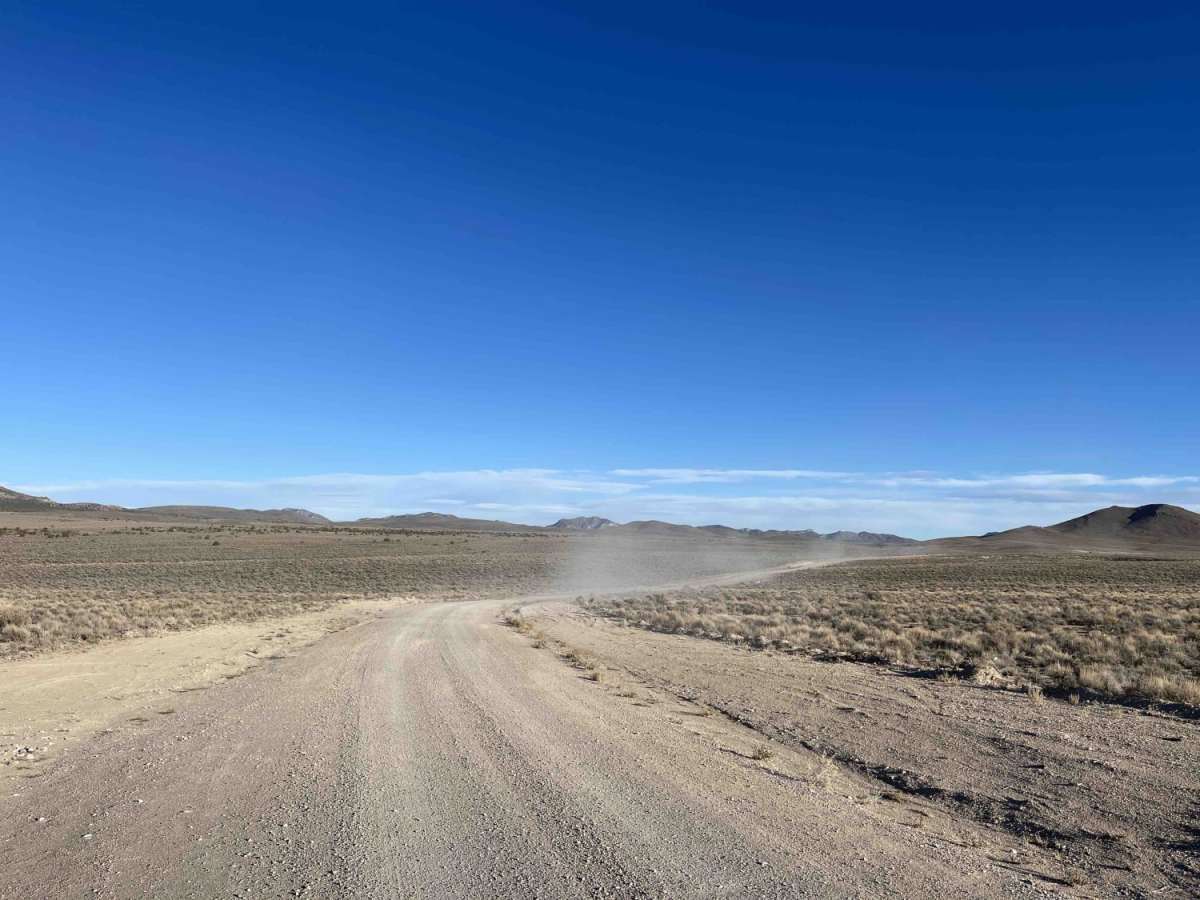
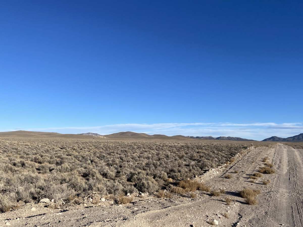
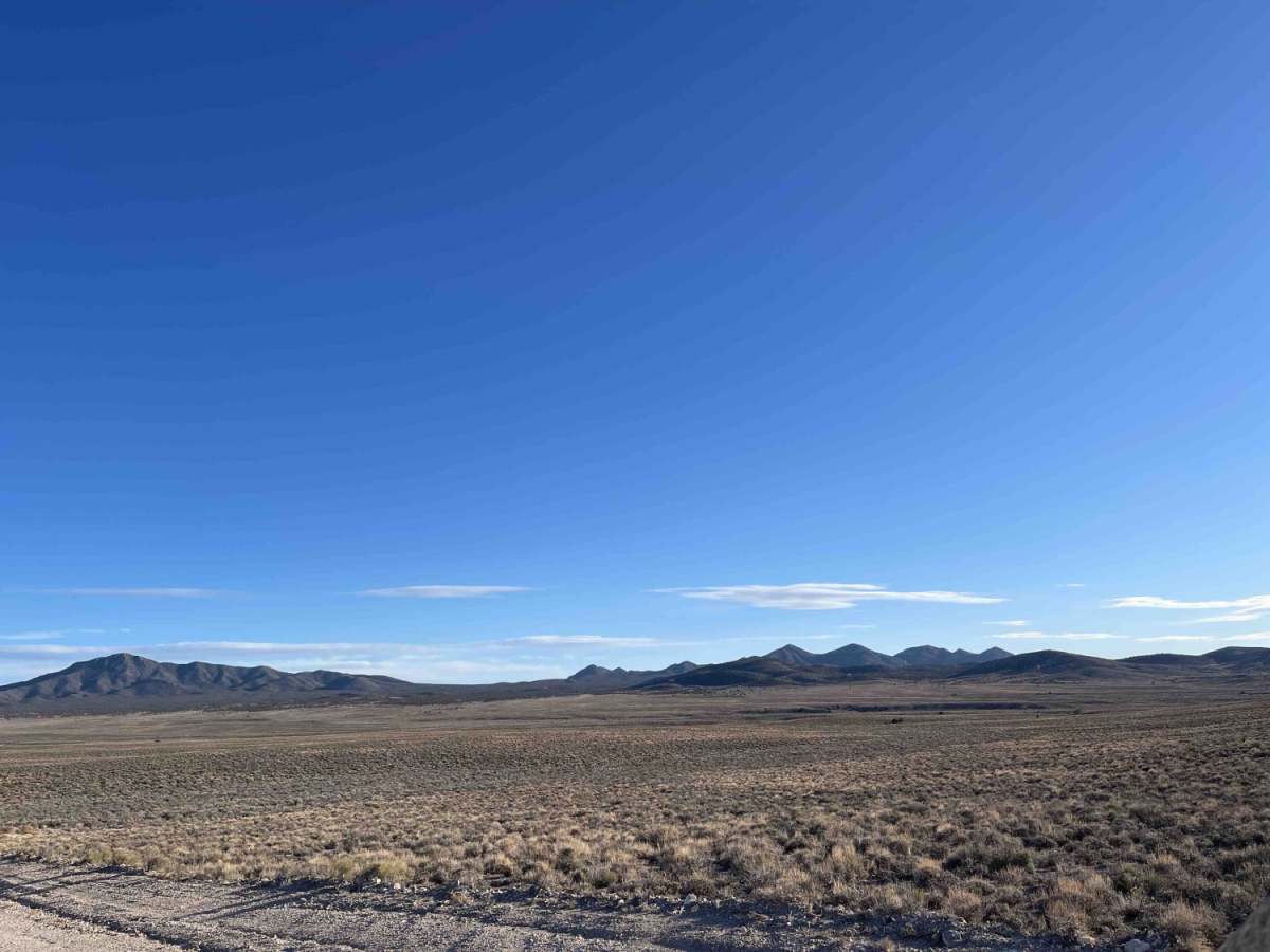
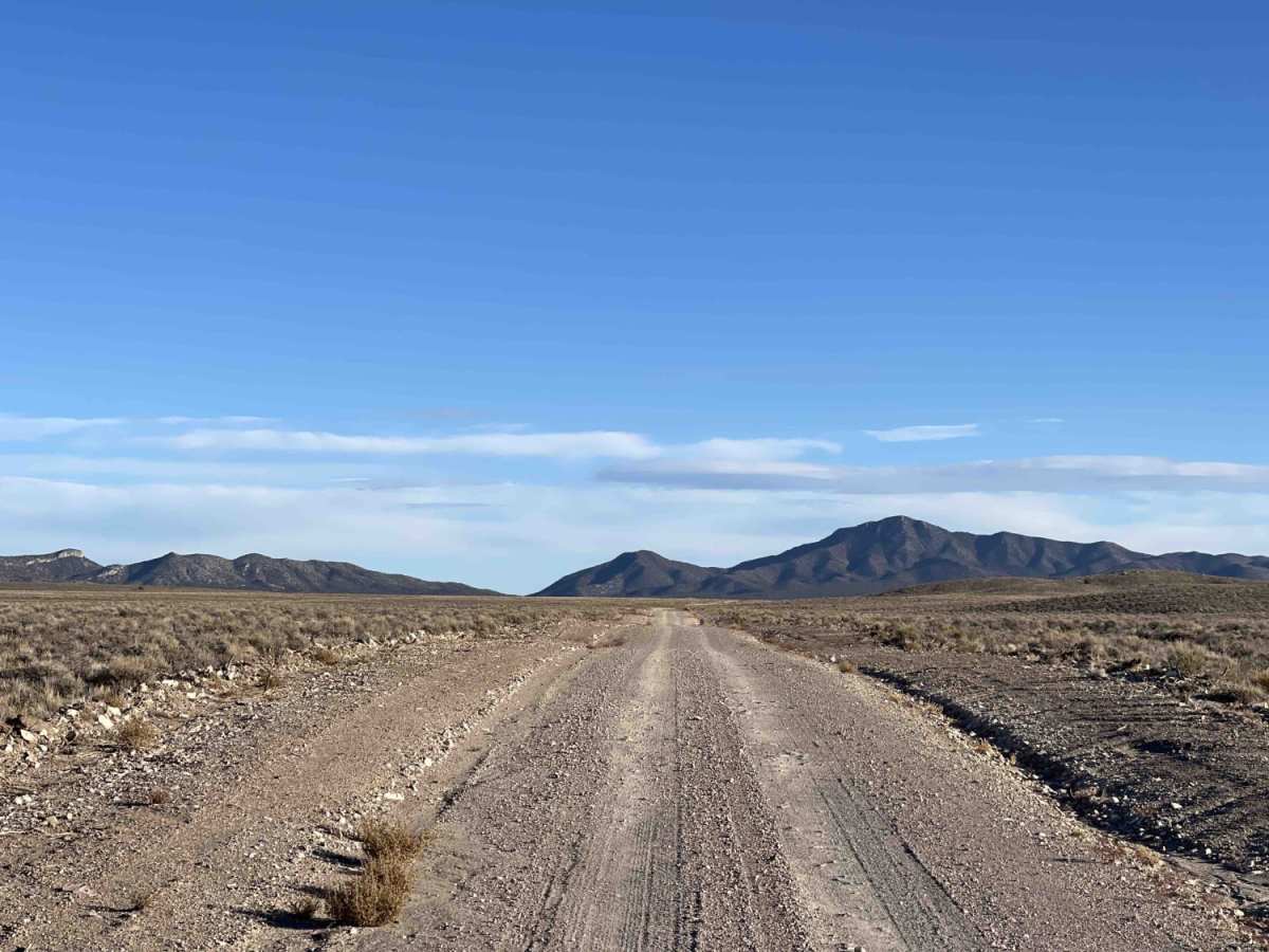
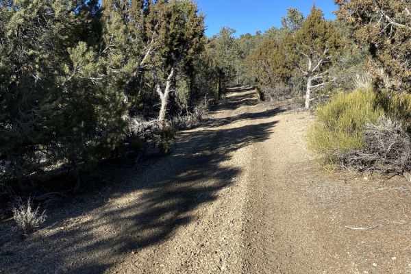
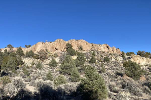
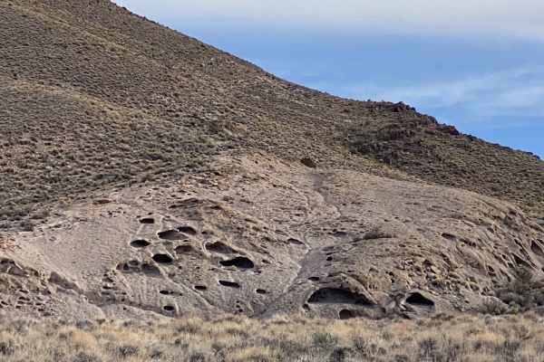
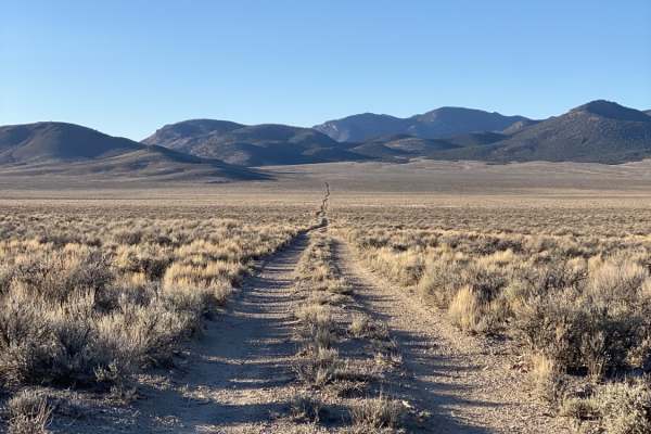
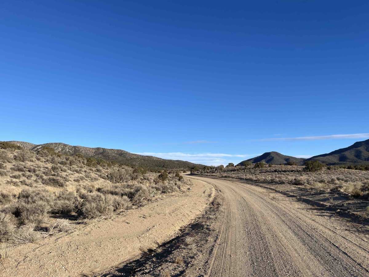
Silver King to Middle Silver State Trail is a scenic, straightforward offroad route through Nevada's high desert, offering views of Gap Mountain. Extending 8.2 miles, this wide, graded dirt trail serves as a gateway to the region's larger trail network. It rises from 5,715 feet to 6,208 feet with a gentle 556-foot elevation gain, making it accessible for two-wheel-drive vehicles with decent clearance in dry conditions. The route traverses open desert plains and rolling foothills with juniper forests. Because the trail crosses several dry washes, avoid travel during heavy rains due to flash flood risks. There is no winter maintenance or cellular service along this route.

Photos of Silver King to Middle Silver State Trail

Difficulty

Ease main access trail that could be washed out in the rainy season and no winter maintenance. Wide trail

Technical Rating

2

Silver King to Middle Silver State Trail Trail can be accessed by the following ride types:

  • Single Track
  • 50 Inch
  • 60 Inch
  • High Clearance
  • Full Width

Access Description

There are no fees or permits required to access this route, which is located on public land. The trail is not maintained during the winter months, and travel should be avoided during or immediately after heavy rainstorms due to the risk of active wash flooding. No cellular service is available, so visitors must carry offline navigation and emergency supplies.

Silver King to Middle Silver State Trail Map

The onX Offroad Difference

onX Offroad combines trail photos, descriptions, difficulty ratings, width restrictions, seasonality, and more in a user-friendly interface. Available on all devices, with offline access and full compatibility with CarPlay and Android Auto. Discover what you're missing today!

Open Trail Map