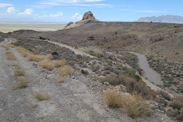
Trail Overview
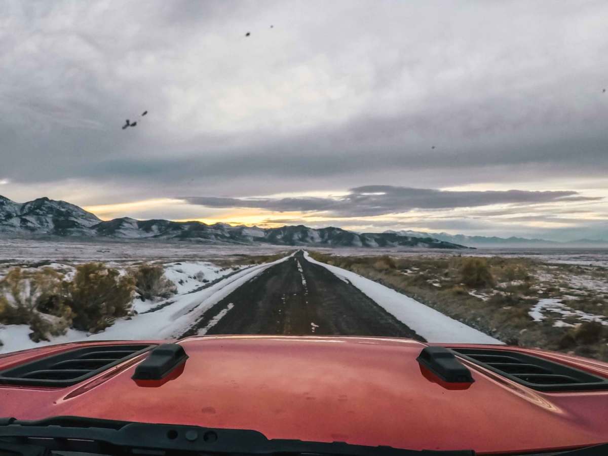
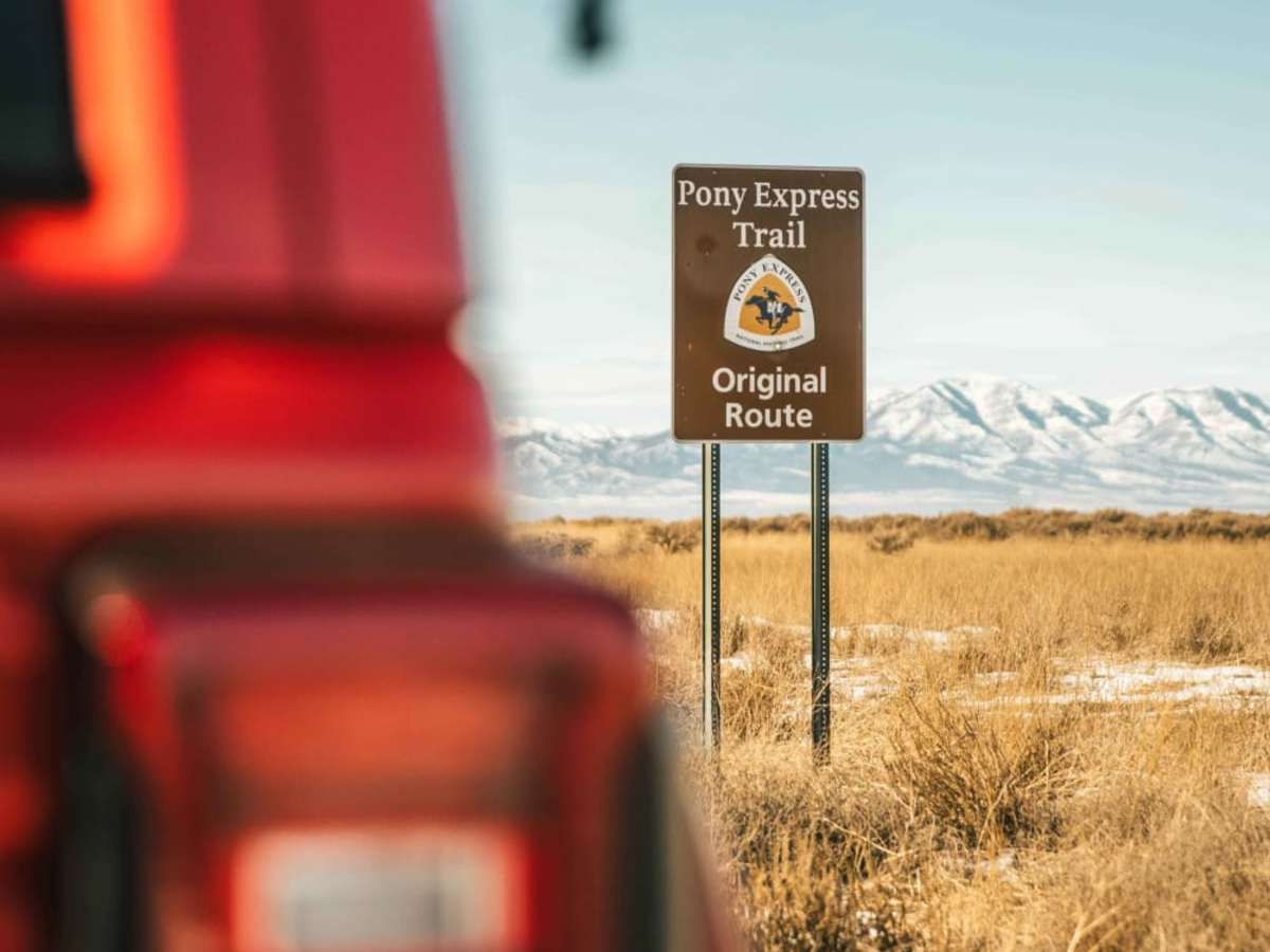
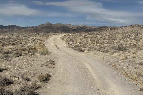
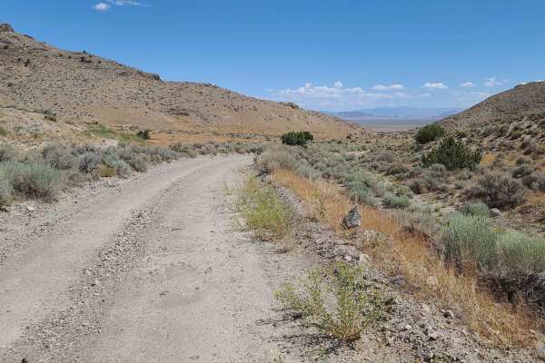
The historic Pony Express Trail is one of the few domestic overland routes accessible to the public. This route follows, as closely as possible, the original trail ridden over 160 years ago on horseback. Make sure to pack plenty of fuel, a flat repair kit, and enough food for four days of travel. In the summer and fall, trail conditions are extremely dusty and can cause various vehicle failures. Use caution when traveling across silt fields, as visibility will be impaired and ruts can be easily hidden under the soft soil. As you approach the Diamond Mountain pass, you have the option to approach the canyon or head South down the 892 into Eureka. Bypassing the canyon is recommended for winter travelers and those who do not wish to pass through rough and narrow overgrowth. This bypass is a great way to make sure you get a mid-route fuel stop in before continuing on. If you're attempting this trail in winter, pay attention to snowfall reports. The Eastern Sierras are notorious for heavy snow-we all remember the Donner party. Cell service is spotty, so be sure to carry an alternate form of communication.
History
The story for the Pony Express begins in 1855 when 3 men were contracted to be freighters for the United States War Department. They were William Hepburn Russell, Alexander Majors, and William Bradford Waddell.Between 1855 and 1856 the three men saw huge profits, over three-hundred thousand dollars -- Comparable to almost ten million dollars today.However, in mid-1857, President James Buchanan sent 2,500 armed forces to the Utah Territory to remove the then Governor, Brigham Young, and have him replaced with the federally appointed Alfred Cumming, who was the only person willing to accept the position offered by the President after others had refused.As the official freighting company of the War Department, Russell, Majors, and Waddell had to push their credit limits to afford to move the three million pounds of freight required during the Utah War.One tactic of those fighting in Utah Territory against the Federal siege was to attack and stop any supply convoys that were heading between Missouri, the headquarters of Russel, Majors, and Waddell, and the Utah Territory.This, unfortunately, came at great expense to the company. They lost over one-hundred and twenty-five thousand dollars. And after maxing out their credit, couldn't fund the rest of their freighting as required by the War Department.This left congress unhappy and unwilling to pay the men for their efforts.In 1858, following the conclusion of the Utah War, and after accumulating hundreds of thousands of dollars of debt that couldn't be paid back due to the government's delays and refusals, the three men parted ways.William Russell, who was always ready to start a new venture, moved his business into private stage-coaching. Transporting would be prospectors into the Rocky Mountains via his newly founded Leavenworth City and Pike's Peak Express Company.As 1859 began to conclude the Leavenworth City and Pike's Peak Express Company was struggling.As Majors and Waddell watched their old partner, they realized the collapse of Russell's latest investment could mean their demise as well and they needed to help bail him out. And once again, the three men were partners in freighting.The purchase of the Leavenworth City and Pike's Peak Express Company was finalized in October 1859, and the name subsequently changed to the Central Overland California & Pike's Peak Express Company.This name change was a shinning hope as the three men now had a new alias to seek funding for their next big project, The Pony Express.1860 was a tumultuous time for the United States. The Country was politically and physically divided.Oregon and California were the two newest states to the Union and sat across thousands of miles of territories and indigenous people's lands.The North and the South were at odds as Slavery was under scrutiny and the country teetered on civil war.Russell, Majors, and Waddell, saw this as an opportunity, as any savvy businessman would, to connect the country via information.With a route that would run from St. Joseph, Missouri into Sacramento, California, these three men could make a potential fortune and pay off their debts.Thus the Pony Express was founded.Promising just ten days to move mail between Saint Joseph and Sacramento, they would be the fasted mail service in the world.