Trail Overview
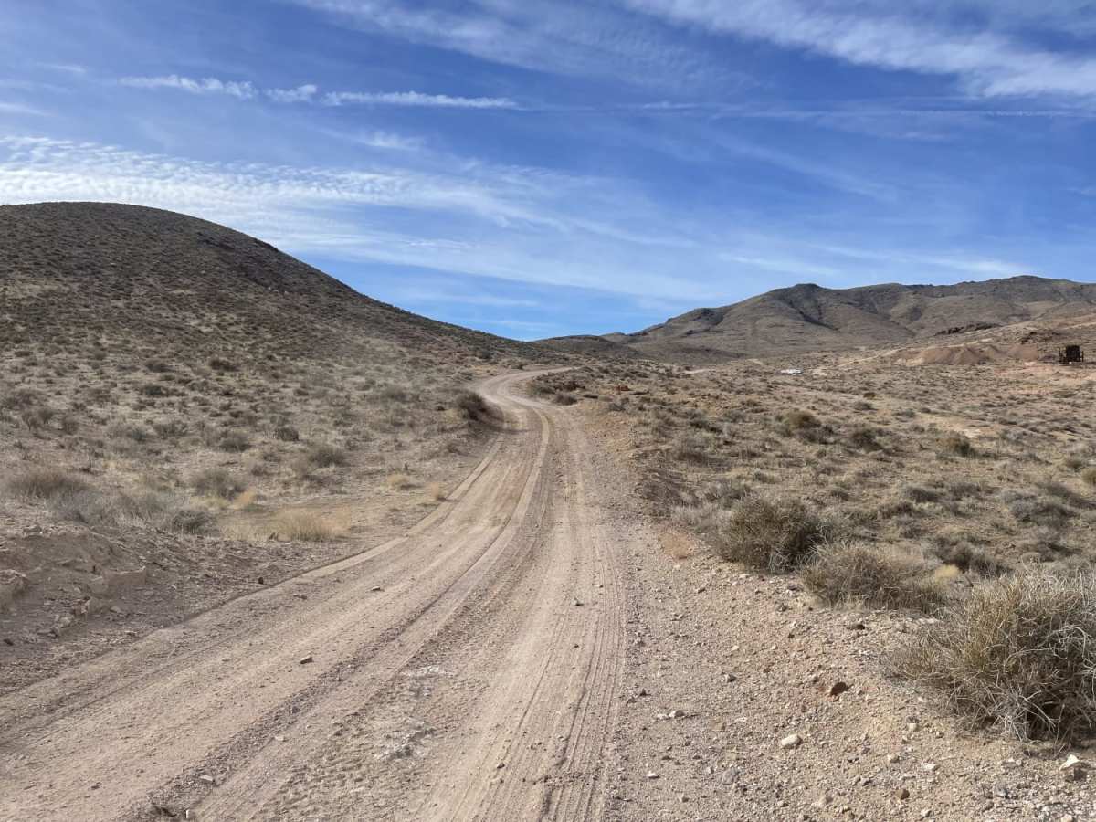
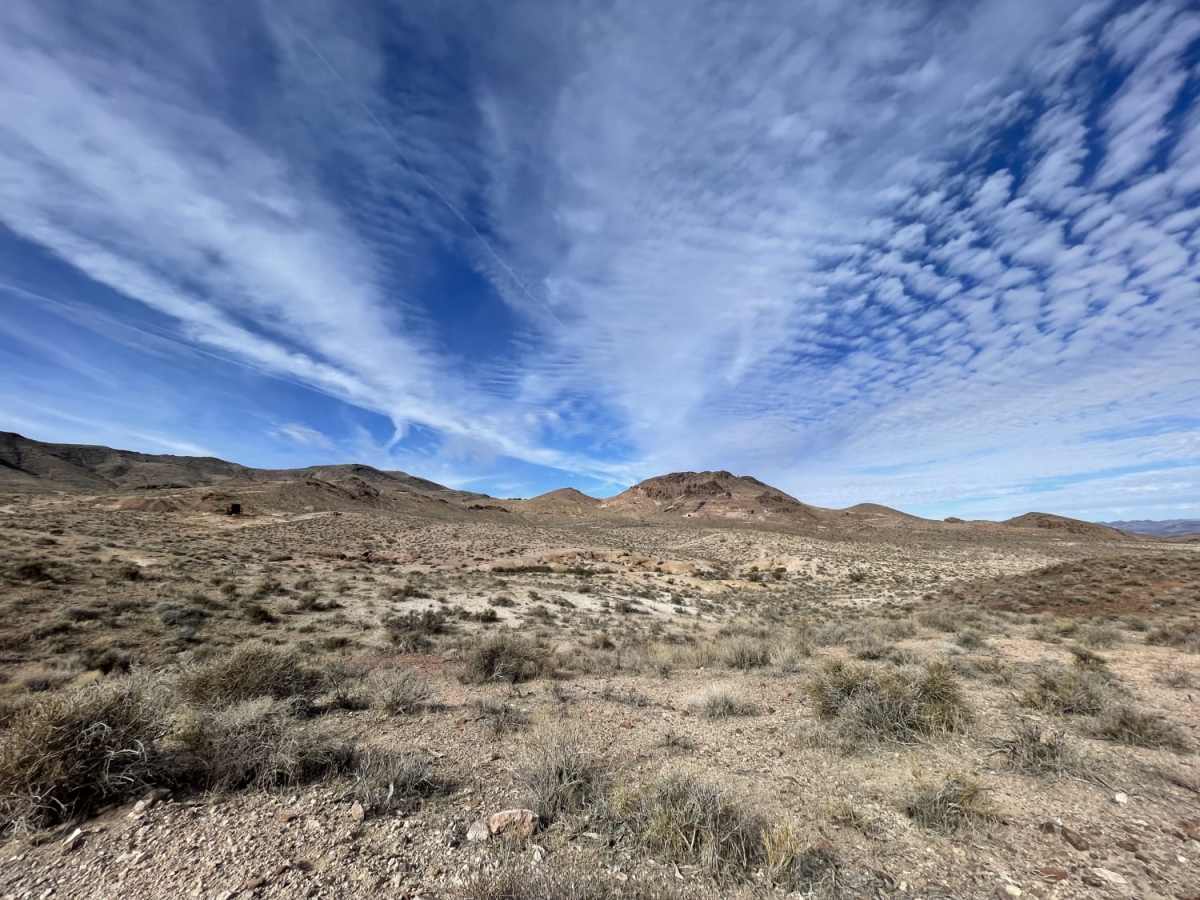
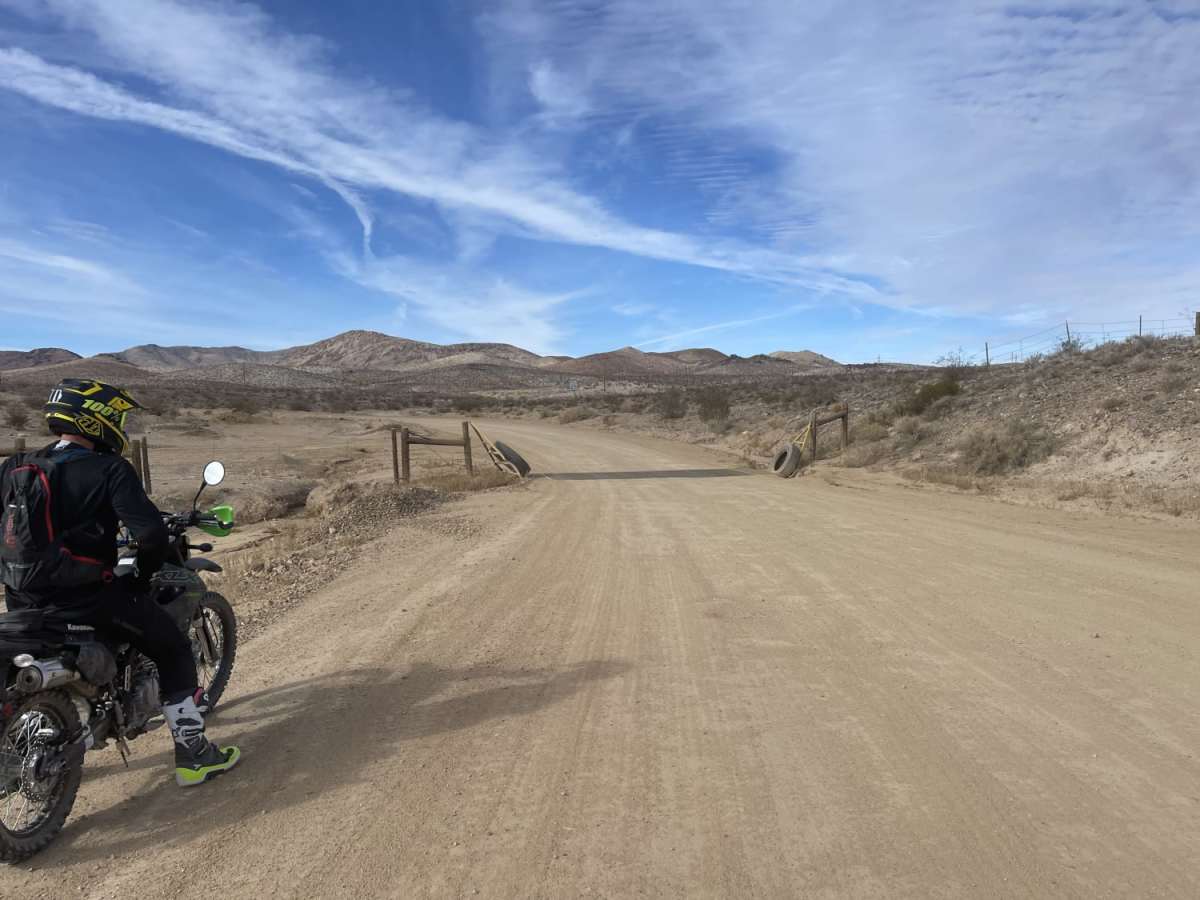
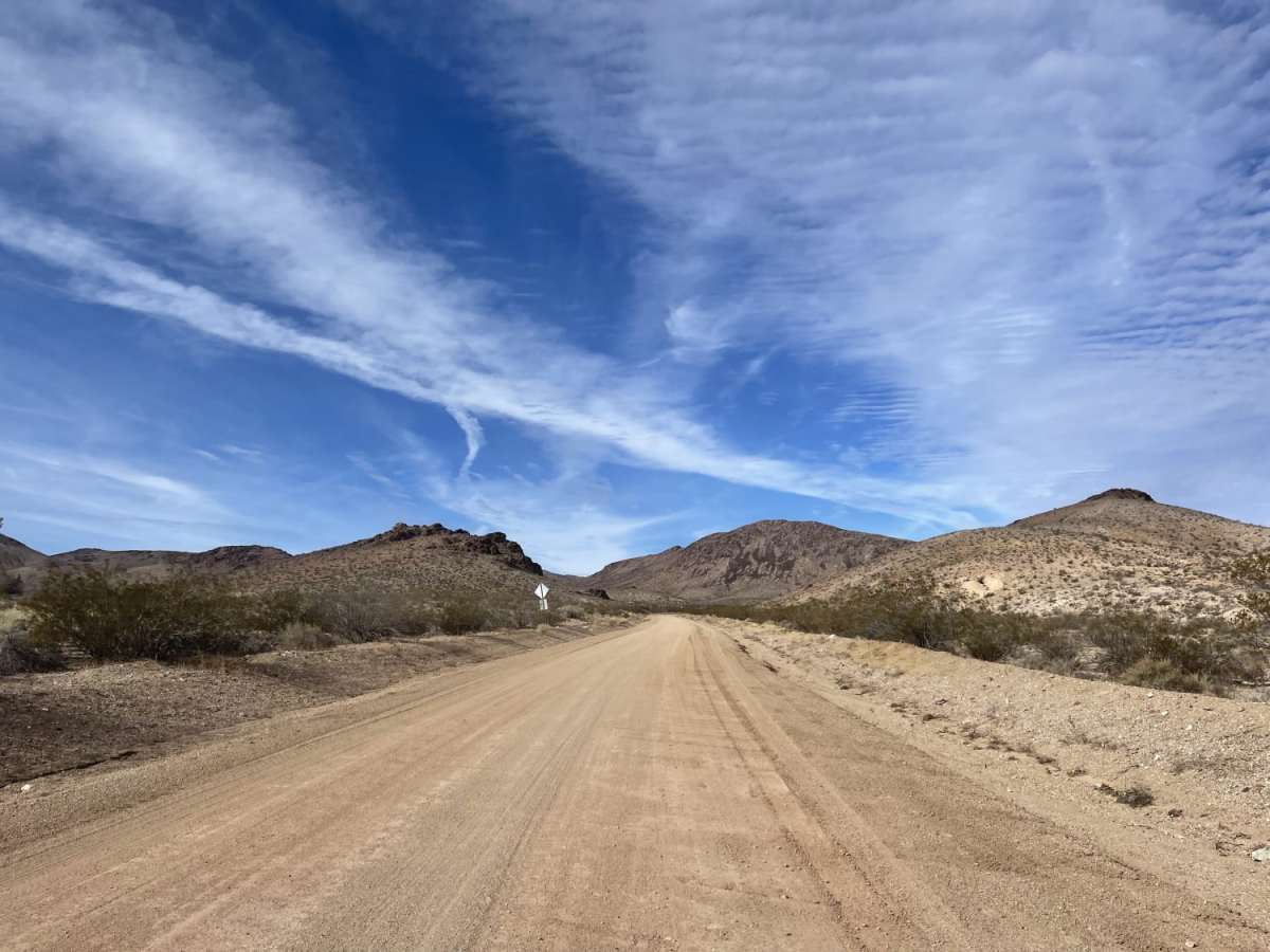
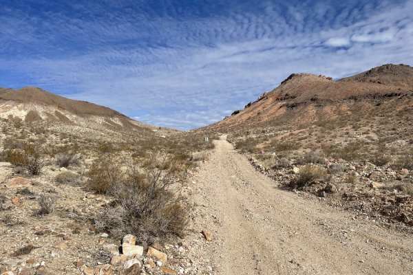
Pioneer Road is a beginner-friendly offroad route near Beatty, Nevada, that offers an easy, scenic journey through the historic Bullfrog-Pioneer Mining District to the abandoned Mayflower Gold Mine. Spanning approximately 3.8 miles, this well-graded dirt and gravel trail climbs gently from an elevation of 3,639 feet to 4,278 feet, gaining about 638 feet along the way. Most of the trail features a wide, gentle surface with some washboarding, making it accessible to stock high-clearance vehicles, SxSs, and standard four-wheel-drive rigs. As the route winds westward, it provides expansive desert views of the surrounding Great Basin geomorphology, characterized by ancient Pliocene tuff rock formations.
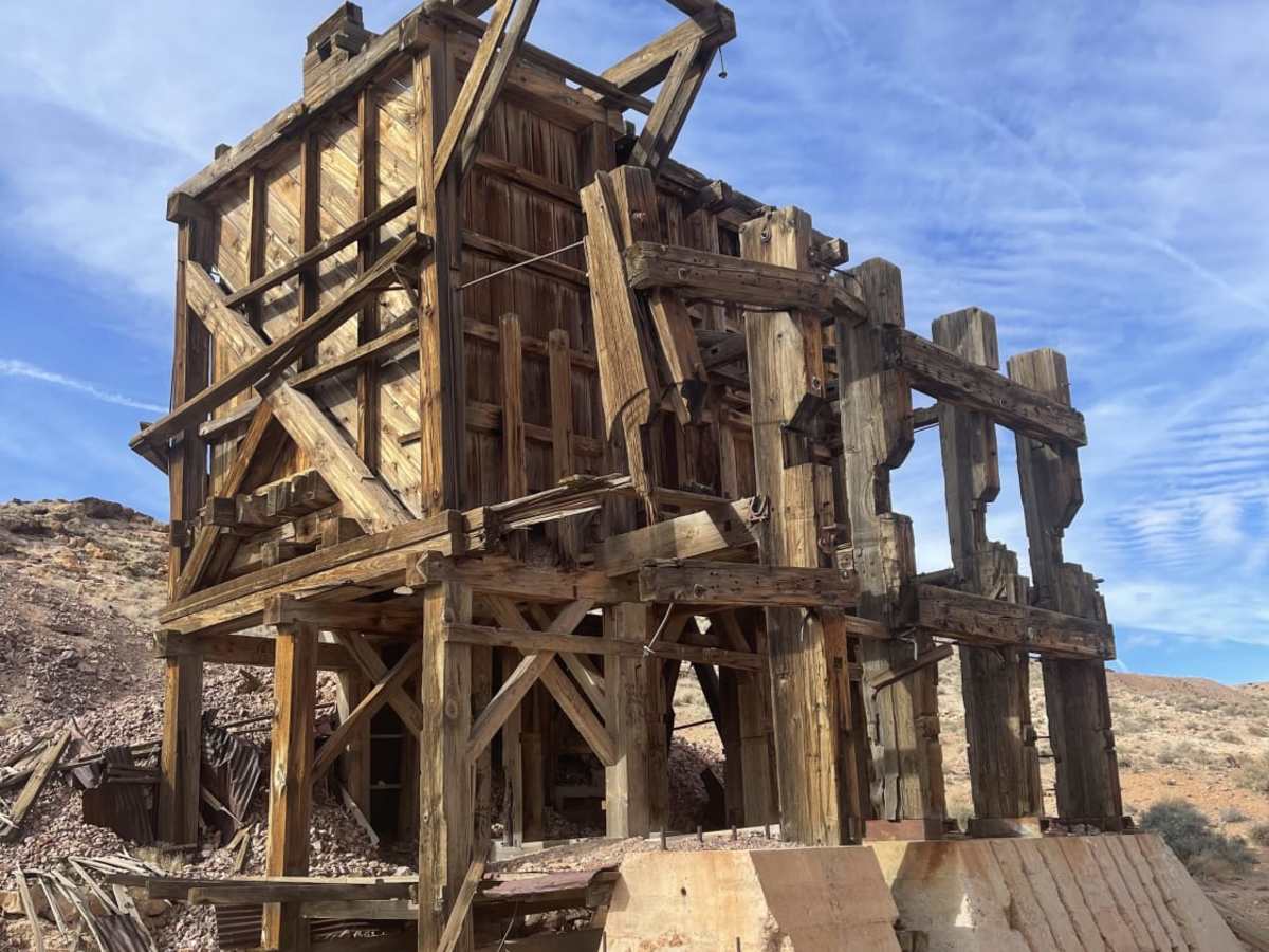
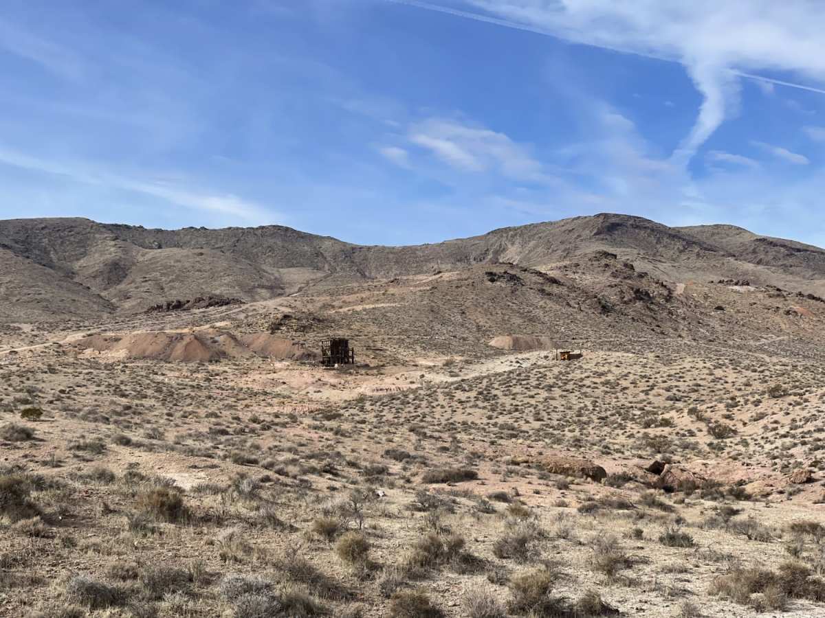
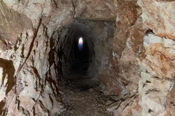
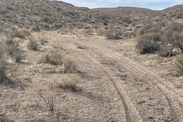
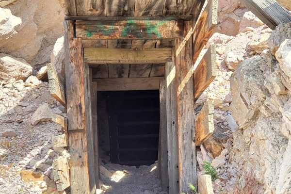
While the majority of the route maintains an easy technical difficulty, the final 100 yards leading directly to the historic mine workings become significantly rougher and may require high clearance or standard four-wheel-drive, though visitors can easily walk this short final section. Cell service is limited, with about two bars of LTE coverage near the highway and no reception near the mine site. Dispersed camping is plentiful around the trail's end near the Mayflower Mine, where explorers can view historical remnants of the underground workings, though caution must be exercised near any shafts and steep drops. The route begins directly off US Highway 95 (Veterans Memorial Highway), providing quick and convenient access for those looking to combine a quick offroad drive with historic desert exploration.
History
The Mayflower Gold Mine is located near Beatty, Nevada, in the historic Bullfrog-Pioneer Mining District, which borders Death Valley National Park. Active primarily in the past as a small-scale underground operation, the mine features one known shaft and underground workings extending up to 3,500 feet (1,067 meters). The gold ore here was mined from a narrow vein about 5 feet (1.52 meters) wide, embedded within Pliocene epoch tuff formations dating back 2.58 to 5.33 million years. Today, the mine is closed with no plans to reopen, representing a quiet piece of Great Basin mining history.