Trail Overview
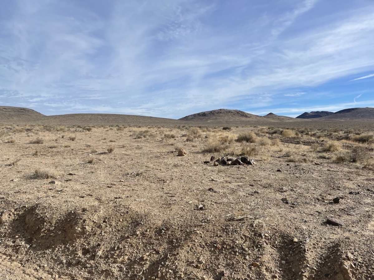
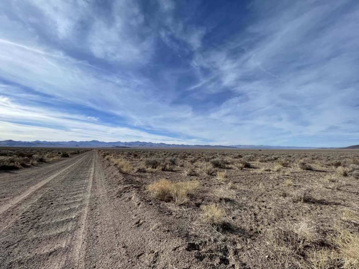
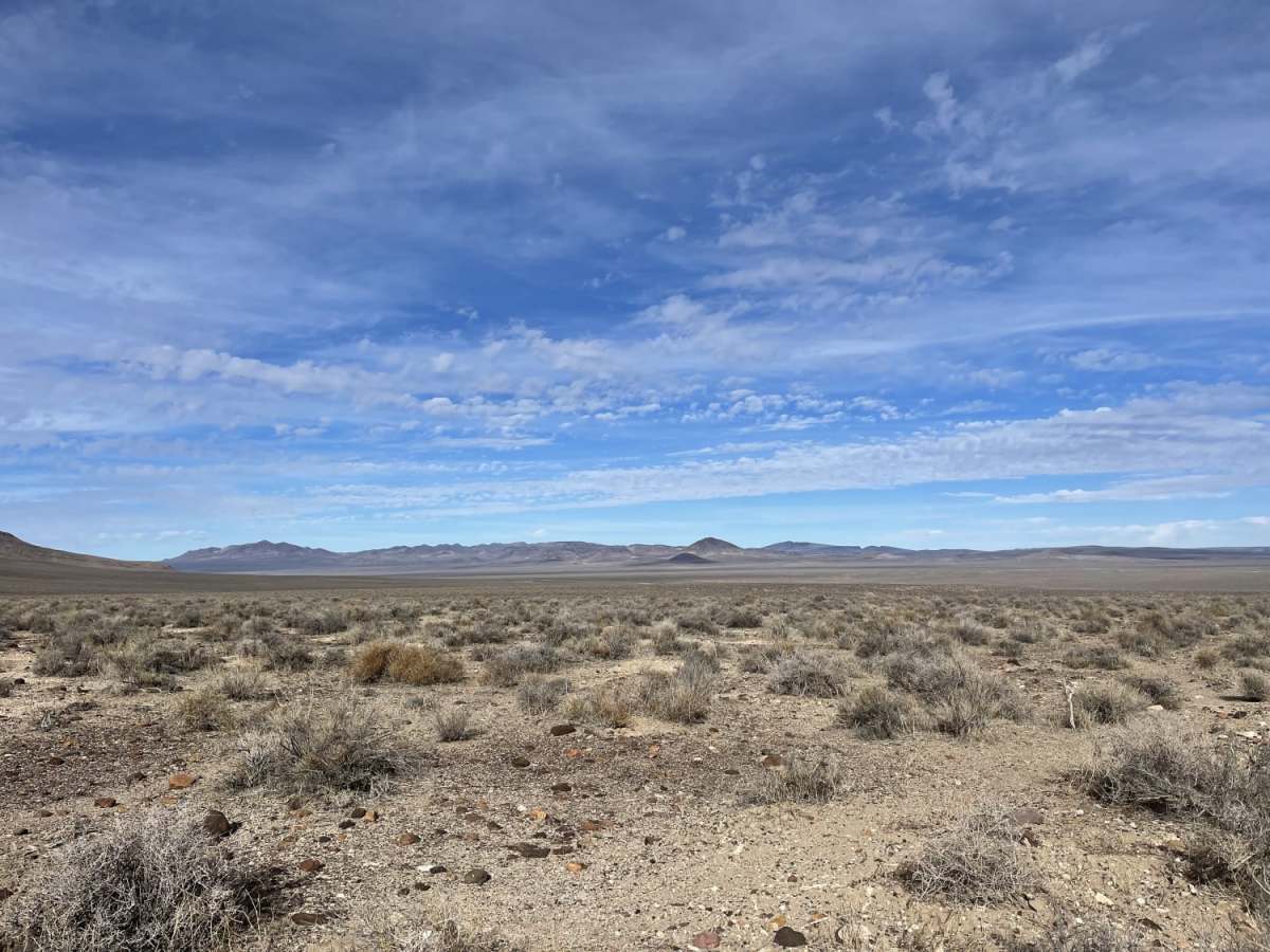
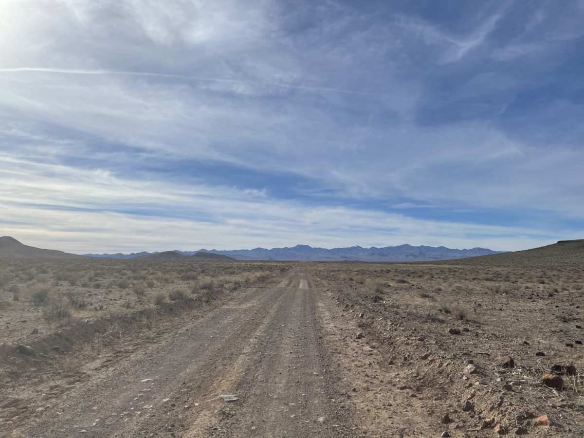
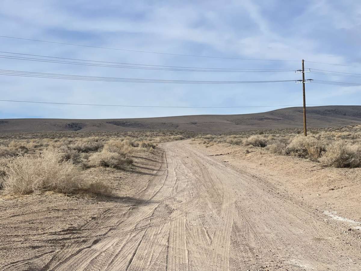
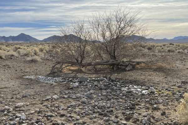
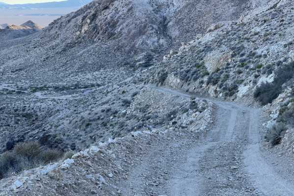
Phinney Canyon Road is an accessible, entry-level dirt road perfect for beginners and scenic cruisers looking to transition from Highway 95 into the vast off-road trail networks of the Nevada desert. Spanning 3.7 miles, this easy, graded trail features a mostly washboard surface with a gentle elevation change, dropping about 240 feet from its high point of 4,170 feet down to 3,930 feet. Rated as a difficulty of 2, the route is wide enough to allow oncoming traffic to pass easily and does not require specialized high-clearance four-wheel-drive vehicles under normal conditions. It serves as a straightforward gateway into the valley, with the option to continue past the end of this recorded segment all the way to the boundary of Death Valley National Park.
While the trail is physically easy, travel in this arid desert region requires self-sufficiency and preparation. Visitors should carry plenty of water, remain alert for local wildlife like rattlesnakes, and be mindful of sharp rocks that can damage standard tires. Cell service is generally reliable here, with up to three bars of Verizon LTE available along the route. For supplies, fuel, and dining, the nearby town of Beatty offers full amenities to stock up before or after heading out. This trail can be navigated by most standard passenger vehicles, utility vehicles, and SxSs, making it a highly approachable connection for exploring the surrounding public lands.
Access Description
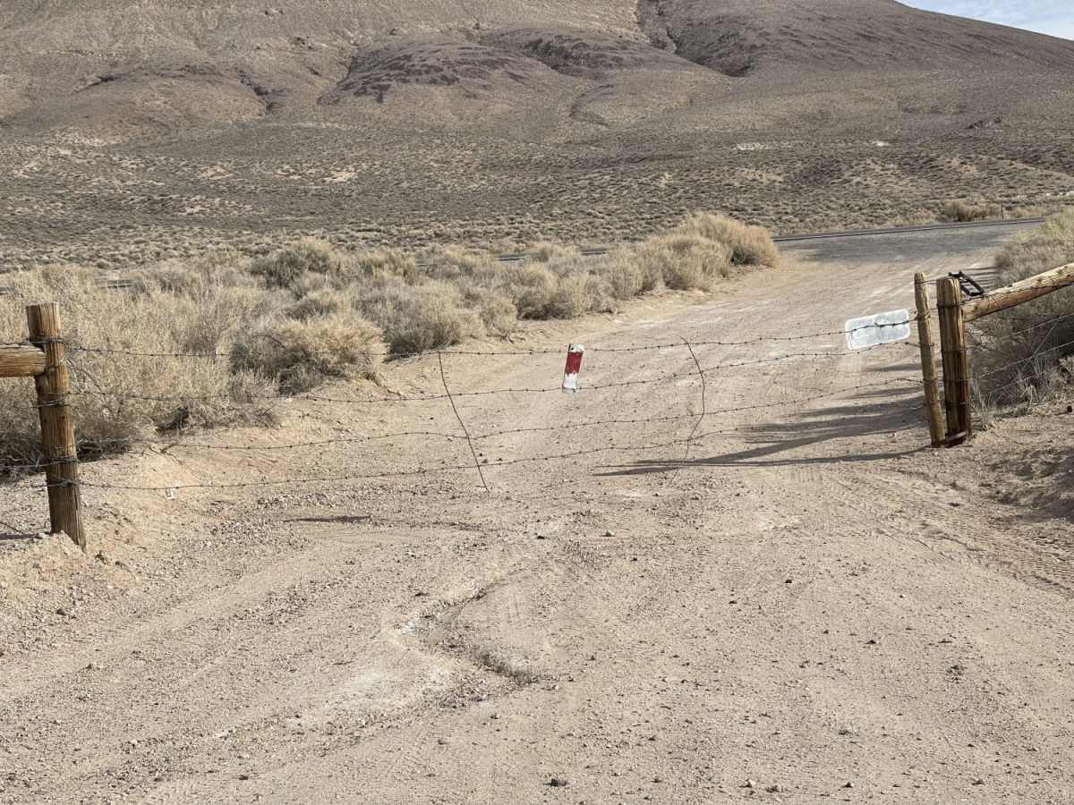
Phinney Canyon Road is located on public land and leads toward the boundary of Death Valley National Park. There are no fees or permits required to drive the trail, but standard desert safety precautions apply, including bringing plenty of water and preparing for high temperatures and remote conditions.