Trail Overview
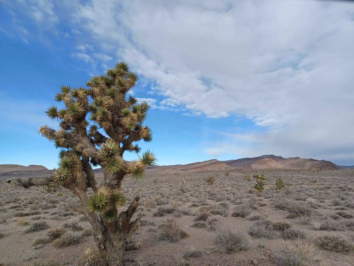
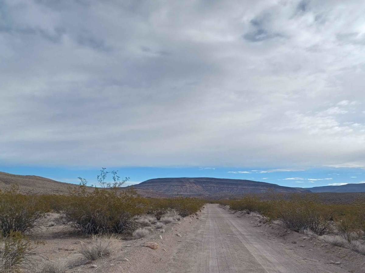
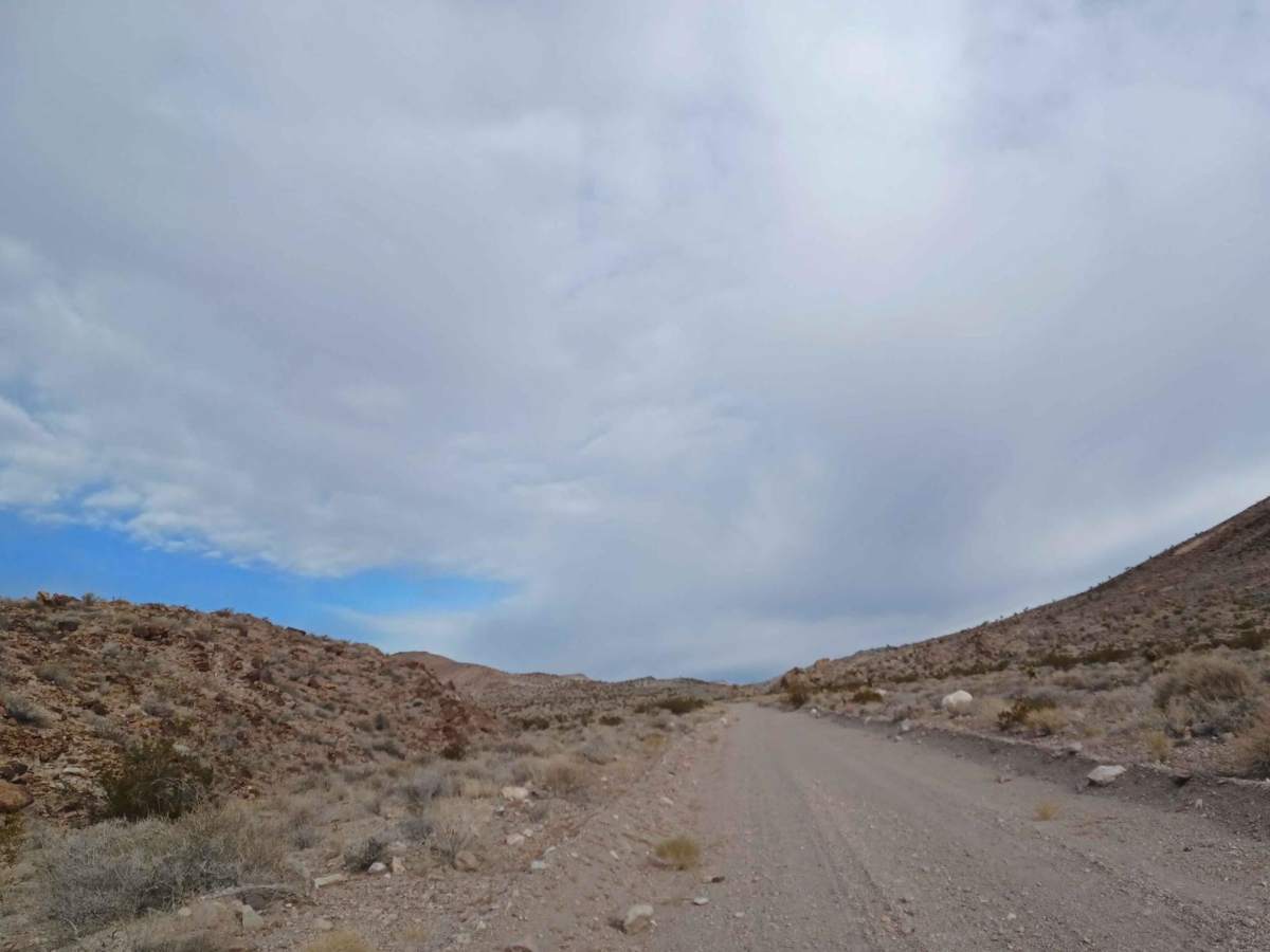
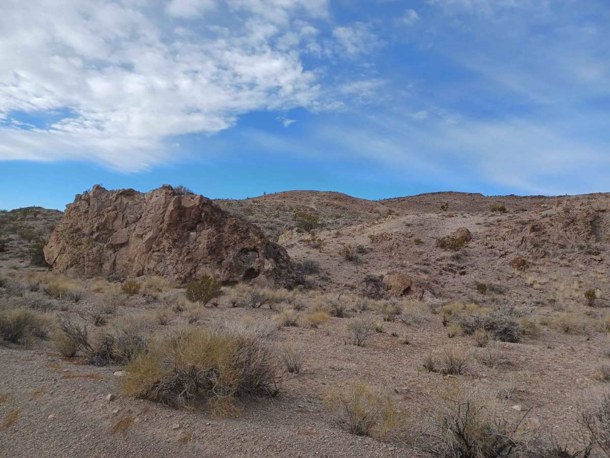
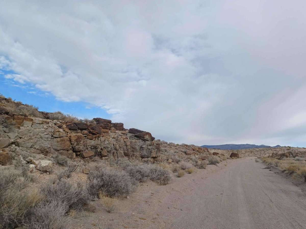
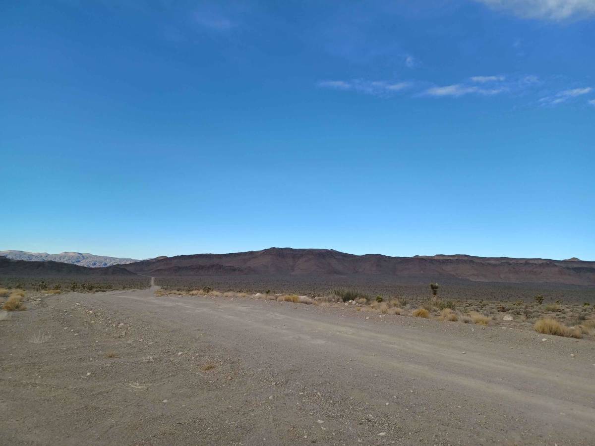
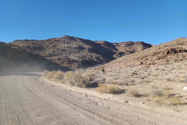
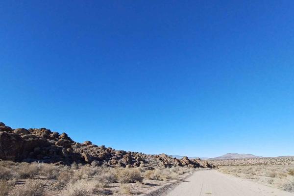
Old Buck Horn Road is an easy, scenic desert trail perfect for beginners, scenic cruisers, and those looking to explore the rugged beauty of Lincoln County, Nevada. Spanning approximately 9 miles through Bureau of Land Management lands, this unpaved route gently climbs 1,181 feet from a starting elevation of 3,338 feet up to 4,519 feet in the Hiko Range. The primary surface consists of well-maintained gravel, interspersed with sections of soft sand and packed dirt that present minimal technical challenge. Along the way, drivers are treated to sweeping desert vistas, striking volcanic rock formations, and dense stands of Joshua trees.
Rated a 2 out of 10 for technical difficulty, this straightforward trail is accessible to most high-clearance vehicles, four-wheel-drive SUVs, and SxSs, though caution should be exercised as the dirt sections can become slick and muddy when wet. The trail begins just off Highway 93 south of Alamo, making it an excellent quick detour or gateway to deeper backcountry exploration near Delamar Lake. For those planning an overnight stay, the nearby Upper Pahranagat Lake Campground offers free developed sites with vault toilets, picnic tables, and grills, providing a perfect base camp for further off-road adventures in the region.
Access Description
This trail is located on Bureau of Land Management public land and does not require any permits or fees. The unpaved route is open year-round, but dirt sections can become slick and muddy when wet, making travel difficult after heavy rains.